Category Archives: Maps
Alta Via dei Monti Liguri Western Part: from Passo del Faiallo to Passo dei Giovi 25K Ed. Multigraphic Map No. AVML1
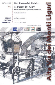
Alta Via dei Monti Liguri in the Genoa Province: the western part from Passo del Faiallo to Passo dei Giovi presented at 1:25,000 on a contoured and GPS compatible map from Edizioni Multigraphic showing the high route and local paths, refuges, places of interest, plus on the reverse lovely drawings of local views and monuments.Contours
Parco della Maremma – Monti dell`e Uccellina Edizioni Multigraphic 504
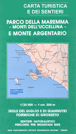
Parco della Maremma – Monti dell`e Uccellina at 1:25,000 in a series of hiking maps from Edizioni Multigraphic covering Tuscany, parts of Umbria, and the adjoining areas. The cartography is rather old fashioned and sometimes not as clear as in the other map series but for many areas, especially for parts of Tuscany, these are
Alta Via dei Monti Liguri Central – Passo dei Giovi to Sella Giassina
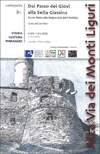
Alta Via dei Monti Liguri in the Genoa Province: the central part from Passo dei Giovi to Sella Giassina presented at 1:25,000 on a contoured and GPS compatible map from Edizioni Multigraphic showing the high route and local paths, refuges, places of interest, plus on the reverse lovely drawings of local views and monuments.Contours at
Alto Casentino – Valli del Bidente 25K Ed. Multigraphic Map No. 33
Alto Casentino – Valli del Bidente, map no. 33, in a series of walking maps covering the Ligurian Alps and the coast, the crest of the Apennines along the border of Tuscany with its neighbouring regions, and parts of Tuscany itself. Most maps have contours at 25-metre intervals, with colouring for forests and some relief
S. Godenzo & the Surrounding Footpaths 25K Ed. Multigraphic Map No. 526
S.Godenzo and the Surrounding Footpaths at 1:25,000 in a series of hiking maps from Edizioni Multigraphic covering Tuscany, parts of Umbria, and the adjoining areas. The cartography is rather old fashioned and sometimes not as clear as in the other map series but for many areas, especially for parts of Tuscany, these are the only
Chianti – Florence and Siena Edizioni Multigraphic 42/43
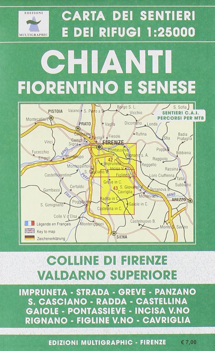
Monti del Chianti, map no. 42/43, in a series of walking maps covering the Ligurian Alps and the coast, the crest of the Apennines along the border of Tuscany with its neighbouring regions, and parts of Tuscany itself. Most maps have contours at 25-metre intervals, with colouring for forests and some relief shading. The cartography
Casentino – Val Tiberina 25K Ed. Multigraphic Map No. 35

Casentino – Val Tiberina, map no. 35, in a series of walking maps covering the Ligurian Alps and the coast, the crest of the Apennines along the border of Tuscany with its neighbouring regions, and parts of Tuscany itself. Most maps have contours at 25-metre intervals, with colouring for forests and some relief shading. The
Florence: The Extent of the Flood in November 1966
A map commemorating the tragic flood on 4th November 1966, showing the extent of the inundation within the city itself and in the surrounding province. A street plan of the historic city centre and the adjoining districts on both banks of the Arno shows the height reached by the flood waters, up to six metres
Elba`s Beaches 25K Ed. Multigraphic Map
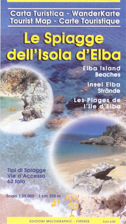
Elba on a double-sided map from Edizioni Multigraphic highlighting 143 beaches, many illustrated with colour photographs, and grading them into sandy, sand and shingle or rocky. The interior is shown on a detailed contoured map with the publishers’ characteristic, somewhat old-fashioned cartography based on the earlier style of the Italian topographic survey.Contours are at 25m
Appennino Modenese – Garfagnana Edizione Multigraphic 18
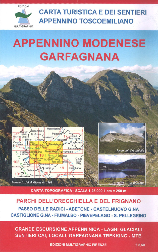
Appennino Modenese – Garfagnana, map no. 18, in a series of walking maps covering the Ligurian Alps and the coast, the crest of the Apennines along the border of Tuscany with its neighbouring regions, and parts of Tuscany itself. Most maps have contours at 25-metre intervals, with colouring for forests and some relief shading. The
Appennino Pistoiese – Monti Pesciatini Edizioni Multigraphic 22
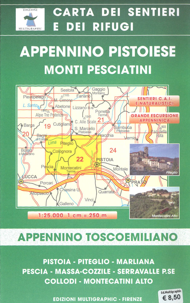
Appennino Pistoiese – Monti Pesciatini, map no. 22, in a series of walking maps covering the Ligurian Alps and the coast, the crest of the Apennines along the border of Tuscany with its neighbouring regions, and parts of Tuscany itself. Most maps have contours at 25-metre intervals, with colouring for forests and some relief shading.
Appenninno Parmense, Reggiano – Alta Lunigiana Edizioni Multigraphic 14
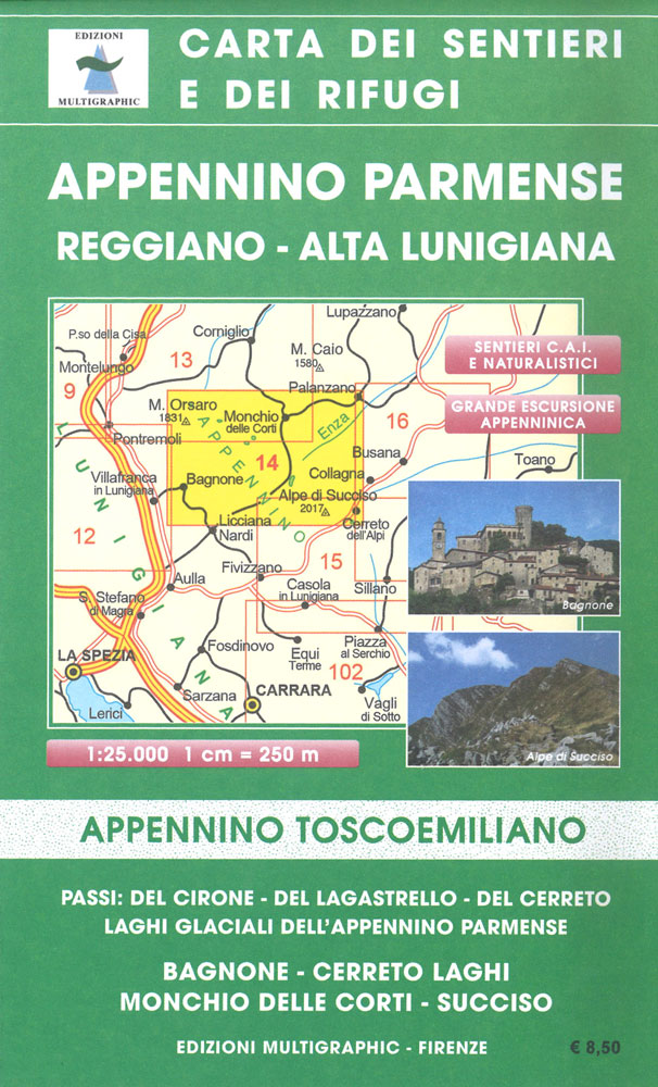
Appenninno Parmense, Reggiano – Alta Lunigiana, map no. 14, in a series of walking maps covering the Ligurian Alps and the coast, the crest of the Apennines along the border of Tuscany with its neighbouring regions, and parts of Tuscany itself. Most maps have contours at 25-metre intervals, with colouring for forests and some relief
Versilia – Riviera Apuana – Alpi Apuane Edizioni Multigraphic 711
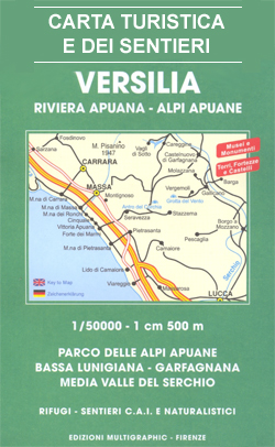
Versilia – Parco delle Alpi Apuane at 1:50,000 in a series of hiking maps from Edizioni Multigraphic covering Tuscany, parts of Umbria, and the adjoining areas. The cartography is rather old fashioned and sometimes not as clear as in the other map series but for many areas, especially for parts of Tuscany, these are the
Appennino Reggiano – Lunigiana – Garfagnana Edizioni Multigraphic 15
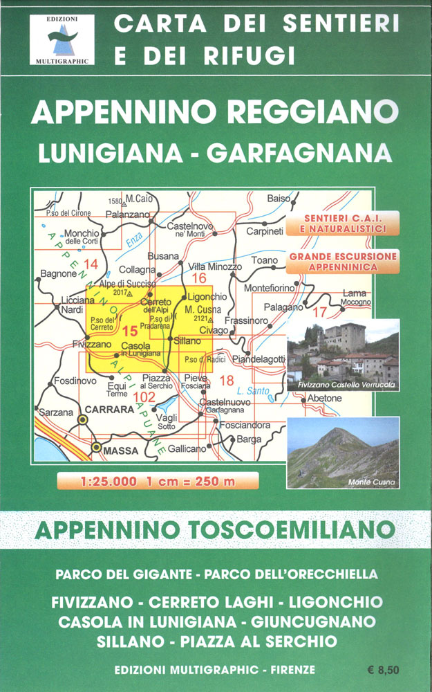
Appennino Reggiano: Lunigiana – Garfagnana, map no. 15, in a series of walking maps covering the Ligurian Alps and the coast, the crest of the Apennines along the border of Tuscany with its neighbouring regions, and parts of Tuscany itself. Most maps have contours at 25-metre intervals, with colouring for forests and some relief shading.
Riviera di Ponente – Albisola Marina to Noli Edizioni Multigraphic 103

Map No. 103, covering at 1:25,000 the coast of the Italian Riviera from Albisola Marina across Savona to Noli and inland to Altare. The map is part of a series of walking maps from Edizioni Multigraphic covering the Ligurian Alps and the coast, the crest of the Apennines along the border between Tuscany with the
Appennino Pistoiese e Modenese Edizioni Multigraphic 19
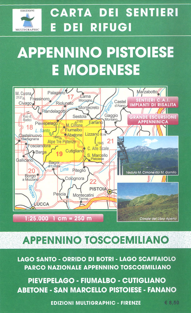
Appennino Modenese e Pistoiese, map no. 19, in a series of walking maps covering the Ligurian Alps and the coast, the crest of the Apennines along the border of Tuscany with its neighbouring regions, and parts of Tuscany itself. Most maps have contours at 25-metre intervals, with colouring for forests and some relief shading. The
Riviera di Ponente: Albegna to Diano Marina 25K Ed. Multigraphic Map No. 106

iviera di Ponente: Albegna to Diano Marina in a series of walking maps covering the Ligurian Alps and the coast, the crest of the Apennines along the border of Tuscany with its neighbouring regions, and parts of Tuscany itself. Most maps have contours at 25-metre intervals, with colouring for forests and some relief shading. The
Appennino Bolognese e Pistoiese Edizioni Multigraphic 21

Appennino Bolognese e Pistoiese, map no. 21, in a series of walking maps covering the Ligurian Alps and the coast, the crest of the Apennines along the border of Tuscany with its neighbouring regions, and parts of Tuscany itself. Most maps have contours at 25-metre intervals, with colouring for forests and some relief shading. The
Imperia – San Remo – Ventimiglia Edizioni Multigraphic 111/112

Imperia – San Remo – Ventimiglia, map no. 111/112, in a series of walking maps covering the Ligurian Alps and the coast, the crest of the Apennines along the border of Tuscany with its neighbouring regions, and parts of Tuscany itself. Most maps have contours at 25-metre intervals, with colouring for forests and some relief
Appennino Bolognese e Pratese Edizioni Multigraphic 23
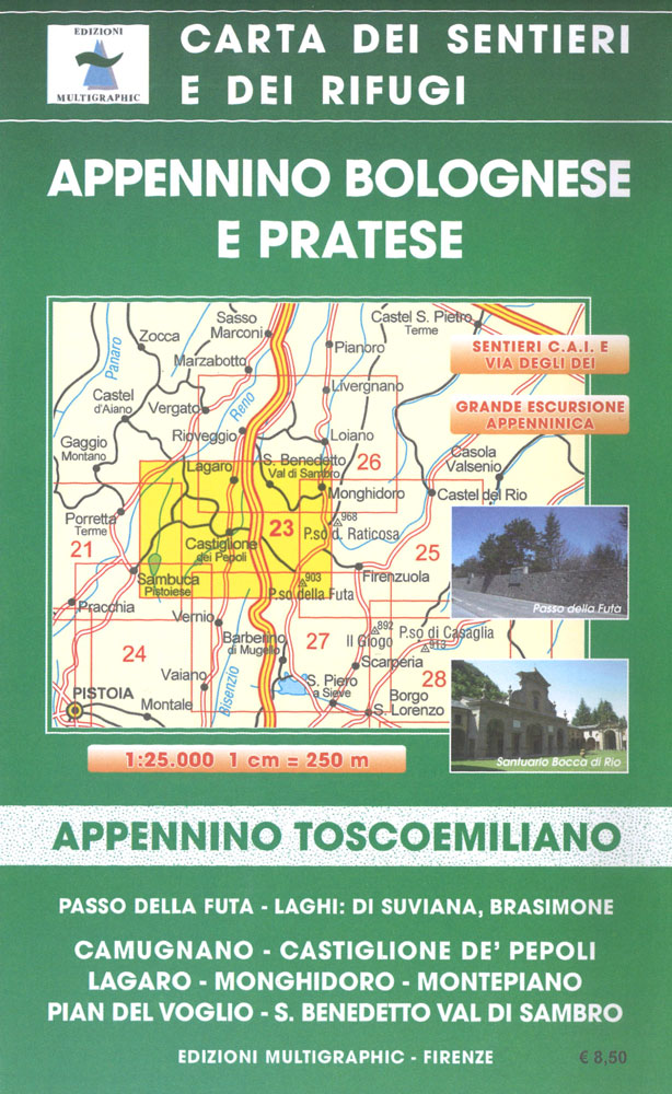
Appennino Bolognese e Pratese, map no. 24, in a series of walking maps covering the Ligurian Alps and the coast, the crest of the Apennines along the border of Tuscany with its neighbouring regions, and parts of Tuscany itself. Most maps have contours at 25-metre intervals, with colouring for forests and some relief shading. The


