Category Archives: Maps
Frosinone Province

Frosinone Province at 1:150,000 in a series of handy size provincial road maps from Litografia Artistica Cartografica (LAC) with more minor local roads and country tracks than can be found on most regional maps from other publishers. This title is published with the traditional style LAC cartography.LAC’s provincial series is gradually being changed to a
Caserta Province

Caserta Province at 1:100,000 in a series of handy size provincial road maps from Litografia Artistica Cartografica (LAC) with more minor local roads and country tracks than can be found on most regional maps from other publishers. This title is published with the traditional style LAC cartography.LAC’s provincial series is gradually being changed to a
Ragusa Province

Ragusa Province at 1:150,000 in a series of handy size provincial road maps from Litografia Artistica Cartografica (LAC) with more minor local roads and country tracks than can be found on most regional maps from other publishers. This title is now published with new digital cartography.LAC’s provincial series is gradually being changed to a new
Alta Via dei Monti Liguri Eastern Part: From Sella Giassina to Passo del Bocco 25K Ed. Multigraphic Map No. AVML3
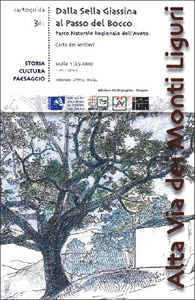
Alta Via dei Monti Liguri in the Genoa Province: the eastern part from Sella Giassina to Passo del Bocco presented at 1:25,000 on a contoured and GPS compatible map from Edizioni Multigraphic showing the high route and local paths, refuges, places of interest, plus on the reverse lovely drawings of local views and monuments.Contours at
Padua Global Map Street Plan
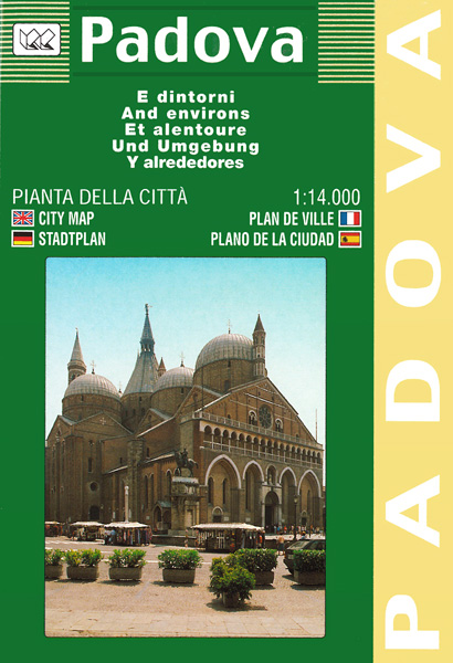
Padua (Padova) at 1: 14,000 on an indexed street plan from Litografia Artistica Cartografica in their Globalmap imprint, with a detailed enlargement of the city’s historic centre at 1:8,000. 60 monuments including historic buildings and churches, cultural or educational institutions, and important municipal buildings or facilities are numbered and listed next to the plan. Car
Pilgrim Routes in the Florentine Countryside: Western Part
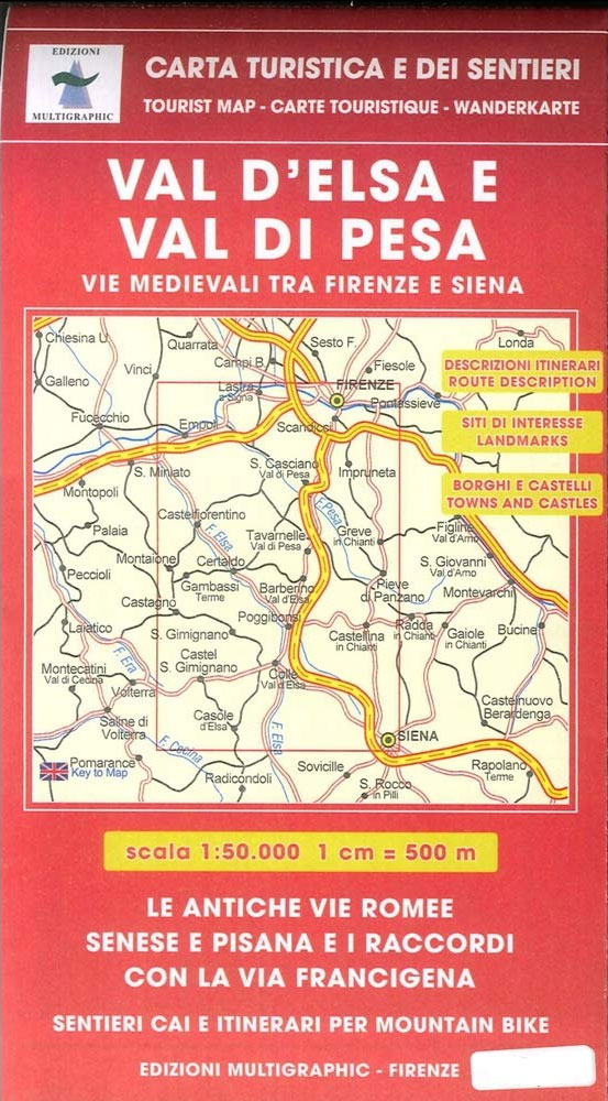
Pilgrim Routes in the Florentine Countryside: Western Part at 1:50,000 is one of two maps from Edizioni Multigraphics highlighting old routes towards Rome, in this title: Via Sanese and Via Pisana, plus a section of Via Francigena.The map covers an area between Florence and Siena and highlights the course of two routes between these cities:
Pescara Province

Pescara Province at 1:100,000 in a series of handy size provincial road maps from Litografia Artistica Cartografica (LAC) with more minor local roads and country tracks than can be found on most regional maps from other publishers. This title is published with the traditional style LAC cartography.LAC’s provincial series is gradually being changed to a
Pilgrim Routes in the Florentine Countryside: Eastern Part
Pilgrim Routes in the Florentine Countryside: Eastern Part at 1:50,000 is one of two maps from Edizioni Multigraphics highlighting old routes towards Rome, in this title: La Strada dei Sette Ponti, Via Aretina and Via Bolognese.The map is double-sided and covers on one side the area north of Florence to Pietramala, highlighting the course of
Macerata Province

Macerata Province at 1:150,000 in a series of handy size provincial road maps from Litografia Artistica Cartografica (LAC) with more minor local roads and country tracks than can be found on most regional maps from other publishers. This title is published with the traditional style LAC cartography.LAC’s provincial series is gradually being changed to a
Riviera di Ponente: Finale Ligure to Albenga 25K Ed. Multigraphic Map No. 104
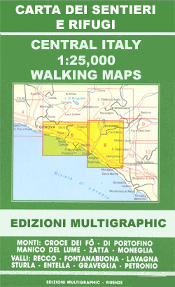
Map No. 104, covering at 1:25,000 the coast of the Italian Riviera from Finale Ligure to Albenga and inland beyond Monte Carmo. The map is part of a series of walking maps from Edizioni Multigraphic covering the Ligurian Alps and the coast, the crest of the Apennines along the border between Tuscany with the neighbouring
Bolzano – Merano
Bolzano (Bozen) at 1: 8,000 and Merano (Meran) at 1:10,000 on indexed street plans from Litografia Artistica Cartografica, 41 monuments in Bolzano and 19 in Merano, including historic buildings and churches, cultural or educational institutions, and important municipal buildings or facilities are numbered and listed next to the plan. Car parks are prominently marked. Each
Florence: The Extent of the Flood in November 1966
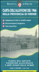
A map commemorating the tragic flood on 4th November 1966, showing the extent of the inundation within the city itself and in the surrounding province. A street plan of the historic city centre and the adjoining districts on both banks of the Arno shows the height reached by the flood waters, up to six metres
Elba`s Beaches 25K Ed. Multigraphic Map
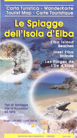
Elba on a double-sided map from Edizioni Multigraphic highlighting 143 beaches, many illustrated with colour photographs, and grading them into sandy, sand and shingle or rocky. The interior is shown on a detailed contoured map with the publishers’ characteristic, somewhat old-fashioned cartography based on the earlier style of the Italian topographic survey.Contours are at 25m
Appennino Modenese – Garfagnana Edizione Multigraphic 18
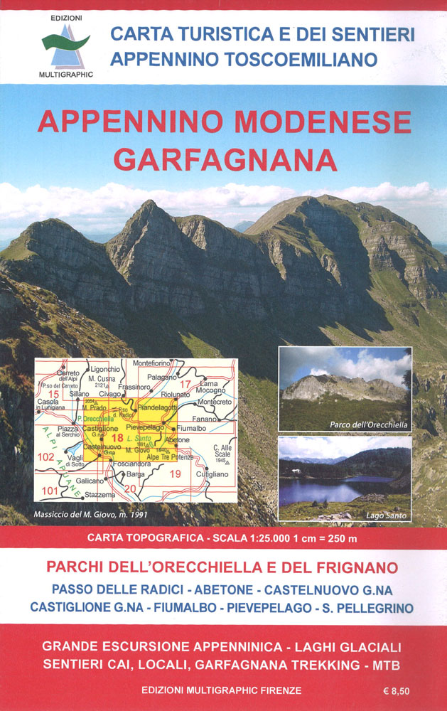
Appennino Modenese – Garfagnana, map no. 18, in a series of walking maps covering the Ligurian Alps and the coast, the crest of the Apennines along the border of Tuscany with its neighbouring regions, and parts of Tuscany itself. Most maps have contours at 25-metre intervals, with colouring for forests and some relief shading. The
Appennino Pistoiese – Monti Pesciatini Edizioni Multigraphic 22
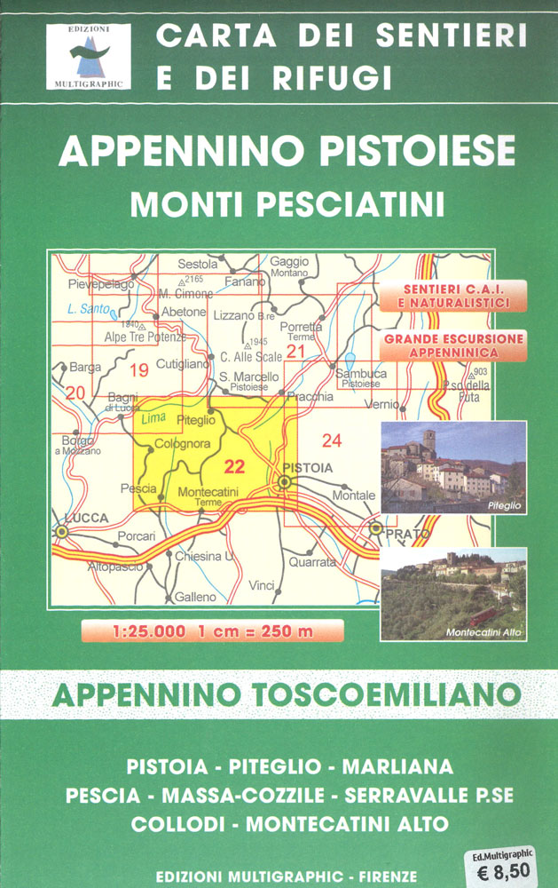
Appennino Pistoiese – Monti Pesciatini, map no. 22, in a series of walking maps covering the Ligurian Alps and the coast, the crest of the Apennines along the border of Tuscany with its neighbouring regions, and parts of Tuscany itself. Most maps have contours at 25-metre intervals, with colouring for forests and some relief shading.
Riviera do Levante – Chiavari – Sestri Levante – Moneglia 25K Ed. Multigraphic Map No. 8

Chiavari – Sestri Levante – Borzonasca, map no. 8, in a series of walking maps covering the Ligurian Alps and the coast, the crest of the Apennines along the border of Tuscany with its neighbouring regions, and parts of Tuscany itself. Most maps have contours at 25-metre intervals, with colouring for forests and some relief
Appennino Parmense – Alta Lunigiana Edizioni Multigraphic 13
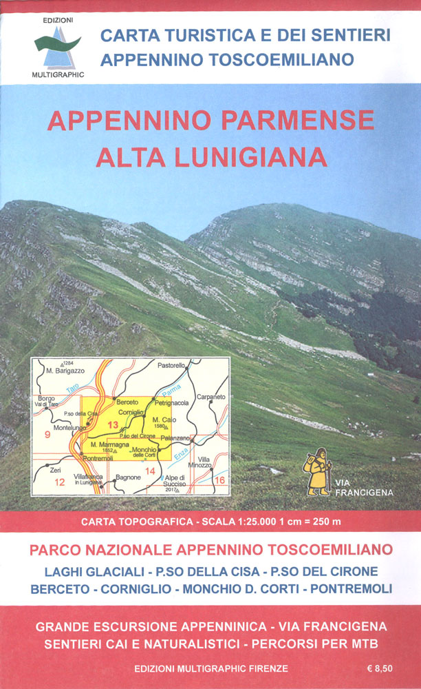
Appennino Parmense – Alta Lunigiana: Berceto – Pontremoli, map no. 13, in a series of walking maps covering the Ligurian Alps and the coast, the crest of the Apennines along the border of Tuscany with its neighbouring regions, and parts of Tuscany itself. Most maps have contours at 25-metre intervals, with colouring for forests and
Alto Frignano – Appennino Modenese Edizioni Multigraphic 17

Alto Frignano – Appennino Modenese, map no. 17, in a series of walking maps covering the Ligurian Alps and the coast, the crest of the Apennines along the border of Tuscany with its neighbouring regions, and parts of Tuscany itself. Most maps have contours at 25-metre intervals, with colouring for forests and some relief shading.
Bassa Lunigiana – Monte Marcello – Golfo della Spezia Edizioni Multigraphic 508
Bassa Lunigiana – Monte Marcello – Golfo della Spezia in a series of hiking maps covering Tuscany, parts of Umbria, and the adjoining areas. The cartography is rather old fashioned and sometimes not as clear as in the other map series but for many areas, especially for parts of Tuscany, these are the only hiking
Valle di Roja – M. Toraggio – M. Grammondo Edizioni Multigraphic 113/114

Valle di Roja – M. Toraggio – M. Grammondo, map no. 113/114, in a series of walking maps covering the Ligurian Alps and the coast, the crest of the Apennines along the border of Tuscany with its neighbouring regions, and parts of Tuscany itself. Most maps have contours at 25-metre intervals, with colouring for forests


