Category Archives: Maps
Genoa Global Map Street Plan
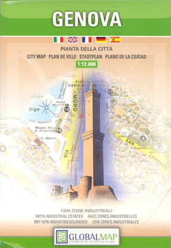
Genoa (Genova) on an indexed street plan at 1:12,000 from Litografia Artistica Cartografica in their Globalmap imprint, with a detailed enlargement of the city’s historic centre at 1:6,000. 103 monuments including historic buildings and churches, cultural or educational institutions, and important municipal buildings or facilities are numbered and listed next to the plans. The city’s
Capri Global Map Tourist Map
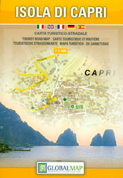
Capri on a detailed tourist map at 1:7,500 from Litografia Artistica Cartografica in their Global Map imprint, with on the reverse extensive lists of various facilities on the island including different types of accommodation, restaurants, sea trips and motor boat hire, etc.The map shows the network of local roads, naming many of the connecting streets.
Maremma Natural Park
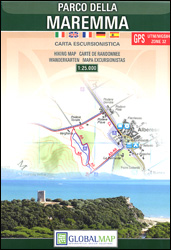
Parco della Maremma on the southern coast of Tuscany on a detailed, GPS compatible map at 1:25,000 from Litografia Artistica Cartografica. The map shows the boundary of the protected area and highlights various places of interest, including the visitors’ centre, bird watching sites, historical and archaeological places, beaches, car parks, etc. An overprint shows several
Lake Garda Global Map Tourist Map
Lake Garda and the surrounding area at 1:75,000 from Litografia Artistica Cartografica in their Globalmap imprint, highlighting five sightseeing routes chosen to present the diversity of its landscape and its sights. Lovely clear cartography makes the road network easy to see, both the selected routes and other local roads and cart tracks.Icons indicate various places
Pordenone
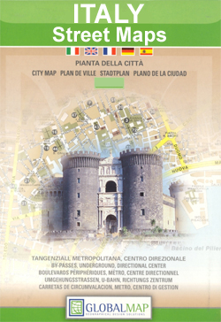
Pordenone at 1:10,000 on an indexed street plan from Litografia Artistica Cartografica, Italy’s leading publishers of city maps with an extensive range of titles. Where appropriate, the plans include an enlargement showing the historic centre in greater detail. On each plan monuments including historic buildings and churches, archaeological sites, cultural or educational institutions, and important
Siracusa / Syracuse Province
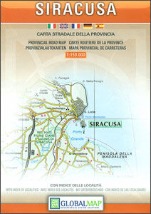
Siracusa Province at 1:150,000 in a series of handy size provincial road maps from Litografia Artistica Cartografica (LAC) with more minor local roads and country tracks than can be found on most regional maps from other publishers. This title is now available in a digitally produced edition.LAC’s provincial series is gradually being changed to a
Biella
Biella at 1:6,000 on an indexed street plan from Litografia Artistica Cartografica, Italy’s leading publishers of city maps with an extensive range of titles. Where appropriate, the plans include an enlargement showing the historic centre in greater detail. On each plan monuments including historic buildings and churches, archaeological sites, cultural or educational institutions, and important
Brindisi
Brindisi at 1:10,000 on indexed street plan from Litografia Artistica Cartografica, with a detailed enlargement of the city’s historic centre at 1:6,000. 27 monuments including historic buildings and churches, cultural or educational institutions, and important municipal buildings or facilities are numbered and listed on the plans. Litografia Artistica Cartografica (LAC) are Italy’s leading publishers of
Parma Global Map Street Plan
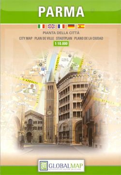
Parma at 1: 12,000 on indexed street plans from Litografia Artistica Cartografica in their Globalmap imprint, with a detailed enlargement of the city’s historic centre at 1:5,000. 48 monuments including historic buildings and churches, cultural or educational institutions, and important municipal buildings or facilities are numbered and listed next to the plan. An inset extends
Siena Central
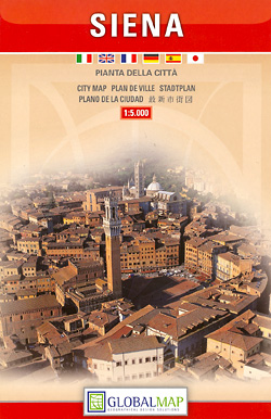
Central Siena on a detailed, indexed plan at 1:5,000 highlighting many of its famous monuments by small drawings. Coverage extends beyond the old city walls, particularly to the south and west to include the railway station.The index has a list of 74 monuments including historic buildings and churches, cultural or educational institutions, and important municipal
Udine Province

Udine Province at 1:150,000 in a series of handy size provincial road maps from Litografia Artistica Cartografica (LAC) with more minor local roads and country tracks than can be found on most regional maps from other publishers. This title is now available in a digitally produced edition.LAC’s provincial series is gradually being changed to a
Etruscan Coast – Pisa – Livorno – Piombino Global Map Tourist Map
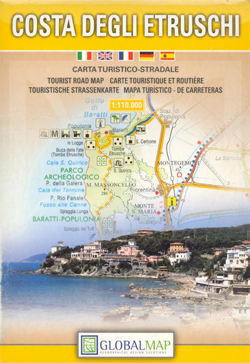
The central coast of Tuscany on a detailed road map from Litografia Artistica Cartografica, with five sightseeing routes and an extensive overprint presenting numerous places of interest and recreational facilities, beaches, protected areas, etc.The map extends from Pisa and Livorno to the Piombino promontory and further along the coast to Follonica, plus inland to Volterra,
Pisa Central Street Plan
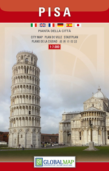
Central Pisa on an indexed street plan at 1:7,000 from Litografia Artistica Cartografica prominently highlighting 67 places of interest, both modern and historical. Coverage extends from the Cathedral and the Leaning Tower to the terminal of the Galileo Galilei Airport. Main traffic arteries are highlighted and locations of car parks are marked. The index is
Italy Road Atlas A4 PAPERBACK
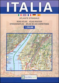
Italy Road Atlas at 1:250,000 from the Litografia Artistica Cartografica in their GlobalMap imprint, with 21 street plans each shown with a map of the city’s environs, route profiles of the country’s motorways, plus mapping at 1:900,000 for route planning. The main section of the atlas covers Italy at 1:250,000 on mapping which provides an
Monte Pisano
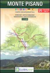
Monte Pisano area between Lucca and Pisa at 1:25,000 on a detailed, contoured, GPS compatible map from Litografia Artistica Cartografica in their Global Map imprint, with special thematic trails and other hiking routes, cycle paths, etc.The map covers the hills between the outskirts of Lucca and Pisa, extending south to the Arno and east to
Costa degli Dei – Tropea – Vibo Valentia Global Map Tourist Map
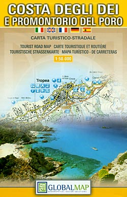
The Horn of Calabria: Costa degli Dei – Tropea – Vibo Valentia at 1:50,000 on a detailed contoured map from LAC in their GlobalMap imprint, highlighting the area’s numerous beaches, campsites, and other places of interest.Topography is shown by relief shading with colouring for woodlands and names of many geographical features. Road network includes local
Valmalenco
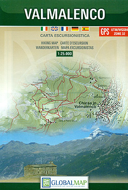
Valmalenco on a double-sided, contoured and GPS compatible map at 1:25,000 from Litografia Artistica Cartografica in their Global Map imprint. Coverage extends from Sondrio and the Adda River northwards to beyond the Swiss border and includes Monte Disgrazia, Pizzo Scalino and the peak of Bernina with the surrounding glaciers.The map has contours at 20m intervals,
Monti Nebrodi
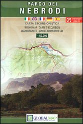
Parco Naturale dei Monti Nebrodi on the northern coast of Sicily on a contoured and GPS compatible map at 1:50,000 from Litografia Artistica Cartografica in their Global Map imprint, highlighting hiking trails plus various facilities and/or places of interest in and around the park.Topography is shown by contours at 25m intervals with light relief shading
Zingaro and Monte Cofano Nature Reserves
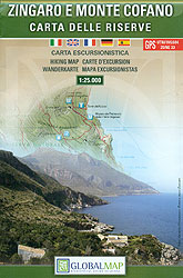
Zingaro and Monte Cofano Nature Reserves on the north western-coast of Sicily between Palermo and Trapani on a detailed, GPS compatible map at 1:25,000 from LAC in their Globalmap imprint. Topography of this interesting area is very well presented by contours at 25m intervals, enhanced by shading and graphic relief, plus colouring to show shrub


