Category Archives: Maps
Trapani Province

Trapani Province at 1:150,000 in a series of handy size provincial road maps from Litografia Artistica Cartografica (LAC) with more minor local roads and country tracks than can be found on most regional maps from other publishers. This title is now available in a digitally produced edition.LAC’s provincial series is gradually being changed to a
Agrigento
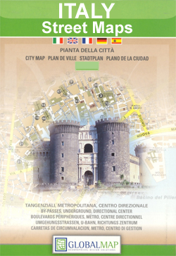
Agrigento, including Villaseta, on an indexed street plan at 1:6,000 from Litografia Artistica Cartografica in their Globalmap imprint. An inset at 1:9.000 extends the coverage south to include the archaeological site of the Valle dei Templi. 59 temples and other buildings or monuments within the city itself are prominently highlighted. Coverage also includes insets for
Verona City and Province
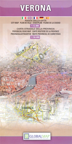
Verona at 1: 12,000 on an indexed street plan from Litografia Artistica Cartografica (LAC) in their Globalmap imprint, with on the reverse a detailed road map of the Verona Province including the whole of Lake Garda. The street plan covers Verona with its outer suburbs, extending south to the A4 motorway linking the city with
San Gimignano and Volterra
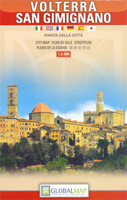
San Gimignano and Volterra, two of Tuscany’s most picturesque and popular tourist destinations, on an indexed street plan from Litografia Artistica Cartografica in their Globalmap imprint, presenting the two towns at 1:2,500 and 1:3,000 respectively.The plans have very clear cartography and large, easy to read print. Main traffic routes to the centre are highlighted, with
Marsala Global Map Street Plan

Marsala on an indexed street plan at 1:6,000 from Litografia Artistica Cartografica in their Global Map edition. 34 monuments including historic buildings and churches, cultural or educational institutions, and important municipal buildings or facilities are numbered and listed next to the plan. An inset covers Isola di San Pantaleo (Mozia) with its the archaeological remains.On
Rieti Province

Rieti Province at 1:100,000 in a series of handy size provincial road maps from Litografia Artistica Cartografica (LAC) with more minor local roads and country tracks than can be found on most regional maps from other publishers. This title is now available in a digitally produced edition.LAC’s provincial series is gradually being changed to a
Mount Etna Morphotectonic Map
Morphotectonic map of the Mount Etna area at 1:75,000 published by Litografia Artistica Cartografica and prepared by the Geology Department of the University of Catania. Extensive text explaining the use of colours and symbols on the map is in Italian and English. The base map has contours at 50m intervals and shows local towns and
Pistoia Province

Pistoia Province at 1:100,000 in a series of handy size provincial road maps from Litografia Artistica Cartografica (LAC) with more minor local roads and country tracks than can be found on most regional maps from other publishers. This title is now available in a digitally produced edition.LAC’s provincial series is gradually being changed to a
Modena Global Map Street Plan

Modena at 1: 12,000 on indexed street plans from Litografia Artistica Cartografica, with a detailed enlargement of the city’s historic centre at 1:6,500. 45 monuments including historic buildings and churches, cultural or educational institutions, and important municipal buildings or facilities are numbered and listed next to the plan. Litografia Artistica Cartografica (LAC) are Italy’s leading
Versilia – Massa – Carrara – Alpi Apuane Global Map Tourist Map
Detailed road and walking map covering the Versilia (the Tuscan coast from Marina di Carrara in the north and Torre del Lago in the south) and almost all of the Alpi Apuane National Park with hill-shading, pick heights and bathymetric information.Road detail includes five kinds of roads, tracks and trails, with names and intermediate driving
Rimini Global Map Street Plan
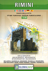
Rimini on an indexed street plan at 1:8,000 from Litografia Artistica Cartografica in their Global Map imprint. 28 monuments including historic buildings and churches, cultural or educational institutions, and important municipal buildings or facilities are numbered and listed next to the plan. Car parks in and around the city centre are prominently marked.On the reverse
Ragusa Global Map Street Plan

Ragusa at 1: 7,000 on an indexed street plan from Litografia Artistica Cartografica in their Globalmap imprint, with a detailed enlargement of the city centre with Ragusa Ibla at 1:4,000. 28 monuments including historic buildings and churches, cultural or educational institutions, and important municipal buildings or facilities are numbered and listed next to the plan.
Lake Bracciano – Monti della Tolfa – Civitavecchia Global Map Tourist Map
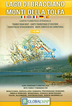
Lake Bracciano – Monti della Tolfa ‘“ Civitavecchia area of Lazio north-west of Rome presented at 1:50,000 on a double-sided, detailed, contoured map from LAC in their GlobalMap imprint, highlighting sightseeing itineraries and various places of interest.Topography is shown by contours and relief shading, plus numerous spot heights and colouring for woodlands and names of
Prato – Montemurlo

Prato with Montemurlo at 1:12,000 on an indexed street plan from Litografia Artistica Cartografica, Italy’s leading publishers of city maps with an extensive range of titles. Where appropriate, the plans include an enlargement showing the historic centre in greater detail. On each plan monuments including historic buildings and churches, archaeological sites, cultural or educational institutions,
Maremma Natural Park
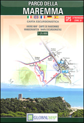
Parco della Maremma on the southern coast of Tuscany on a detailed, GPS compatible map at 1:25,000 from Litografia Artistica Cartografica. The map shows the boundary of the protected area and highlights various places of interest, including the visitors’ centre, bird watching sites, historical and archaeological places, beaches, car parks, etc. An overprint shows several
Lake Garda Global Map Tourist Map
Lake Garda and the surrounding area at 1:75,000 from Litografia Artistica Cartografica in their Globalmap imprint, highlighting five sightseeing routes chosen to present the diversity of its landscape and its sights. Lovely clear cartography makes the road network easy to see, both the selected routes and other local roads and cart tracks.Icons indicate various places
Pordenone

Pordenone at 1:10,000 on an indexed street plan from Litografia Artistica Cartografica, Italy’s leading publishers of city maps with an extensive range of titles. Where appropriate, the plans include an enlargement showing the historic centre in greater detail. On each plan monuments including historic buildings and churches, archaeological sites, cultural or educational institutions, and important
Siracusa / Syracuse Province
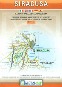
Siracusa Province at 1:150,000 in a series of handy size provincial road maps from Litografia Artistica Cartografica (LAC) with more minor local roads and country tracks than can be found on most regional maps from other publishers. This title is now available in a digitally produced edition.LAC’s provincial series is gradually being changed to a
Biella
Biella at 1:6,000 on an indexed street plan from Litografia Artistica Cartografica, Italy’s leading publishers of city maps with an extensive range of titles. Where appropriate, the plans include an enlargement showing the historic centre in greater detail. On each plan monuments including historic buildings and churches, archaeological sites, cultural or educational institutions, and important
Brindisi
Brindisi at 1:10,000 on indexed street plan from Litografia Artistica Cartografica, with a detailed enlargement of the city’s historic centre at 1:6,000. 27 monuments including historic buildings and churches, cultural or educational institutions, and important municipal buildings or facilities are numbered and listed on the plans. Litografia Artistica Cartografica (LAC) are Italy’s leading publishers of


