Category Archives: Maps
Dolomiti di Sesto / Sextener Dolomiten Tabacco 010
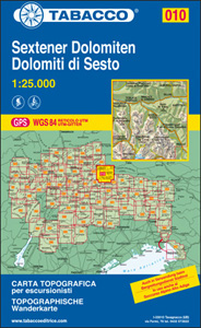
Dolomiti di Sesto/Sextener Dolomiten area in a series of Tabacco maps at 1:25,000 covering the Dolomites and the mountains of north-eastern Italy – Stanfords’ most popular coverage for this region, with excellent cartography and extensive overprint for hiking routes and other recreational activities, local bus stops, etc. Additional overprint in this title shows cycle trails
Merano and the Surrounding Area Tabacco 011
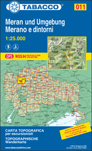
Merano and the Surrounding Area in a series of Tabacco maps at 1:25,000 covering the Dolomites and the mountains of north-eastern Italy – Stanfords’ most popular coverage for this region, with excellent cartography and extensive overprint for hiking routes and other recreational activities, local bus stops, etc. Additional overprint in this title shows cycling trails
Val di Fiemme – Lagorai – Latemar Tabacco 014
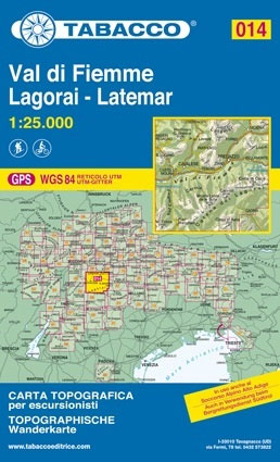
Val di Fiemme – Lagorai ‘“ Latemar area in a series of Tabacco maps at 1:25,000 covering the Dolomites and the mountains of north-eastern Italy – Stanfords’ most popular coverage for this region, with excellent cartography and extensive overprint for hiking routes and other recreational activities, local bus stops, etc. Additional overprint in this title
Marmolada – Pelmo – Civetta – Maiozza Tabacco 015
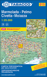
Marmolada – Pelmo – Civetta ‘“ Maiozza area in a series of Tabacco maps at 1:25,000 covering the Dolomites and the mountains of north-eastern Italy – Stanfords’ most popular coverage for this region, with excellent cartography and extensive overprint for hiking routes and other recreational activities, local bus stops, etc. Additional overprint in this title
Monte Velino – Altopiano delle Rocche – Monti della Duchessa

Abruzzo, Lazio and Molise National Park on a contoured, GPS compatible map at 1:50,000 published by Selca in cooperation with the park authorities, highlighting waymarked hiking trails, accommodation and other places of interest.The map has contours at 50m intervals, enhanced by shading and graphic relief. The overprint highlights hiking routes, indicating their waymarking numbers. Symbols
Dolomiti del Centro Cadore Tabacco 016
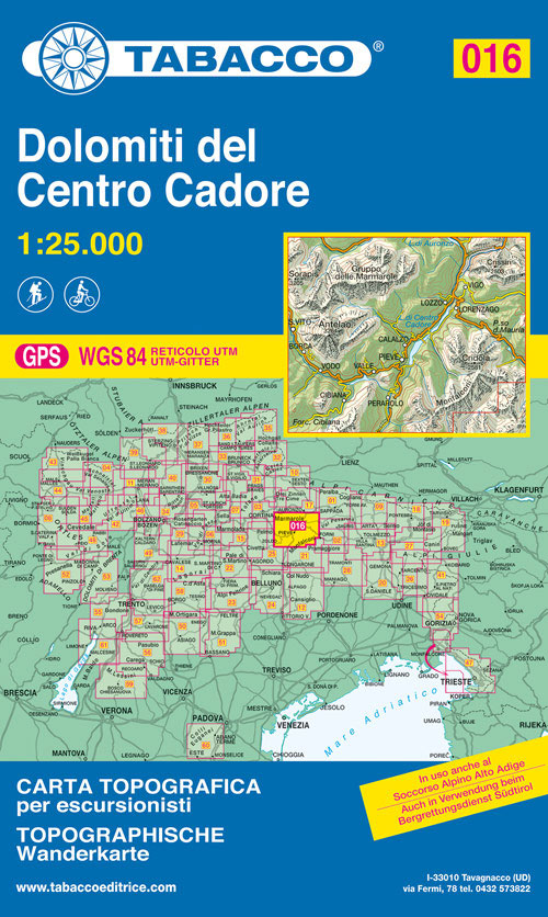
Dolomiti del Centro Cadore area in a series of Tabacco maps at 1:25,000 covering the Dolomites and the mountains of north-eastern Italy – Stanfords’ most popular coverage for this region, with excellent cartography and extensive overprint for hiking routes and other recreational activities, local bus stops, etc. Additional overprint in this title shows cycle and
Parco di Veio
Abruzzo, Lazio and Molise National Park on a contoured, GPS compatible map at 1:50,000 published by Selca in cooperation with the park authorities, highlighting waymarked hiking trails, accommodation and other places of interest.The map has contours at 50m intervals, enhanced by shading and graphic relief. The overprint highlights hiking routes, indicating their waymarking numbers. Symbols
Dolomiti di Auronzo e del Comelico Tabacco 017
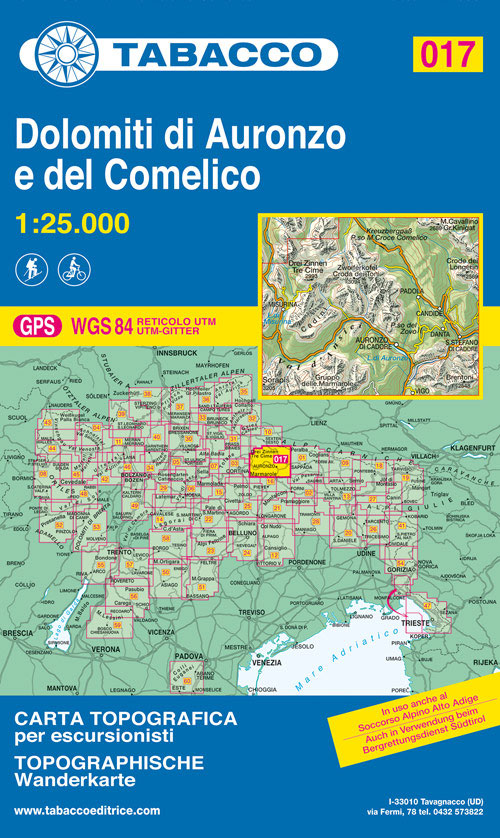
Dolomiti di Auronzo e del Comelico area in a series of Tabacco maps at 1:25,000 covering the Dolomites and the mountains of north-eastern Italy – Stanfords’ most popular coverage for this region, with excellent cartography and extensive overprint for hiking routes and other recreational activities, local bus stops, etc. Additional overprint in this title shows
Parco d`Abruzzo
Abruzzo, Lazio and Molise National Park on a contoured, GPS compatible map at 1:50,000 published by Selca in cooperation with the park authorities, highlighting waymarked hiking trails, accommodation and other places of interest.The map has contours at 50m intervals, enhanced by shading and graphic relief. The overprint highlights hiking routes, indicating their waymarking numbers. Symbols
Prealpi Carniche e Giuli de Gemonese Tabacco 020
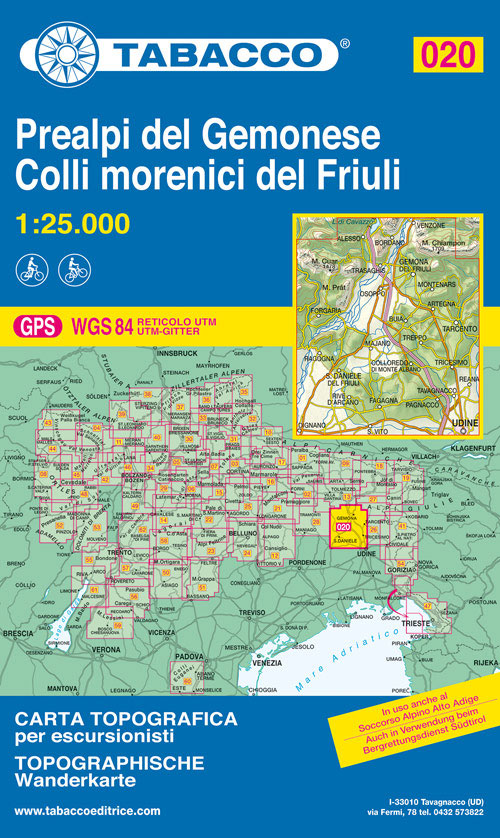
Prealpi Carniche e Giuli de Gemonese area in a series of Tabacco maps at 1:25,000 covering the Dolomites and the mountains of north-eastern Italy – Stanfords’ most popular coverage for this region, with excellent cartography and extensive overprint for hiking routes and other recreational activities, local bus stops, etc. Additional overprint in this title shows
Sappada – S. Stefano – Forni Avoltri Tabacco 01

Sappada – S. Stefano – Forni Avoltri area in a series of Tabacco maps at 1:25,000 covering the Dolomites and the mountains of north-eastern Italy – Stanfords’ most popular coverage for this region, with excellent cartography and extensive overprint for hiking routes and other recreational activities, local bus stops, etc. Additional overprint in this title
Dolomiti di Sinistra Piave Tabacco 021
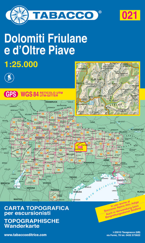
Dolomiti di Sinistra Piave area in a series of Tabacco maps at 1:25,000 covering the Dolomites and the mountains of north-eastern Italy – Stanfords’ most popular coverage for this region, with excellent cartography and extensive overprint for hiking routes and other recreational activities, local bus stops, etc. Additional overprint in this title shows ski routes.
Forni di Sopra – Ampezzo – Sร uris – Alta Val Taglimento Tabacco 02
Forni di Sopra – Ampezzo – Sร uris – Alta Val Taglimento area in a series of Tabacco maps at 1:25,000 covering the Dolomites and the mountains of north-eastern Italy – Stanfords’ most popular coverage for this region, with excellent cartography and extensive overprint for hiking routes and other recreational activities, local bus stops, etc. Additional
Cortina d`Ampezzo – Dolomiti Ampezzane Tabacco 03
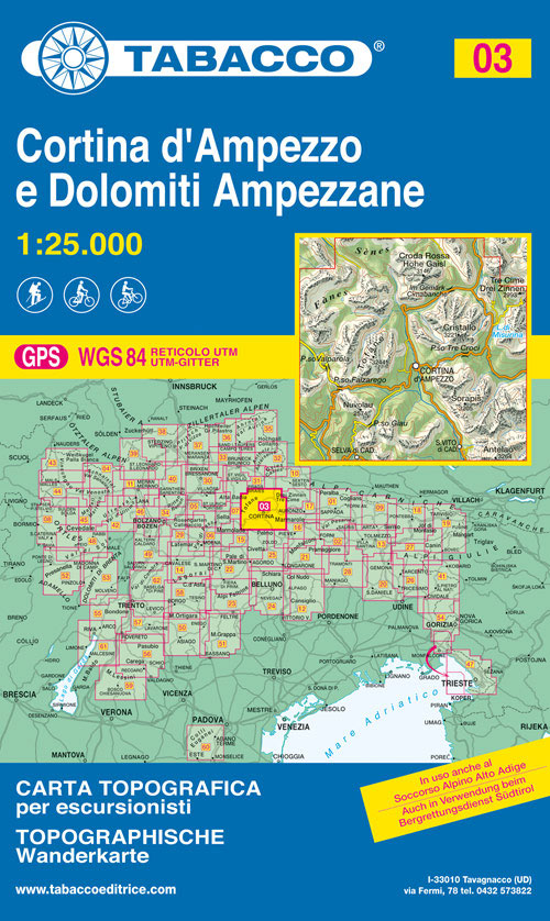
Cortina d`Ampezzo – Dolomiti Ampezzane area in a series of Tabacco maps at 1:25,000 covering the Dolomites and the mountains of north-eastern Italy – Stanfords’ most popular coverage for this region, with excellent cartography and extensive overprint for hiking routes and other recreational activities, local bus stops, etc. Additional overprint in this title shows cycling
Chianti
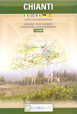
Chianti, the region between Florence and Siena, on a detailed contoured map at 1:50,000 from Litografia Artistica Cartografica, overprinted with numerous hiking routes and highlighting various places of interest. Coverage extends from Tavarnelle Val di Pesa and Poggibonsi in the east to San Giovanni Valdarno and Castelnuovo Berardegna in the west.Topography is shown by contours
Trapani Province

Trapani Province at 1:150,000 in a series of handy size provincial road maps from Litografia Artistica Cartografica (LAC) with more minor local roads and country tracks than can be found on most regional maps from other publishers. This title is now available in a digitally produced edition.LAC’s provincial series is gradually being changed to a
Agrigento
Agrigento, including Villaseta, on an indexed street plan at 1:6,000 from Litografia Artistica Cartografica in their Globalmap imprint. An inset at 1:9.000 extends the coverage south to include the archaeological site of the Valle dei Templi. 59 temples and other buildings or monuments within the city itself are prominently highlighted. Coverage also includes insets for
Verona City and Province
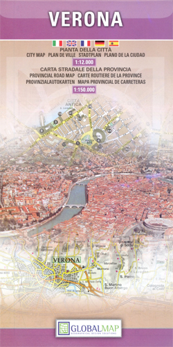
Verona at 1: 12,000 on an indexed street plan from Litografia Artistica Cartografica (LAC) in their Globalmap imprint, with on the reverse a detailed road map of the Verona Province including the whole of Lake Garda. The street plan covers Verona with its outer suburbs, extending south to the A4 motorway linking the city with
San Gimignano and Volterra
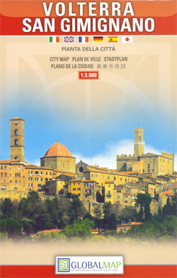
San Gimignano and Volterra, two of Tuscany’s most picturesque and popular tourist destinations, on an indexed street plan from Litografia Artistica Cartografica in their Globalmap imprint, presenting the two towns at 1:2,500 and 1:3,000 respectively.The plans have very clear cartography and large, easy to read print. Main traffic routes to the centre are highlighted, with
Marsala Global Map Street Plan

Marsala on an indexed street plan at 1:6,000 from Litografia Artistica Cartografica in their Global Map edition. 34 monuments including historic buildings and churches, cultural or educational institutions, and important municipal buildings or facilities are numbered and listed next to the plan. An inset covers Isola di San Pantaleo (Mozia) with its the archaeological remains.On


