Category Archives: Maps
Pale di San Martino Tabacco 022
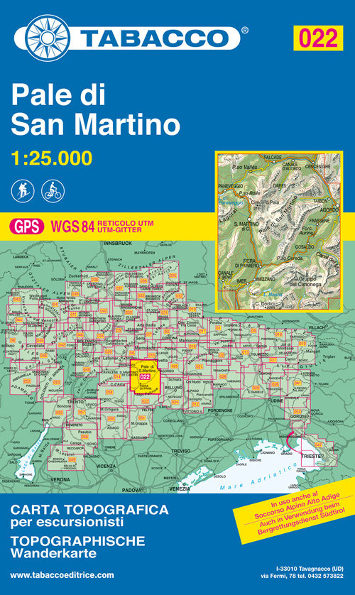
Pale di San Martino area in a series of Tabacco maps at 1:25,000 covering the Dolomites and the mountains of north-eastern Italy – Stanfords’ most popular coverage for this region, with excellent cartography and extensive overprint for hiking routes and other recreational activities, local bus stops, etc. Additional overprint in this title shows cycle and
Monti Sarentini / Sarntaler Alpen Tabacco 040
Monti Sarentini/Sarntaler Alpen area in a series of Tabacco maps at 1:25,000 covering the Dolomites and the mountains of north-eastern Italy – Stanfords’ most popular coverage for this region, with excellent cartography and extensive overprint for hiking routes and other recreational activities, local bus stops, etc. Additional overprint in this title shows cycle and ski
Alpi Feltrine – La Vรจtte – Cimรฒnega Tabacco 023
Alpi Feltrine – La Vรจtte – Cimรฒnega area in a series of Tabacco maps at 1:25,000 covering the Dolomites and the mountains of north-eastern Italy – Stanfords’ most popular coverage for this region, with excellent cartography and extensive overprint for hiking routes and other recreational activities, local bus stops, etc. Additional overprint in this title
Val d`Ultimo / Ultental Tabacco 042
Val d`Ultimo/Ultental del Friuli area in a series of Tabacco maps at 1:25,000 covering the Dolomites and the mountains of north-eastern Italy – Stanfords’ most popular coverage for this region, with excellent cartography and extensive overprint for hiking routes and other recreational activities, local bus stops, etc. Additional overprint in this title shows ski routes.
Prealpi e Dolomiti Bellunesi Tabacco 024
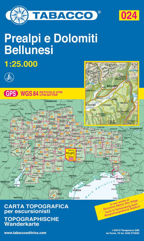
Prealpi e Dolomiti Bellunesi area in a series of Tabacco maps at 1:25,000 covering the Dolomites and the mountains of north-eastern Italy – Stanfords’ most popular coverage for this region, with excellent cartography and extensive overprint for hiking routes and other recreational activities, local bus stops, etc. To see the list of titles in this
Val Venosta / Vinschgau – Sesvenna Tabacco 044
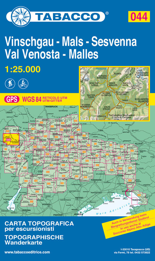
Val Venosta/Vinschgau – Sesvenna area in a series of Tabacco maps at 1:25,000 covering the Dolomites and the mountains of north-eastern Italy – Stanfords’ most popular coverage for this region, with excellent cartography and extensive overprint for hiking routes and other recreational activities, local bus stops, etc. Additional overprint in this title shows cycle and
Dolomiti di Zoldo, Cadorine e Agordine Tabacco 025
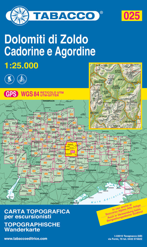
Dolomiti di Zoldo, Cadorine e Agordine area in a series of Tabacco maps at 1:25,000 covering the Dolomites and the mountains of north-eastern Italy – Stanfords’ most popular coverage for this region, with excellent cartography and extensive overprint for hiking routes and other recreational activities, local bus stops, etc. Additional overprint in this title shows
Friuli Venezia Giulia
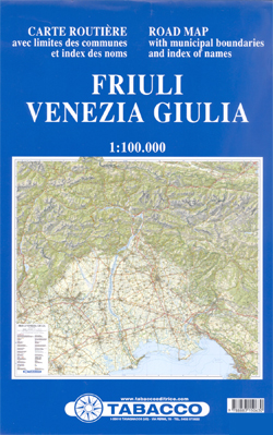
Friuli Venezia Giulia, the north-eastern corner of Italy on a detailed, indexed road map at 1:100,000 from Tabacco with excellent presentation of the topography based on the publishers’ extensive series of hiking maps of the region. The map has contours at 100m intervals enhanced by relief shading, graphic for rock faces and colouring for forested
Prealpi Giulie – Valli del Torre Tabacco 026

Prealpi Giulie – Valli del Torre area in a series of Tabacco maps at 1:25,000 covering the Dolomites and the mountains of north-eastern Italy – Stanfords’ most popular coverage for this region, with excellent cartography and extensive overprint for hiking routes and other recreational activities, local bus stops, etc. Additional overprint in this title shows
Sciliar / Schlern – Catinaccio / Rosengarten – Latemar – Regglberg Tabacco 029
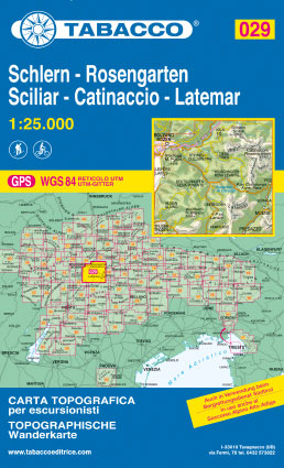
Sciliar/Schlern – Catinaccio/Rosengarten – Latemar ‘“ Regglberg area in a series of Tabacco maps at 1:25,000 covering the Dolomites and the mountains of north-eastern Italy – Stanfords’ most popular coverage for this region, with excellent cartography and extensive overprint for hiking routes and other recreational activities, local bus stops, etc. Additional overprint in this title
Bressanone / Brixen – Val di Funes / Vollnosstal Tabacco 030
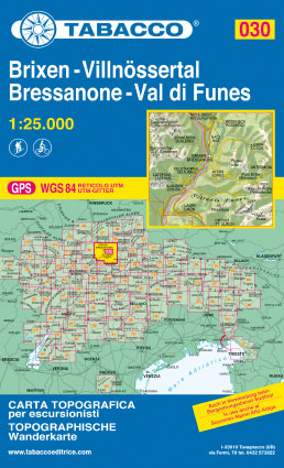
Bressanone/Brixen – Val di Funes/Vollnรถsstal area in a series of Tabacco maps at 1:25,000 covering the Dolomites and the mountains of north-eastern Italy – Stanfords’ most popular coverage for this region, with excellent cartography and extensive overprint for hiking routes and other recreational activities, local bus stops, etc.To see the list of titles in this
Dolomiti di Braies / Pragser Dolomiten – Marebbe / Ennberg Tabacco 031
Dolomiti di Braies/Pragser Dolomiten – Marebbe/Ennberg area in a series of Tabacco maps at 1:25,000 covering the Dolomites and the mountains of north-eastern Italy – Stanfords’ most popular coverage for this region, with excellent cartography and extensive overprint for hiking routes and other recreational activities, local bus stops, etc. Additional overprint in this title shows
Val Anterselva / Antholz – Val Casies / Gsieser Tal Tabacco 032
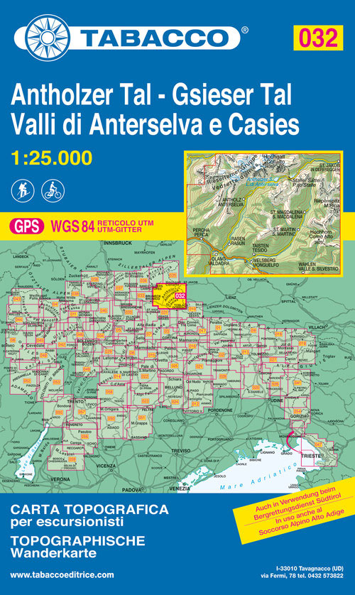
Dolomiti di Braies/Pragser Dolomiten – Marebbe/Ennberg area in a series of Tabacco maps at 1:25,000 covering the Dolomites and the mountains of north-eastern Italy – Stanfords’ most popular coverage for this region, with excellent cartography and extensive overprint for hiking routes and other recreational activities, local bus stops, etc. Additional overprint in this title shows
Val Pusteria / Pustertal – Brunico / Bruneck Tabacco 033
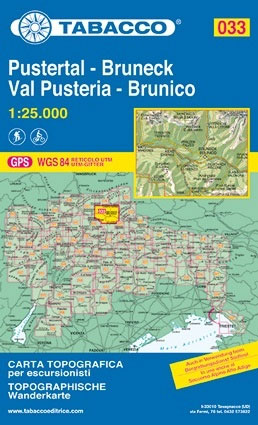
Val Pusteria/Pustertal – Brunico/Bruneck area in a series of Tabacco maps at 1:25,000 covering the Dolomites and the mountains of north-eastern Italy – Stanfords’ most popular coverage for this region, with excellent cartography and extensive overprint for hiking routes and other recreational activities, local bus stops, etc. Additional overprint in this title shows cycle and
Val di Fiemme – Lagorai – Latemar Tabacco 014
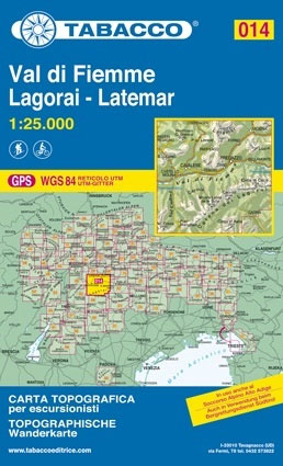
Val di Fiemme – Lagorai ‘“ Latemar area in a series of Tabacco maps at 1:25,000 covering the Dolomites and the mountains of north-eastern Italy – Stanfords’ most popular coverage for this region, with excellent cartography and extensive overprint for hiking routes and other recreational activities, local bus stops, etc. Additional overprint in this title
Marmolada – Pelmo – Civetta – Maiozza Tabacco 015
Marmolada – Pelmo – Civetta ‘“ Maiozza area in a series of Tabacco maps at 1:25,000 covering the Dolomites and the mountains of north-eastern Italy – Stanfords’ most popular coverage for this region, with excellent cartography and extensive overprint for hiking routes and other recreational activities, local bus stops, etc. Additional overprint in this title
Monte Velino – Altopiano delle Rocche – Monti della Duchessa

Abruzzo, Lazio and Molise National Park on a contoured, GPS compatible map at 1:50,000 published by Selca in cooperation with the park authorities, highlighting waymarked hiking trails, accommodation and other places of interest.The map has contours at 50m intervals, enhanced by shading and graphic relief. The overprint highlights hiking routes, indicating their waymarking numbers. Symbols
Dolomiti del Centro Cadore Tabacco 016
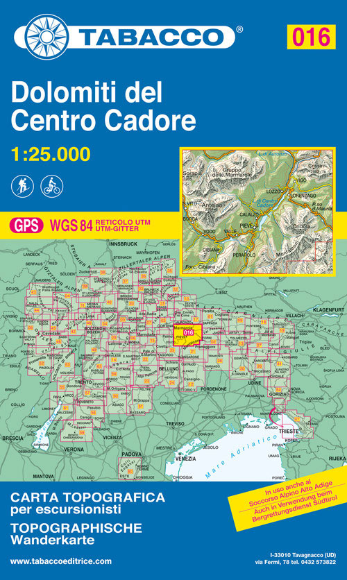
Dolomiti del Centro Cadore area in a series of Tabacco maps at 1:25,000 covering the Dolomites and the mountains of north-eastern Italy – Stanfords’ most popular coverage for this region, with excellent cartography and extensive overprint for hiking routes and other recreational activities, local bus stops, etc. Additional overprint in this title shows cycle and
Parco di Veio
Abruzzo, Lazio and Molise National Park on a contoured, GPS compatible map at 1:50,000 published by Selca in cooperation with the park authorities, highlighting waymarked hiking trails, accommodation and other places of interest.The map has contours at 50m intervals, enhanced by shading and graphic relief. The overprint highlights hiking routes, indicating their waymarking numbers. Symbols
Dolomiti di Auronzo e del Comelico Tabacco 017
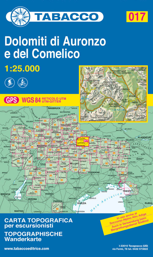
Dolomiti di Auronzo e del Comelico area in a series of Tabacco maps at 1:25,000 covering the Dolomites and the mountains of north-eastern Italy – Stanfords’ most popular coverage for this region, with excellent cartography and extensive overprint for hiking routes and other recreational activities, local bus stops, etc. Additional overprint in this title shows


