Category Archives: Maps
Dolomiti di Brenta Tabacco 053

Dolomiti di Brenta area in a series of Tabacco maps at 1:25,000 covering the Dolomites and the mountains of north-eastern Italy – Stanfords’ most popular coverage for this region, with excellent cartography and extensive overprint for hiking routes and other recreational activities, local bus stops, etc. Additional overprint in this title shows cycle, mountain biking
Collio – Brda – Gorizia Tabacco 054
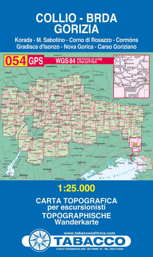
Collio – Brda – Gorizia area in a series of Tabacco maps at 1:25,000 covering the Dolomites and the mountains of north-eastern Italy – Stanfords’ most popular coverage for this region, with excellent cartography and extensive overprint for hiking routes and other recreational activities, local bus stops, etc. To see the list of titles in
Piccole Dolomiti – Pasubio Tabacco 056
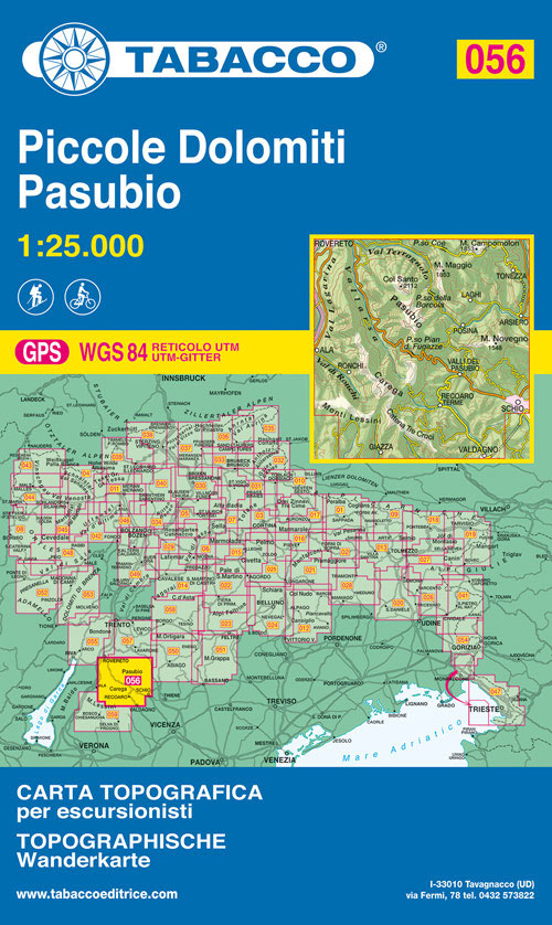
Piccole Dolomiti – Pasubio area in a series of Tabacco maps at 1:25,000 covering the Dolomites and the mountains of north-eastern Italy – Stanfords’ most popular coverage for this region, with excellent cartography and extensive overprint for hiking routes and other recreational activities, local bus stops, etc. Additional overprint in this title shows cycle and
Valle del Sacra ‘“ Arco ‘“ Riva del Garda Tabacco 055
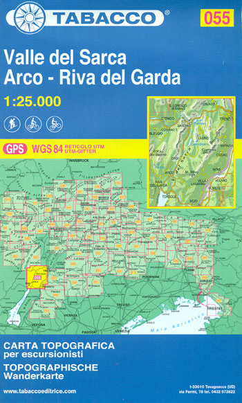
Valle del Sacra ‘“ Arco ‘“ Riva del Garda area in a series of Tabacco maps at 1:25,000 covering the Dolomites and the mountains of north-eastern Italy – Stanfords’ most popular coverage for this region, with excellent cartography and extensive overprint for hiking routes and other recreational activities, local bus stops, etc. Additional overprint in
Monte Lessini – Lessinia Tabacco 059
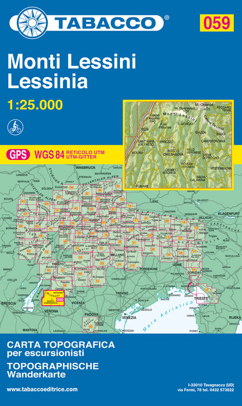
Monte Lessini ‘“ Lessinia area in a series of Tabacco maps at 1:25,000 covering the Dolomites and the mountains of north-eastern Italy – Stanfords’ most popular coverage for this region, with excellent cartography and extensive overprint for hiking routes and other recreational activities, local bus stops, etc. Additional overprint in this title shows cycle routes.
Levico – Altopiani di Folgaria Lavarone e Luserna Tabacco 057

Levico – Altopiani di Folgaria Lavarone e Luserna area in a series of Tabacco maps at 1:25,000 covering the Dolomites and the mountains of north-eastern Italy – Stanfords’ most popular coverage for this region, with excellent cartography and extensive overprint for hiking routes and other recreational activities, local bus stops, etc. Additional overprint in this
Colli Euganei – Abano e Montegrotto Terme Tabacco 060
Colli Euganei – Abano & Montegrotto Terme area in a series of Tabacco maps at 1:25,000 covering the Dolomites and the mountains of north-eastern Italy – Stanfords’ most popular coverage for this region, with excellent cartography and extensive overprint for hiking routes and other recreational activities, local bus stops, etc. Additional overprint in this title
Valsugana – Tesino – Lagorai – Cima d`Asta Tabacco 058

Valsugana – Tesino – Lagorai – Cima d`Asta area in a series of Tabacco maps at 1:25,000 covering the Dolomites and the mountains of north-eastern Italy – Stanfords’ most popular coverage for this region, with excellent cartography and extensive overprint for hiking routes and other recreational activities, local bus stops, etc. Additional overprint in this
Laces / Latsch – Val Martello / Martell – Silandro / Schlanders Tabacco 045
Laces/Latsch – Val Martello/Martell – Silandro/Schlanders area in a series of Tabacco maps at 1:25,000 covering the Dolomites and the mountains of north-eastern Italy – Stanfords’ most popular coverage for this region, with excellent cartography and extensive overprint for hiking routes and other recreational activities, local bus stops, etc. Additional overprint in this title shows
Alto Garda – Ledro – Monte Baldo North Tabacco 061
Valle del Sacra ‘“ Arco ‘“ Riva del Garda area in a series of Tabacco maps at 1:25,000 covering the Dolomites and the mountains of north-eastern Italy – Stanfords’ most popular coverage for this region, with excellent cartography and extensive overprint for hiking routes and other recreational activities, local bus stops, etc. Additional overprint in
Lana – Val d`Adige / Etschtal Tabacco 046
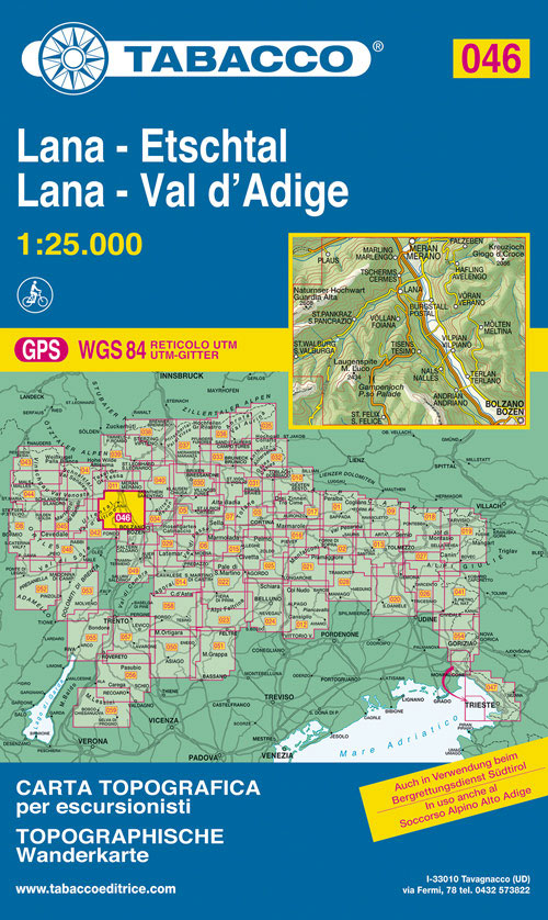
Lana – Val d`Adige/Etschtal area in a series of Tabacco maps at 1:25,000 covering the Dolomites and the mountains of north-eastern Italy – Stanfords’ most popular coverage for this region, with excellent cartography and extensive overprint for hiking routes and other recreational activities, local bus stops, etc. Additional overprint in this title shows cycle routes.
Dolomites ‘“ Lake Garda ‘“ Verona – Venice 200K Tabacco Road & Panorama Map
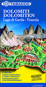
Dolomites ‘“ Lake Garda – Venice region of north-eastern Italy on a road map at 1:200,000 from Tabacco with excellent presentation of the topography derived from the publishers’ highly regarded and popular hiking maps, plus on the reverse a panorama drawing of the mountains. Coverage extends from the Austrian border southwards to the A4 motorway
Carso Triestino e Isontino Tabacco 047
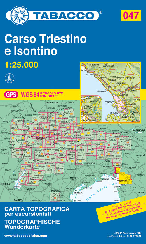
Carso Triestino e Isontino area in a series of Tabacco maps at 1:25,000 covering the Dolomites and the mountains of north-eastern Italy – Stanfords’ most popular coverage for this region, with excellent cartography and extensive overprint for hiking routes and other recreational activities, local bus stops, etc. An inset at 1:12,500 shows the Val Rosandra
Altopiano di Pinรจ – Valli di Cembra e dei Mocheni – Trento Tabacco 062
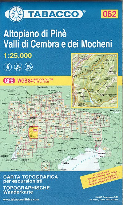
Altopiano di Pinรจ – Val di Cembra ‘“ Val di Mocheni area east and north-east of Trento in a series of Tabacco maps at 1:25,000 covering the Dolomites and the mountains of north-eastern Italy – Stanfords’ most popular coverage for this region, with excellent cartography and extensive overprint for hiking routes and other recreational activities,
Dolomiti di Braies / Pragser Dolomiten – Marebbe / Ennberg Tabacco 031
Dolomiti di Braies/Pragser Dolomiten – Marebbe/Ennberg area in a series of Tabacco maps at 1:25,000 covering the Dolomites and the mountains of north-eastern Italy – Stanfords’ most popular coverage for this region, with excellent cartography and extensive overprint for hiking routes and other recreational activities, local bus stops, etc. Additional overprint in this title shows
Val Anterselva / Antholz – Val Casies / Gsieser Tal Tabacco 032
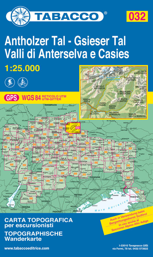
Dolomiti di Braies/Pragser Dolomiten – Marebbe/Ennberg area in a series of Tabacco maps at 1:25,000 covering the Dolomites and the mountains of north-eastern Italy – Stanfords’ most popular coverage for this region, with excellent cartography and extensive overprint for hiking routes and other recreational activities, local bus stops, etc. Additional overprint in this title shows
Val Pusteria / Pustertal – Brunico / Bruneck Tabacco 033
Val Pusteria/Pustertal – Brunico/Bruneck area in a series of Tabacco maps at 1:25,000 covering the Dolomites and the mountains of north-eastern Italy – Stanfords’ most popular coverage for this region, with excellent cartography and extensive overprint for hiking routes and other recreational activities, local bus stops, etc. Additional overprint in this title shows cycle and
Bolzano / Bozen – Renon / Ritten Tabacco 034
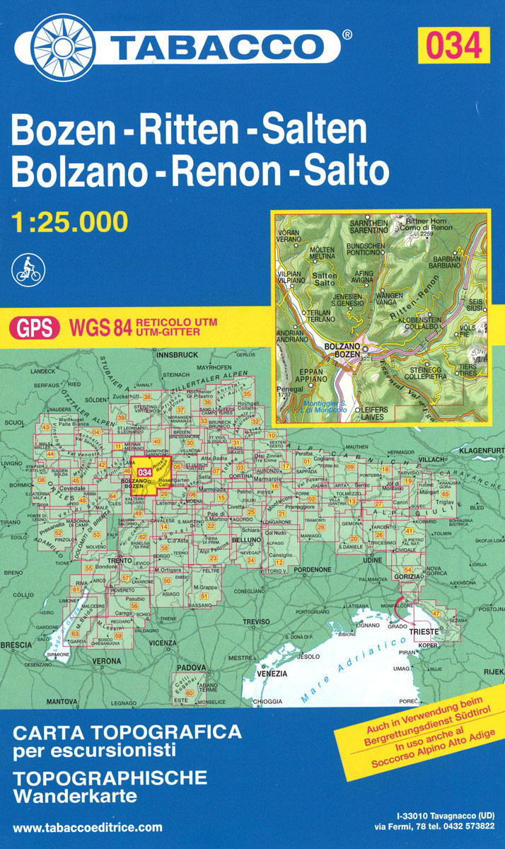
Bolzano/Bozen – Renon/Ritten area in a series of Tabacco maps at 1:25,000 covering the Dolomites and the mountains of north-eastern Italy – Stanfords’ most popular coverage for this region, with excellent cartography and extensive overprint for hiking routes and other recreational activities, local bus stops, etc. Additional overprint in this title shows cycle routes. To
Val Aurina / Ahrntal – Vedrette di Ries / Reiserferner Gruppe Tabacco 035
Val Aurina/Ahrntal – Vedrette di Ries/Reiserferner Gruppe area in a series of Tabacco maps at 1:25,000 covering the Dolomites and the mountains of north-eastern Italy – Stanfords’ most popular coverage for this region, with excellent cartography and extensive overprint for hiking routes and other recreational activities, local bus stops, etc. Additional overprint in this title
Campo Tures / Sand in Taufers Tabacco 036
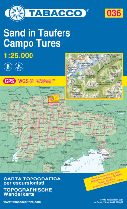
Campo Tures/Sand in Taufers area in a series of Tabacco maps at 1:25,000 covering the Dolomites and the mountains of north-eastern Italy – Stanfords’ most popular coverage for this region, with excellent cartography and extensive overprint for hiking routes and other recreational activities, local bus stops, etc. Additional overprint in this title shows cycle and


