Category Archives: Maps
Prealpi Trevigiane and Bellunesi – M. Cesen – Col Visentin Tabacco 068
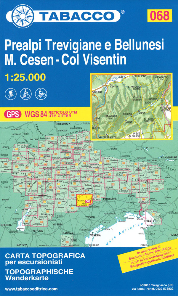
Monte Grappa – Basano – Feltre in a series of Tabacco maps at 1:25,000 covering the Dolomites and the mountains of north-eastern Italy – Stanfords’ most popular coverage for this region, with excellent cartography and extensive overprint for hiking routes and other recreational activities, local bus stops, etc. Additional overprint in this title shows cycle
Parco Naturale Dolomiti Friulane
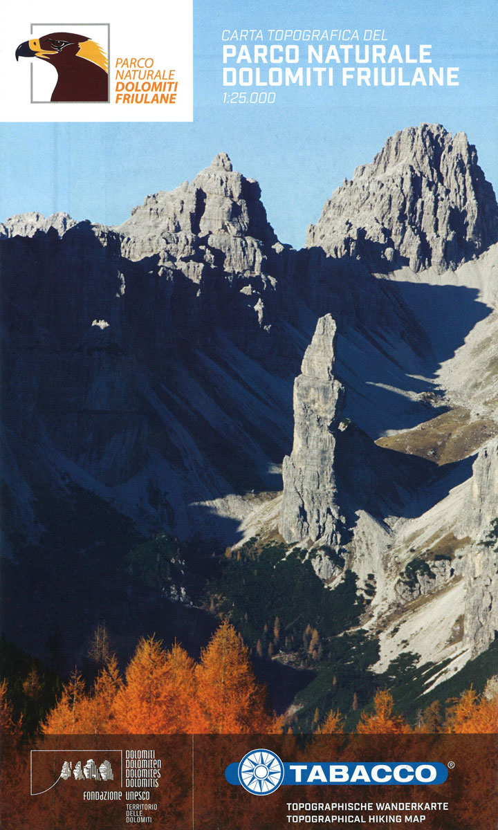
Parco Naturale Dolomiti Friulane double sided hiking map at 1:25,000 scale by Tabacco.The Regional Natural Park of Friulian Dolomites is situated on the mountain range towering over the Western Friulian Plain bordered by the Tagliamento and Piave rivers. It covers 36.950 hectares of the most beautiful land in the whole region. The dolomitic peaks, heritage
Alpago – Cansiglio – Piancavallo – Valcellina Tabacco 012
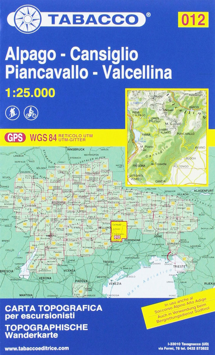
Alpago – Cansiglio – Piancavallo ‘“ Valcellina area in a series of Tabacco maps at 1:25,000 covering the Dolomites and the mountains of north-eastern Italy – Stanfords’ most popular coverage for this region, with excellent cartography and extensive overprint for hiking routes and other recreational activities, local bus stops, etc. Additional overprint in this title
Alpi Giulie Occidentali – Tarvisiano Tabacco 019
Alpi Giulie Occidentali ‘“ Tarvisiano area in a series of Tabacco maps at 1:25,000 covering the Dolomites and the mountains of north-eastern Italy – Stanfords’ most popular coverage for this region, with excellent cartography and extensive overprint for hiking routes and other recreational activities, local bus stops, etc. Additional overprint in this title shows ski
Il Montello – Colli Asolani – Montebelluna – Valdobbiadene Tabacco 070
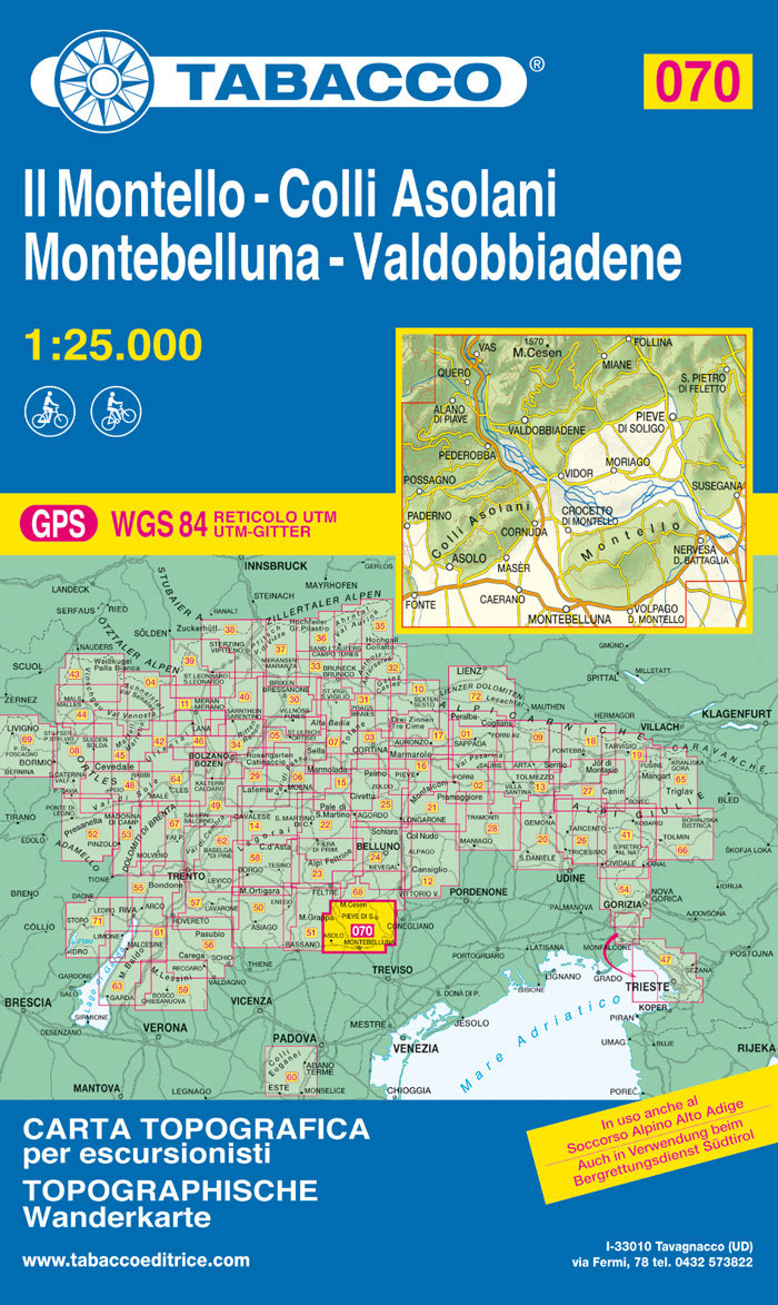
Monte Grappa – Basano – Feltre in a series of Tabacco maps at 1:25,000 covering the Dolomites and the mountains of north-eastern Italy – Stanfords’ most popular coverage for this region, with excellent cartography and extensive overprint for hiking routes and other recreational activities, local bus stops, etc. Additional overprint in this title shows cycle
Val Tramontina – Val Cosa – Val d`Arzino Tabacco 028
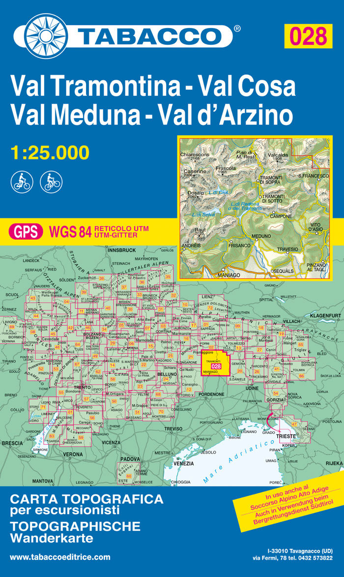
Val Tramontina – Val Cosa – Val d`Arzino area in a series of Tabacco maps at 1:25,000 covering the Dolomites and the mountains of north-eastern Italy – Stanfords’ most popular coverage for this region, with excellent cartography and extensive overprint for hiking routes and other recreational activities, local bus stops, etc. To see the list
Prealpi Gardesane – Tremalzo – Valle di Ledro – L. d`Idro Tabacco 071

Valle del Sacra ‘“ Arco ‘“ Riva del Garda area in a series of Tabacco maps at 1:25,000 covering the Dolomites and the mountains of north-eastern Italy – Stanfords’ most popular coverage for this region, with excellent cartography and extensive overprint for hiking routes and other recreational activities, local bus stops, etc. Additional overprint in
Alpi Carniche Orientali – Canal del Ferro – Nassfeld Tabacco 018
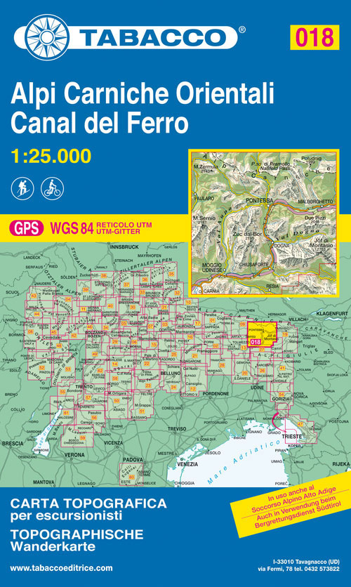
Alpi Carniche Orientali – Canal del Ferro area in a series of Tabacco maps at 1:25,000 covering the Dolomites and the mountains of north-eastern Italy – Stanfords’ most popular coverage for this region, with excellent cartography and extensive overprint for hiking routes and other recreational activities, local bus stops, etc.To see the list of titles
Valli del Natisone – Cividale del Friuli Tabacco 041
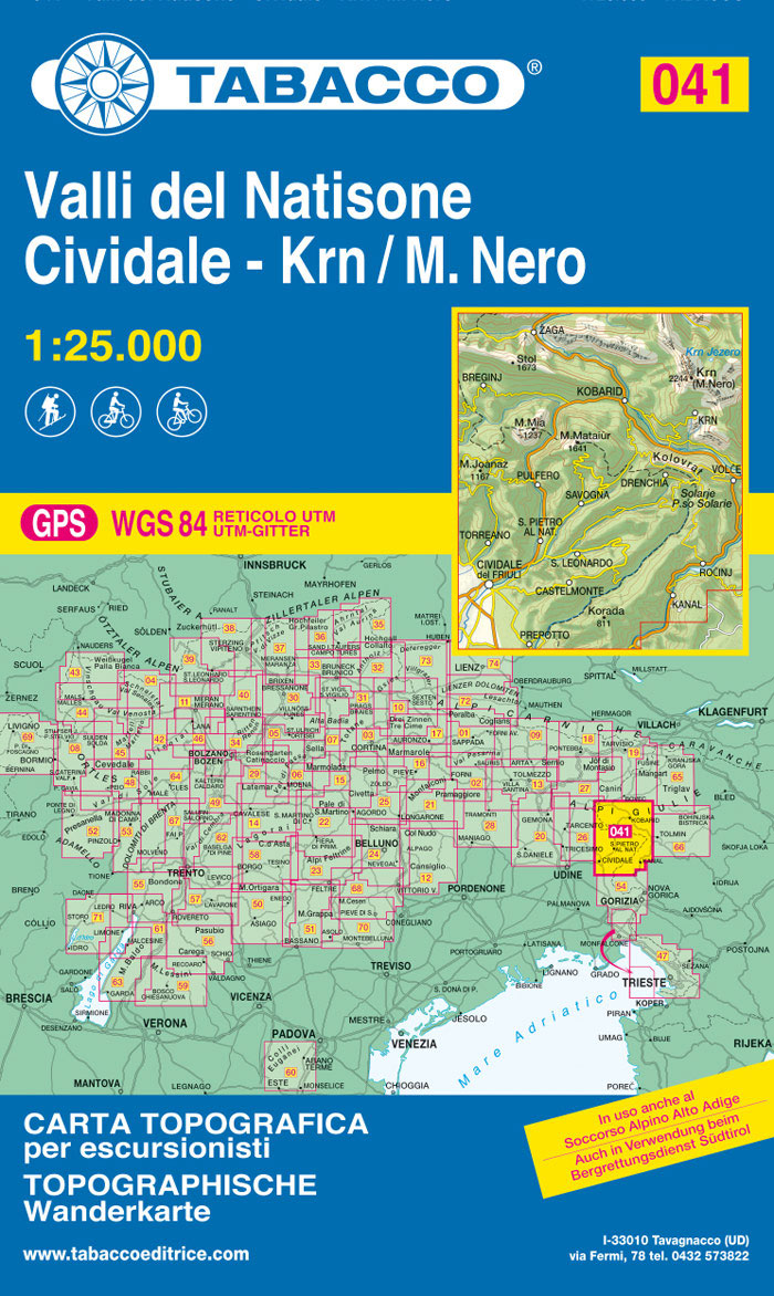
Valli del Natisone – Cividale del Friuli area in a series of Tabacco maps at 1:25,000 covering the Dolomites and the mountains of north-eastern Italy – Stanfords’ most popular coverage for this region, with excellent cartography and extensive overprint for hiking routes and other recreational activities, local bus stops, etc. Additional overprint in this title
Altopiano dei Sette Comuni – Asiago – Ortigara Tabacco 050
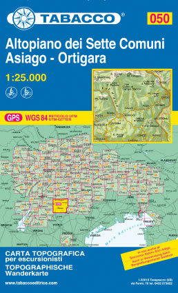
Altopiano dei Sette Comuni – Asiago in a series of Tabacco maps at 1:25,000 covering the Dolomites and the mountains of north-eastern Italy – Stanfords’ most popular coverage for this region, with excellent cartography and extensive overprint for hiking routes and other recreational activities, local bus stops, etc. Additional overprint in this title shows cycle
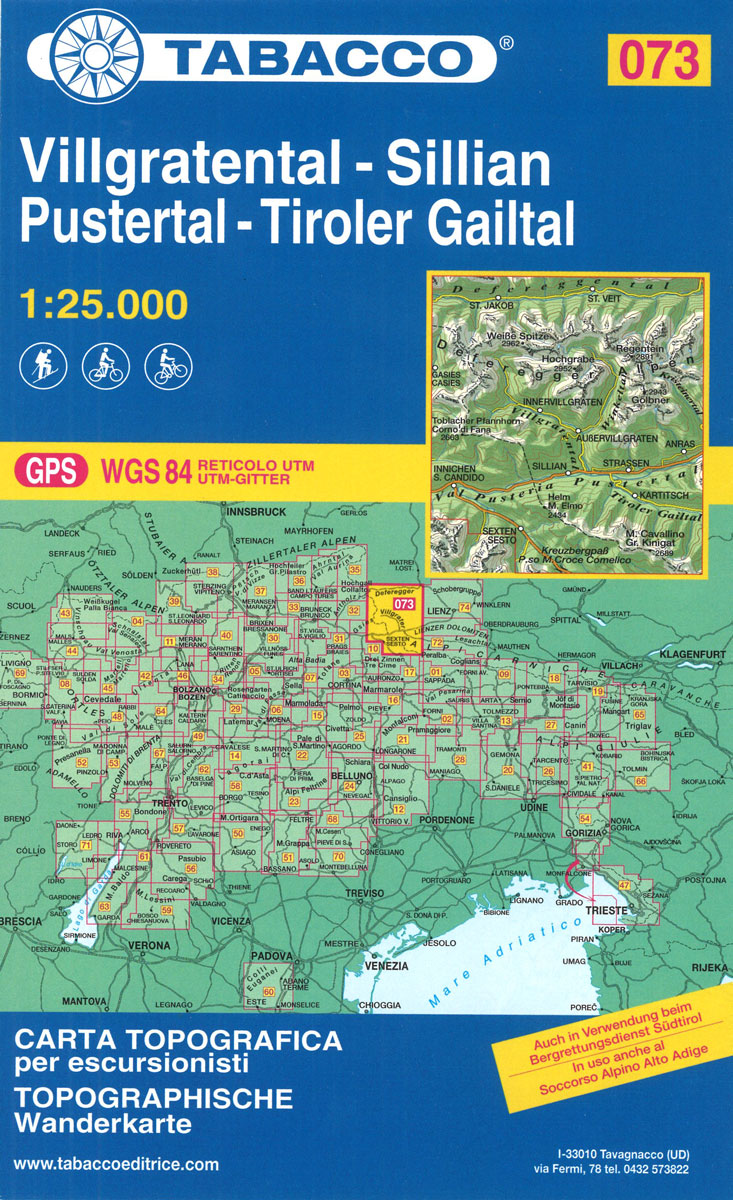
Villgratental – Sillian – Pustertal – Tiroler Gailtal Tabacco 073
Val di Non – Le Maddalene – Cles – Roen – Mendola Tabacco 064
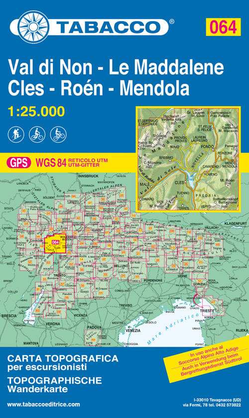
Val di Non Tabacco map at 1:25,000, located in the north of Trentino, covering Le Maddalene, Cles (the main town), Roen and Mendola.Excellent cartography and extensive overprint for hiking routes and other recreational activities, local bus stops, etc. Additional overprint in this title shows cycling and ski routes.Maps in the Tabacco 25K series have contours
Lienz – Schobergruppe – Iseltal – Lienzer Dolomiten Tabacco 074
Strada del Vino / Sudtiroler Weinstrasse Tabacco 049
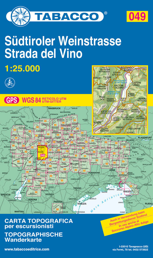
Strada del Vino/Sudtiroler Weinstrasse area in a series of Tabacco maps at 1:25,000 covering the Dolomites and the mountains of north-eastern Italy – Stanfords’ most popular coverage for this region, with excellent cartography and extensive overprint for hiking routes and other recreational activities, local bus stops, etc.To see the list of titles in this series
Monte Grappa – Basano – Feltre Tabacco 051
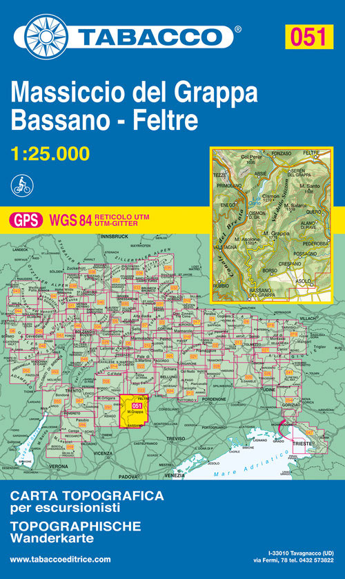
Monte Grappa – Basano – Feltre in a series of Tabacco maps at 1:25,000 covering the Dolomites and the mountains of north-eastern Italy – Stanfords’ most popular coverage for this region, with excellent cartography and extensive overprint for hiking routes and other recreational activities, local bus stops, etc. Additional overprint in this title shows cycle
Adamello – Presanella Tabacco 052
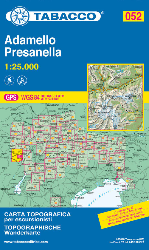
Adamello ‘“ Presanella area in a series of Tabacco maps at 1:25,000 covering the Dolomites and the mountains of north-eastern Italy – Stanfords’ most popular coverage for this region, with excellent cartography and extensive overprint for hiking routes and other recreational activities, local bus stops, etc. Additional overprint in this title shows cycle and ski
Dolomiti di Brenta Tabacco 053

Dolomiti di Brenta area in a series of Tabacco maps at 1:25,000 covering the Dolomites and the mountains of north-eastern Italy – Stanfords’ most popular coverage for this region, with excellent cartography and extensive overprint for hiking routes and other recreational activities, local bus stops, etc. Additional overprint in this title shows cycle, mountain biking
Collio – Brda – Gorizia Tabacco 054
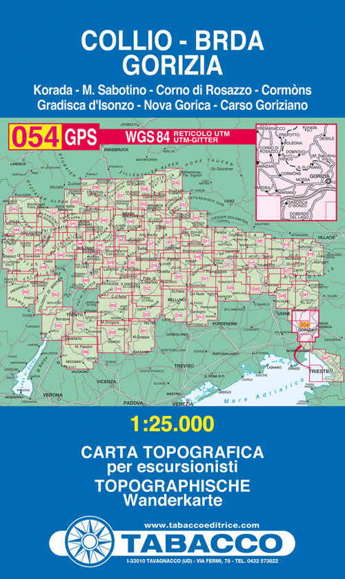
Collio – Brda – Gorizia area in a series of Tabacco maps at 1:25,000 covering the Dolomites and the mountains of north-eastern Italy – Stanfords’ most popular coverage for this region, with excellent cartography and extensive overprint for hiking routes and other recreational activities, local bus stops, etc. To see the list of titles in
Piccole Dolomiti – Pasubio Tabacco 056
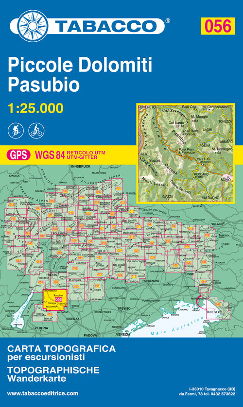
Piccole Dolomiti – Pasubio area in a series of Tabacco maps at 1:25,000 covering the Dolomites and the mountains of north-eastern Italy – Stanfords’ most popular coverage for this region, with excellent cartography and extensive overprint for hiking routes and other recreational activities, local bus stops, etc. Additional overprint in this title shows cycle and


