Category Archives: Maps
Majella 6-Map Set
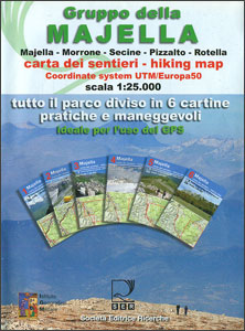
Parco Nazionale della Maiella in the Abruzzo region of Italy presented by Societรก Editrice Ricerche in a set of six handy size, double-sided, contoured and GPS compatible maps at 1:25,000 with cartography of the Italian topographic survey and highlighting for waymarked trails, climbing sites, refuges, etc.Each map measures either 62 or 89cm x 37cm and
Lago d`Orta 30K Zanetti Map No. 52
Lago d’Orta area in the Italian Alps on a contoured map at 1:30,000 in a series from Zanetti Editore highlighting waymarked hiking trails, refuges and places of interest. Maps in this series have contours at 25m with spot heights, shading and colouring for woodlands show the topography. Local footpaths are marked, with an overprint highlighting
Glocknergruppe – Matrei – Kals – Heiligenblut Tabacco 076
This Tabacco topographic map at 1:25,000 (1cm = 250m) covers the Alta Via routes, as well as the Via Ferrata where you get further than the ordinary walker with the help of steel ladders. Additional information includes: symbols to indicate 6 different types of accommodation from mountain hut, hotel to camping site. As well as
Arona 30K Zanetto Map No. 51
Arona area in the Italian Alps on a contoured map at 1:30,000 in a series from Zanetti Editore highlighting waymarked hiking trails, refuges and places of interest. Maps in this series have contours at 25m with spot heights, shading and colouring for woodlands show the topography. Local footpaths are marked, with an overprint highlighting waymarked
Lago Maggiore: Golfo Borromeo 30K Zanetti Map No. 53
Golfo Borromeo area of Lago Maggiore in the Italian Alps on a contoured map at 1:30,000 in a series from Zanetti Editore highlighting waymarked hiking trails, refuges and places of interest. Maps in this series have contours at 25m with spot heights, shading and colouring for woodlands show the topography. Local footpaths are marked, with
Garda Occidentale – Salo – Val Sabbia – Lago d`Idro Tabacco 078
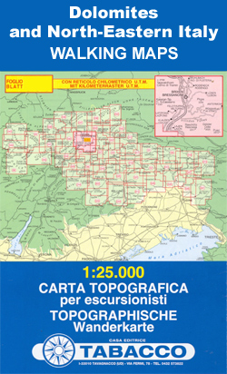
The northern part of Lake Garda and the Monte Baldo area to the east of the lake in a series of Tabacco maps at 1:25,000 covering the Dolomites and the mountains of north-eastern Italy – Stanfords’ most popular coverage for this region, with excellent cartography and extensive overprint for hiking routes and other recreational activities,
Alpe Dรจvero Natural Park 30K Zanetti Map No. 55
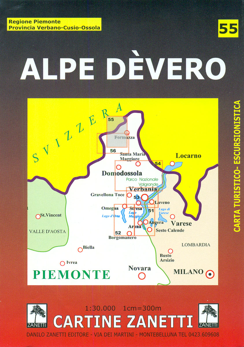
Alpe Dรจvero Natural Park in the Italian Alps on a contoured map at 1:30,000 from Zanetti Editore highlighting waymarked hiking trails, refuges and forest lodges, various recreational possibilities and places of interest, etc. The map has no grid lines or geographical coordinates. Map legend is in Italian only. Maps in this series have contours at
Val Divedro 30K Zanetti Map No. 56
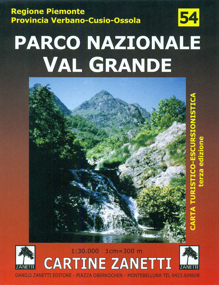
Val Divedro area in the Italian Alps on a contoured map at 1:30,000 in a series from Zanetti Editore highlighting waymarked hiking trails, refuges and places of interest. Maps in this series have contours at 25m with spot heights, shading and colouring for woodlands show the topography. Local footpaths are marked, with an overprint highlighting
Prealpi Carniche – Val Tagliamento Tabacco 013
Prealpi Carniche – Val Tagliamento area in a series of Tabacco maps at 1:25,000 covering the Dolomites and the mountains of north-eastern Italy – Stanfords’ most popular coverage for this region, with excellent cartography and extensive overprint for hiking routes and other recreational activities, local bus stops, etc. Additional overprint in this title shows ski
Monte Baldo ‘“ Malcesine ‘“ Garda Tabacco 063

The northern part of Lake Garda and the Monte Baldo area to the east of the lake in a series of Tabacco maps at 1:25,000 covering the Dolomites and the mountains of north-eastern Italy – Stanfords’ most popular coverage for this region, with excellent cartography and extensive overprint for hiking routes and other recreational activities,
Alta Val Venosta / Vinschgauer Oberland Tabacco 043

Alta Val Venosta/Vinschgauer Oberland area in a series of Tabacco maps at 1:25,000 covering the Dolomites and the mountains of north-eastern Italy – Stanfords’ most popular coverage for this region, with excellent cartography and extensive overprint for hiking routes and other recreational activities, local bus stops, etc. Additional overprint in this title shows cycle and
Alpi Carniche Orientali – Canal del Ferro – Nassfeld Tabacco 018
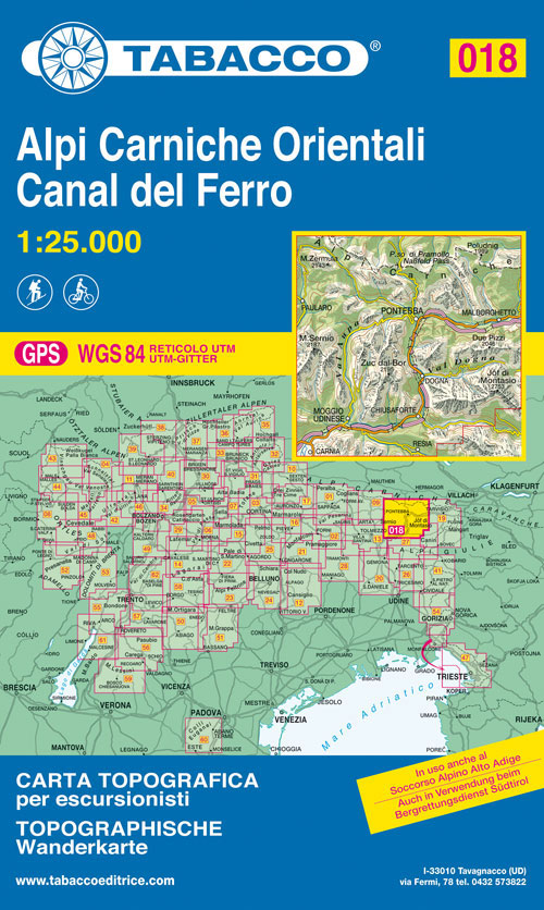
Alpi Carniche Orientali – Canal del Ferro area in a series of Tabacco maps at 1:25,000 covering the Dolomites and the mountains of north-eastern Italy – Stanfords’ most popular coverage for this region, with excellent cartography and extensive overprint for hiking routes and other recreational activities, local bus stops, etc.To see the list of titles
Valli del Natisone – Cividale del Friuli Tabacco 041
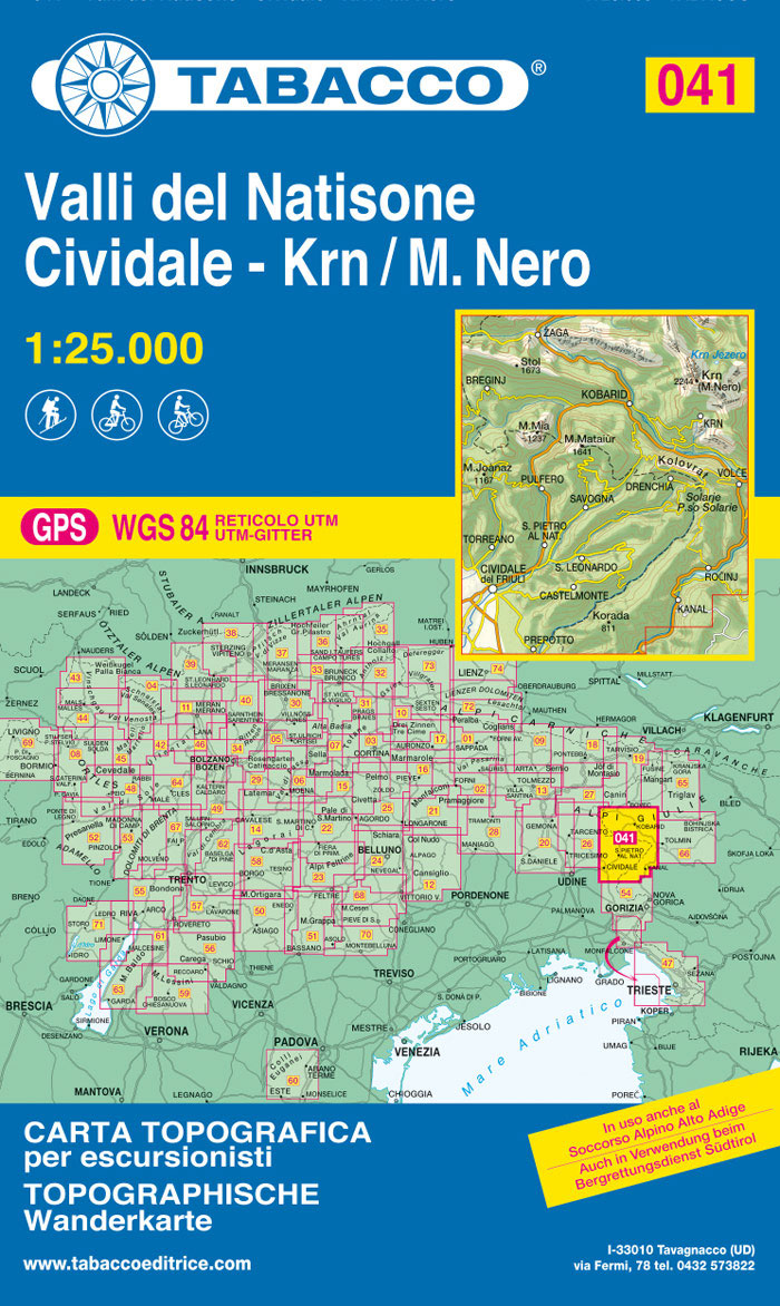
Valli del Natisone – Cividale del Friuli area in a series of Tabacco maps at 1:25,000 covering the Dolomites and the mountains of north-eastern Italy – Stanfords’ most popular coverage for this region, with excellent cartography and extensive overprint for hiking routes and other recreational activities, local bus stops, etc. Additional overprint in this title
Altopiano dei Sette Comuni – Asiago – Ortigara Tabacco 050
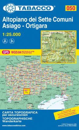
Altopiano dei Sette Comuni – Asiago in a series of Tabacco maps at 1:25,000 covering the Dolomites and the mountains of north-eastern Italy – Stanfords’ most popular coverage for this region, with excellent cartography and extensive overprint for hiking routes and other recreational activities, local bus stops, etc. Additional overprint in this title shows cycle
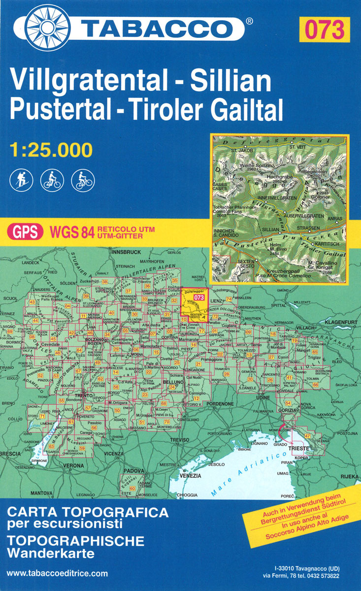
Villgratental – Sillian – Pustertal – Tiroler Gailtal Tabacco 073
Val di Non – Le Maddalene – Cles – Roen – Mendola Tabacco 064
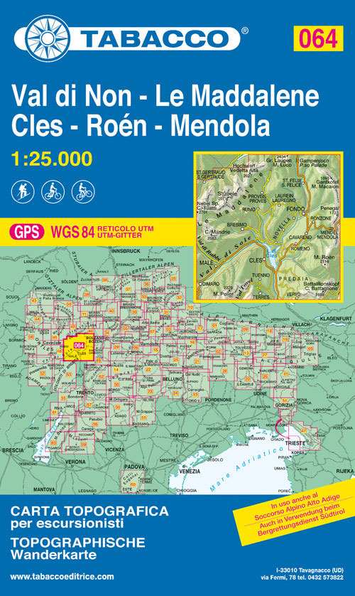
Val di Non Tabacco map at 1:25,000, located in the north of Trentino, covering Le Maddalene, Cles (the main town), Roen and Mendola.Excellent cartography and extensive overprint for hiking routes and other recreational activities, local bus stops, etc. Additional overprint in this title shows cycling and ski routes.Maps in the Tabacco 25K series have contours


