Category Archives: Maps
Val Germanasca – Val Chisone
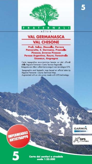
Val Germanasca – Val Chisone area of the Italian Alps presented at 1:25,000 in a series of large, contoured and GPS compatible walking maps from Fraternali Editore, printed on light, waterproof and tear-resistant synthetic paper. Maps in this series have topography shown by contour lines at 5m intervals with relief shading, spot heights, and colouring
Val Soana – Valle di Ribordone – Valle di Locana L`Escursionista Editore 15
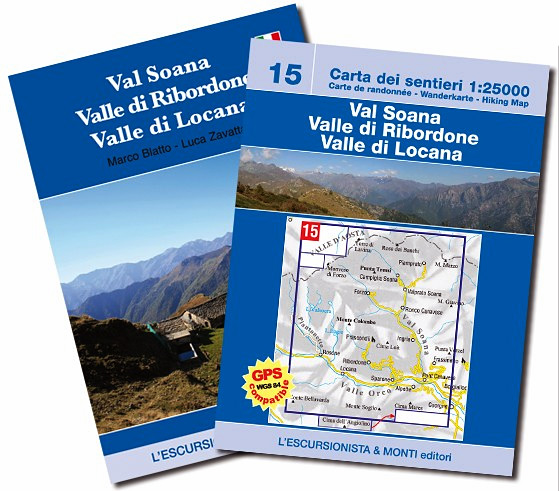
Val Soana – Valle di Ribordone – Valle di Locana, map No. 15, in a series of detailed, GPS compatible hiking maps of the Italian Alps from L’Escursionista Editore, highlighting hiking routes including the Via Ferrata climbing paths, campsites, refuges, shelters, etc. A separate booklet provides a description of a 6-day trekking route. The text
Tour of Saint-Bernard L`Escursionista Editore Map-Guide
Tour of Saint-Bernard long-distance hiking route presented on a waterproof and tear-resistant, contoured and GPS compatible map at 1:25,000 published jointly by L’Escursionista Editore and Editrek, plus a separate multilingual guide booklet with stage by stage descriptions and other tourist information.Contour interval is 25m and the map has additional shading and graphic relief to provide
Tour of the Vallรฉe du Trient L`Escursionista Editore Map-Guide
Tour of the Vallรฉe du Trient long-distance hiking route presented on a waterproof and tear-resistant, contoured and GPS compatible map at 1:25,000 published jointly by L’Escursionista Editore and Editrek, plus a separate multilingual guide booklet with stage by stage descriptions and other tourist information.Contour interval is 25m and the map has additional shading and graphic
Berlin Crumpled City Map
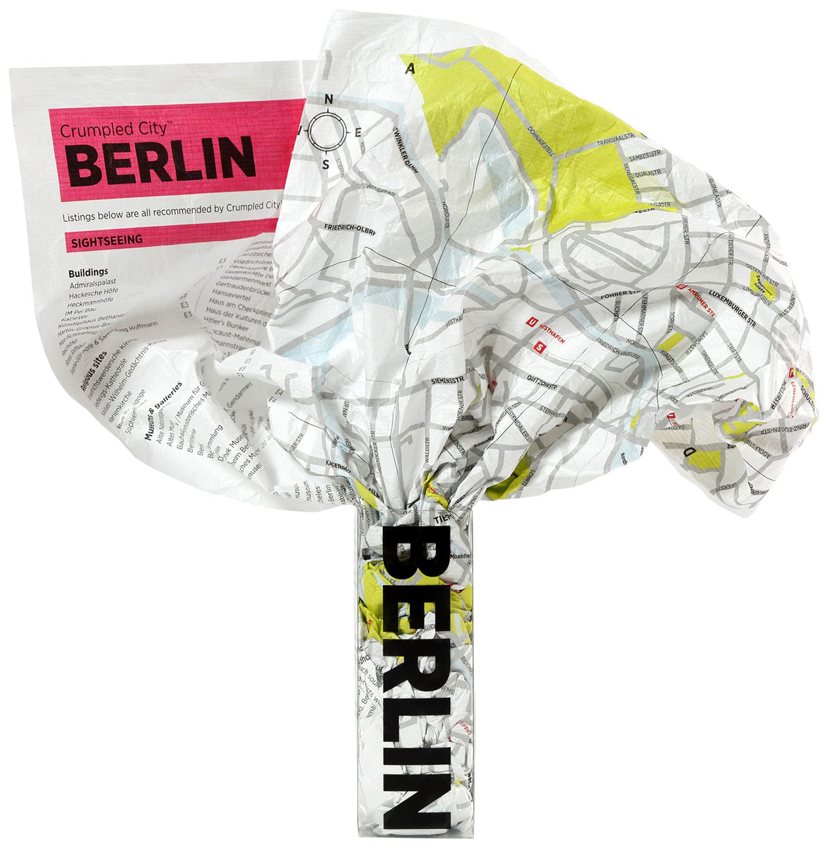
Unlike traditional paper maps the Crumpled City Map of Berlin is novelty map designed specifically to be crammed and scrunched into pockets or backpacks, either on its own or in the carry pouch provided. Produced on special technological material that makes them light (approximately only 20g) and resistant as well as 100% waterproof, creases are
Hamburg Crumpled City Map

Hamburg Crumpled City Map from a collection of street plans of major cities printed on soft, very lightweight (approximately only 20g) and yet extremely tear-resistant and 100% waterproof material, specifically designed to be scrunched and crammed into pockets, handbags and backpacks, either on its own or in the pouch from the same material provided with
Parco Nazionale Val Grande – Lake Maggiore 30K Zanetti Map No. 54
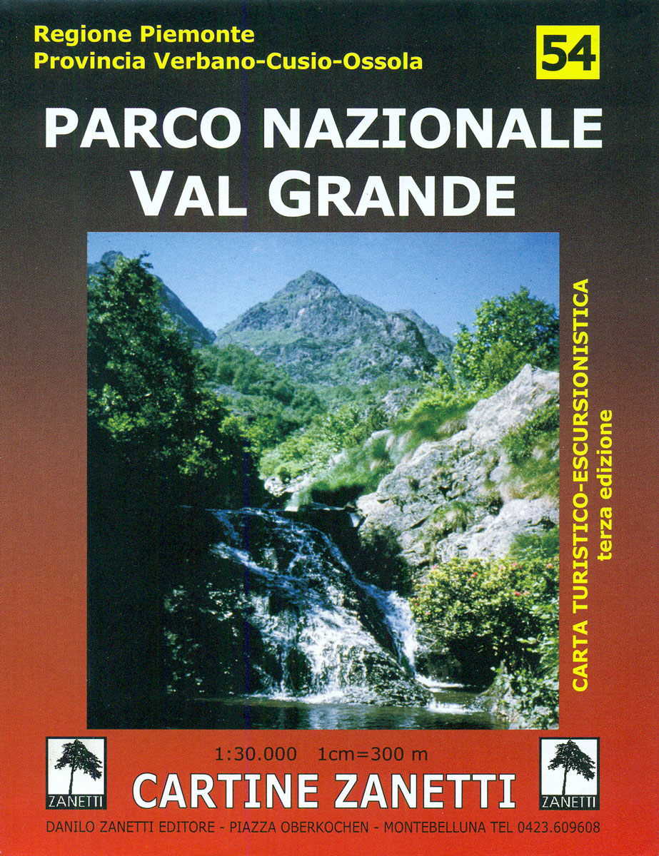
Parco Nazionale Val Grande, including part of the western shore of Lake Maggiore with Cannobio and Cannero Riviera, on a contoured map at 1:30,000 from Zanetti Editore highlighting waymarked hiking trails, refuges, B&Bs and other accommodation options, various recreational possibilities and places of interest, etc. The map has a 1km grid but without any coordinates.
Milan Crumpled City Map
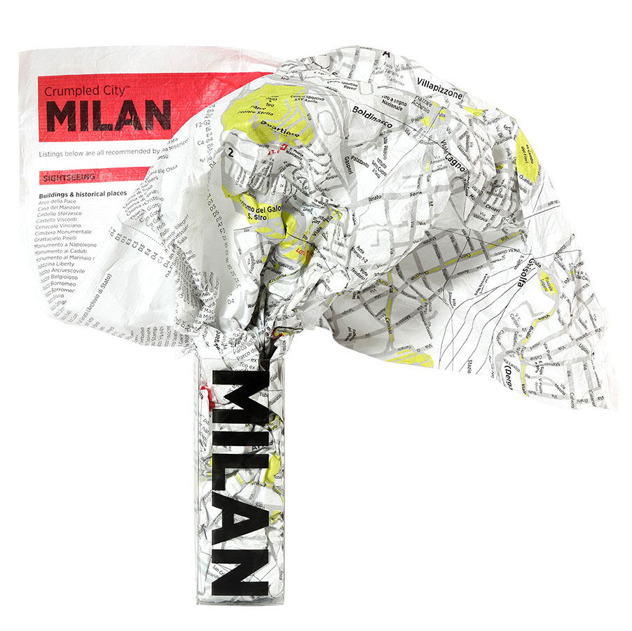
Milan Crumpled City Map from a collection of street plans of major cities printed on soft, very lightweight (approximately only 20g) and yet extremely tear-resistant and 100% waterproof material, specifically designed to be scrunched and crammed into pockets, handbags and backpacks, either on its own or in the pouch from the same material provided with
North Sardinia Climbing Map

Climbing faces in the north-western corner of Sardinia on a double-sided map from Fabula Srl with on one side a road map showing access to various sites and on the reverse drawings of climbing faces with individual routes.On one side is a road map at 1:90,000 covering the north-western part of the island around Sassari,
Tokyo Crumpled City Map
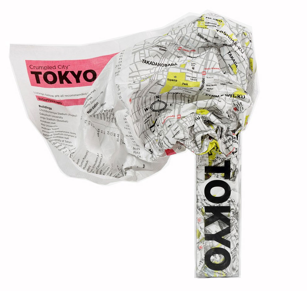
Tokyo Crumpled City Map from a collection of street plans of major cities printed on soft, very lightweight (approximately only 20g) and yet extremely tear-resistant and 100% waterproof material, specifically designed to be scrunched and crammed into pockets, handbags and backpacks, either on its own or in the pouch from the same material provided with
Hong Kong Crumpled City Map

Hong Kong Crumpled City Map from a collection of street plans of major cities printed on soft, very lightweight (approximately only 20g) and yet extremely tear-resistant and 100% waterproof material, specifically designed to be scrunched and crammed into pockets, handbags and backpacks, either on its own or in the pouch from the same material provided
Sydney Crumpled City Map
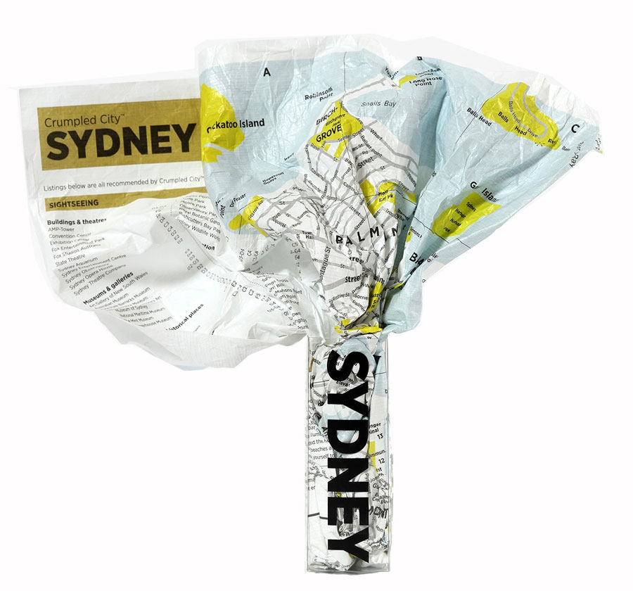
Sydney Crumpled City Map from a collection of street plans of major cities printed on soft, very lightweight (approximately only 20g) and yet extremely tear-resistant and 100% waterproof material, specifically designed to be scrunched and crammed into pockets, handbags and backpacks, either on its own or in the pouch from the same material provided with
Alta Valle del Santerno 23

Map No. 22, Alta Valle del Lamone: Alto Appennino Faentino ‘“ Anello di Marradi, in series of contoured, GPS compatible hiking maps at 1:25,000 from the Istituto Geografico Adriatico, covering mainly the spine of the Apennines along the borders of Tuscany, Emilia-Romagna, Umbria and the Marches.Map in this series have contours at 25m intervals with
Foreste Casentinesi NP Monti Editore 20
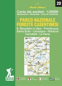
Map No. 20, Foreste Casentinesi: Campigna, Camaldoli, Chiusi dell Verna, in series of contoured, GPS compatible hiking maps at 1:25,000 from the Istituto Geografico Adriatico, covering mainly the spine of the Apennines along the borders of Tuscany, Emilia-Romagna, Umbria and the Marches.Map in this series have contours at 25m intervals with additional shading and numerous
Colline di Forlรญ

Map No. 127, Colline di Forlรญ, in a series of GPS compatible hiking maps at 1:50,000 from the Istituto Geografico Adriatico, covering parts of central Italy: eastern Tuscany, with northern Umbria and the Marches, plus the south-eastern of part of Emilia-Romagna.The maps have contours at 50m intervals with additional shading and numerous spot heights. Colouring
Monti Sibillini National Park 6-Map Set

Monti Sibillini National Park in a 6 sheet set, contoured and GPS compatible map at 1:25,000 published by Societรก Editrice Ricerche. The maps highlight hiking trails, including the Grande Anello dei Monti Sibilini long-distance circuit.Modern cartography from the Italian topographic survey has contours at 20m intervals, relief shading, and colouring for woodlands. Road network indicates


