Category Archives: Maps
Baunei

Sardinia’s eastern coast around and north of the town of Baunei on a detailed, contoured, GPS compatible map at 1:35,000 from Abies Edizioni, with on the reverse notes on the area’s history, heritage and beaches. Contours are at 20m intervals with colouring for different types of vegetation. The map shows local footpaths and hiking trails,
Sardinia`s Trenino Verde Route 1: Arbatax to Ussassai
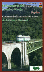
The Arbatax to Ussasai section of Sardinia’s Trenino Verde tourist railway line, run with vintage diesel and steam engines, on a detailed, contoured and GPS compatible map at 1:40,000 from Edizioni Abies. Topography is shown by contours at 20m intervals, with additional colouring for woodlands and maquis (macchia) shrubland. The route of the Trenino Verde
Sardinia`s Trenino Verde Route 2: Ussassai to Nurri
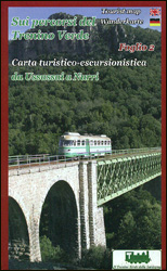
The Ussasai to Nurri section of Sardinia’s Trenino Verde tourist railway line, run with vintage diesel and steam engines, on a detailed, contoured and GPS compatible map at 1:40,000 from Edizioni Abies. Topography is shown by contours at 20m intervals, with additional colouring for woodlands and maquis (macchia) shrubland. The route of the Trenino Verde
Sardinia`s Trenino Verde Route 3: Nurri to Mandas and Gesico to Nurallao
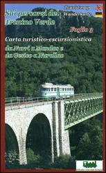
Nurri to Mandas and Gesico to Nurallao sections of Sardinia’s Trenino Verde tourist railway line, run with vintage diesel and steam engines, on a detailed, contoured and GPS compatible map at 1:40,000 from Edizioni Abies. Topography is shown by contours at 20m intervals, with additional colouring for woodlands and maquis (macchia) shrubland. The route of
Tour of the Matterhorn / Cervino L`Escursionista Editore Map-Guide
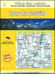
Tour of the Matternhorn (Il Cervino) & Gran Balconata del Cervino long-distance hiking routes presented on a waterproof and tear-restant, double-sided, contoured and GPS compatible map published jointly by L’Escursionista Editore and Editrek, with a separate guide booklet for each route.On one side is a map at 1:50,000 showing the Tour of the Matterhorn (marked
Monte Fumaiolo – Monte Comero 18

Map No. 18, Monte Fumaiolo – Alto Tevere, in series of contoured, GPS compatible hiking maps at 1:25,000 from the Istituto Geografico Adriatico, covering mainly the spine of the Apennines along the borders of Tuscany, Emilia-Romagna, Umbria and the Marches.Map in this series have contours at 25m intervals with additional shading and numerous spot heights.
Bagno di Romagna Monti Editore 19

Map No. 19, Bagno di Romagna, in series of contoured, GPS compatible hiking maps at 1:25,000 from the Istituto Geografico Adriatico, covering mainly the spine of the Apennines along the borders of Tuscany, Emilia-Romagna, Umbria and the Marches.The maps have contours at 25m intervals with additional shading and numerous Map in this series have contours
Colline di Rimini

Map No. 124, Colline di Rimini, in a series of GPS compatible hiking maps at 1:50,000 from the Istituto Geografico Adriatico, covering parts of central Italy: eastern Tuscany, with northern Umbria and the Marches, plus the south-eastern of part of Emilia-Romagna. This title covers the holiday resorts on the Adriatic coast around Rimini, Riccione and
Alpe della Luna 17

Map No. 16, Monte Carpegna – Sasso di Simone, in series of contoured, GPS compatible hiking maps at 1:25,000 from the Istituto Geografico Adriatico, covering mainly the spine of the Apennines along the borders of Tuscany, Emilia-Romagna, Umbria and the Marches.Map in this series have contours at 25m intervals with additional shading and numerous spot
Valsesia – Riva Valdobbia – Campertogno – Mollia – Rassa – Scopelllo
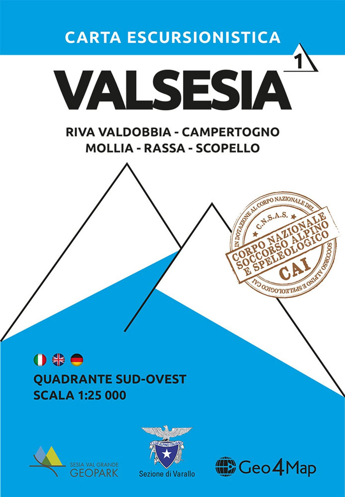
1:25,000 hiking map to the south west of Valsesia including Riva Valdobbia, Campertogno, Mollia, Rassa, Scopelllo.Published in association with the CAI, the Italian Alpine Club, who are responsible for the trails. Trails are marked on the map. The key information and more detailed information on the rear of the sheet are in Italian, German and
Edinburgh Crumpled City Map
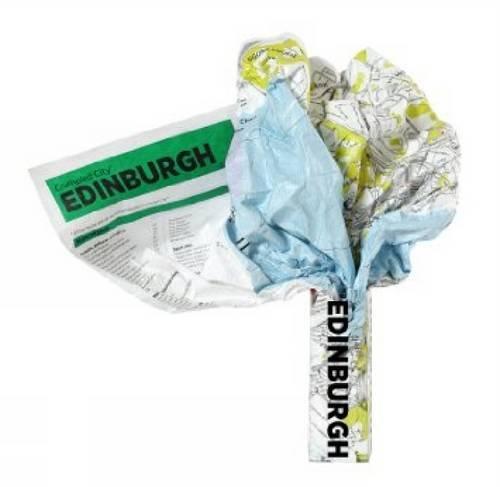
Edinburgh Crumpled City Map from a collection of street plans of major cities printed on soft, very lightweight (approximately only 20g) and yet extremely tear-resistant and 100% waterproof material, specifically designed to be scrunched and crammed into pockets, handbags and backpacks, either on its own or in the pouch from the same material provided with
Valsesia – Varallo – Borgosesia – Monte Fenera – Cellio – Postua Geo4Map 2
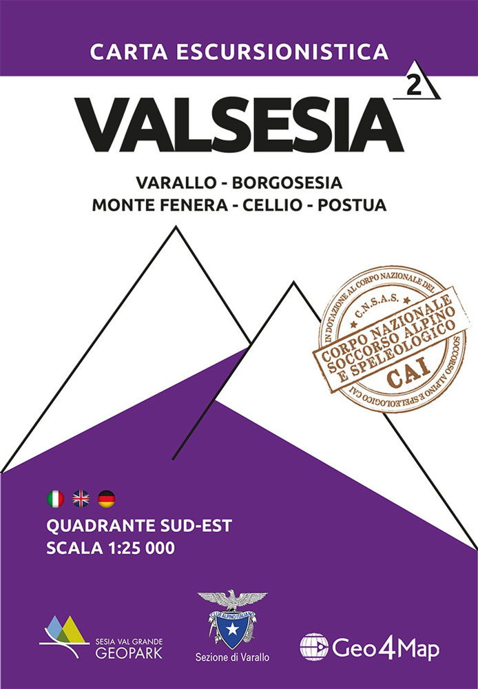
1:25,000 hiking map to the south east of Valsesia centred on Borgosesia, including Varallo, Postua, Cellio and Monte Fenera.Published in association with the CAI, the Italian Alpine Club, who are responsible for the trails. Trails are marked on the map. The key information and more detailed information on the rear of the sheet are in
Stockholm Crumpled City Map
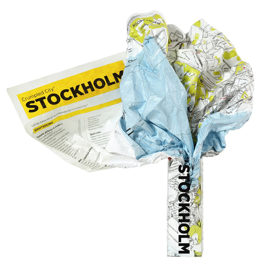
Stockholm Crumpled City Map from a collection of street plans of major cities printed on soft, very lightweight (approximately only 20g) and yet extremely tear-resistant and 100% waterproof material, specifically designed to be scrunched and crammed into pockets, handbags and backpacks, either on its own or in the pouch from the same material provided with
Asinara (Sardinia)
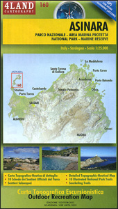
The island of Asinara of the north-western coast of Sardinia, a national park and a marine reserve, presented on a detailed, contoured and GPS compatible map at 1:25,000 from 4Land Cartography, with on reverse extracts highlighting 10 recommended walks. On one side is a map of the whole island, vividly presenting its topography by contours
Alpi Apuane – Versilia – Garfagnana 4Land Cartography
Apuan Alps on a large, double-sided, contoured and GPS compatible map at 1:25,000 from 4Land Cartography, with excellent presentation of the topography and printed on light, waterproof and tear-resistant synthetic paper. Coverage extends from Forte dei Marmi in the south-western corner of the map eastwards and northwards to cover the most popular hiking areas of
Alta Valle Susa – Alta Val Chisone Fraternali Editore 02
Alta Val Chisone in the Italian Alps presented at 1:25,000 in a series of large, contoured and GPS compatible walking maps from Fraternali Editore, printed on light, waterproof and tear-resistant synthetic paper. Maps in this series have topography shown by contour lines at 5m intervals with relief shading, spot heights, and colouring and/or graphics for
Val Pellice
Val Pellice area of the Italian Alps presented at 1:25,000 in a series of large, contoured and GPS compatible walking maps from Fraternali Editore, printed on light, waterproof and tear-resistant synthetic paper. Maps in this series have topography shown by contour lines at 5m intervals with relief shading, spot heights, and colouring and/or graphics for
Val Germanasca – Val Chisone
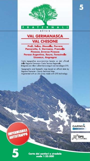
Val Germanasca – Val Chisone area of the Italian Alps presented at 1:25,000 in a series of large, contoured and GPS compatible walking maps from Fraternali Editore, printed on light, waterproof and tear-resistant synthetic paper. Maps in this series have topography shown by contour lines at 5m intervals with relief shading, spot heights, and colouring
Val Soana – Valle di Ribordone – Valle di Locana L`Escursionista Editore 15
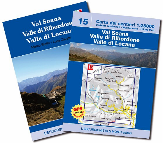
Val Soana – Valle di Ribordone – Valle di Locana, map No. 15, in a series of detailed, GPS compatible hiking maps of the Italian Alps from L’Escursionista Editore, highlighting hiking routes including the Via Ferrata climbing paths, campsites, refuges, shelters, etc. A separate booklet provides a description of a 6-day trekking route. The text


