Category Archives: Maps
Gemona – Tolmezzo
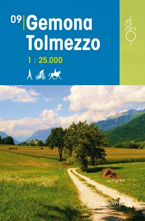
This series of Odos cycling maps are at a scale of 1:35,000 and have prominently marked out cycling routes that are differentiated into different types of cycle situation and terrain. Ideal for planning suitable routes and knowing which routes to avoid whether you are on a mountain bike or road bike. These maps are also
Maniago – Spilimbergo
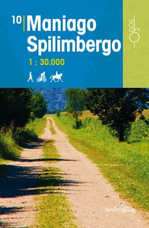
This series of Odos cycling maps are at a scale of 1:35,000 and have prominently marked out cycling routes that are differentiated into different types of cycle situation and terrain. Ideal for planning suitable routes and knowing which routes to avoid whether you are on a mountain bike or road bike. These maps are also
Pordenone tra Livenza e Cellina

This series of Odos cycling maps are at a scale of 1:35,000 and have prominently marked out cycling routes that are differentiated into different types of cycle situation and terrain. Ideal for planning suitable routes and knowing which routes to avoid whether you are on a mountain bike or road bike. These maps are also
Pordenone – Portogruaro
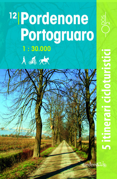
This series of Odos cycling maps are at a scale of 1:35,000 and have prominently marked out cycling routes that are differentiated into different types of cycle situation and terrain. Ideal for planning suitable routes and knowing which routes to avoid whether you are on a mountain bike or road bike. These maps are also
Val Vigezzo 30K Zanetti Map No. 57
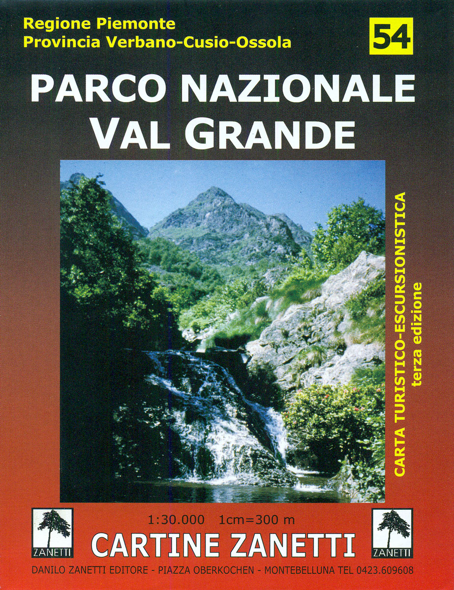
Val Vigezzo area in the Italian Alps on a contoured map at 1:30,000 in a series from Zanetti Editore highlighting waymarked hiking trails, refuges and places of interest. Maps in this series have contours at 25m with spot heights, shading and colouring for woodlands show the topography. Local footpaths are marked, with an overprint highlighting
Lignano – Bibione
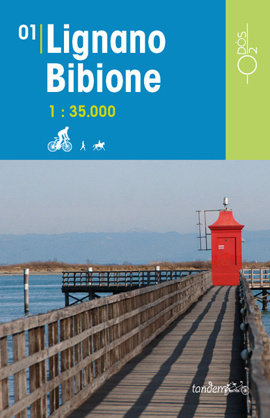
This series of Odos cycling maps are at a scale of 1:35,000 and have prominently marked out cycling routes that are differentiated into different types of cycle situation and terrain. Ideal for planning suitable routes and knowing which routes to avoid whether you are on a mountain bike or road bike. These maps are also
Val Formazza Pomattertal 30K Zanetti Map No. 59
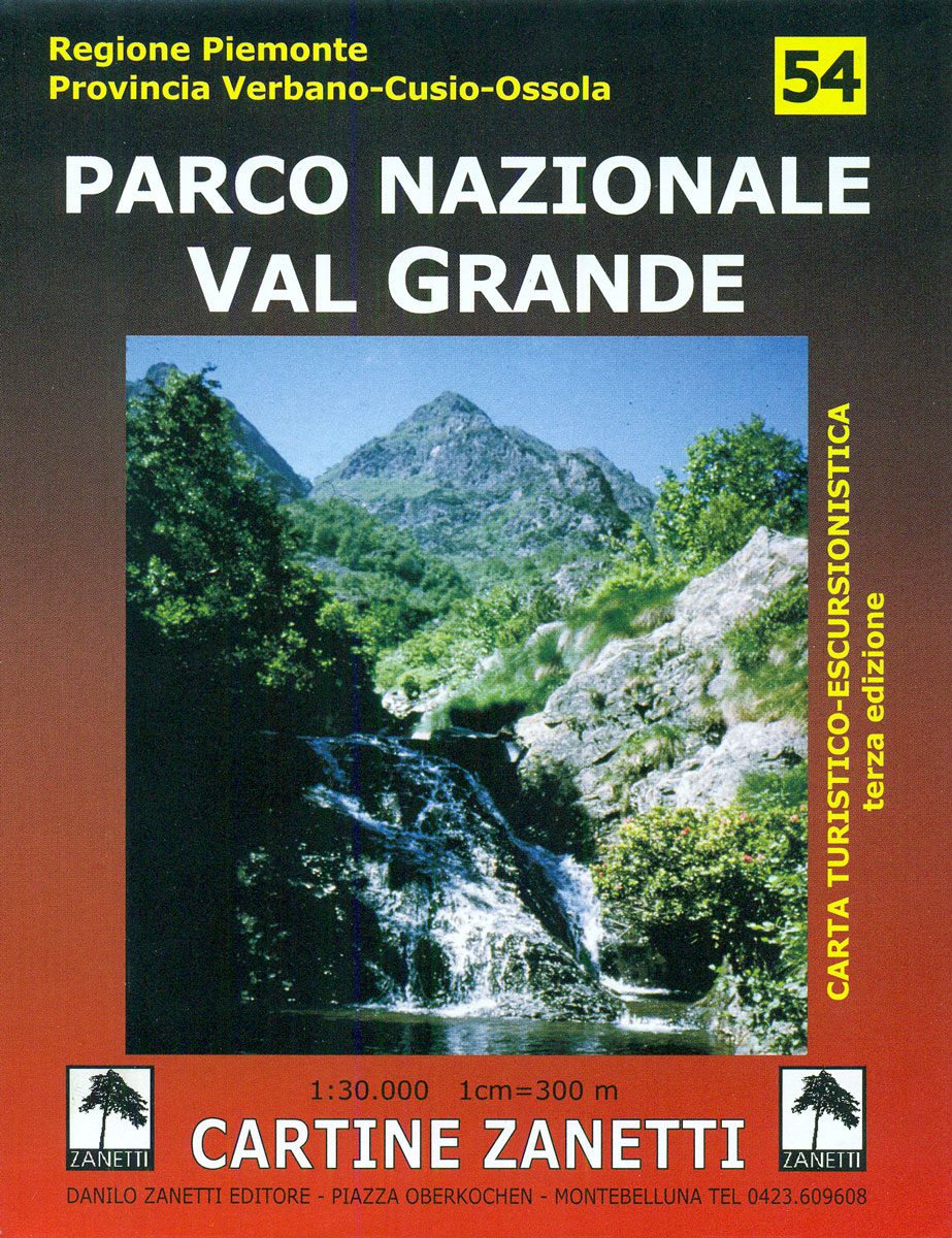
Val Formazza Pomattertal area in the Italian Alps on a contoured map at 1:30,000 in a series from Zanetti Editore highlighting waymarked hiking trails, refuges and places of interest. Maps in this series have contours at 25m with spot heights, shading and colouring for woodlands show the topography. Local footpaths are marked, with an overprint
Grado – Trieste
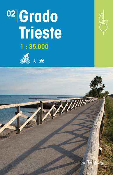
This series of Odos cycling maps are at a scale of 1:35,000 and have prominently marked out cycling routes that are differentiated into different types of cycle situation and terrain. Ideal for planning suitable routes and knowing which routes to avoid whether you are on a mountain bike or road bike. These maps are also
Valle Anzasca Est 30K Zanetti Map No. 60

Valle Anzasca Est area in the Italian Alps on a contoured map at 1:30,000 in a series from Zanetti Editore highlighting waymarked hiking trails, refuges and places of interest. Maps in this series have contours at 25m with spot heights, shading and colouring for woodlands show the topography. Local footpaths are marked, with an overprint
Caorle – Jesolo
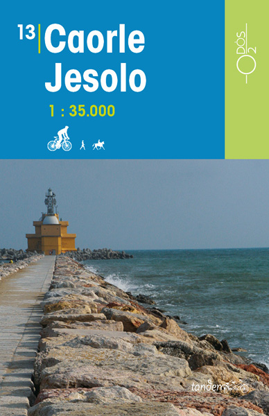
This series of Odos cycling maps are at a scale of 1:35,000 and have prominently marked out cycling routes that are differentiated into different types of cycle situation and terrain. Ideal for planning suitable routes and knowing which routes to avoid whether you are on a mountain bike or road bike. These maps are also
Valle Anzasca Ovest 30K Zanetti Map No. 61

Valle Anzasca Ovest area in the Italian Alps on a contoured map at 1:30,000 in a series from Zanetti Editore highlighting waymarked hiking trails, refuges and places of interest. Maps in this series have contours at 25m with spot heights, shading and colouring for woodlands show the topography. Local footpaths are marked, with an overprint
Conegliano Alto Trevigliano
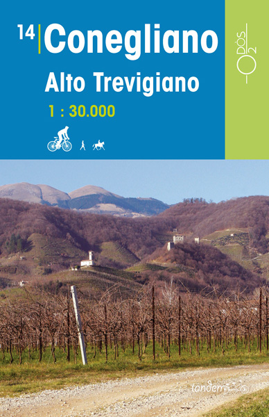
This series of Odos cycling maps are at a scale of 1:35,000 and have prominently marked out cycling routes that are differentiated into different types of cycle situation and terrain. Ideal for planning suitable routes and knowing which routes to avoid whether you are on a mountain bike or road bike. These maps are also
Valle Antrona 30K Zanetti Map No. 62

Valle Antrona area in the Italian Alps on a contoured map at 1:30,000 in a series from Zanetti Editore highlighting waymarked hiking trails, refuges and places of interest. Maps in this series have contours at 25m with spot heights, shading and colouring for woodlands show the topography. Local footpaths are marked, with an overprint highlighting
Valle Bognanco 30K Zanetti Map No.63

Valle Bognanco area in the Italian Alps on a contoured map at 1:30,000 in a series from Zanetti Editore highlighting waymarked hiking trails, refuges and places of interest. Maps in this series have contours at 25m with spot heights, shading and colouring for woodlands show the topography. Local footpaths are marked, with an overprint highlighting
Terre di Risorgive
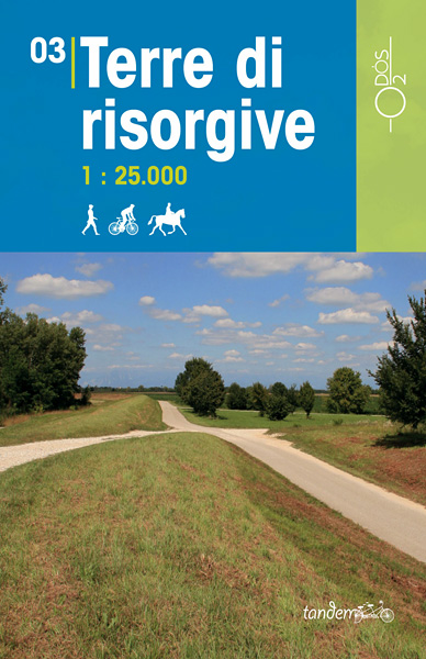
This series of Odos cycling maps are at a scale of 1:35,000 and have prominently marked out cycling routes that are differentiated into different types of cycle situation and terrain. Ideal for planning suitable routes and knowing which routes to avoid whether you are on a mountain bike or road bike. These maps are also
Bagno di Romagna Monti Editore 19

Map No. 19, Bagno di Romagna, in series of contoured, GPS compatible hiking maps at 1:25,000 from the Istituto Geografico Adriatico, covering mainly the spine of the Apennines along the borders of Tuscany, Emilia-Romagna, Umbria and the Marches.The maps have contours at 25m intervals with additional shading and numerous Map in this series have contours
Colline di Rimini

Map No. 124, Colline di Rimini, in a series of GPS compatible hiking maps at 1:50,000 from the Istituto Geografico Adriatico, covering parts of central Italy: eastern Tuscany, with northern Umbria and the Marches, plus the south-eastern of part of Emilia-Romagna. This title covers the holiday resorts on the Adriatic coast around Rimini, Riccione and
Alpe della Luna 17

Map No. 16, Monte Carpegna – Sasso di Simone, in series of contoured, GPS compatible hiking maps at 1:25,000 from the Istituto Geografico Adriatico, covering mainly the spine of the Apennines along the borders of Tuscany, Emilia-Romagna, Umbria and the Marches.Map in this series have contours at 25m intervals with additional shading and numerous spot
Valsesia – Riva Valdobbia – Campertogno – Mollia – Rassa – Scopelllo
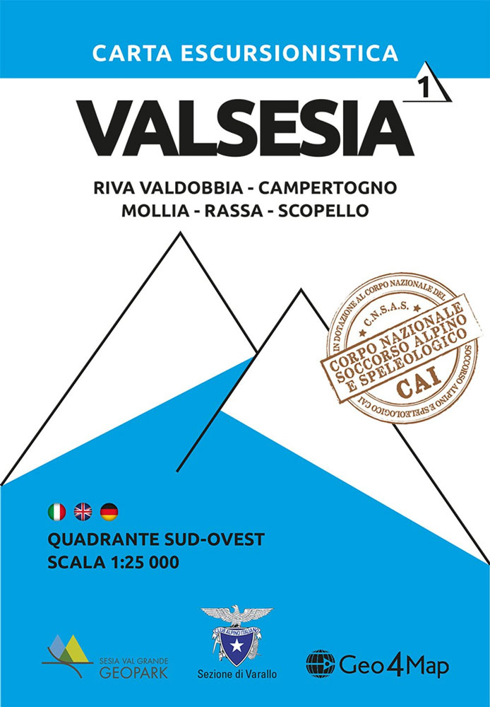
1:25,000 hiking map to the south west of Valsesia including Riva Valdobbia, Campertogno, Mollia, Rassa, Scopelllo.Published in association with the CAI, the Italian Alpine Club, who are responsible for the trails. Trails are marked on the map. The key information and more detailed information on the rear of the sheet are in Italian, German and
Edinburgh Crumpled City Map

Edinburgh Crumpled City Map from a collection of street plans of major cities printed on soft, very lightweight (approximately only 20g) and yet extremely tear-resistant and 100% waterproof material, specifically designed to be scrunched and crammed into pockets, handbags and backpacks, either on its own or in the pouch from the same material provided with


