Category Archives: Maps
Matterhorn / M. Cervino – Monte Rosa IGC 5

The Italian side of the Matterhorn and Monte Rosa, with coverage extending from Zermatt to Aosta, in a series contoured hiking maps at 1:50,000 with local trails, long-distance footpaths, mountain accommodation, etc. from the Turin based Istituto Geografico Centrale. Maps in this series have contours at 50m intervals, enhanced by shading and graphic relief. An
Maira, Grana and Stura Valleys IGC 7
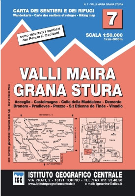
Maira, Grana and Stura Valleys in a series contoured hiking maps at 1:50,000 with local trails, long-distance footpaths, mountain accommodation, etc. from the Turin based Istituto Geografico Centrale.Maps in this series have contours at 50m intervals, enhanced by shading and graphic relief. An overprint highlights local footpaths and long-distance routes, including the GTA (Grande Traversata
Ivrea – Biela – Lower Aosta Valley 50K IGC Map No. 9
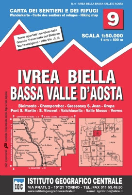
Ivrea – Biela – Lower Aosta Valley area in a series contoured hiking maps at 1:50,000 with local trails, long-distance footpaths, mountain accommodation, etc. from the Turin based Istituto Geografico Centrale. Maps in this series have contours at 50m intervals, enhanced by shading and graphic relief. An overprint highlights local footpaths and long-distance routes, including
Monte Rosa – Alagna – Macugnaga 50K IGC Map No. 10
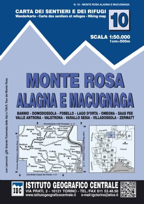
Monte Rosa – Alagna – Macugnaga in a series contoured hiking maps at 1:50,000 with local trails, long-distance footpaths, mountain accommodation, etc. from the Turin based Istituto Geografico Centrale.Maps in this series have contours at 50m intervals, enhanced by shading and graphic relief. An overprint highlights local footpaths and long-distance routes, including the GTA (Grande
Genoa – Varazze – Ovada 50K IGC Map No. 16
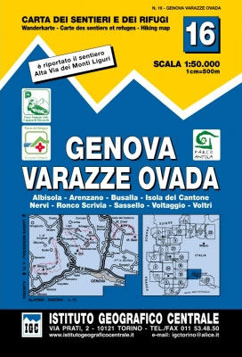
The coast of the Italian Riviera and its hinterland around Genoa in a series contoured hiking maps at 1:50,000 with local trails, long-distance footpaths, mountain accommodation, etc. from the Turin based Istituto Geografico Centrale.Maps in this series have contours at 50m intervals, enhanced by shading and graphic relief. An overprint highlights local footpaths and long-distance
Turin – Pinerolo – Lower Susa Valley 50K IGC Map No. 17
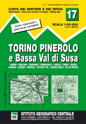
Turin – Pinerolo – Lower Susa Valley area of Piedmont in a series contoured hiking maps at 1:50,000 with local trails, long-distance footpaths, mountain accommodation, etc. from the Turin based Istituto Geografico Centrale.Maps in this series have contours at 50m intervals, enhanced by shading and graphic relief. An overprint highlights local footpaths and long-distance routes,
Il Monferrato: Asti – Casale Monferrato 50K IGC Map No. 20
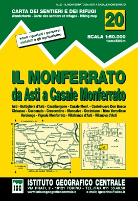
The Monferrato region of Piedmont east of Turin, between Asti and Casale Monferrato, in a series contoured hiking maps at 1:50,000 with local trails, long-distance footpaths, mountain accommodation, etc. from the Turin based Istituto Geografico Centrale. This title also shows local cycle routes.Maps in this series have contours at 50m intervals, enhanced by shading and
Il Canavese: Ivrea to Chiavasso 50K IGC Map No. 21
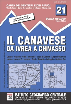
Il Canavesea area including Ivrea and Chiavasso in a series contoured hiking maps at 1:50,000 with local trails, long-distance footpaths, mountain accommodation, etc. from the Turin based Istituto Geografico Centrale. This title also shows cycle routes.Maps in this series have contours at 50m intervals, enhanced by shading and graphic relief. An overprint highlights local footpaths
Val Brembana – Valsassina – Le Grigne: Lecco – Bergamo 50K IGC Map No. 22
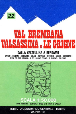
Val Brembana – Valsassina – Le Grigne area including Lecco and Bergamo in a series contoured hiking maps at 1:50,000 with local trails, long-distance footpaths, mountain accommodation, etc. from the Turin based Istituto Geografico Centrale.Maps in this series have contours at 50m intervals, enhanced by shading and graphic relief. An overprint highlights local footpaths and
Cinque Terre – Golfo del Tigullio: La Spezia – Sestri Levante – Rapallo – Genoa 50K IGC Map No. 23
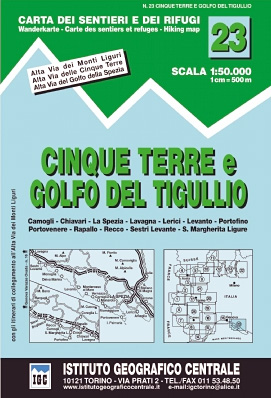
Cinque Terre – Golfo del Tigullio area of the Italian Riviera from genoa to la Spezia including Sestri Levante and Rapallo in a series contoured hiking maps at 1:50,000 with local trails, long-distance footpaths, mountain accommodation, etc. from the Turin based Istituto Geografico Centrale.Maps in this series have contours at 50m intervals, enhanced by shading
Il Cuneese: Cuneo – Saluzzo – Carmagnola 75K IGC Map No. 24

Il Cuneese area of Piedmont, including Cuneo, Saluzzo and Carmagnola, at 1:75,000 in a series contoured hiking maps with local trails, long-distance footpaths, mountain accommodation, etc. from the Turin based Istituto Geografico Centrale. This title also includes an overprint showing cycle routes.Maps in this series have contours at 50m intervals, enhanced by shading and graphic
Asolo Montello – Quartier del Piave
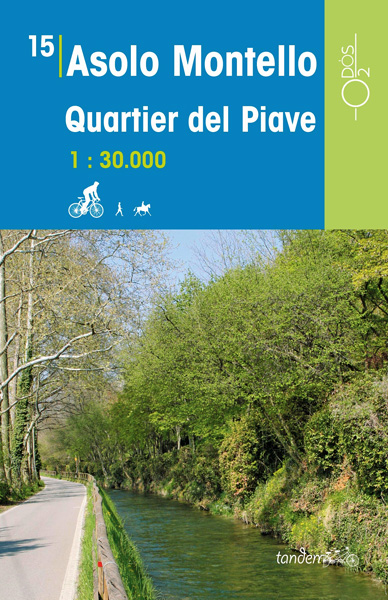
This series of Odos cycling maps are at a scale of 1:35,000 and have prominently marked out cycling routes that are differentiated into different types of cycle situation and terrain. Ideal for planning suitable routes and knowing which routes to avoid whether you are on a mountain bike or road bike. These maps are also
Domodossola – Val Formazza 50K IGC Map No. 11
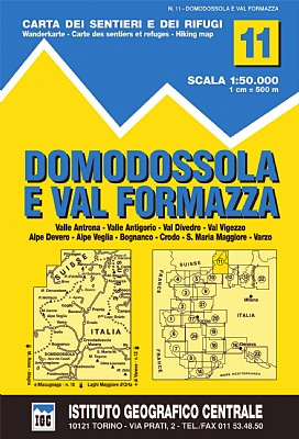
Domodossola – Val Formazza area of the Italian Alps in a series contoured hiking maps at 1:50,000 with local trails, long-distance footpaths, mountain accommodation, etc. from the Turin based Istituto Geografico Centrale.Maps in this series have contours at 50m intervals, enhanced by shading and graphic relief. An overprint highlights local footpaths and long-distance routes, including
Bassano tra Asolo e Marostica
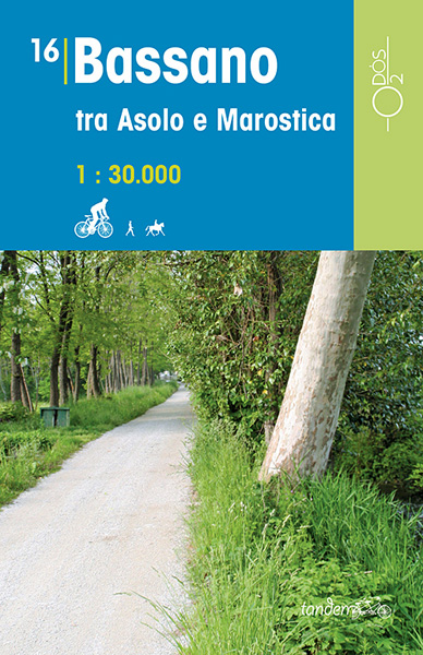
This series of Odos cycling maps are at a scale of 1:35,000 and have prominently marked out cycling routes that are differentiated into different types of cycle situation and terrain. Ideal for planning suitable routes and knowing which routes to avoid whether you are on a mountain bike or road bike. These maps are also
Monte Bianco/Mt. Blanc – Courmayeur – Chamonix – La Thuile 25K IGC Map No. 107
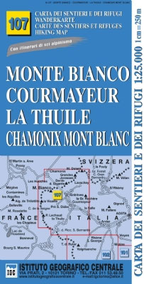
Mont Blanc – Courmayeur – Chamonix – La Thuile area at 1:25,000 in a series of contoured, GPS compatible walking maps from the Turin based Istituto Geografico Centrale, highlighting hiking trails including long-distance routes, ski routes and alpine accommodation. Maps in this series have contours at 25m intervals, enhanced by shading and graphic relief for
Terre di Risorgive
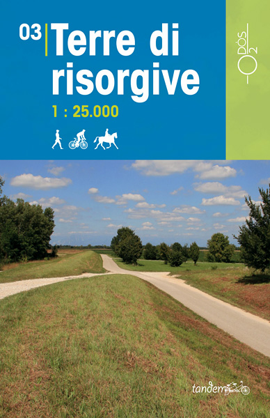
This series of Odos cycling maps are at a scale of 1:35,000 and have prominently marked out cycling routes that are differentiated into different types of cycle situation and terrain. Ideal for planning suitable routes and knowing which routes to avoid whether you are on a mountain bike or road bike. These maps are also
Udine – Palmanova
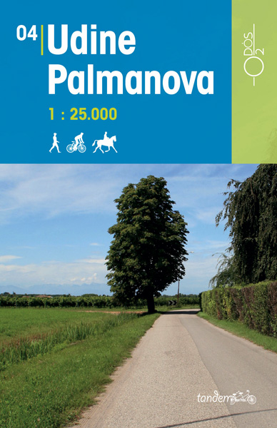
This series of Odos cycling maps are at a scale of 1:35,000 and have prominently marked out cycling routes that are differentiated into different types of cycle situation and terrain. Ideal for planning suitable routes and knowing which routes to avoid whether you are on a mountain bike or road bike. These maps are also
Udine – Codroipo
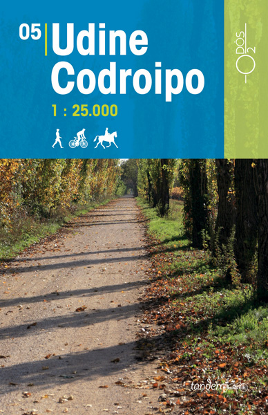
This series of Odos cycling maps are at a scale of 1:35,000 and have prominently marked out cycling routes that are differentiated into different types of cycle situation and terrain. Ideal for planning suitable routes and knowing which routes to avoid whether you are on a mountain bike or road bike. These maps are also
Udine – Cividale
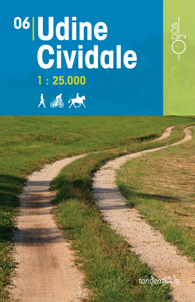
This series of Odos cycling maps are at a scale of 1:35,000 and have prominently marked out cycling routes that are differentiated into different types of cycle situation and terrain. Ideal for planning suitable routes and knowing which routes to avoid whether you are on a mountain bike or road bike. These maps are also
Udine – San Daniele
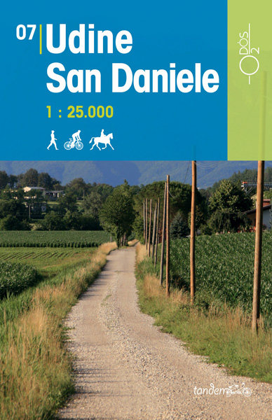
This series of Odos cycling maps are at a scale of 1:35,000 and have prominently marked out cycling routes that are differentiated into different types of cycle situation and terrain. Ideal for planning suitable routes and knowing which routes to avoid whether you are on a mountain bike or road bike. These maps are also


