Category Archives: Maps
Collina di Torino
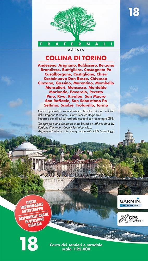
Collina di Torino, the hills east of Turin, presented at 1:25,000 in a series of large, contoured and GPS compatible walking maps from Fraternali Editore, printed on light, waterproof and tear-resistant synthetic paper. Maps in this series have topography shown by contour lines at 5m intervals with relief shading, spot heights, and colouring and/or graphics
Valli di Lanzo Fraternali Editore 08
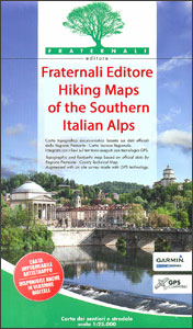
Valli di Lanzo in the Italian Alps presented at 1:25,000 in a series of large, contoured and GPS compatible walking maps from Fraternali Editore, printed on light, waterproof and tear-resistant synthetic paper. Maps in this series have topography shown by contour lines at 5m intervals with relief shading, spot heights, and colouring and/or graphics for
Val Susa – Val Cenischia – Rocciamelone – Val Chisone

Val Susa – Val Cenischia – Rocciamelone – Val Chisone area of the Italian Alps presented at 1:25,000 in a series of large, contoured and GPS compatible walking maps from Fraternali Editore, printed on light, waterproof and tear-resistant synthetic paper. Maps in this series have topography shown by contour lines at 5m intervals with relief
Pinerolese – Val Sangone Fraternali Editore 06

Pinerolese – Val Sangone area of the Italian Alps presented at 1:25,000 in a series of large, contoured and GPS compatible walking maps from Fraternali Editore, printed on light, waterproof and tear-resistant synthetic paper. Maps in this series have topography shown by contour lines at 5m intervals with relief shading, spot heights, and colouring and/or
Brianรงon – Vallรจe de la Guisane – Vallรจe de la Clarรจe
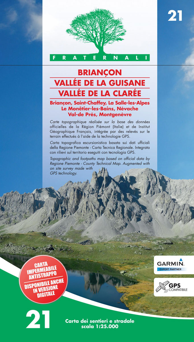
Brianรงon – Vallรจe de la Guisane – Vallรจe de la Clarรจe area of the French Alps presented at 1:25,000 in a series of large, contoured and GPS compatible walking maps from Fraternali Editore, printed on light, waterproof and tear-resistant synthetic paper. Maps in this series have topography shown by contour lines at 5m intervals with
Valle Po – Monviso – Monte Bracco

Valle Po – Monviso – Monte Bracco area of the Italian Alps presented at 1:25,000 in a series of large, contoured and GPS compatible walking maps from Fraternali Editore, printed on light, waterproof and tear-resistant synthetic paper. Maps in this series have topography shown by contour lines at 5m intervals with relief shading, spot heights,
Finalese
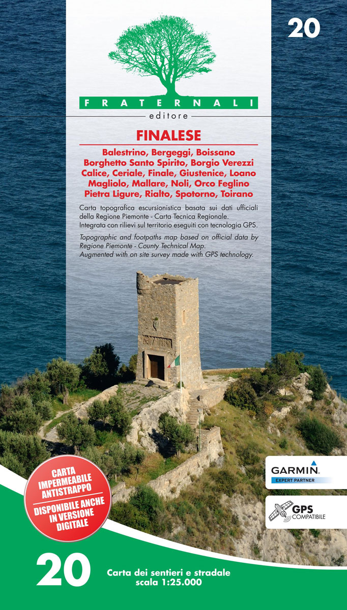
Finalese area of the Italian Alps presented at 1:25,000 in a series of large, contoured and GPS compatible walking maps from Fraternali Editore, printed on light, waterproof and tear-resistant synthetic paper. Maps in this series have topography shown by contour lines at 5m intervals with relief shading, spot heights, and colouring and/or graphics for woodlands,
Alta Val Tanaro – Alta Valle Arroscia – Alta Valle Argentina
Val Vermenagna – Valle Pesio – Alta Valle Ellero area of the Italian Alps presented at 1:25,000 in a series of large, contoured and GPS compatible walking maps from Fraternali Editore, printed on light, waterproof and tear-resistant synthetic paper. Maps in this series have topography shown by contour lines at 5m intervals with relief shading,
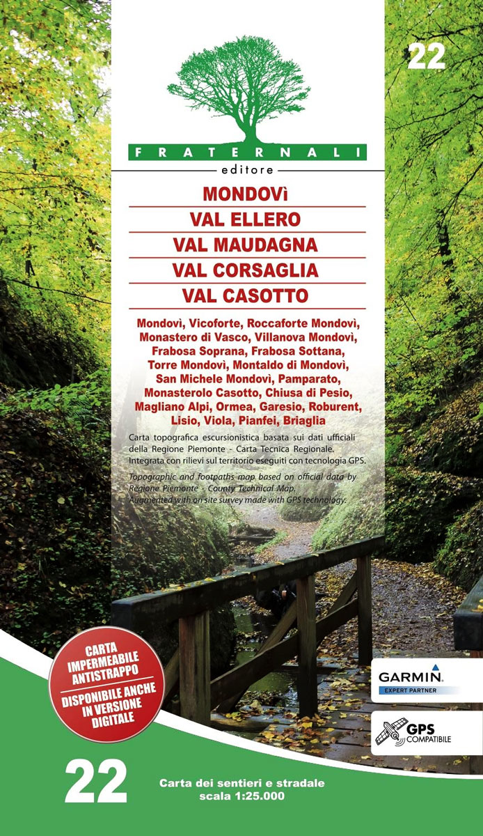
Mondovรฌ – Val Ellero – Val Maudagna – Val Corsaglia – Val Casotto Fraternali Editore 22
Val Vermenagna – Valle Pesio – Alta Valle Ellero area of the Italian Alps presented at 1:25,000 in a series of large, contoured and GPS compatible walking maps from Fraternali Editore, printed on light, waterproof and tear-resistant synthetic paper. Maps in this series have topography shown by contour lines at 5m intervals with relief shading,
Sanremo – Ventimiglia – Bassa Val Roia – Val Nervia 23
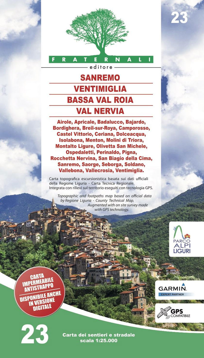
Finalese area of the Italian Alps presented at 1:25,000 in a series of large, contoured and GPS compatible walking maps from Fraternali Editore, printed on light, waterproof and tear-resistant synthetic paper. Maps in this series have topography shown by contour lines at 5m intervals with relief shading, spot heights, and colouring and/or graphics for woodlands,
Valle Gesso – Parco Naturale delle Alpi Marittime
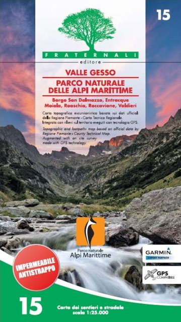
Valle Gesso – Parco Naturale delle Alpi Marittime in the Italian Alps presented at 1:25,000 in a series of large, contoured and GPS compatible walking maps from Fraternali Editore, printed on light, waterproof and tear-resistant synthetic paper. Maps in this series have topography shown by contour lines at 5m intervals with relief shading, spot heights,
Bassa Valle Varaita – Bassa Valle Maira Fraternali Editore 12

Bassa Valle Varaita – Bassa Valle Maira in the Italian Alps presented at 1:25,000 in a series of large, contoured and GPS compatible walking maps from Fraternali Editore, printed on light, waterproof and tear-resistant synthetic paper. Maps in this series have topography shown by contour lines at 5m intervals with relief shading, spot heights, and
Valle di Susa Ski Touring
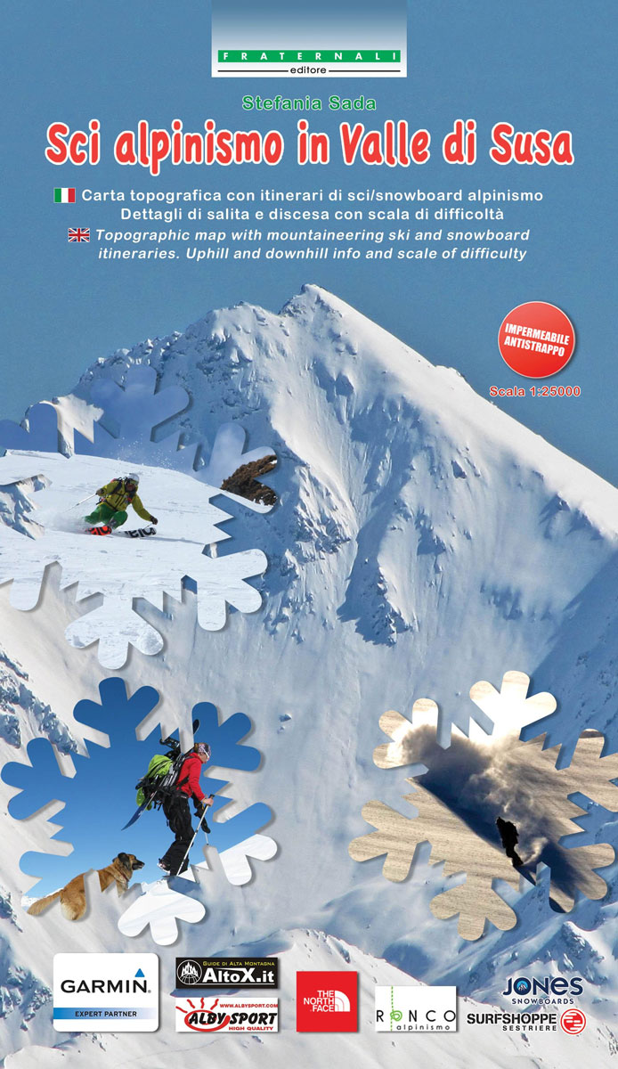
Valle di Susa Ski Touring” is a topographic map in 1:25,000 presenting mountaineering ski and snowboard itineraries. It features uphill and downhill info and scale of difficulty: the difficulty of the itineraries is classified by two tables indicating gradients.The map presents 135 different itineraries, from easy cross country routes to demanding long trails with different
Bassa Valle Susa – Musine – Val Sangone – Collina di Rivoli Fraternali Editore 04

Bassa Valle Susa – Musine – Val Sangone – Collina di Rivoli area of the Italian Alps presented at 1:25,000 in a series of large, contoured and GPS compatible walking maps from Fraternali Editore, printed on light, waterproof and tear-resistant synthetic paper. Maps in this series have topography shown by contour lines at 5m intervals
Finale Ligure – Alassio – Savona IGC 15
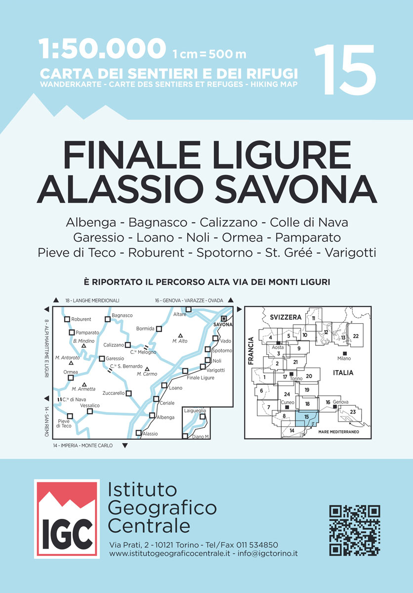
The coast of the Italian Riviera around Albenga, Alassio and Savona in a series contoured hiking maps at 1:50,000 with local trails, long-distance footpaths, mountain accommodation, etc. from the Turin based Istituto Geografico Centrale.Maps in this series have contours at 50m intervals, enhanced by shading and graphic relief. An overprint highlights local footpaths and long-distance
Monviso IGC 6
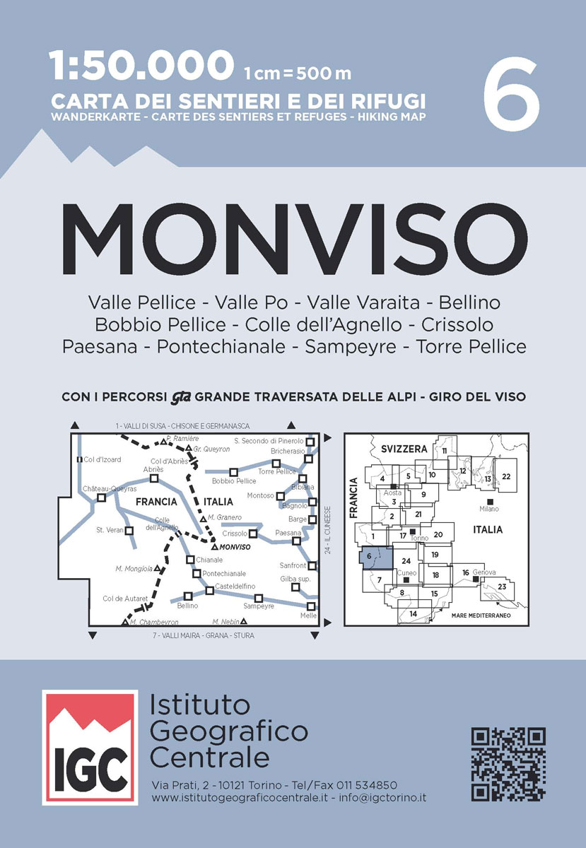
Monviso / Monte Viso cross-border area with coverage from Chร: teaux Queyras to Sampeyre and from the Grand Queyron to the Aiguille de Chambeyron in a series contoured hiking maps at 1:50,000 with local trails, long-distance footpaths, mountain accommodation, etc. from the Turin based Istituto Geografico Centrale.Maps in this series have contours at 50m intervals,
Gran Paradiso – La Grivola – Cogne IGC 101
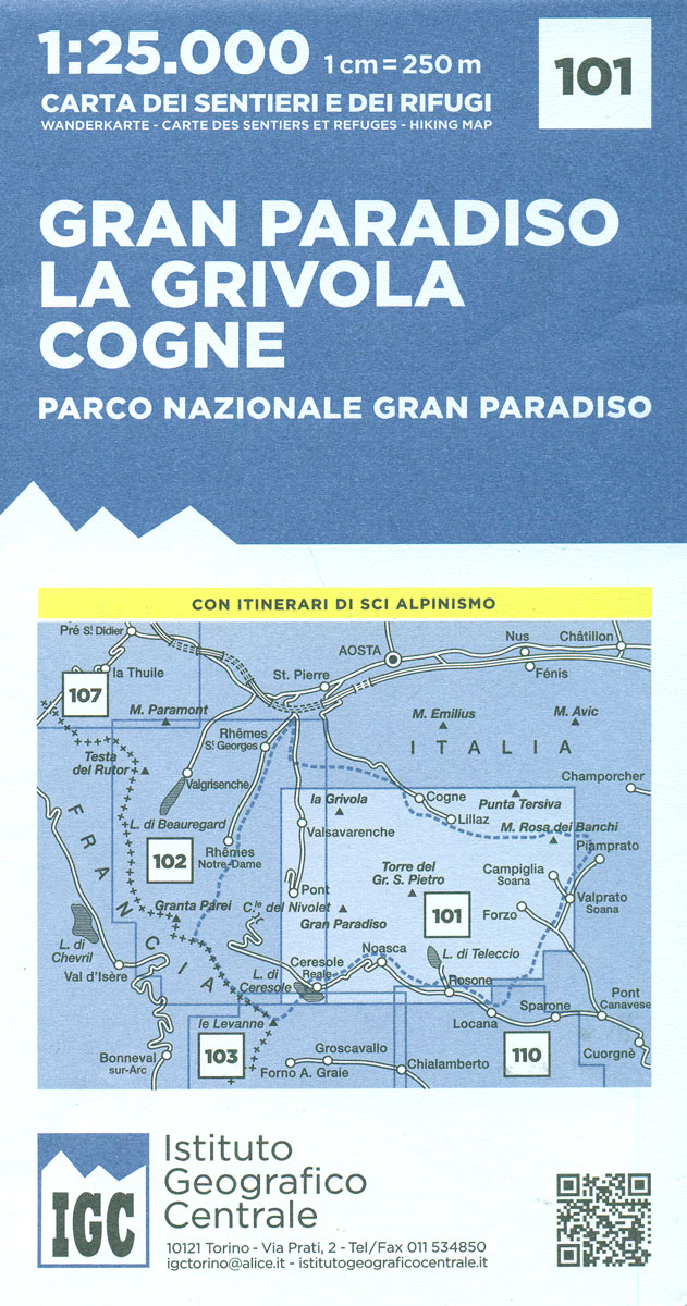
Gran Paradiso – La Grivola – Cogne area of the Italian Alps at 1:25,000 in a series of contoured, GPS compatible walking maps from the Turin based Istituto Geografico Centrale, highlighting hiking trails including long-distance routes, ski routes and alpine accommodation. Maps in this series have contours at 25m intervals, enhanced by shading and graphic
Valsavarenche – Val di Rhรชmes – Valgrisenche IGC 102
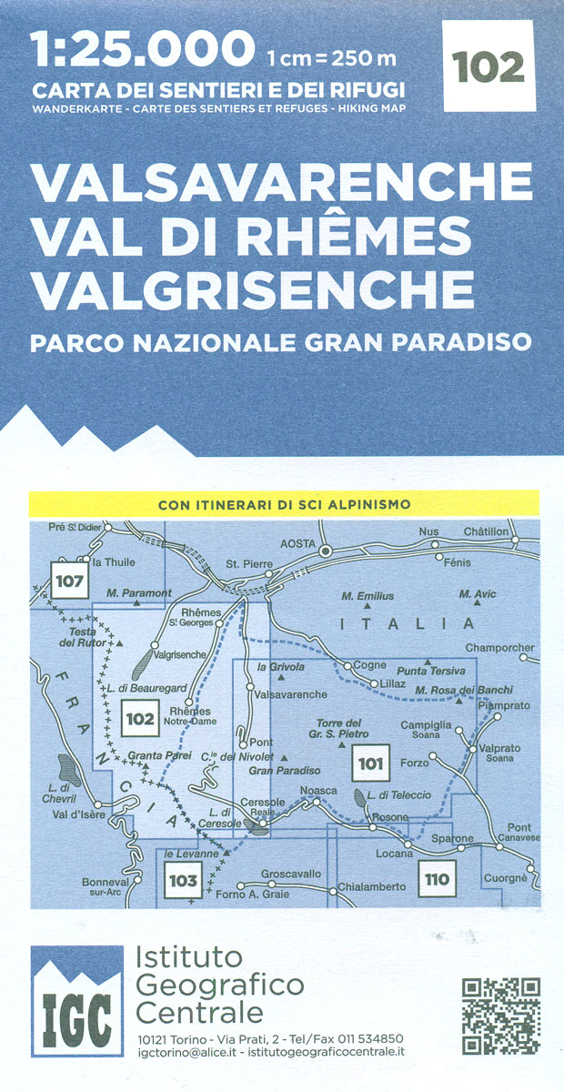
Valsavarenche -Val di Rhรชmes ‘“ Valgrisenche area of the Italian Alps at 1:25,000 in a series of contoured, GPS compatible walking maps from the Turin based Istituto Geografico Centrale, highlighting hiking trails including long-distance routes, ski routes and alpine accommodation. Maps in this series have contours at 25m intervals, enhanced by shading and graphic relief
Monviso – Valle Varaita – Valle Po – Valle Pellice IGC 106
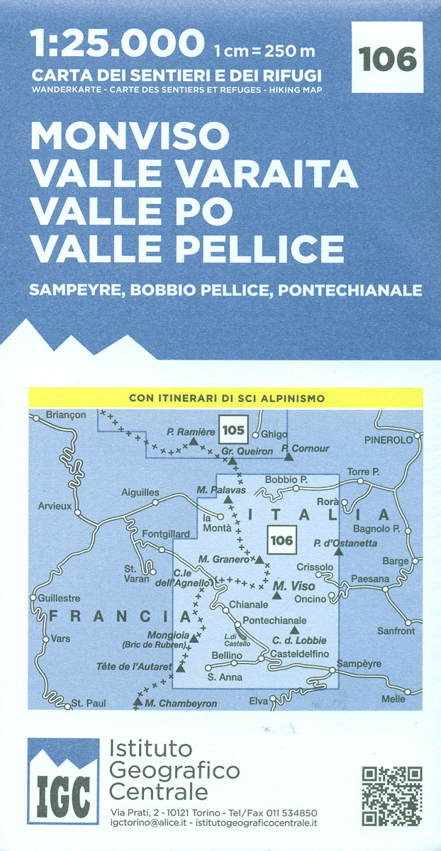
Monviso – Valle Varaita – Valle Po – Valle Pellice – Sampeyre – Bobbio Pellice area of the Italian Alps at 1:25,000 in a series of contoured, GPS compatible walking maps from the Turin based Istituto Geografico Centrale, highlighting hiking trails including long-distance routes, ski routes and alpine accommodation. Maps in this series have contours


