Category Archives: Maps
Toronto Crumpled City Map

Toronto Crumpled City Map from a collection of street plans of major cities printed on soft, very lightweight (approximately only 20g) and yet extremely tear-resistant and 100% waterproof material, specifically designed to be scrunched and crammed into pockets, handbags and backpacks, either on its own or in the pouch from the same material provided with
Venice Crumpled City Map
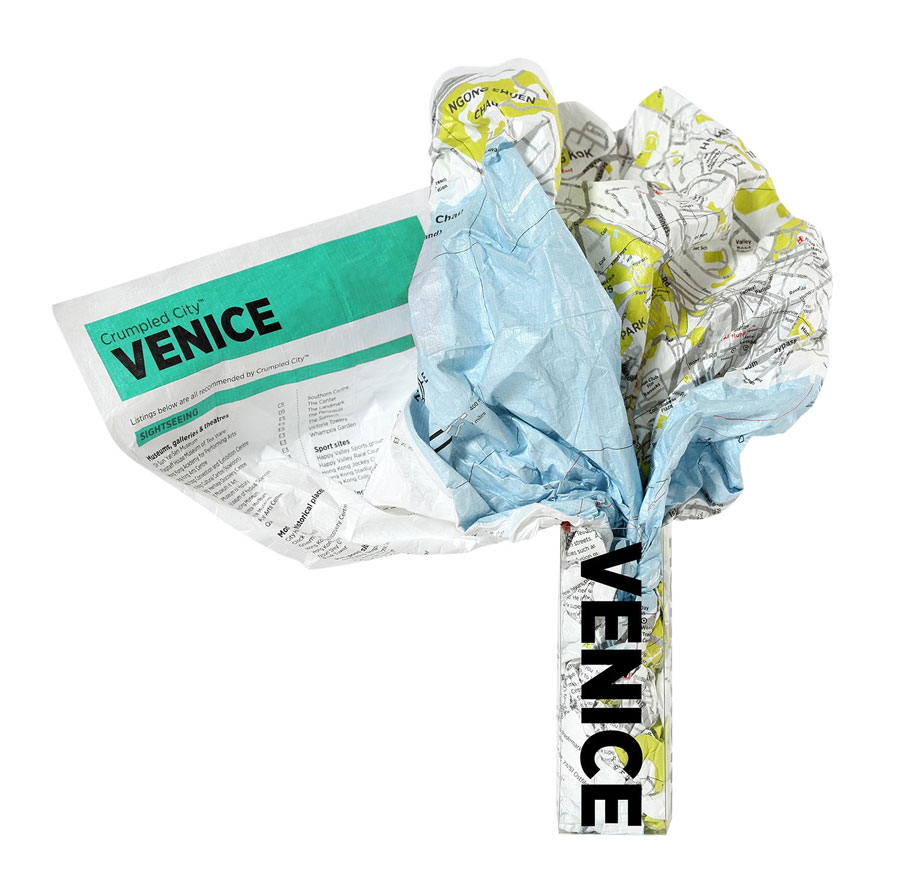
Venice Crumpled City Map from a collection of street plans of major cities printed on soft, very lightweight (approximately only 20g) and yet extremely tear-resistant and 100% waterproof material, specifically designed to be scrunched and crammed into pockets, handbags and backpacks, either on its own or in the pouch from the same material provided with
London – Crumpled City Junior Map
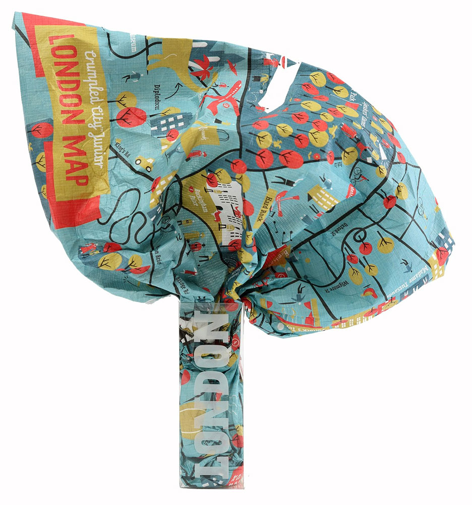
London Crumpled City Junior Map, not only printed on soft, very lightweight and yet extremely tear-resistant and 100% waterproof material but also presenting the city for the kids to enjoy: not just the British Museum or Tate Modern, but also Hamleys, Museum of Childhood, London IMAX, Rainforest Cafรฉ and 28 other exciting attractions, all listed
Berlin Crumpled City Junior Map

Berlin Crumpled City Junior Map, not only printed on soft, very lightweight and yet extremely tear-resistant and 100% waterproof material but also presenting the city for the kids to enjoy: not just the Pergamonmuseum or Checkpoint Charlie but also Berlin Bonbonmacherei, Legoland and 30 other exciting attractions, all listed under the map with their addresses
Moscow Crumpled City Map
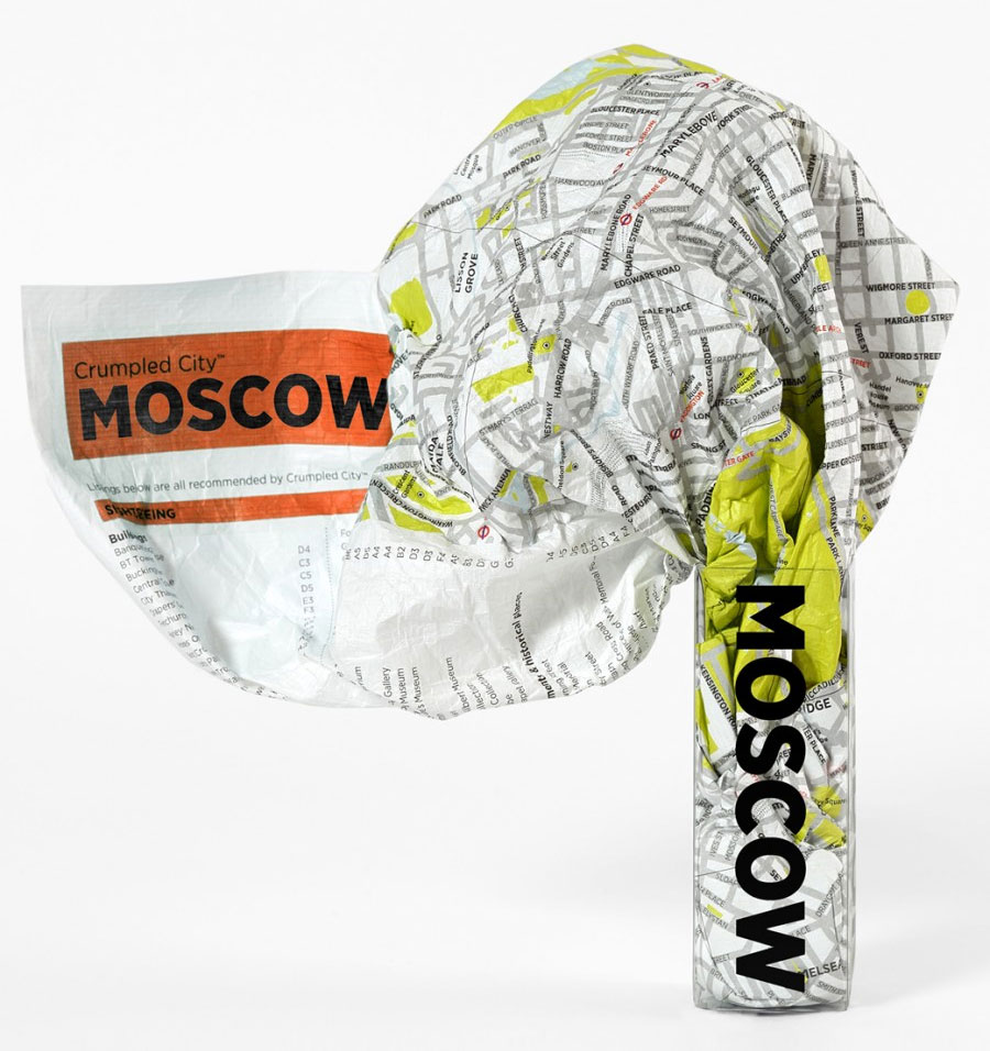
Moscow Crumpled City Map from a collection of street plans of major cities printed on soft, very lightweight (approximately only 20g) and yet extremely tear-resistant and 100% waterproof material, specifically designed to be scrunched and crammed into pockets, handbags and backpacks, either on its own or in the pouch from the same material provided with
Valle Soana – Bassa Valle Orco
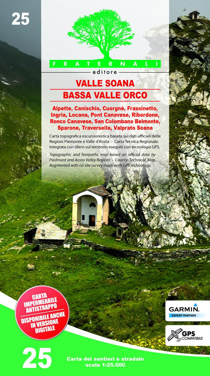
Valli di Lanzo in the Italian Alps presented at 1:25,000 in a series of large, contoured and GPS compatible walking maps from Fraternali Editore, printed on light, waterproof and tear-resistant synthetic paper. Maps in this series have topography shown by contour lines at 5m intervals with relief shading, spot heights, and colouring and/or graphics for
Crumpled Sky Map – Spring/Summer
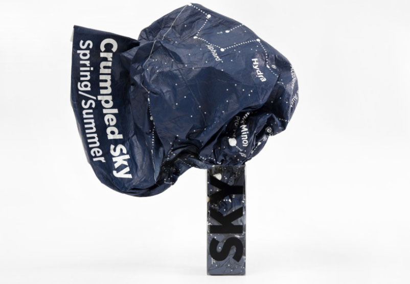
The Crumpled Sky map is soft, very lightweight yet extremely resistant and waterproof, designed to be quickly put away in your bag without folding. Perfect for carrying around on camping or stars spotting trips. In order to use Crumpled Sky as a wall map, it should be ironed at a low temperature.It features the night
Bassa Val Tanaro – Val Bormida e Cebano
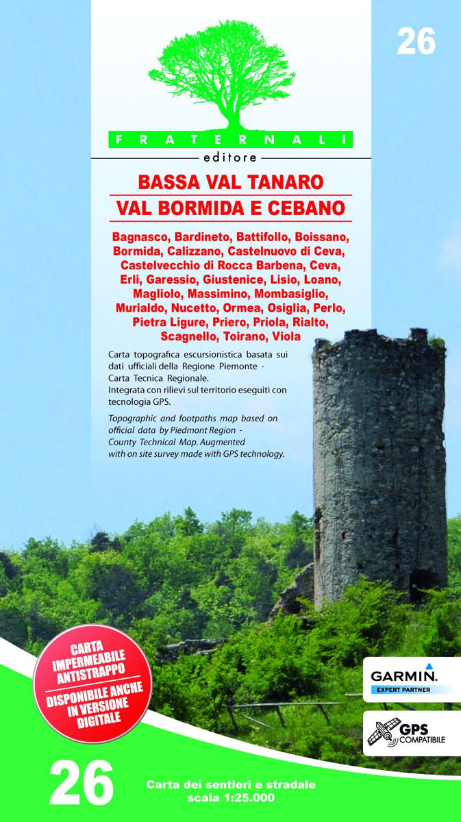
Val Vermenagna – Valle Pesio – Alta Valle Ellero area of the Italian Alps presented at 1:25,000 in a series of large, contoured and GPS compatible walking maps from Fraternali Editore, printed on light, waterproof and tear-resistant synthetic paper. Maps in this series have topography shown by contour lines at 5m intervals with relief shading,
Valle Strona 30K Zanetti Map No. 65

Valle Strona in the Italian Alps on a contoured map at 1:30,000 from Zanetti Editore highlighting waymarked hiking trails, refuges and places of interest. The map has grid lines at 1km intervals but without geographical coordinates. Map legend is in Italian and German. Maps in this series have contours at 25m with spot heights, shading
Domodossola 30K Zanetti Map No. 64
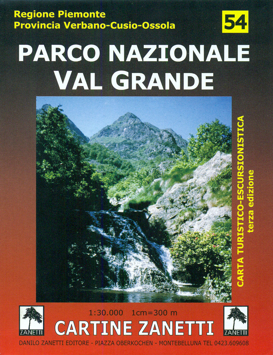
Domodossola area in the Italian Alps on a contoured map at 1:30,000 in a series from Zanetti Editore highlighting waymarked hiking trails, refuges and places of interest. Maps in this series have contours at 25m with spot heights, shading and colouring for woodlands show the topography. Local footpaths are marked, with an overprint highlighting waymarked
Selvaggio Blu Hiking Trail – Sardinia
Selvaggio Blue, a 45km long route along the western coast of Sardinia, considered as one of the finest but most difficult hiking and climbing trails in the Mediterranean, on a detailed, double-sided map at 1:15,000 from Edizioni Enrico Spanu with vivid presentation of the terrain, GPS coordinates, plus stage-by stage descriptions.Contours at 25m intervals, enhanced
Pinerolese – Val Sangone Fraternali Editore 06
Pinerolese – Val Sangone area of the Italian Alps presented at 1:25,000 in a series of large, contoured and GPS compatible walking maps from Fraternali Editore, printed on light, waterproof and tear-resistant synthetic paper. Maps in this series have topography shown by contour lines at 5m intervals with relief shading, spot heights, and colouring and/or
Brianรงon – Vallรจe de la Guisane – Vallรจe de la Clarรจe
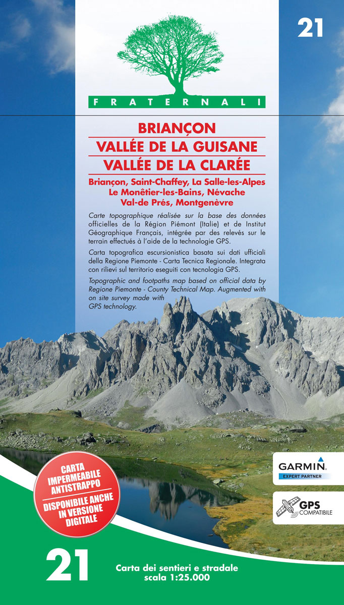
Brianรงon – Vallรจe de la Guisane – Vallรจe de la Clarรจe area of the French Alps presented at 1:25,000 in a series of large, contoured and GPS compatible walking maps from Fraternali Editore, printed on light, waterproof and tear-resistant synthetic paper. Maps in this series have topography shown by contour lines at 5m intervals with
Valle Po – Monviso – Monte Bracco

Valle Po – Monviso – Monte Bracco area of the Italian Alps presented at 1:25,000 in a series of large, contoured and GPS compatible walking maps from Fraternali Editore, printed on light, waterproof and tear-resistant synthetic paper. Maps in this series have topography shown by contour lines at 5m intervals with relief shading, spot heights,
Finalese
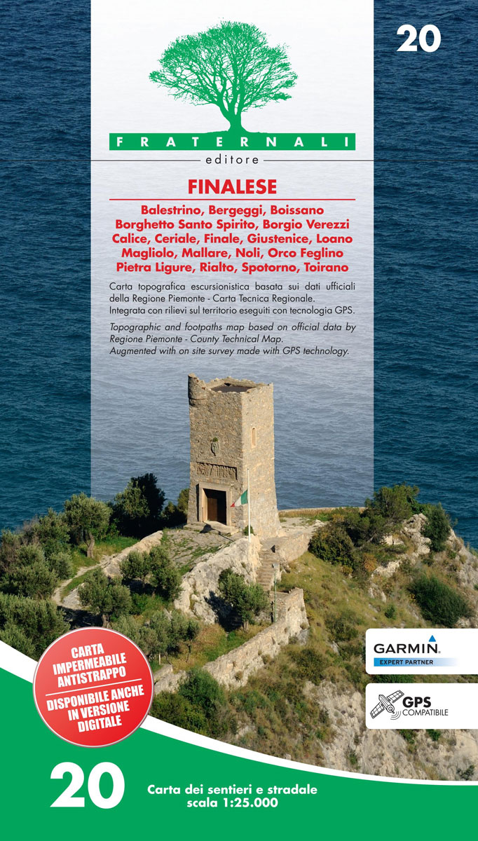
Finalese area of the Italian Alps presented at 1:25,000 in a series of large, contoured and GPS compatible walking maps from Fraternali Editore, printed on light, waterproof and tear-resistant synthetic paper. Maps in this series have topography shown by contour lines at 5m intervals with relief shading, spot heights, and colouring and/or graphics for woodlands,


