Category Archives: Maps
Valtournenche – Monte Cervino / Matterhorn – Val d`Ayas West L`Escursionista Editore 7
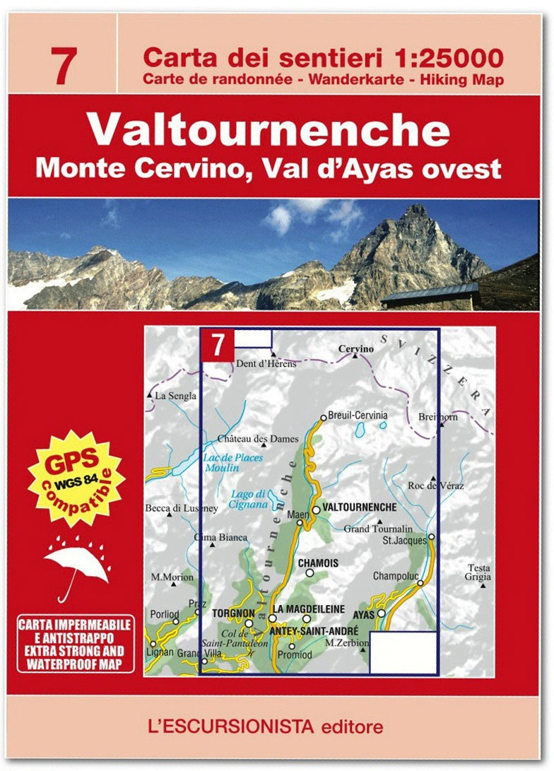
Valtournenche – Monte Cervino/Matterhorn – Breuil-Cervinia, map No. 7, in a series of detailed, GPS compatible hiking maps of the Italian Alps from L’Escursionista Editore, highlighting hiking routes including the Via Ferrata climbing paths, campsites, refuges, shelters, etc. Maps in this L’Escursionista Editore series have clear, easy to read cartography based on the Italian topographic
Colline di San Luca – Bologna
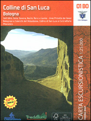
Bologna with its southern environs, including the San Luca Hills, on a contoured and GPS compatible map at 1:25,000 from L`Escursionista Editore highlighting waymarked walking trails and other local paths, not signposted but open to hikers. An inset extends the coverage north of the city to show the route along the Canale Navile.Topography is presented
Parco Storico di Monte Sole – Medie valli del Savena e del Reno e valli del Sambro e del Setta
Lakes Suviana and Brasimone area on the border of Emilia-Romagna and Tuscany on a contoured and GPS compatible map at 1:25,000 from L`Escursionista Editore highlighting waymarked walking trails and other local paths, not signposted but open to hikers. Topography is presented by contours at 20m intervals with relief shading and colouring indicating orchards and woodlands,
Alpe di San Benedetto 21
Map No. 21, Alpe di San Benedetto: Passo del Muraglione ‘“ San Godenzo ‘“ Dicomano, in series of contoured, GPS compatible hiking maps at 1:25,000 from the Istituto Geografico Adriatico, covering mainly the spine of the Apennines along the borders of Tuscany, Emilia-Romagna, Umbria and the Marches.Map in this series have contours at 25m intervals
Tignes – Val d`Isรจre – Vallees du Grand Paradis l`Escursionista 02
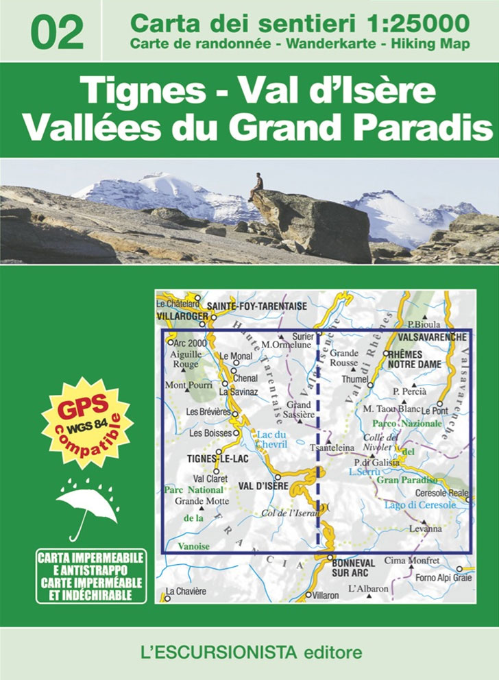
Hiking map Nยฐ 2 of the France/Italy cross-border collection.Upper Valgrisenche, Val de Rhรชmes and Valsavarenche (Valle d`Aosta), Orco Valley (Piedmont), Communes of Tignes and Val d`Isรจre (Haute Tarentaise) to the village of Bonneval sur Arc and Les Lanches (Peisey-Nancroix valley). Lists the walking trails and mountain bike trails as well as the unmarked trails. Waterproof
Alta Valle del Lamone 22
Map No. 22, Alta Valle del Lamone: Alto Appennino Faentino ‘“ Anello di Marradi, in series of contoured, GPS compatible hiking maps at 1:25,000 from the Istituto Geografico Adriatico, covering mainly the spine of the Apennines along the borders of Tuscany, Emilia-Romagna, Umbria and the Marches.Map in this series have contours at 25m intervals with
Valgrisenche – Val di Rhemes – Valsavarenche L`Escursionista Editore 3
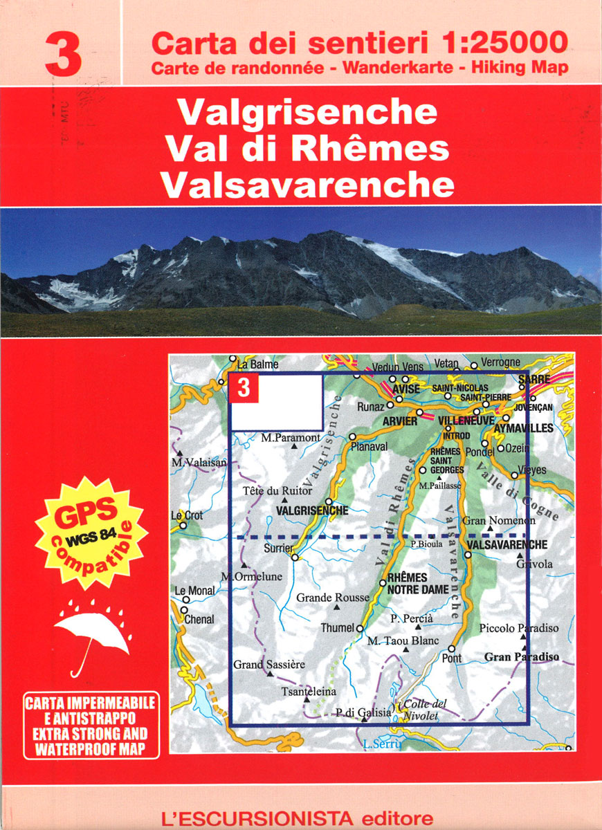
Valgrisenche – Val di Rhemes – Valsavarenche, map No. 3, in a series of detailed, GPS compatible hiking maps of the Italian Alps from L’Escursionista Editore, highlighting hiking routes including the Via Ferrata climbing paths, campsites, refuges, shelters, etc.Maps in this L’Escursionista Editore series have clear, easy to read cartography based on the Italian topographic
La Thuile ‘“ Haute Tarentaise l`Escursionista Editore 01

La Thuile ‘“ Haute Tarentaise, map No. 01, in a series of detailed, GPS compatible hiking maps of the Italian Alps from L’Escursionista Editore, highlighting walking routes including the Via Ferrata climbing paths, campsites, refuges, shelters, etc. The map, printed on light waterproof and tear-resistant synthetic paper, is double-sided to provide a wider coverage of
Corno alle Scale
Corno alle Scale area in the Alto Appennino Bolognese on a contoured and GPS compatible map at 1:25,000 from L`Escursionista Editore highlighting waymarked walking trails and other local paths, not signposted but open to hikers. Topography is presented by contours at 20m intervals with relief shading and colouring indicating orchards and woodlands, plus boundaries of
Lakes Suviana & Brasimone

Lakes Suviana and Brasimone area on the border of Emilia-Romagna and Tuscany on a contoured and GPS compatible map at 1:25,000 from L`Escursionista Editore highlighting waymarked walking trails and other local paths, not signposted but open to hikers. Topography is presented by contours at 20m intervals with relief shading and colouring indicating orchards and woodlands,
Valli del Lavino, Samoggia e Panaro

Lakes Suviana and Brasimone area on the border of Emilia-Romagna and Tuscany on a contoured and GPS compatible map at 1:25,000 from L`Escursionista Editore highlighting waymarked walking trails and other local paths, not signposted but open to hikers. Topography is presented by contours at 20m intervals with relief shading and colouring indicating orchards and woodlands,
Bernina – Valmalenco – Sondrio L`Escursionista Editore 21
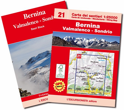
Bernina, Valmalenco and Sondrio map No. 21, in a series of detailed, GPS compatible hiking maps of the Italian Alps from L’Escursionista Editore, highlighting hiking routes including the Via Ferrata climbing paths, campsites, refuges, shelters, etc. Maps in this L’Escursionista Editore series have clear, easy to read cartography based on the Italian topographic survey with
Elba L`Escursionista Editore

Elba at 1:25,000 on a contoured and GPS-compatible map from L’Escursionista Editore prominently highlighting local trails and longer routes, shown where appropriate with their waymaking symbols and/or official numbers, plus a 32-page English language booklet on the Grande Traversata Elbana including accommodation.Topography of the island is presented by contours at 25m intervals with spot heights,
Moscow Crumpled City Map
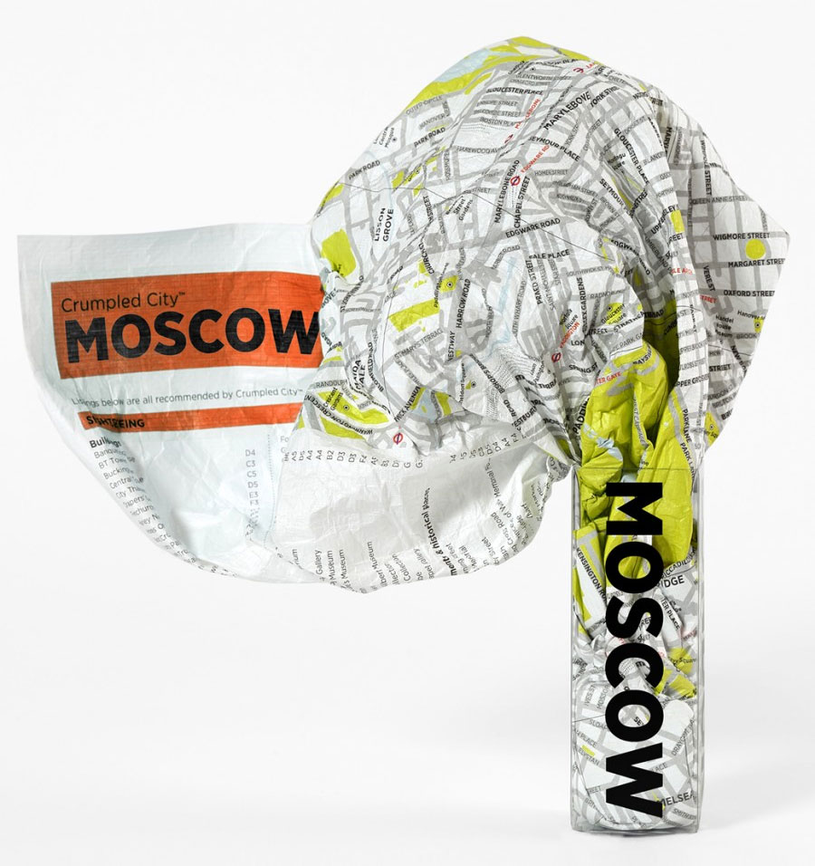
Moscow Crumpled City Map from a collection of street plans of major cities printed on soft, very lightweight (approximately only 20g) and yet extremely tear-resistant and 100% waterproof material, specifically designed to be scrunched and crammed into pockets, handbags and backpacks, either on its own or in the pouch from the same material provided with
Valle Soana – Bassa Valle Orco
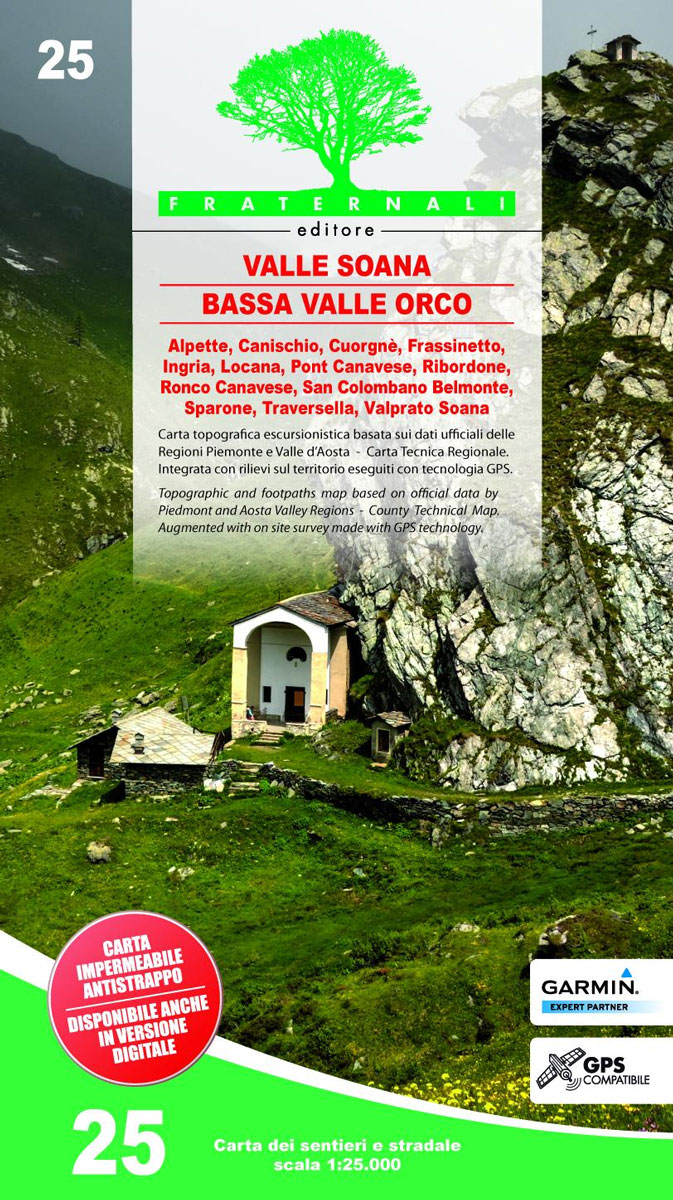
Valli di Lanzo in the Italian Alps presented at 1:25,000 in a series of large, contoured and GPS compatible walking maps from Fraternali Editore, printed on light, waterproof and tear-resistant synthetic paper. Maps in this series have topography shown by contour lines at 5m intervals with relief shading, spot heights, and colouring and/or graphics for
Crumpled Sky Map – Spring/Summer
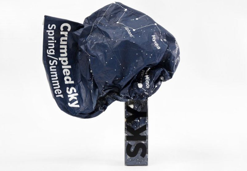
The Crumpled Sky map is soft, very lightweight yet extremely resistant and waterproof, designed to be quickly put away in your bag without folding. Perfect for carrying around on camping or stars spotting trips. In order to use Crumpled Sky as a wall map, it should be ironed at a low temperature.It features the night
Bassa Val Tanaro – Val Bormida e Cebano
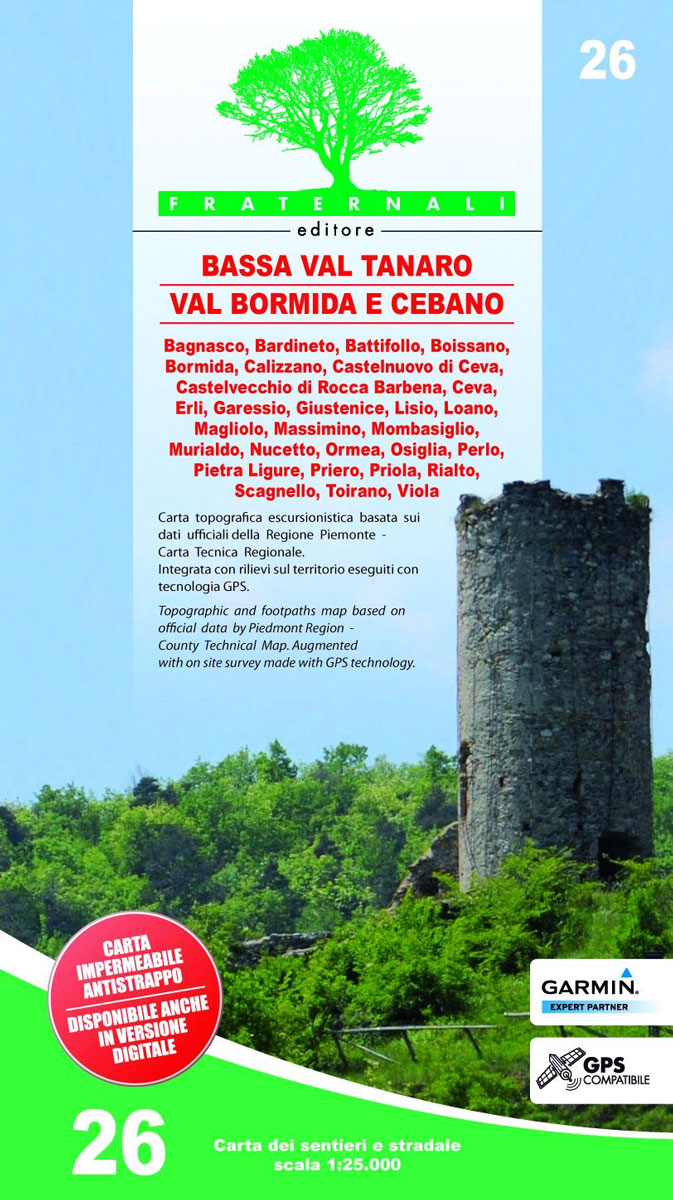
Val Vermenagna – Valle Pesio – Alta Valle Ellero area of the Italian Alps presented at 1:25,000 in a series of large, contoured and GPS compatible walking maps from Fraternali Editore, printed on light, waterproof and tear-resistant synthetic paper. Maps in this series have topography shown by contour lines at 5m intervals with relief shading,
Valle Strona 30K Zanetti Map No. 65

Valle Strona in the Italian Alps on a contoured map at 1:30,000 from Zanetti Editore highlighting waymarked hiking trails, refuges and places of interest. The map has grid lines at 1km intervals but without geographical coordinates. Map legend is in Italian and German. Maps in this series have contours at 25m with spot heights, shading


