Category Archives: Maps
Sardinia`s Trenino Verde Route 3-Map Set
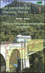
A set of three maps at 1:40,000 from the Edizioni Abies series covering Sardinia’s Trenino Verde tourist railway line, run with vintage diesel and steam engines. The maps in this set cover the stages 1 to 3: Arbatax to Ussassai, Ussassai to Nurri, and Nurri to Mandas plus Gesico to Nurallao. Topography is shown by
Val di Champorcher – Mont Avic L`Escursionista Editore 11
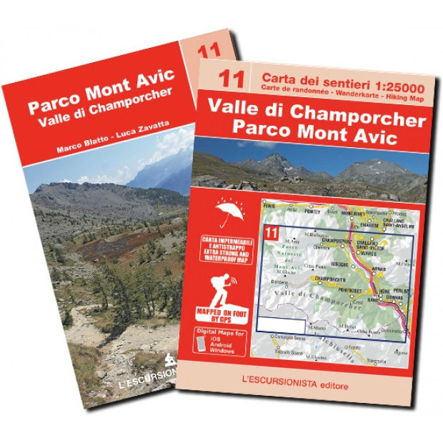
Val di Champorcher – Mont Avic, map No. 11, in a series of detailed, GPS compatible hiking maps of the Italian Alps from L’Escursionista Editore, highlighting hiking routes including the Via Ferrata climbing paths, campsites, refuges, shelters, etc.Maps in this L’Escursionista Editore series have clear, easy to read cartography based on the Italian topographic survey
Valle dell`Orco – Gran Paradiso L`Escursionista Editore 14
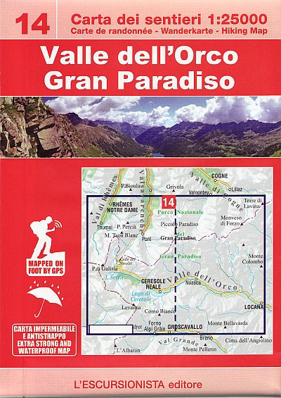
Valle dell`Orco – Gran Paradiso, map No. 14, in a series of detailed, GPS compatible hiking maps of the Italian Alps from L’Escursionista Editore, highlighting hiking routes including the Via Ferrata climbing paths, campsites, refuges, shelters, etc. A separate booklet provides a description of a 6-day trekking route. The text is in Italian only.Maps in
Alte Valli di Lanzo – Val Grande – Val d`Ala – Val di Viu L`Escursionista Editore 17
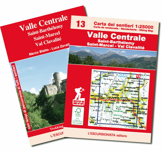
Valle Centrale – Saint-Barthรฉlemy, map No. 13, in a series of detailed, GPS compatible hiking maps of the Italian Alps from L’Escursionista Editore, highlighting hiking routes including the Via Ferrata climbing paths, campsites, refuges, shelters, etc. Maps in this L’Escursionista Editore series have clear, easy to read cartography based on the Italian topographic survey with
Monte Bianco / Mt Blanc – Courmayeur L`Escursionista Editore 1
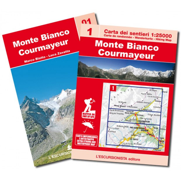
Monte Bianco/Mt Blanc – Courmayeur, map No. 1, in a series of detailed, GPS compatible hiking maps of the Italian Alps from L’Escursionista Editore, highlighting hiking routes including the Via Ferrata climbing paths, campsites, refuges, shelters, etc. A separate booklet provides descriptions of three hiking trails: a 3-day tour of Val Veny; a 3-day tout
Valle Maira l`Escursionista Editore
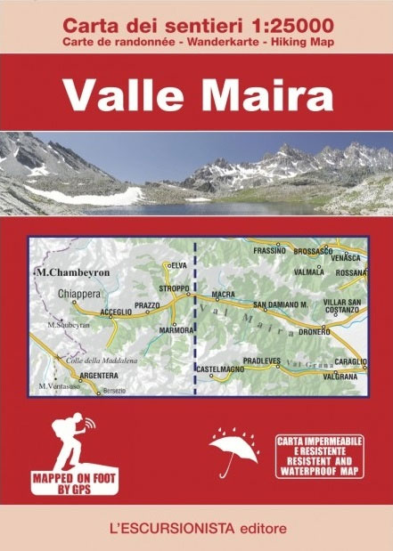
Valle Maira, at 1:25,000 on a waterproof and tear-resistant, double-sided, contoured and GPS-compatible map from the Istituto Geografico Adriatico with an overprint highlighting numerous local and long-distance hiking trails, including the GTA (Grande Traversata delle Alpi). The map shows various types of accommodation (huts and refuges, B&Bs, country inns, campsites, etc), food shops and cash
Valle Maira l`Escursionista Mountain Bike Map
Valle di Cogne – Gran Paradiso L`Escursionista Editore 10

Valle di Cogne – Gran Paradiso, map No. 10, in a series of detailed, GPS compatible hiking maps of the Italian Alps from L’Escursionista Editore, highlighting hiking routes including the Via Ferrata climbing paths, campsites, refuges, shelters, etc. A separate booklet provides descriptions of three hiking trails: a 3-day Panoramic Hike; a 3-day trail between
Gran San Bernardo – Valle di Ollomont L`Escursionista Editore 5
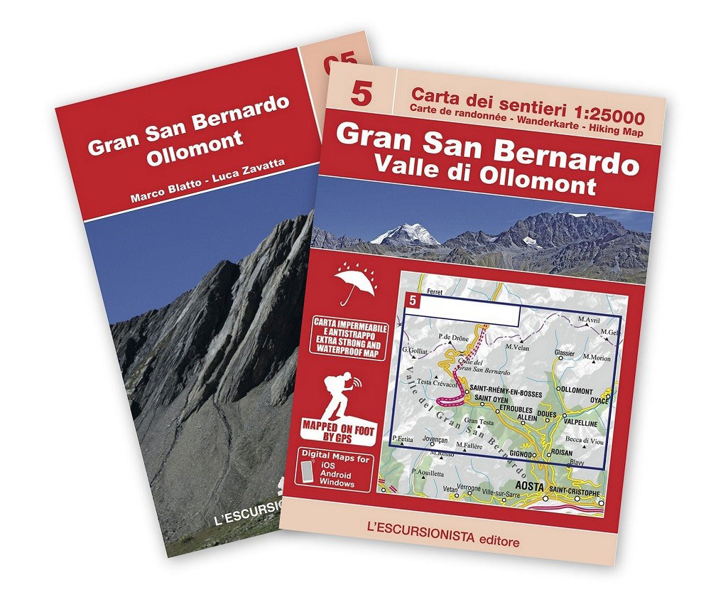
Gran San Bernardo – Valle di Ollomont, map No. 5, in a series of detailed, GPS compatible hiking maps of the Italian Alps from L’Escursionista Editore, highlighting hiking routes including the Via Ferrata climbing paths, campsites, refuges, shelters, etc. Accompanying booklet includes 14 pages of English language descriptions of three hiking trails: a 4-day Tour
Basse valli d`Ayas e del Lys L`Escursionista Editore 12

Valle Centrale – Saint-Barthรฉlemy, map No. 13, in a series of detailed, GPS compatible hiking maps of the Italian Alps from L’Escursionista Editore, highlighting hiking routes including the Via Ferrata climbing paths, campsites, refuges, shelters, etc. Maps in this L’Escursionista Editore series have clear, easy to read cartography based on the Italian topographic survey with
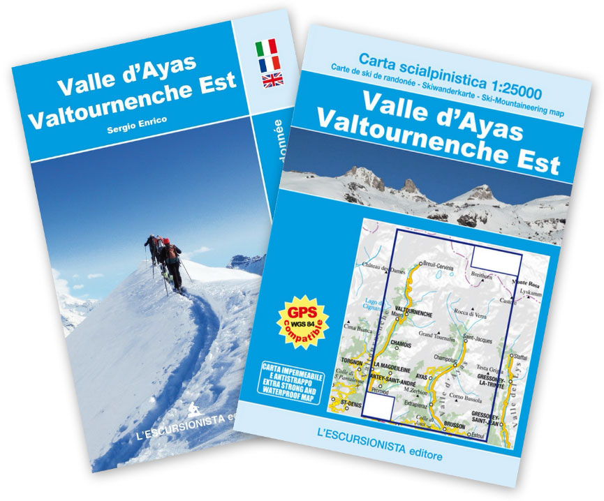
Valle d`Ayas – Valtournenche Est l`Escursionista Ski-Mountaineering Map
Monte Rosa – Ayas – Gressoney – Alagna L`Escursionista Editore 8
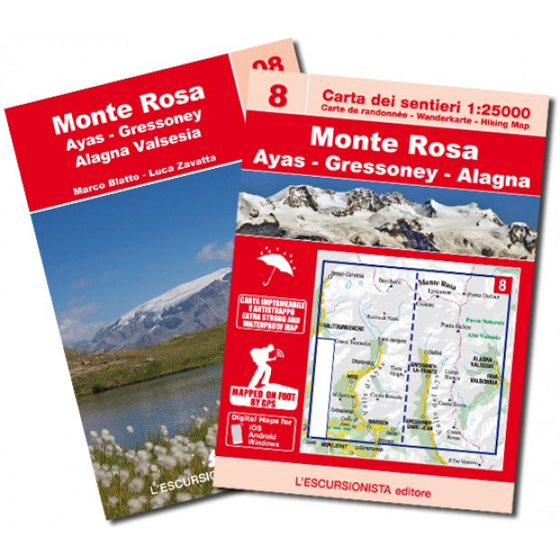
Monte Rosa – Breuil-Cervinia – Valtournenche – Gressoney, map No. 8, in a series of detailed, GPS compatible hiking maps of the Italian Alps from L’Escursionista Editore, highlighting hiking routes including the Via Ferrata climbing paths, campsites, refuges, shelters, etc. Coverage includes the upper valley of Ayas and Lys. A separate booklet provides descriptions of
Corno alle Scale
Corno alle Scale area in the Alto Appennino Bolognese on a contoured and GPS compatible map at 1:25,000 from L`Escursionista Editore highlighting waymarked walking trails and other local paths, not signposted but open to hikers. Topography is presented by contours at 20m intervals with relief shading and colouring indicating orchards and woodlands, plus boundaries of
Lakes Suviana & Brasimone
Lakes Suviana and Brasimone area on the border of Emilia-Romagna and Tuscany on a contoured and GPS compatible map at 1:25,000 from L`Escursionista Editore highlighting waymarked walking trails and other local paths, not signposted but open to hikers. Topography is presented by contours at 20m intervals with relief shading and colouring indicating orchards and woodlands,
Valli del Lavino, Samoggia e Panaro

Lakes Suviana and Brasimone area on the border of Emilia-Romagna and Tuscany on a contoured and GPS compatible map at 1:25,000 from L`Escursionista Editore highlighting waymarked walking trails and other local paths, not signposted but open to hikers. Topography is presented by contours at 20m intervals with relief shading and colouring indicating orchards and woodlands,
Bernina – Valmalenco – Sondrio L`Escursionista Editore 21
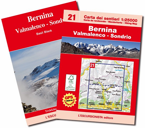
Bernina, Valmalenco and Sondrio map No. 21, in a series of detailed, GPS compatible hiking maps of the Italian Alps from L’Escursionista Editore, highlighting hiking routes including the Via Ferrata climbing paths, campsites, refuges, shelters, etc. Maps in this L’Escursionista Editore series have clear, easy to read cartography based on the Italian topographic survey with


