Category Archives: Maps
Valsesia – Monte Rosa – Alagna Valsesia – Rima San Giuseppe – Carcoforo Geo4Map 4
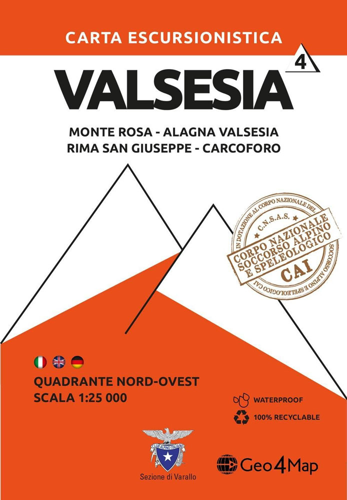
1:25,000 hiking map to the north west of Valsesia centred on Rima San Giuseppe and Alagna Valsesia, including Monte Rosa, Carcoforo, Rimasco, Mollia and Riva Valdobbia.Published in association with the CAI, the Italian Alpine Club, who are responsible for the trails. Trails are marked on the map. The key information and more detailed information on
Valsesia – Val Mastallone – Boccioleto – Rossa – Varallo Geo4Map 3
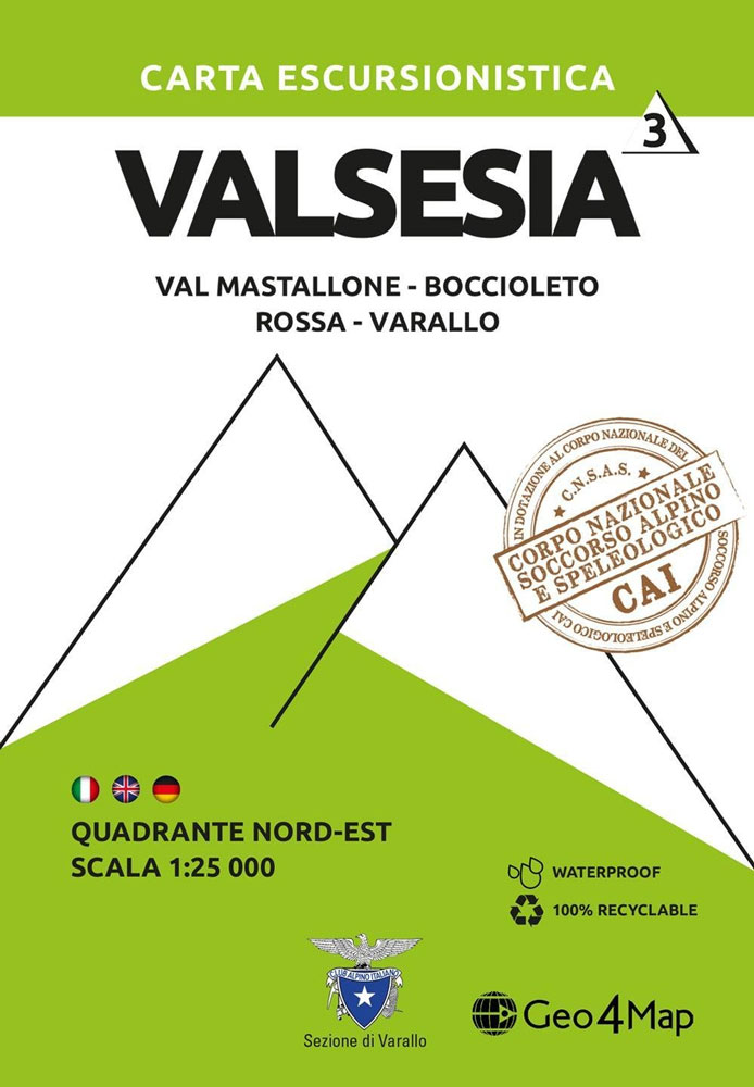
1:25,000 hiking map to the north east of Valsesia centred on Fobello including Rimella, Varallo, Rossa and Boccioleto.Published in association with the CAI, the Italian Alpine Club, who are responsible for the trails. Trails are marked on the map. The key information and more detailed information on the rear of the sheet are in Italian,
Sardinia`s Trenino Verde Route 4-Map Set
A set of four maps at 1:40,000 from the Edizioni Abies series covering Sardinia’s Trenino Verde tourist railway line, run with vintage diesel and steam engines. The maps in this set cover stages 1 to 4: Arbatax to Ussassai, Ussassai to Nurri, Nurri to Mandas plus Gesico to Nurallao, and Nurallao to Sorgono. Topography is
Valle Antrona – Pizzo d`Andolla – Villadossola Geo4Map 7
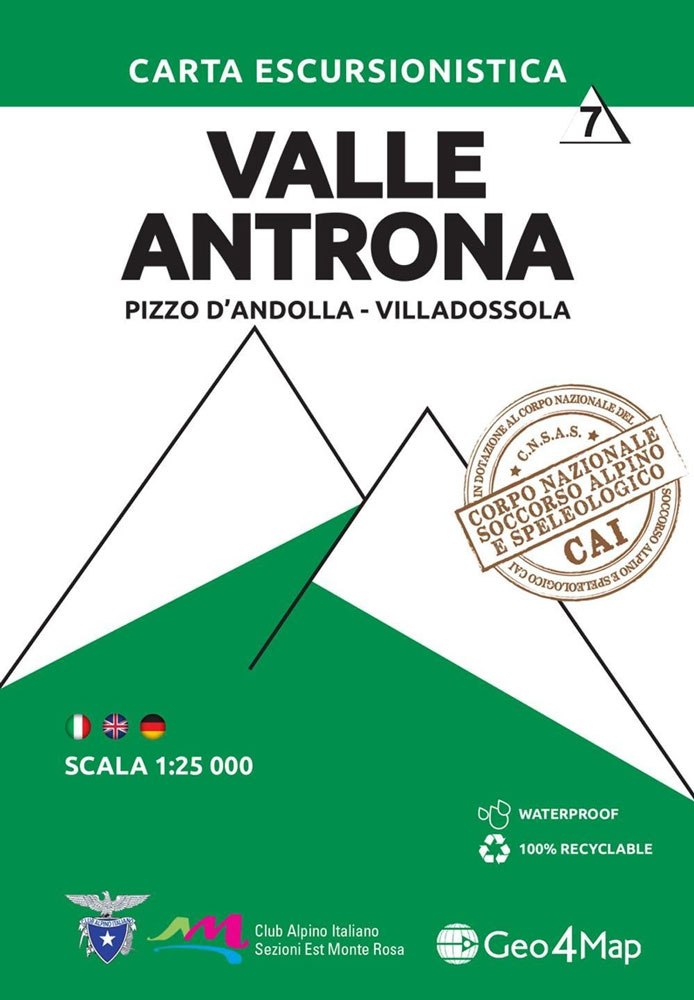
1:25,000 hiking map to Valle Antrona centred on Antronapiana, including Pizzo d`Andolla, Villadossola and Pieve Vergonte. Published in association with the CAI, the Italian Alpine Club, who are responsible for the trails. Trails are marked on the map. The key information and more detailed information on the rear of the sheet are in Italian, German
Santa Caterina di Pittinuri to Capo Caccia
Santa Caterina di Pittinuri to Capo Caccia area in a series of contoured, GPS compatible maps at 1:60,000 from Ed. Abies, with extensive tourist information including special recreational routes plus additional coverage at more detailed scales of selected popular areas.*Main series at 1:60,000 (Nos. 1 to 12)*The maps have contours at 100m intervals and colouring
Cinque Terre – Golfo della Spezia Geo4Map 21
1:40,000 scale hiking map to Cinque Terre including Bonassola, Vernazza, Porto Venere & Lerici.Published in association with the CAI, the Italian Alpine Club, who are responsible for the trails. Trails are marked on the map. The key information and more detailed information on the rear of the sheet are in Italian, German and English. Printed
Costa Smeralda: Portobello Di Gallura To Golfo Aranci

Costa Smeralda: Portobello di Gallura to Golfo Aranci area in a series of contoured, GPS compatible maps at 1:60,000 from Ed. Abies, with extensive tourist information including special recreational routes plus additional coverage at more detailed scales of selected popular areas.*Main series at 1:60,000 (Nos. 1 to 12)*The maps have contours at 100m intervals and
Valle Isorno – Valle Antigorgio – Val Vigezzo – Valle Maggia Geo4Map 12
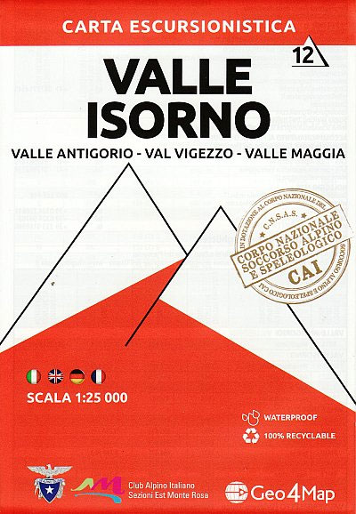
1:25,000 scale hiking map to Valle Isorno including Valle Antigorio, Val Vigezzo & Valle Maggia.Published in association with the CAI, the Italian Alpine Club, who are responsible for the trails. Trails are marked on the map. The key information and more detailed information on the rear of the sheet are in Italian, German and English.
Santa Maria Navarrese to Quirra
Santa Maria Navarrese to Quirra area in a series of contoured, GPS compatible maps at 1:60,000 from Ed. Abies, with extensive tourist information including special recreational routes plus additional coverage at more detailed scales of selected popular areas.*Main series at 1:60,000 (Nos. 1 to 12)*The maps have contours at 100m intervals and colouring for woodlands
Gulf of Orosei
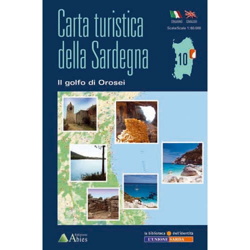
The Gulf of Orosei area in a series of contoured, GPS compatible maps at 1:60,000 from Ed. Abies, with extensive tourist information including special recreational routes plus additional coverage at more detailed scales of selected popular areas.*Main series at 1:60,000 (Nos. 1 to 12)*The maps have contours at 100m intervals and colouring for woodlands and
Monte Rosa – Alagna Valsesia – Rima San Giuseppe – Carcoforo Winter Sports Map
1:25,000 winter activity map to Monte Rosa, centred on Alagna Valsesia and Rima San Giuseppe, including Pecetto, Carcoforo and Riva Valdobbia. Published in association with the CAI, the Italian Alpine Club, who are responsible for the trails. Ski touring and snowshoe trails are marked on the map together with winter hiking routes and ski slopes.
Valsesia – Val Vogna – Val Sorba – Alpe di Mera Winter Sports Map
1:25,000 winter activity map to Valsesia, centred on Campertogno and Rassa, including Alagna Valsesia, Boccioleto, Mollia and Scopello. Published in association with the CAI, the Italian Alpine Club, who are responsible for the trails. Ski touring and snowshoe trails are marked on the map together with winter hiking routes and ski slopes. The key information
Val Formazza – Passo San Giacomo – Lago di Devero Winter Sports Map
1:25,000 winter activity map for Val Formazza, including Blinnenhorn Formazza and Monte Basocino. Published in association with the CAI, the Italian Alpine Club, who are responsible for the trails. Ski touring and snowshoe trails are marked on the map together with winter hiking routes and ski slopes. The key information and more detailed information on
Alpe Devero – Binntal – Alpe Devero – Baceno – San Domenico Winter Sports Map
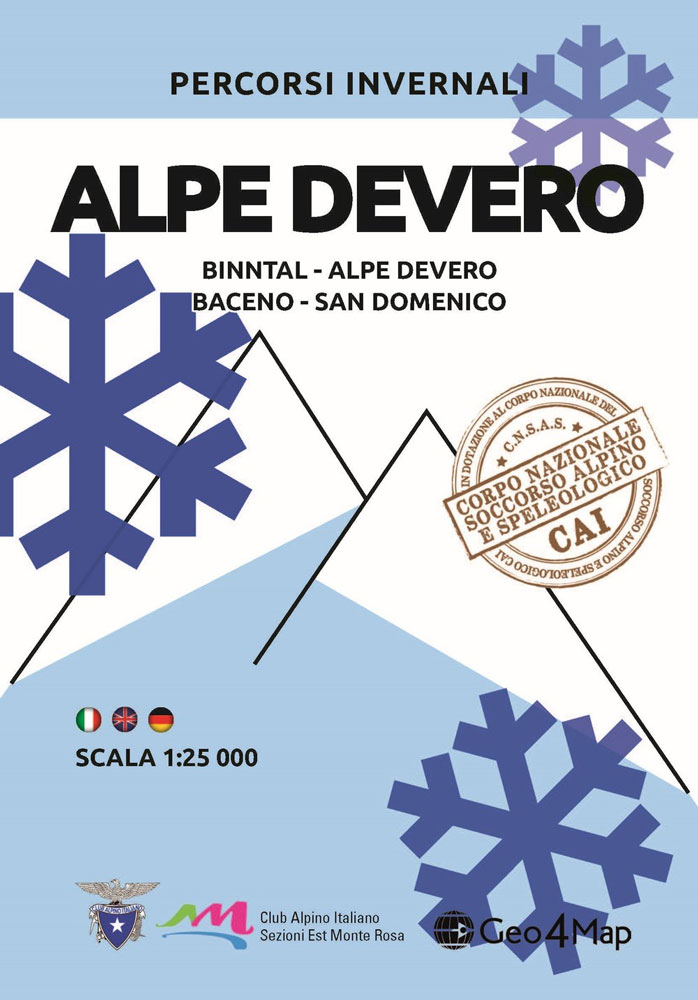
1:25,000 winter activity map to the west of Valle Antigorio and Val Formazza, centred on Monte Cervandone, including Goglio and Baceno. Published in association with the CAI, the Italian Alpine Club, who are responsible for the trails. Ski touring and snowshoe trails are marked on the map together with winter hiking routes and ski slopes.
Basse valli d`Ayas e del Lys L`Escursionista Editore 12
Valle Centrale – Saint-Barthรฉlemy, map No. 13, in a series of detailed, GPS compatible hiking maps of the Italian Alps from L’Escursionista Editore, highlighting hiking routes including the Via Ferrata climbing paths, campsites, refuges, shelters, etc. Maps in this L’Escursionista Editore series have clear, easy to read cartography based on the Italian topographic survey with
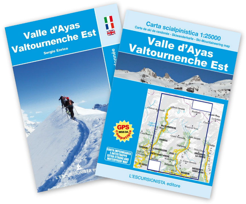
Valle d`Ayas – Valtournenche Est l`Escursionista Ski-Mountaineering Map
Monte Rosa – Ayas – Gressoney – Alagna L`Escursionista Editore 8
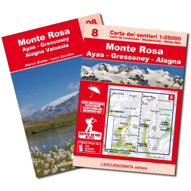
Monte Rosa – Breuil-Cervinia – Valtournenche – Gressoney, map No. 8, in a series of detailed, GPS compatible hiking maps of the Italian Alps from L’Escursionista Editore, highlighting hiking routes including the Via Ferrata climbing paths, campsites, refuges, shelters, etc. Coverage includes the upper valley of Ayas and Lys. A separate booklet provides descriptions of


