Category Archives: Maps
Mottarone – Lago d`Orta – Lago Maggiore Geo4Map 17
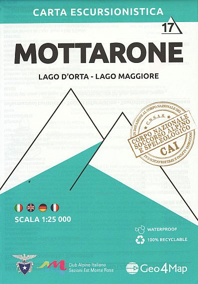
1:25,000 scale hiking map to Mottarone including Lago D`Orta and Lago Maggiore. Published in association with the CAI, the Italian Alpine Club, who are responsible for the trails. Trails are marked on the map. The key information and more detailed information on the rear of the sheet are in Italian, German and English. Printed on
Sallandse Heuvelrug National Park: Deventer – Raalte – Rijssen
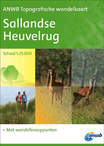
Sallandse Heuvelrug area of north Netherlands on a light, double-sided, waterproof and tear-resistant, GPS-compatible maps at 1:25,000 from ANWB, the country’s main motoring and touring organization, highlighting (where already established on the ground) the network of numbered junctions linking waymarked hiking trails, plus locations of TOPs (Tourist Transfer Points) where one can leave the car.
Gooi & Vechtstreek: Hilversum – Amersfoort – Utrecht
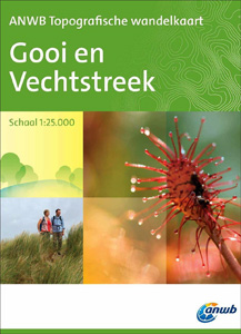
Gooi and Vechtstreek – a popular hiking area south-east of Amsterdam – on a light, double-sided, waterproof and tear-resistant, GPS-compatible maps at 1:25,000 from ANWB, the country’s main motoring and touring organization. Coverage on the northern side extends southwards from the historic town of Naarden, and west/east between the Amsterdam-Rhine Canal and Baarn; the southern
Valsesia – Riva Valdobbia – Campertogno – Mollia – Rassa – Scopelllo Geo4Map 1
1:25,000 hiking map to the south west of Valsesia including Riva Valdobbia, Campertogno, Mollia, Rassa, Scopelllo.Published in association with the CAI, the Italian Alpine Club, who are responsible for the trails. Trails are marked on the map. The key information and more detailed information on the rear of the sheet are in Italian, German and
Valle di Bognanco – NP Alpe Veglia Geo4Map 8
1:25,000 hiking map to the Valle di Bognanco including Iselle, Crevoladossola, Domodossola, Villadossola and Antronapiana. Published in association with the CAI, the Italian Alpine Club, who are responsible for the trails. Trails are marked on the map. The key information and more detailed information on the rear of the sheet are in Italian, German and
Val Divedro – Alpe Veglia – Bugliaga – Monte Cistella SUPERCEDED
1:25,000 hiking map to Val Divedro, centred on Iselle and including Crodo.Published in association with the CAI, the Italian Alpine Club, who are responsible for the trails. Trails are marked on the map. The key information and more detailed information on the rear of the sheet are in Italian, German and English. Printed on waterproof,
Valle Anzasca – Vanzone – Piedimulera Geo4Map 6

1:25,000 hiking map covering the east end of the Valle Anzasca, centred on Pieve Vergonte, including Villadossola and Anzola d`Ossola. Published in association with the CAI, the Italian Alpine Club, who are responsible for the hiking trails. Trails are marked on the map. The key information and more detailed information on the rear of the
Valsesia – Monte Rosa – Alagna Valsesia – Rima San Giuseppe – Carcoforo Geo4Map 4
1:25,000 hiking map to the north west of Valsesia centred on Rima San Giuseppe and Alagna Valsesia, including Monte Rosa, Carcoforo, Rimasco, Mollia and Riva Valdobbia.Published in association with the CAI, the Italian Alpine Club, who are responsible for the trails. Trails are marked on the map. The key information and more detailed information on


