Category Archives: Maps
Netherlands Falkplan Professional Road Map
Netherlands on a road map at 1:250,000 from Falk BV, with 22 enlargements showing in greater detail access to and through roads in main cities, 16 town centre street plans, three thematic maps and a distance table.The map is presented in the publishers’ special folding format designed to enable the user to open just a
Groningen – Lauwersmeer Falkplan Cycling Map
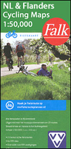
Groningen Province of the Netherlands at 1:50,000 in a series from Falk B.V. showing the network of signposted cycling routes on large, double-sided indexed maps with prominent highlighting of long-distance LF routes, symbols indicating accommodation and other tourist services, plus in each title two or more panels with recommended local circuits and additional tourist information.
Twente Falkplan Cycling Map 08

Twente region of the Netherlands at 1:50,000 in a series from Falk B.V. showing the network of signposted cycling routes on large, double-sided indexed maps with prominent highlighting of long-distance LF routes, symbols indicating accommodation and other tourist services, plus in each title two or more panels with recommended local circuits and additional tourist information.
Achterhoek Falkplan Cycling Map 10

Achterhoek region of the Netherlands at 1:50,000 in a series from Falk B.V. showing the network of signposted cycling routes on large, double-sided indexed maps with prominent highlighting of long-distance LF routes, symbols indicating accommodation and other tourist services, plus in each title two or more panels with recommended local circuits and additional tourist information.
Inland Waterways Map of the Netherlands

Inland Waterways Map of the Netherlands at 1:320,000 from the ANWB, the country’s main motoring organization also responsible for maintenance of much of the recreational infrastructure and publishing of maps and guides for recreational pursuits.The map presents inland waterways of the Netherlands on a base showing the country’s road network. Navigable waterways are classified according
Rivierenland – De Biesbosch – Rijk van Nijmegen Falkplan Cycling Map 11

The Great Rivers of Gelderland region of the Netherlands at 1:50,000 in a series from Falk B.V. showing the network of signposted cycling routes on large, double-sided indexed maps with prominent highlighting of long-distance LF routes, symbols indicating accommodation and other tourist services, plus in each title two or more panels with recommended local circuits
Amsterdam Falkplan Street Plan and Cycling Map
Amsterdam with outer suburbs at 1:1:14,500 from Falk B.V., Netherlands’ leading publishers of street plans, plus an enlargement at 1:7,500 of the city’s central part, both with one way streets and traffic restrictions.The main plan covers Amsterdam with its outer suburbs, extending west to include the docks and Osdorp and south beyond the A10 to
Utrecht Hills – `t Gooi – Vecht area Falkplan Cycling Map 12

Utrecht Hill Ridge region of the Netherlands at 1:50,000 in a series from Falk B.V. showing the network of signposted cycling routes on large, double-sided indexed maps with prominent highlighting of long-distance LF routes, symbols indicating accommodation and other tourist services, plus in each title two or more panels with recommended local circuits and additional
Zeelandic Flanders – Meetjesland and Waasland Falkplan Cycling Map 31
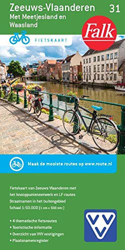
The Dutch province of Zeeland south of the Scheldt Estuary and the northern part of the East Flanders province of Belgium at 1:50,000 in a series from Falk B.V. showing the network of signposted cycling routes on large, double-sided indexed maps with prominent highlighting of long-distance LF routes, symbols indicating accommodation and other tourist services,
Amsterdam Falkplan Street Plan
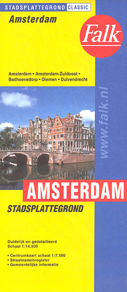
Amsterdam with outer suburbs at 1:1:14,500 from Falk B.V., Netherlands’ leading publishers of street plans, plus an enlargement at 1:7,500 of the city’s central part, both with one way streets and traffic restrictions.The main plan covers Amsterdam with its outer suburbs, extending west to include the docks and Osdorp and south beyond the A10 to
Ardennes Falkplan Cycling Map 37
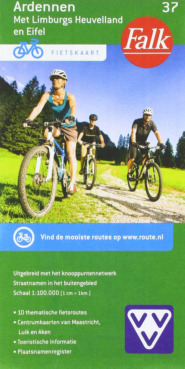
Brussels region and the eastern part of the Flemish Brabant province of Belgium at 1:50,000 in a series from Falk B.V. showing the network of signposted cycling routes on large, double-sided indexed maps with prominent highlighting of long-distance LF routes, symbols indicating accommodation and other tourist services, plus in each title two or more panels
Drenthe East – Southeast Groningen Falkplan Cycling Map

The eastern part of the Drenthe Province in the Netherlands at 1:50,000 in a series from Falk B.V. showing the network of signposted cycling routes on large, double-sided indexed maps with prominent highlighting of long-distance LF routes, symbols indicating accommodation and other tourist services, plus in each title two or more panels with recommended local
Dunes of the Central Holland 22
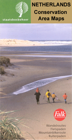
The Dunes of the Central Holland Province of the Netherlands in a series of walking and cycling maps at 1:25,000 ‘“ 1:35,000, published by Falk BV in cooperation with Staatsbosbeheer ‘“ Dutch government’s organization for forestry and the management of nature reserves.Colouring indicates different types of vegetation or terrain: woodland, pastures, heath or sand dunes.
Walcheren

Walcheren area of the Netherlands in a series of walking and cycling maps at 1:25,000 ‘“ 1:35,000, published by Falk BV in cooperation with Staatsbosbeheer ‘“ Dutch government’s organization for forestry and the management of nature reserves.Colouring indicates different types of vegetation or terrain: woodland, pastures, heath or sand dunes. Given the topography of most


