Category Archives: Maps
Belgian Limburg Cycling Map
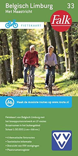
The Limburg province of Belgium at 1:50,000 in a series from Falk B.V. showing the network of signposted cycling routes on large, double-sided indexed maps with prominent highlighting of long-distance LF routes, symbols indicating accommodation and other tourist services, plus in each title two or more panels with recommended local circuits and additional tourist information.
Belgian Coast Cycling Map 30

The coast of Belgium at 1:50,000 in a series from Falk B.V. showing the network of signposted cycling routes on large, double-sided indexed maps with prominent highlighting of long-distance LF routes, symbols indicating accommodation and other tourist services, plus in each title two or more panels with recommended local circuits and additional tourist information. The
Rijk van Nijmegen
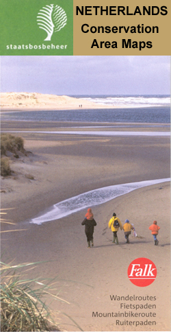
Rijk van Nijmegen area of the Netherlands in a series of walking and cycling maps at 1:25,000 ‘“ 1:35,000, published by Falk BV in cooperation with Staatsbosbeheer ‘“ Dutch government’s organization for forestry and the management of nature reserves.Colouring indicates different types of vegetation or terrain: woodland, pastures, heath or sand dunes. Given the topography
Brabant West and Central Cycling Map
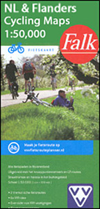
The central and western part of the North Brabant Province of the Netherlands at 1:50,000 in a series from Falk B.V. showing the network of signposted cycling routes on large, double-sided indexed maps with prominent highlighting of long-distance LF routes, symbols indicating accommodation and other tourist services, plus in each title two or more panels
Schouwen Duiveland

Schouwen Duiveland area of the Netherlands in a series of walking and cycling maps at 1:25,000 ‘“ 1:35,000, published by Falk BV in cooperation with Staatsbosbeheer ‘“ Dutch government’s organization for forestry and the management of nature reserves.Colouring indicates different types of vegetation or terrain: woodland, pastures, heath or sand dunes. Given the topography of
Drenthe East Cycling Map

The eastern part of the Drenthe Province in the Netherlands at 1:50,000 in a series from Falk B.V. showing the network of signposted cycling routes on large, double-sided indexed maps with prominent highlighting of long-distance LF routes, symbols indicating accommodation and other tourist services, plus in each title two or more panels with recommended local
West Frisian Islands Falkplan Cycling Map
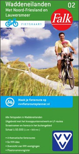
West Frisian Islands in the Netherlands at 1:50,000 in a series from Falk B.V. showing the network of signposted cycling routes on large, double-sided indexed maps with prominent highlighting of long-distance LF routes, symbols indicating accommodation and other tourist services, plus in each title two or more panels with recommended local circuits and additional tourist
South Limburg

The southern tip of the Limburg Province of the Netherlands in a series of walking and cycling maps at 1:25,000 ‘“ 1:35,000, published by Falk BV in cooperation with Staatsbosbeheer ‘“ Dutch government’s organization for forestry and the management of nature reserves.Colouring indicates different types of vegetation or terrain: woodland, pastures, heath or sand dunes.
Amsterdam Citymap & More
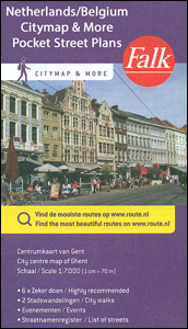
Amsterdam in a series of handy size, detailed and indexed city centre street plans of main towns in the Netherlands and Flanders including Brussels from Falk, highlighting recommended walks and places of interest, with six best sights prominently marked and cross-referenced to brief descriptions. The plans also indicate publishers’ recommendations for shopping and/or bars and
Lauwersmeer

Lauwersmeer area Friesland in the Netherlands in a series of walking and cycling maps at 1:25,000 ‘“ 1:35,000, published by Falk BV in cooperation with Staatsbosbeheer ‘“ Dutch government’s organization for forestry and the management of nature reserves.Colouring indicates different types of vegetation or terrain: woodland, pastures, heath or sand dunes. Given the topography of
De Vuursche

De Vuursche area of the Netherlands in a series of walking and cycling maps at 1:25,000 ‘“ 1:35,000, published by Falk BV in cooperation with Staatsbosbeheer ‘“ Dutch government’s organization for forestry and the management of nature reserves.Colouring indicates different types of vegetation or terrain: woodland, pastures, heath or sand dunes. Given the topography of
De Peel

De Peel area of the Netherlands in a series of walking and cycling maps at 1:25,000 ‘“ 1:35,000, published by Falk BV in cooperation with Staatsbosbeheer ‘“ Dutch government’s organization for forestry and the management of nature reserves.Colouring indicates different types of vegetation or terrain: woodland, pastures, heath or sand dunes. Given the topography of
De Biesbosch

De Biesbosch area of the Netherlands in a series of walking and cycling maps at 1:25,000 ‘“ 1:35,000, published by Falk BV in cooperation with Staatsbosbeheer ‘“ Dutch government’s organization for forestry and the management of nature reserves.Colouring indicates different types of vegetation or terrain: woodland, pastures, heath or sand dunes. Given the topography of
Meinweg – Leudal

Meinweg – Leudal area of the Netherlands in a series of walking and cycling maps at 1:25,000 ‘“ 1:35,000, published by Falk BV in cooperation with Staatsbosbeheer ‘“ Dutch government’s organization for forestry and the management of nature reserves.Colouring indicates different types of vegetation or terrain: woodland, pastures, heath or sand dunes. Given the topography
De Weerribben

De Weerribben area of the Netherlands in a series of walking and cycling maps at 1:25,000 ‘“ 1:35,000, published by Falk BV in cooperation with Staatsbosbeheer ‘“ Dutch government’s organization for forestry and the management of nature reserves.Colouring indicates different types of vegetation or terrain: woodland, pastures, heath or sand dunes. Given the topography of
Netherlands Falk Maxi Road Atlas A4 SPIRALBOUND
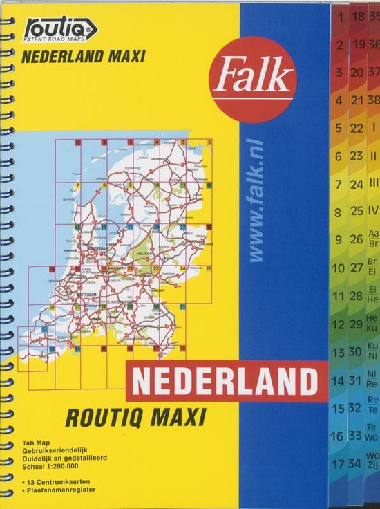
Road atlas of the Netherlands at 1:200,000 from Falk BV, in a spiral-bound format slightly smaller than A4, providing exceptionally quick access to the coverage of different parts of the country and its index through cleverly-designed presentation, plus city-centre street plans and access maps for eight town and ‘insiders tips’ for the four main cities.The
Achterhoek North

The Northern part of the Achterhoek Province of the Netherlands in a series of walking and cycling maps at 1:25,000 ‘“ 1:35,000, published by Falk BV in cooperation with Staatsbosbeheer ‘“ Dutch government’s organization for forestry and the management of nature reserves.Colouring indicates different types of vegetation or terrain: woodland, pastures, heath or sand dunes.
Drenthe West Cycling Map
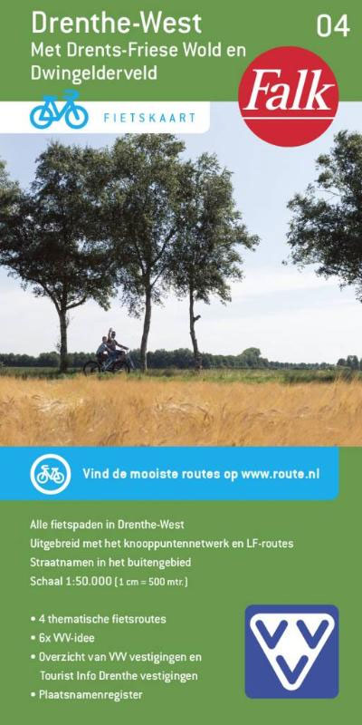
The western part of the Drenthe Province in the Netherlands at 1:50,000 in a series from Falk B.V. showing the network of signposted cycling routes on large, double-sided indexed maps with prominent highlighting of long-distance LF routes, symbols indicating accommodation and other tourist services, plus in each title two or more panels with recommended local
Vechtdal and Salland Cycling Map
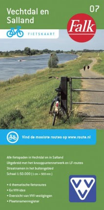
Vechtdal and Salland regions of the Netherlands at 1:50,000 in a series from Falk B.V. showing the network of signposted cycling routes on large, double-sided indexed maps with prominent highlighting of long-distance LF routes, symbols indicating accommodation and other tourist services, plus in each title two or more panels with recommended local circuits and additional


