Category Archives: Maps
Schiermonnikoog East

Kadaster, Holland`s national survey organization, produces one of the most attractive topographic surveys in Europe. The maps are very colourful, with their characteristic patchwork of polders and an unusually large amount of land use information: meadows, arable land, different types of forest, marshes, sand dunes, etc. Contours are shown at 5-metre intervals with numerous spot
The Brabant Kempen
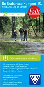
The Brabant Kempen map in 1:33,000 belong to a series of eleven walking from Falk, which cover the most beautiful hiking areas in four regions: North Brabant in the south, the tip of North Holland, Friesland and Groningen in the north of the country.The Brabant Kempen map covers an area of about 24 x 16
De Acht Zaligheden
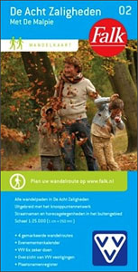
“De Acht Zaligheden” map in 1:25,000 belong to a series of eleven walking from Falk, which cover the most beautiful hiking areas in four regions: North Brabant in the south, the tip of North Holland, Friesland and Groningen in the north of the country.”De Acht Zaligheden” (the eight beauties) map covers an area of approximately
North Frysian Woodlands
North Frisian Woodlands, east of Leeuwarden in the Netherlands in a series of walking and cycling maps at 1:25,000 ‘“ 1:35,000, published by Falk BV in cooperation with Staatsbosbeheer ‘“ Dutch government’s organization for forestry and the management of nature reserves.Colouring indicates different types of vegetation or terrain: woodland, pastures, heath or sand dunes. Given
Het Groene Woud

Het Groene Woud” map in 1:25,000 belong to a series of eleven walking from Falk, which cover the most beautiful hiking areas in four regions: North Brabant in the south, the tip of North Holland, Friesland and Groningen in the north of the country.’Het Groene Woud” (the green forest) map covers an area of approximately
Delft Citymap & More
Delft in a series of handy size, detailed and indexed city centre street plans of main towns in the Netherlands and Flanders including Brussels from Falk, highlighting recommended walks and places of interest, with six best sights prominently marked and cross-referenced to brief descriptions. The plans also indicate publishers’ recommendations for shopping and/or bars and
Haarlem – Zandvoort aan Zee Citymap & More
Haarlem and Zandvoort in a series of handy size, detailed and indexed city centre street plans of main towns in the Netherlands and Flanders including Brussels from Falk, highlighting recommended walks and places of interest, with six best sights prominently marked and cross-referenced to brief descriptions. The plans also indicate publishers’ recommendations for shopping and/or
Antwerp Kempen Falkplan Cycling Map 32
The Antwerp province of Belgium at 1:50,000 in a series from Falk B.V. showing the network of signposted cycling routes on large, double-sided indexed maps with prominent highlighting of long-distance LF routes, symbols indicating accommodation and other tourist services, plus in each title two or more panels with recommended local circuits and additional tourist information.
Belgian Limburg Cycling Map
The Limburg province of Belgium at 1:50,000 in a series from Falk B.V. showing the network of signposted cycling routes on large, double-sided indexed maps with prominent highlighting of long-distance LF routes, symbols indicating accommodation and other tourist services, plus in each title two or more panels with recommended local circuits and additional tourist information.
Belgian Coast Cycling Map 30

The coast of Belgium at 1:50,000 in a series from Falk B.V. showing the network of signposted cycling routes on large, double-sided indexed maps with prominent highlighting of long-distance LF routes, symbols indicating accommodation and other tourist services, plus in each title two or more panels with recommended local circuits and additional tourist information. The
Flemish Brabant Falkplan Cycling Map 36

Brussels region and the eastern part of the Flemish Brabant province of Belgium at 1:50,000 in a series from Falk B.V. showing the network of signposted cycling routes on large, double-sided indexed maps with prominent highlighting of long-distance LF routes, symbols indicating accommodation and other tourist services, plus in each title two or more panels
Bruges Citymap & More
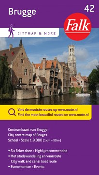
Bruges in a series of handy size, detailed and indexed city centre street plans of main towns in the Netherlands and Flanders including Brussels from Falk, highlighting recommended walks and places of interest, with six best sights prominently marked and cross-referenced to brief descriptions. The plans also indicate publishers’ recommendations for shopping and/or bars and
Leuven Citymap & More
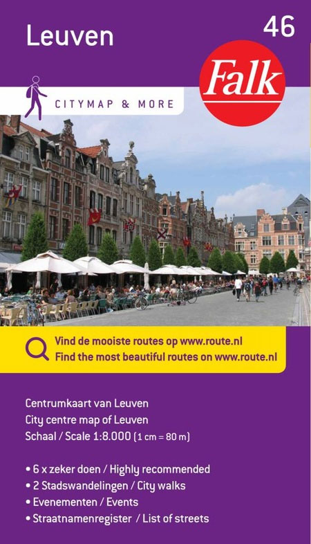
Leuven in a series of handy size, detailed and indexed city centre street plans of main towns in the Netherlands and Flanders including Brussels from Falk, highlighting recommended walks and places of interest, with six best sights prominently marked and cross-referenced to brief descriptions. The plans also indicate publishers’ recommendations for shopping and/or bars and
North West Friesland
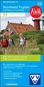
North West Friesland” map in 1:25,000 belong to a series of eleven walking from Falk, which cover the most beautiful hiking areas in four regions: North Brabant in the south, the tip of North Holland, Friesland and Groningen in the north of the country.’North West Friesland” map covers part of the Frisian Islands and a
Maastricht – Valkenburg Citymap & More
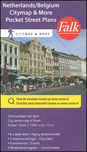
Maastricht and Valkenburg in a series of handy size, detailed and indexed city centre street plans of main towns in the Netherlands and Flanders including Brussels from Falk, highlighting recommended walks and places of interest, with six best sights prominently marked and cross-referenced to brief descriptions. The plans also indicate publishers’ recommendations for shopping and/or
North East Friesland
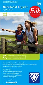
North East Friesland” map in 1:25,000 belong to a series of eleven walking from Falk, which cover the most beautiful hiking areas in which cover the most beautiful hiking areas in four regions: North Brabant in the south, the tip of North Holland, Friesland and Groningen in the north of the country.’North East Friesland” map
Rotterdam Falkplan Citymap & More
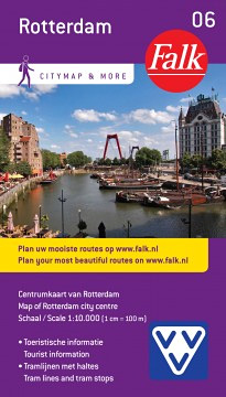
Central Rotterdam in a series of handy size, detailed and indexed city centre street plans of main towns in the Netherlands and Flanders including Brussels from Falk BV, highlighting recommended walks and places of interest, with six best sights prominently marked and cross-referenced to brief descriptions. The plans also indicate publishers’ recommendations for shopping and/or
North East Groningen
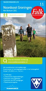
North East Groningen” map in 1:25,000 belong to a series of eleven walking from Falk, which cover the most beautiful hiking areas in four regions: North Brabant in the south, the tip of North Holland, Friesland and Groningen in the north of the country.’North East Groningen” map covers part of the Frisian Islands and a


