Category Archives: Maps
Uithuizen East

Kadaster, Holland`s national survey organization, produces one of the most attractive topographic surveys in Europe. The maps are very colourful, with their characteristic patchwork of polders and an unusually large amount of land use information: meadows, arable land, different types of forest, marshes, sand dunes, etc. Contours are shown at 5-metre intervals with numerous spot
Veluwe Falkplan Cycling Map 09
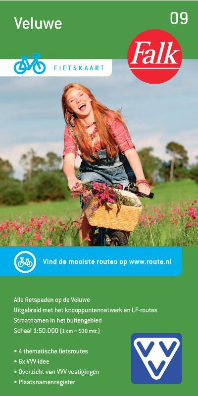
Veluwe region of the Netherlands at 1:50,000 in a series from Falk B.V. showing the network of signposted cycling routes on large, double-sided indexed maps with prominent highlighting of long-distance LF routes, symbols indicating accommodation and other tourist services, plus in each title two or more panels with recommended local circuits and additional tourist information.
North Holland – with Kennemerland Falkplan Cycling Map 13

North Holland Province of the Netherlands at 1:50,000 in a series from Falk B.V. showing the network of signposted cycling routes on large, double-sided indexed maps with prominent highlighting of long-distance LF routes, symbols indicating accommodation and other tourist services, plus in each title two or more panels with recommended local circuits and additional tourist
Zeeland Islands with Zeelandic Flanders Falkplan Cycling Map 16
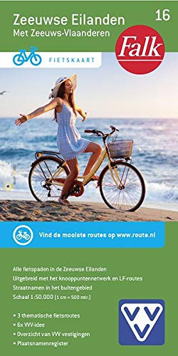
Zeeland Province of the Netherlands at 1:50,000 in a series from Falk B.V. showing the network of signposted cycling routes on large, double-sided indexed maps with prominent highlighting of long-distance LF routes, symbols indicating accommodation and other tourist services, plus in each title two or more panels with recommended local circuits and additional tourist information.
Terschelling West

Kadaster, Holland`s national survey organization, produces one of the most attractive topographic surveys in Europe. The maps are very colourful, with their characteristic patchwork of polders and an unusually large amount of land use information: meadows, arable land, different types of forest, marshes, sand dunes, etc. Contours are shown at 5-metre intervals with numerous spot
Terschelling East

Kadaster, Holland`s national survey organization, produces one of the most attractive topographic surveys in Europe. The maps are very colourful, with their characteristic patchwork of polders and an unusually large amount of land use information: meadows, arable land, different types of forest, marshes, sand dunes, etc. Contours are shown at 5-metre intervals with numerous spot
Schiermonnikoog West

Kadaster, Holland`s national survey organization, produces one of the most attractive topographic surveys in Europe. The maps are very colourful, with their characteristic patchwork of polders and an unusually large amount of land use information: meadows, arable land, different types of forest, marshes, sand dunes, etc. Contours are shown at 5-metre intervals with numerous spot
Schiermonnikoog East

Kadaster, Holland`s national survey organization, produces one of the most attractive topographic surveys in Europe. The maps are very colourful, with their characteristic patchwork of polders and an unusually large amount of land use information: meadows, arable land, different types of forest, marshes, sand dunes, etc. Contours are shown at 5-metre intervals with numerous spot
Netherlands Falkplan Routiq Road Atlas
Road atlas of the Netherlands at 1:300,000 from Falk BV, in a spiral-bound glovebox format slightly larger than A5, providing exceptionally quick access to the coverage of different parts of the country and its index through cleverly-designed presentation, plus city-centre street plans and access maps for eight town and ‘insiders tips’ for the four main
Uithuizen West

Kadaster, Holland`s national survey organization, produces one of the most attractive topographic surveys in Europe. The maps are very colourful, with their characteristic patchwork of polders and an unusually large amount of land use information: meadows, arable land, different types of forest, marshes, sand dunes, etc. Contours are shown at 5-metre intervals with numerous spot


