Category Archives: Maps
Chihuahua
Topographic mapping from Mexico’s national survey agency, Instituto Nacional de Estadรญstica, Geografรญa e Informรกtica. The maps have contours at 20m intervals with relief shading and indicate various types of terrain and vegetation, e.g. dense vegetation, cultivated areas, swamps, sand dunes, salt pans, etc. UTM grid is at 10km intervals, with latitude and longitude shown by
Fresnillo
Topographic mapping from Mexico’s national survey agency, Instituto Nacional de Estadรญstica, Geografรญa e Informรกtica. The maps have contours at 20m intervals with relief shading and indicate various types of terrain and vegetation, e.g. dense vegetation, cultivated areas, swamps, sand dunes, salt pans, etc. UTM grid is at 10km intervals, with latitude and longitude shown by
Ciudad Camargo
Topographic mapping from Mexico’s national survey agency, Instituto Nacional de Estadรญstica, Geografรญa e Informรกtica. The maps have contours at 20m intervals with relief shading and indicate various types of terrain and vegetation, e.g. dense vegetation, cultivated areas, swamps, sand dunes, salt pans, etc. UTM grid is at 10km intervals, with latitude and longitude shown by
Frontera
Topographic mapping from Mexico’s national survey agency, Instituto Nacional de Estadรญstica, Geografรญa e Informรกtica. The maps have contours at 20m intervals with relief shading and indicate various types of terrain and vegetation, e.g. dense vegetation, cultivated areas, swamps, sand dunes, salt pans, etc. UTM grid is at 10km intervals, with latitude and longitude shown by
Ciudad del Carmen
Topographic mapping from Mexico’s national survey agency, Instituto Nacional de Estadรญstica, Geografรญa e Informรกtica. The maps have contours at 20m intervals with relief shading and indicate various types of terrain and vegetation, e.g. dense vegetation, cultivated areas, swamps, sand dunes, salt pans, etc. UTM grid is at 10km intervals, with latitude and longitude shown by
Cuachochi
Topographic mapping from Mexico’s national survey agency, Instituto Nacional de Estadรญstica, Geografรญa e Informรกtica. The maps have contours at 20m intervals with relief shading and indicate various types of terrain and vegetation, e.g. dense vegetation, cultivated areas, swamps, sand dunes, salt pans, etc. UTM grid is at 10km intervals, with latitude and longitude shown by
Ciudad Delicias
Topographic mapping from Mexico’s national survey agency, Instituto Nacional de Estadรญstica, Geografรญa e Informรกtica. The maps have contours at 20m intervals with relief shading and indicate various types of terrain and vegetation, e.g. dense vegetation, cultivated areas, swamps, sand dunes, salt pans, etc. UTM grid is at 10km intervals, with latitude and longitude shown by
Guaymas
Topographic mapping from Mexico’s national survey agency, Instituto Nacional de Estadรญstica, Geografรญa e Informรกtica. The maps have contours at 20m intervals with relief shading and indicate various types of terrain and vegetation, e.g. dense vegetation, cultivated areas, swamps, sand dunes, salt pans, etc. UTM grid is at 10km intervals, with latitude and longitude shown by
Ciudad Juarez
Topographic mapping from Mexico’s national survey agency, Instituto Nacional de Estadรญstica, Geografรญa e Informรกtica. The maps have contours at 20m intervals with relief shading and indicate various types of terrain and vegetation, e.g. dense vegetation, cultivated areas, swamps, sand dunes, salt pans, etc. UTM grid is at 10km intervals, with latitude and longitude shown by
Ciudad Mante
Topographic mapping from Mexico’s national survey agency, Instituto Nacional de Estadรญstica, Geografรญa e Informรกtica. The maps have contours at 20m intervals with relief shading and indicate various types of terrain and vegetation, e.g. dense vegetation, cultivated areas, swamps, sand dunes, salt pans, etc. UTM grid is at 10km intervals, with latitude and longitude shown by
Ciudad Obregon
Topographic mapping from Mexico’s national survey agency, Instituto Nacional de Estadรญstica, Geografรญa e Informรกtica. The maps have contours at 20m intervals with relief shading and indicate various types of terrain and vegetation, e.g. dense vegetation, cultivated areas, swamps, sand dunes, salt pans, etc. UTM grid is at 10km intervals, with latitude and longitude shown by
Ciudad Valles
Topographic mapping from Mexico’s national survey agency, Instituto Nacional de Estadรญstica, Geografรญa e Informรกtica. The maps have contours at 20m intervals with relief shading and indicate various types of terrain and vegetation, e.g. dense vegetation, cultivated areas, swamps, sand dunes, salt pans, etc. UTM grid is at 10km intervals, with latitude and longitude shown by
Ciudad Victoria
Topographic mapping from Mexico’s national survey agency, Instituto Nacional de Estadรญstica, Geografรญa e Informรกtica. The maps have contours at 20m intervals with relief shading and indicate various types of terrain and vegetation, e.g. dense vegetation, cultivated areas, swamps, sand dunes, salt pans, etc. UTM grid is at 10km intervals, with latitude and longitude shown by
Buenaventura
Topographic mapping from Mexico’s national survey agency, Instituto Nacional de Estadรญstica, Geografรญa e Informรกtica. The maps have contours at 20m intervals with relief shading and indicate various types of terrain and vegetation, e.g. dense vegetation, cultivated areas, swamps, sand dunes, salt pans, etc. UTM grid is at 10km intervals, with latitude and longitude shown by
Caborca
Topographic mapping from Mexico’s national survey agency, Instituto Nacional de Estadรญstica, Geografรญa e Informรกtica. The maps have contours at 20m intervals with relief shading and indicate various types of terrain and vegetation, e.g. dense vegetation, cultivated areas, swamps, sand dunes, salt pans, etc. UTM grid is at 10km intervals, with latitude and longitude shown by
Calkini
Topographic mapping from Mexico’s national survey agency, Instituto Nacional de Estadรญstica, Geografรญa e Informรกtica. The maps have contours at 20m intervals with relief shading and indicate various types of terrain and vegetation, e.g. dense vegetation, cultivated areas, swamps, sand dunes, salt pans, etc. UTM grid is at 10km intervals, with latitude and longitude shown by
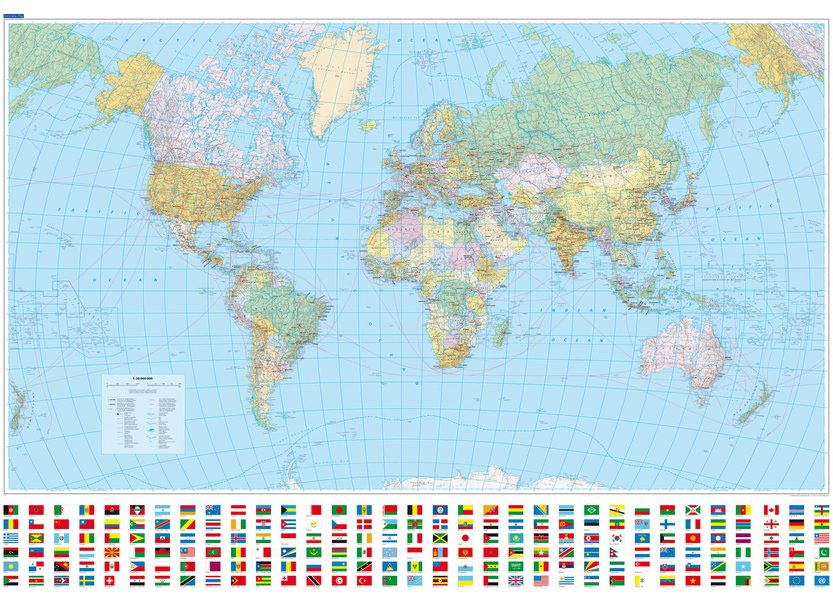
World K+F Political 30M Wall Map MEDIUM PIN-BOARD

Political map of the world from Kรผmmerly+Frey, size 140 x 99cm (55″ x 39″ approx) ‘“ on pin board, with countries in pleasant pastel colours against light blue seas, a presentation which will appeal to anyone who prefers gentler shades. Subtle relief shading with plenty of names of topographic features provides physical information.The map has
Campeche
Topographic mapping from Mexico’s national survey agency, Instituto Nacional de Estadรญstica, Geografรญa e Informรกtica. The maps have contours at 20m intervals with relief shading and indicate various types of terrain and vegetation, e.g. dense vegetation, cultivated areas, swamps, sand dunes, salt pans, etc. UTM grid is at 10km intervals, with latitude and longitude shown by
World K+F Physical 30M Wall Map MEDIUM MAGNETIC-BOARD
Political map of the world from Kรผmmerly+Frey, size 140 x 99cm (55″ x 39″ approx) ‘“ on magnetic board, with countries in pleasant pastel colours against light blue seas, a presentation which will appeal to anyone who prefers gentler shades. Subtle relief shading with plenty of names of topographic features provides physical information.The map has
Cananea
Topographic mapping from Mexico’s national survey agency, Instituto Nacional de Estadรญstica, Geografรญa e Informรกtica. The maps have contours at 20m intervals with relief shading and indicate various types of terrain and vegetation, e.g. dense vegetation, cultivated areas, swamps, sand dunes, salt pans, etc. UTM grid is at 10km intervals, with latitude and longitude shown by