Category Archives: Maps
Limburg (B) Province
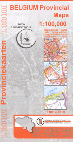
Limburg Province of Belgium at 1:100,000 in a series of GPS compatible topographic maps from the Nationaal Geografisch Instituut/Institut Gรฉographique National, the country’s national survey organization, each with a separate index booklet covering the whole country.Described by the publishers as a topographic series, the maps do carry all the information expected of topographic mapping at
Bouillon – Dohan
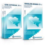
Topographical survey of Belgium at 1:20,000 from Nationaal Geografisch Instituut / Institut Gรฉographique National, the country’s national survey organization. Each 20K map covers one quarter of the corresponding 1:50,000 map (with adjustments in the border and coastal areas). The maps provide all the information expected of topographic mapping at this scale and additionally have an
Terneuzen West

Kadaster, Holland`s national survey organization, produces one of the most attractive topographic surveys in Europe. The maps are very colourful, with their characteristic patchwork of polders and an unusually large amount of land use information: meadows, arable land, different types of forest, marshes, sand dunes, etc. Contours are shown at 5-metre intervals with numerous spot
Terneuzen East

Kadaster, Holland`s national survey organization, produces one of the most attractive topographic surveys in Europe. The maps are very colourful, with their characteristic patchwork of polders and an unusually large amount of land use information: meadows, arable land, different types of forest, marshes, sand dunes, etc. Contours are shown at 5-metre intervals with numerous spot
Sittard West

Kadaster, Holland`s national survey organization, produces one of the most attractive topographic surveys in Europe. The maps are very colourful, with their characteristic patchwork of polders and an unusually large amount of land use information: meadows, arable land, different types of forest, marshes, sand dunes, etc. Contours are shown at 5-metre intervals with numerous spot
Sittard East

Kadaster, Holland`s national survey organization, produces one of the most attractive topographic surveys in Europe. The maps are very colourful, with their characteristic patchwork of polders and an unusually large amount of land use information: meadows, arable land, different types of forest, marshes, sand dunes, etc. Contours are shown at 5-metre intervals with numerous spot


