Category Archives: Maps
Cycling through Tuscany and Umbria to Rome
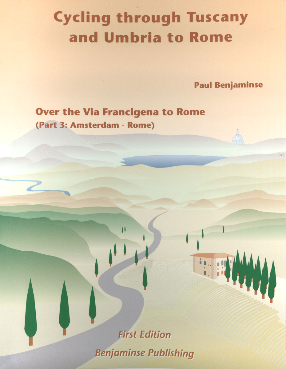
Florence to Rome. The third and last part about the cycle route from Amsterdam to Rome. The route is characterized by incredible landscapes, quiet roads that avoid the noise and hustle and bustle. This bike guide is also used by hikers for the route to Rome. All maps feature relief and afforestation. With city and
Champagne: Reims – the Aisne Valley
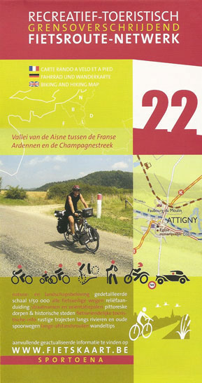
The Valleys of the Meuse and the Chiers in a series of cycling maps from Sportoena covering Belgium and the adjoining regions of the neighbouring countries, with local routes, long-distance cycling paths, classification according to the density of traffic, campsites and places of interest, etc.Brightly coloured base and the presentation of the road network differ
Kinshasa
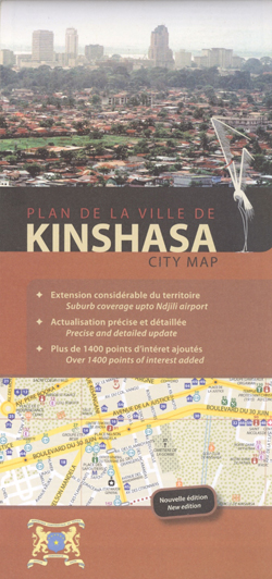
Kinshasa with its outer suburbs on a large, index street plan a 1:18,500 from Aquaterra, with very extensive lists of institutions, services, and sights, plus a list of old colonial names with their current replacements.Coverage of the main plan is extended further south-east to include the city’s international airport. Public transport routes are shown with
The Valleys of the Meuse and the Chiers
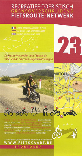
Champagne: Reims – the Aisne Valley area in a series of cycling maps from Sportoena covering Belgium and the adjoining regions of the neighbouring countries, with local routes, long-distance cycling paths, classification according to the density of traffic, campsites and places of interest, etc.Brightly coloured base and the presentation of the road network differ greatly
Luxembourg Province
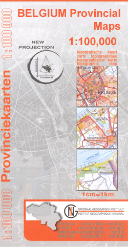
Luxembourg Province of Belgium on a double-sided map at 1:100,000 in a series of GPS compatible topographic maps from the Nationaal Geografisch Instituut/Institut Gรฉographique National, the country’s national survey organization, each with a separate index booklet covering the whole country.Described by the publishers as a topographic series, the maps do carry all the information expected
East Flanders Province

East Flanders Province on a double-sided map at 1:100,000 in a series of GPS compatible topographic maps from the Nationaal Geografisch Instituut/Institut Gรฉographique National, Belgium’s national survey organization, each with a separate index booklet covering the whole country.Described by the publishers as a topographic series, the maps do carry all the information expected of topographic
West Flanders Province

West Flanders Province on a double-sided map at 1:100,000 in a series of GPS compatible topographic maps from the Nationaal Geografisch Instituut/Institut Gรฉographique National, Belgium`s national survey organization, each with a separate index booklet covering the whole country.Described by the publishers as a topographic series, the maps do carry all the information expected of topographic
Antwerp Province

Antwerp Province at 1:100,000 in a series of GPS compatible topographic maps from the Nationaal Geografisch Instituut/Institut Gรฉographique National, Belgium`s national survey organization, each with a separate index booklet covering the whole country.Described by the publishers as a topographic series, the maps do carry all the information expected of topographic mapping at this scale, but
Brabant Provinces (Flemish and Wallon) and Brussels Region

Brabant Provinces (Flemish and Wallon) and Brussels Region at 1:100,000 in a series of GPS compatible topographic maps from the Nationaal Geografisch Instituut/Institut Gรฉographique National, Belgium`s national survey organization, each with a separate index booklet covering the whole country.Described by the publishers as a topographic series, the maps do carry all the information expected of
Bilzen – Lanaken
Topographical survey of Belgium at 1:20,000 from Nationaal Geografisch Instituut / Institut Gรฉographique National, the country’s national survey organization. Each 20K map covers one quarter of the corresponding 1:50,000 map (with adjustments in the border and coastal areas). The maps provide all the information expected of topographic mapping at this scale and additionally have an
Texel
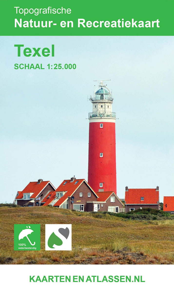
The entire island of Texel is featured on this two-sided GPS compatible walking map at 1:25,000 in a series of maps with extensive overprint for long-distance and local walking routes.This map is printed on environmentally friendly paper and is waterproof and tear-resistant.Varied colouring show different types of landscape. Symbols indicate various facilities. Maps have the
Tongeren – Herderen
Topographical survey of Belgium at 1:20,000 from Nationaal Geografisch Instituut / Institut Gรฉographique National, the country’s national survey organization. Each 20K map covers one quarter of the corresponding 1:50,000 map (with adjustments in the border and coastal areas). The maps provide all the information expected of topographic mapping at this scale and additionally have an
Gemmenich – Botzelaar
Topographical survey of Belgium at 1:20,000 from Nationaal Geografisch Instituut / Institut Gรฉographique National, the country’s national survey organization. Each 20K map covers one quarter of the corresponding 1:50,000 map (with adjustments in the border and coastal areas). The maps provide all the information expected of topographic mapping at this scale and additionally have an
Camps and Other Nazi Detention Places Map
Camps and Other Nazi Detention Places map from Belgium’s national survey organization shows the territory of pre-WWII Germany plus present day Poland, Czech Republic, Austria, Netherlands, Belgium and the north-eastern corner of France. Background colouring indicates pre-Anschluss Germany in 1937, the territory of the Nazi Germany and its directly annexed areas in 1942 including the
Antwerp NGI Topo 15
Topographical survey of Belgium at 1:50,000 from the country’s national survey organization, Nationaal Geografisch Instituut / Institut Gรฉographique National. Contour interval varies according to the terrain, from 2.5 metres in the coastal areas to 10 metres in the Ardennes. The maps provide all the information expected of topographic mapping at this scale and additionally have
Terschelling

The entire island of Terschelling is featured on this two-sided GPS compatible walking map at 1:25,000 in a series of maps with extensive overprint for long-distance and local walking routes.This map is printed on environmentally friendly paper and is waterproof and tear-resistant .Varied colouring show different types of landscape. Symbols indicate various facilities. Maps have
Vlieland
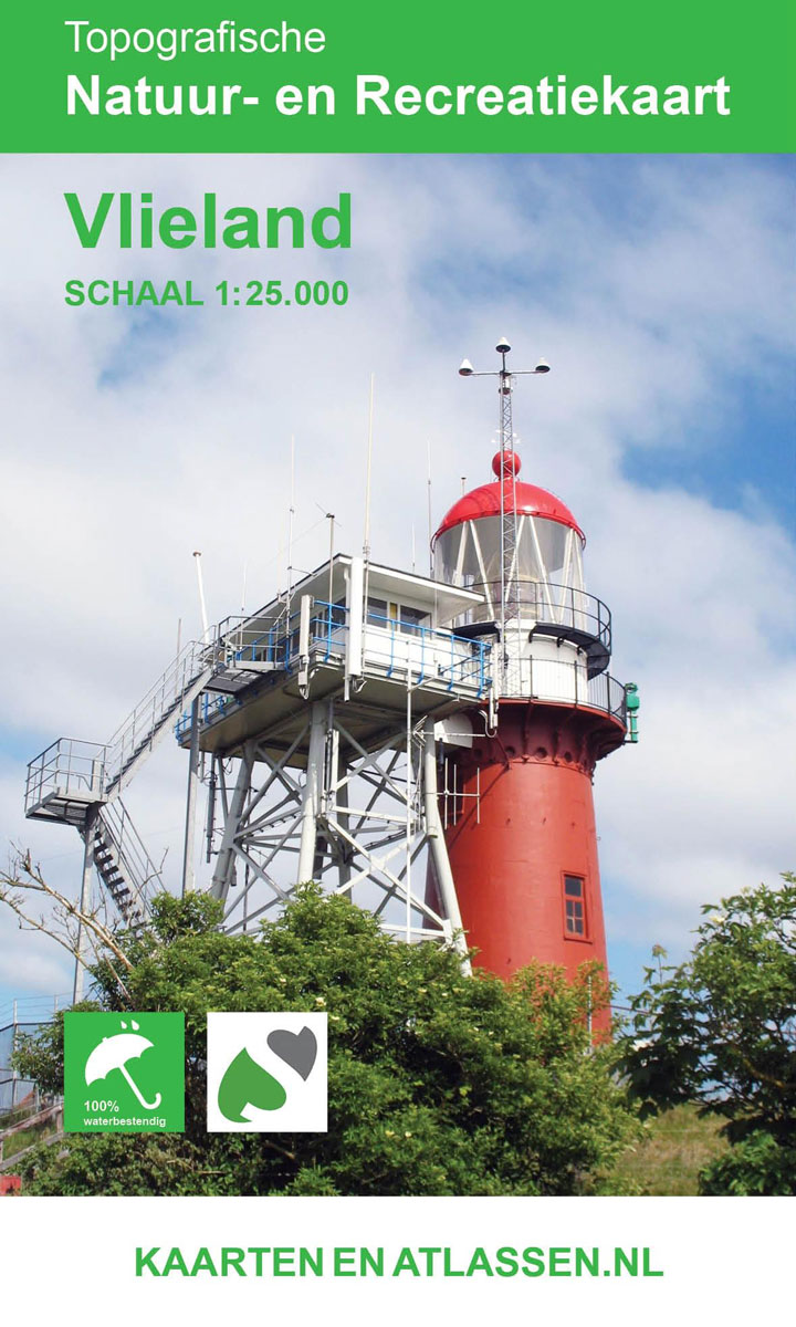
The entire island of Vlieland is featured on this two-sided GPS compatible walking map at 1:25,000 in a series of maps with extensive overprint for long-distance and local walking routes.This map is printed on environmentally friendly paper and is waterproof and tear-resistant.Varied colouring show different types of landscape. Symbols indicate various facilities. Maps have the
Wavre NGI Topo 40

Topographical survey of Belgium at 1:50,000 from the country’s national survey organization, Nationaal Geografisch Instituut / Institut Gรฉographique National. Contour interval varies according to the terrain, from 2.5 metres in the coastal areas to 10 metres in the Ardennes. The maps provide all the information expected of topographic mapping at this scale and additionally have
Schiermonnikoog
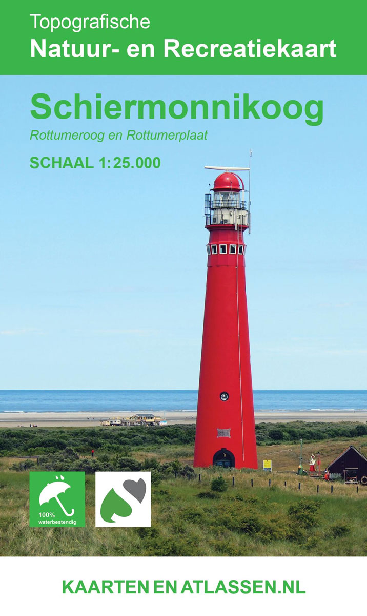
The entire island of Schiermonnikoog is featured on this two-sided GPS compatible walking map at 1:25,000 in a series of maps with extensive overprint for long-distance and local walking routes.This map is printed on environmentally friendly paper and is waterproof and tear-resistant.Varied colouring show different types of landscape. Symbols indicate various facilities. Maps have the
Hotspots Israel: A Travel Guide with a Difference

The State of Israel was established in 1948 and Joanne Nihom and Esther Voet have compiled this special travel guide about the Israel of today, nearly 70 years on. They reveal that Israel is a unique country to visit – it`s hip, hop and trendy! This modern guidebook divides its chapters between: sleeping, eating &


