Category Archives: Maps
The Moselle Valley: Metz – Thionville
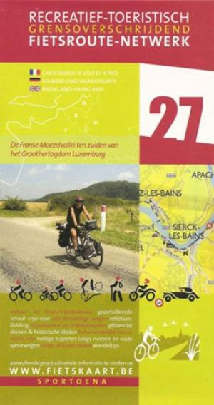
The Moselle Valley: Metz – Thionville area in a series of cycling maps from Sportoena covering Belgium and the adjoining regions of the neighbouring countries, with local routes, long-distance cycling paths, classification according to the density of traffic, campsites and places of interest, etc.Brightly coloured base and the presentation of the road network differ greatly
Cรดte d`Opale North: Calais – Dunkerque – Saint Omer
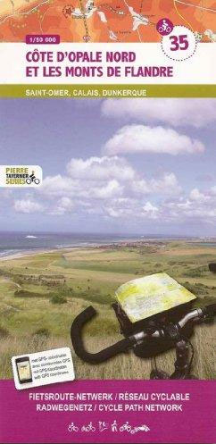
Cรดte d`Opale North: Calais – Dunkerque – Saint Omer area in a series of cycling maps from Sportoena covering Belgium and the adjoining regions of the neighbouring countries, with local routes, long-distance cycling paths, classification according to the density of traffic, campsites and places of interest, etc.Brightly coloured base and the presentation of the road
St. Quentin – Laon
St. Quentin – Laon area in a series of cycling maps from Sportoena covering Belgium and the adjoining regions of the neighbouring countries, with local routes, long-distance cycling paths, classification according to the density of traffic, campsites and places of interest, etc.Brightly coloured base and the presentation of the road network differ greatly from what
Cรดte d`Opale South and le Boulonnais: Cap Gris Nez – Boulogne-sur-Mer – Le Touquet – Hesdin
Cรดte d`Opale South and le Boulonnais: Cap Gris Nez – Boulogne-sur-Mer – Le Touquet – Hesdin area in a series of cycling maps from Sportoena covering Belgium and the adjoining regions of the neighbouring countries, with local routes, long-distance cycling paths, classification according to the density of traffic, campsites and places of interest, etc.Brightly coloured
Mons – Charlerois – Samber Valley
Mons – Charlerois – Samber Valley area in a series of cycling maps from Sportoena covering Belgium and the adjoining regions of the neighbouring countries, with local routes, long-distance cycling paths, classification according to the density of traffic, campsites and places of interest, etc.Brightly coloured base and the presentation of the road network differ greatly
Douai – Tournai – Mons: the Valley of the Schelde

Douai – Tournai – Mons area in a series of cycling maps from Sportoena covering Belgium and the adjoining regions of the neighbouring countries, with local routes, long-distance cycling paths, classification according to the density of traffic, campsites and places of interest, etc.Brightly coloured base and the presentation of the road network differ greatly from
Cambrai – Maubeuge: the Sources of the Schelde and the Somme
Cambrai – Maubeuge: the Sources of the Schelde and the Somme area in a series of cycling maps from Sportoena covering Belgium and the adjoining regions of the neighbouring countries, with local routes, long-distance cycling paths, classification according to the density of traffic, campsites and places of interest, etc.Brightly coloured base and the presentation of
Maubeuge – Dinant
Maubeuge – Dinant area in a series of cycling maps from Sportoena covering Belgium and the adjoining regions of the neighbouring countries, with local routes, long-distance cycling paths, classification according to the density of traffic, campsites and places of interest, etc.Brightly coloured base and the presentation of the road network differ greatly from what one
Belgian Ardennes: Dinant – Marche-en-Femenne
Belgian Ardennes: Dinant – Marche-en-Femenne area in a series of cycling maps from Sportoena covering Belgium and the adjoining regions of the neighbouring countries, with local routes, long-distance cycling paths, classification according to the density of traffic, campsites and places of interest, etc.Brightly coloured base and the presentation of the road network differ greatly from
Belgian Ardennes: Malmedy – Hautes Fanges National Park
Belgian Adrennes: Malmedy – Hautes Fanges National Park area in a series of cycling maps from Sportoena covering Belgium and the adjoining regions of the neighbouring countries, with local routes, long-distance cycling paths, classification according to the density of traffic, campsites and places of interest, etc.Brightly coloured base and the presentation of the road network
Northern Luxembourg – Southern Eifel: Diekirch – Waxweiler
Northern Luxembourg – Southern Eifel: Diekirch – Waxweiler area in a series of cycling maps from Sportoena covering Belgium and the adjoining regions of the neighbouring countries, with local routes, long-distance cycling paths, classification according to the density of traffic, campsites and places of interest, etc.Brightly coloured base and the presentation of the road network
Belgian Ardennes: Sedan – Bastogne
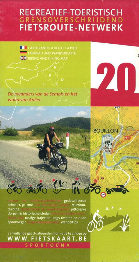
Belgian Ardennes: Sedan – Bastogne area in a series of cycling maps from Sportoena covering Belgium and the adjoining regions of the neighbouring countries, with local routes, long-distance cycling paths, classification according to the density of traffic, campsites and places of interest, etc.Brightly coloured base and the presentation of the road network differ greatly from
Europe Travellers` Railway Map
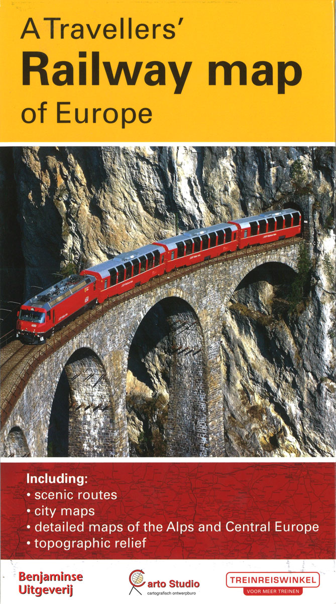
A Travellers` Railway Map of Europe from Carto Studio presenting the Continent in a series of six maps and their enlargements, including 12 city maps indicating locations of their main railway stations and a map of the high-speed network.On one side it an overview map of Europe at 1:3,800,000, with coverage extending north to Oslo
French Ardennes – Thiรจrache
French Ardennes – Thiรจrache area in a series of cycling maps from Sportoena covering Belgium and the adjoining regions of the neighbouring countries, with local routes, long-distance cycling paths, classification according to the density of traffic, campsites and places of interest, etc.Brightly coloured base and the presentation of the road network differ greatly from what
Cycling through Tuscany and Umbria to Rome
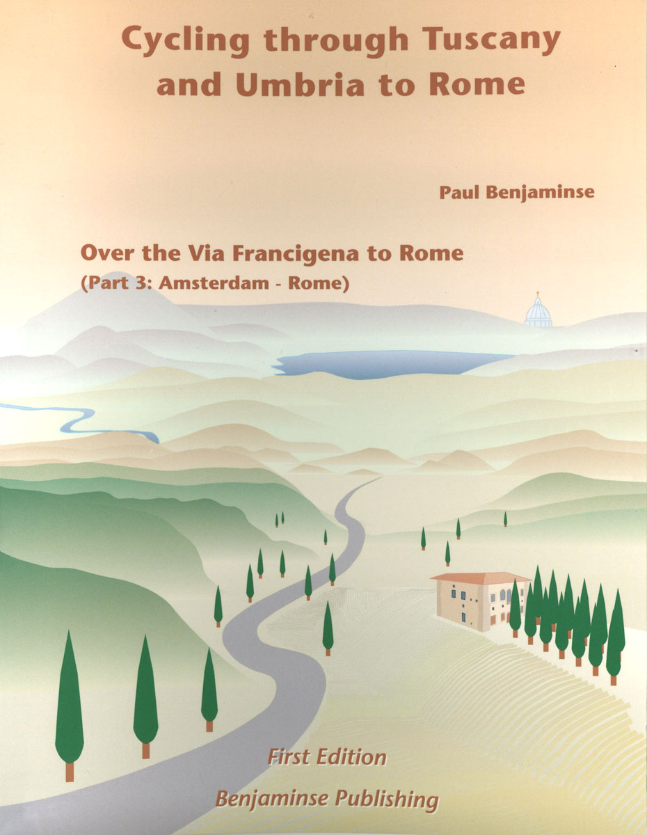
Florence to Rome. The third and last part about the cycle route from Amsterdam to Rome. The route is characterized by incredible landscapes, quiet roads that avoid the noise and hustle and bustle. This bike guide is also used by hikers for the route to Rome. All maps feature relief and afforestation. With city and
Champagne: Reims – the Aisne Valley
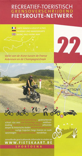
The Valleys of the Meuse and the Chiers in a series of cycling maps from Sportoena covering Belgium and the adjoining regions of the neighbouring countries, with local routes, long-distance cycling paths, classification according to the density of traffic, campsites and places of interest, etc.Brightly coloured base and the presentation of the road network differ
Kinshasa
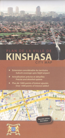
Kinshasa with its outer suburbs on a large, index street plan a 1:18,500 from Aquaterra, with very extensive lists of institutions, services, and sights, plus a list of old colonial names with their current replacements.Coverage of the main plan is extended further south-east to include the city’s international airport. Public transport routes are shown with
The Valleys of the Meuse and the Chiers
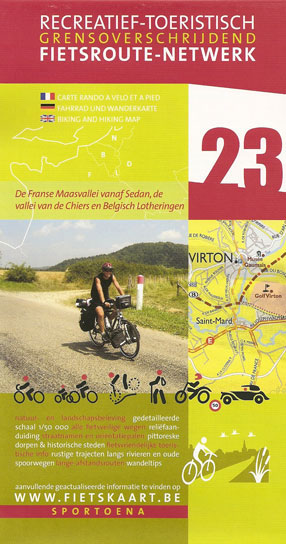
Champagne: Reims – the Aisne Valley area in a series of cycling maps from Sportoena covering Belgium and the adjoining regions of the neighbouring countries, with local routes, long-distance cycling paths, classification according to the density of traffic, campsites and places of interest, etc.Brightly coloured base and the presentation of the road network differ greatly
Lubumbashi
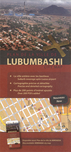
Street plan of Lubumbashi at 1:18,500 from the Belgian publishers Aquaterra, with coverage of the suburbs extending to the Luano airport, street index and an extensive listing of institutions, services and places of interest.The plan indicates main traffic routes across the town and within its administrative boundary provides names of both neighbourhoods and streets. Locations
Southern Luxembourg – The Moselle Valley: Luxembourg City – Trier
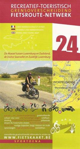
Southern Luxembourg – The Moselle Valley: Luxembourg City – Trier area in a series of cycling maps from Sportoena covering Belgium and the adjoining regions of the neighbouring countries, with local routes, long-distance cycling paths, classification according to the density of traffic, campsites and places of interest, etc.Brightly coloured base and the presentation of the


