Category Archives: Maps
Southwest Achterhoek
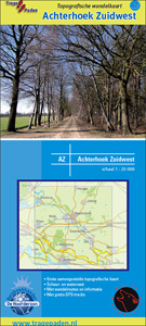
Southwest Achterhoek on a waterproof, tear-resistant, GPS compatible walking map at 1:25,000 from Trage Paden, in a series of maps with extensive overprint for long-distance and local walking routes. GPS waypoints and route profiles are available for download from the publisher’s website.Contours used in this map series vary between 2,5 to 5m according to the
Gelderse Valley
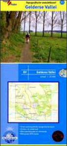
Gelderse Valley on a waterproof, tear-resistant, GPS compatible walking map at 1:25,000 from Trage Paden, in a series of maps with extensive overprint for long-distance and local walking routes. GPS waypoints and route profiles are available for download from the publisher’s website.Contours used in this map series vary between 2,5 to 5m according to the
North Veluwe
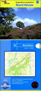
North Veluwe on a waterproof, tear-resistant, GPS compatible walking map at 1:25,000 from Trage Paden, in a series of maps with extensive overprint for long-distance and local walking routes. GPS waypoints and route profiles are available for download from the publisher’s website.Contours used in this map series vary between 2,5 to 5m according to the
Amsterdam Amstelland
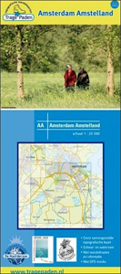
Amsterdam Amstelland on a waterproof, tear-resistant, GPS compatible walking map at 1:25,000 from Trage Paden, in a series of maps with extensive overprint for long-distance and local walking routes. GPS waypoints and route profiles are available for download from the publisher’s website.Contours used in this map series vary between 2,5 to 5m according to the
Delta North: Middelburg – Rotterdam
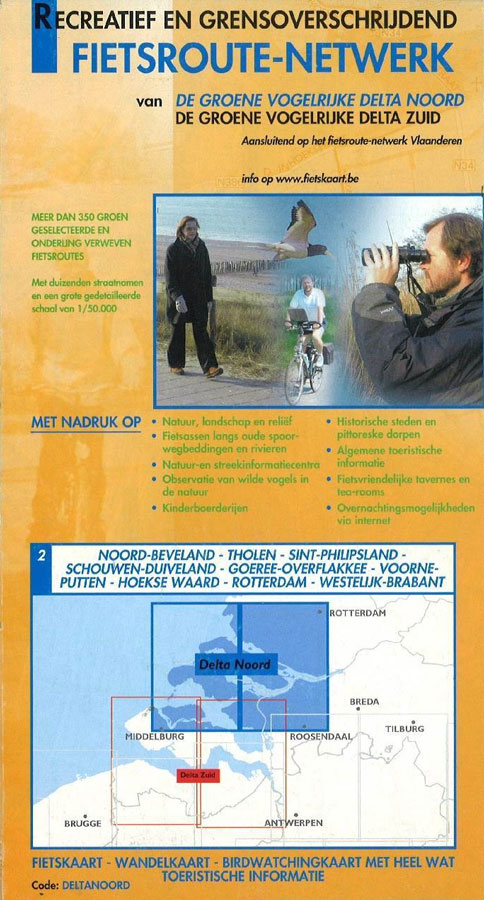
Delta North: Middelburg – Rotterdam area in a series of cycling maps from Sportoena covering Belgium and the adjoining regions of the neighbouring countries, with local routes, long-distance cycling paths, classification according to the density of traffic, campsites and places of interest, etc.Brightly coloured base and the presentation of the road network differ greatly from
Delta South: Middelburg – Dutch Flanders
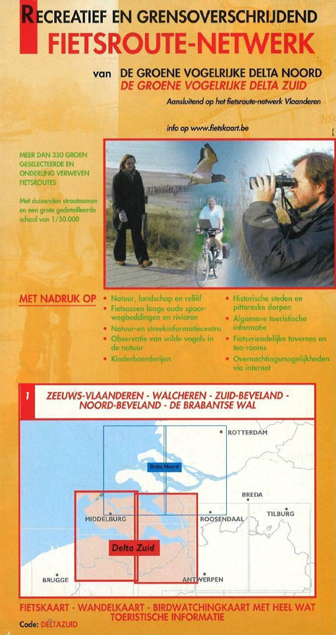
Delta South: Middelburg – Dutch Flanders area in a series of cycling maps from Sportoena covering Belgium and the adjoining regions of the neighbouring countries, with local routes, long-distance cycling paths, classification according to the density of traffic, campsites and places of interest, etc.Brightly coloured base and the presentation of the road network differ greatly
Champagne: Epernay – Reims
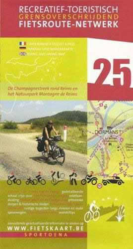
Champagne: Epernay – Reims area in a series of cycling maps from Sportoena covering Belgium and the adjoining regions of the neighbouring countries, with local routes, long-distance cycling paths, classification according to the density of traffic, campsites and places of interest, etc.Brightly coloured base and the presentation of the road network differ greatly from what
Northern Vulcan Eifel: Daun – Koblenz
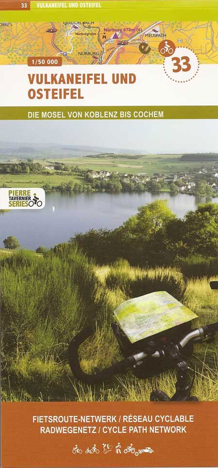
Northern Vulcan Eifel: Daun – Koblenz area in a series of cycling maps from Sportoena covering Belgium and the adjoining regions of the neighbouring countries, with local routes, long-distance cycling paths, classification according to the density of traffic, campsites and places of interest, etc.Brightly coloured base and the presentation of the road network differ greatly
Verdun 1914-1918 Battlefields
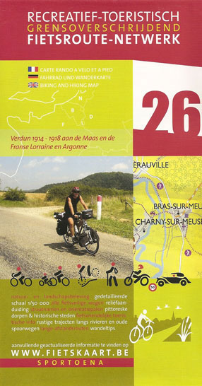
The Verdun area with the 1914-1918 battlefields in a series of cycling maps from Sportoena covering Belgium and the adjoining regions of the neighbouring countries, with local routes, long-distance cycling paths, classification according to the density of traffic, campsites and places of interest, etc.Brightly coloured base and the presentation of the road network differ greatly
Southern Vulcan Eifel: Daun – Trier
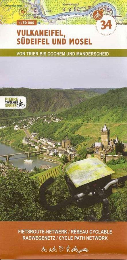
Southern Vulcan Eifel: Daun – Trier area in a series of cycling maps from Sportoena covering Belgium and the adjoining regions of the neighbouring countries, with local routes, long-distance cycling paths, classification according to the density of traffic, campsites and places of interest, etc.Brightly coloured base and the presentation of the road network differ greatly
The Moselle Valley: Metz – Thionville
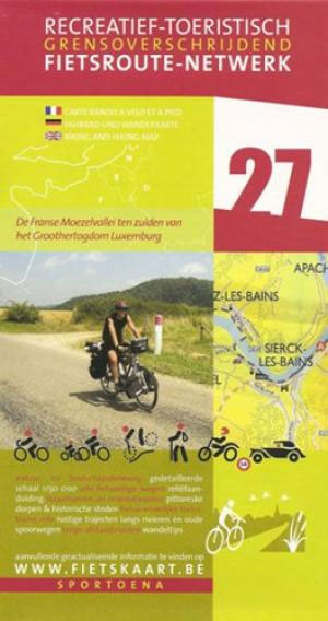
The Moselle Valley: Metz – Thionville area in a series of cycling maps from Sportoena covering Belgium and the adjoining regions of the neighbouring countries, with local routes, long-distance cycling paths, classification according to the density of traffic, campsites and places of interest, etc.Brightly coloured base and the presentation of the road network differ greatly
Cรดte d`Opale North: Calais – Dunkerque – Saint Omer
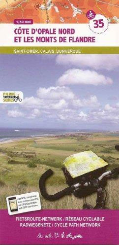
Cรดte d`Opale North: Calais – Dunkerque – Saint Omer area in a series of cycling maps from Sportoena covering Belgium and the adjoining regions of the neighbouring countries, with local routes, long-distance cycling paths, classification according to the density of traffic, campsites and places of interest, etc.Brightly coloured base and the presentation of the road
St. Quentin – Laon
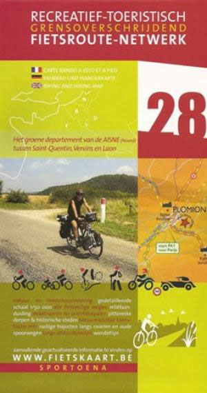
St. Quentin – Laon area in a series of cycling maps from Sportoena covering Belgium and the adjoining regions of the neighbouring countries, with local routes, long-distance cycling paths, classification according to the density of traffic, campsites and places of interest, etc.Brightly coloured base and the presentation of the road network differ greatly from what
Cรดte d`Opale South and le Boulonnais: Cap Gris Nez – Boulogne-sur-Mer – Le Touquet – Hesdin
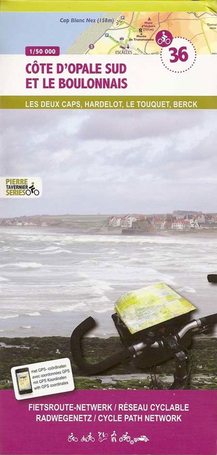
Cรดte d`Opale South and le Boulonnais: Cap Gris Nez – Boulogne-sur-Mer – Le Touquet – Hesdin area in a series of cycling maps from Sportoena covering Belgium and the adjoining regions of the neighbouring countries, with local routes, long-distance cycling paths, classification according to the density of traffic, campsites and places of interest, etc.Brightly coloured
Laon – Soissons – Reims
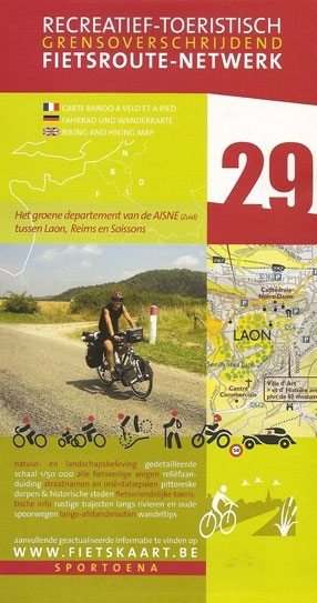
Laon – Soissons – Reims area in a series of cycling maps from Sportoena covering Belgium and the adjoining regions of the neighbouring countries, with local routes, long-distance cycling paths, classification according to the density of traffic, campsites and places of interest, etc.Brightly coloured base and the presentation of the road network differ greatly from
Compiรจgne ‘“ Senlis – Soissons
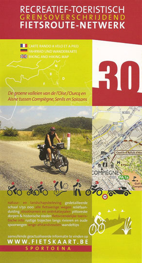
Compiรจgne – Senlis – Soissons area in a series of cycling maps from Sportoena covering Belgium and the adjoining regions of the neighbouring countries, with local routes, long-distance cycling paths, classification according to the density of traffic, campsites and places of interest, etc.Brightly coloured base and the presentation of the road network differ greatly from
Paris and Environs
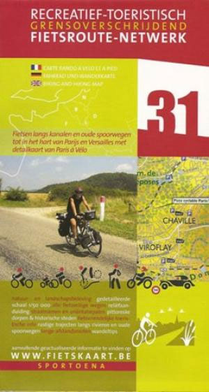
The environs of Paris in a series of cycling maps from Sportoena covering Belgium and the adjoining regions of the neighbouring countries, with local routes, long-distance cycling paths, classification according to the density of traffic, campsites and places of interest, etc.Brightly coloured base and the presentation of the road network differ greatly from what one
Dutch Flanders – Ghent
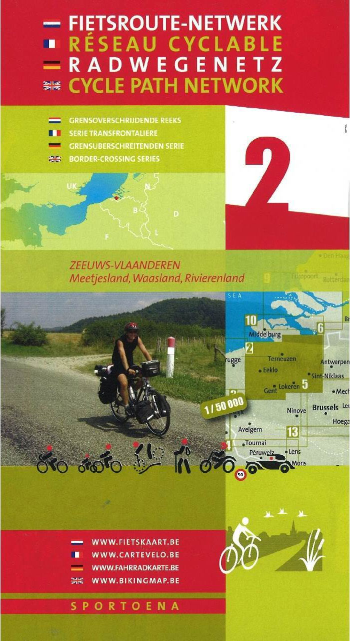
Dutch Flanders – Ghent area in a series of cycling maps from Sportoena covering Belgium and the adjoining regions of the neighbouring countries, with local routes, long-distance cycling paths, classification according to the density of traffic, campsites and places of interest, etc.Brightly coloured base and the presentation of the road network differ greatly from what
East Flanders: Kortrijk – Ninove
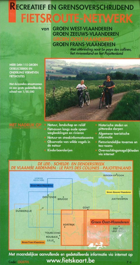
East Flanders: Kortrijk – Ninove area in a series of cycling maps from Sportoena covering Belgium and the adjoining regions of the neighbouring countries, with local routes, long-distance cycling paths, classification according to the density of traffic, campsites and places of interest, etc.Brightly coloured base and the presentation of the road network differ greatly from
French Flanders: Dunkerque – St. Omer – Ypres
French Flanders: Dunkerque – St. Omer – Ypres area in a series of cycling maps from Sportoena covering Belgium and the adjoining regions of the neighbouring countries, with local routes, long-distance cycling paths, classification according to the density of traffic, campsites and places of interest, etc.Brightly coloured base and the presentation of the road network


