Category Archives: Maps
Marstrand – Gothenburg – Asa
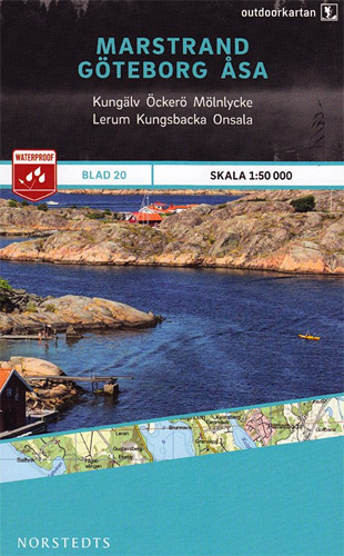
This map of Marstrand Goteborg Asa in 1:50,000 is part of a series of topographic maps from Norstedts Kartforlaget which includes 28 outdoor maps covering the mountain areas and popular recreation areas in southern Sweden. The maps in this series have a new look and are printed on a durable and water resistant paper. Cartography,
Arkosund Gryt Vastervik
This map of Arkosund Gryt Vastervik in 1:50,000 is part of a series of topographic maps from Norstedts Kartforlaget which includes 28 outdoor maps covering the mountain areas and popular recreation areas in southern Sweden. The maps in this series have a new look and are printed on a durable and water resistant paper. Cartography,
Nynashamn Oxelosund Arkosund
This map of Nynashamn Oxelosund Arkosund in 1:50,000 is part of a series of topographic maps from Norstedts Kartforlaget which includes 28 outdoor maps covering the mountain areas and popular recreation areas in southern Sweden. The maps in this series have a new look and are printed on a durable and water resistant paper. Cartography,
Mariefred Flen Nykoping
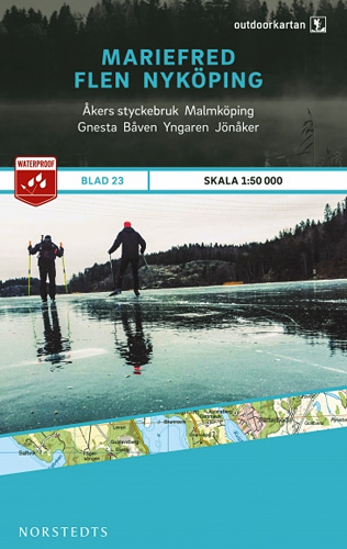
This map of Mariefred Flen Nykoping in 1:50,000 is part of a series of topographic maps from Norstedts Kartforlaget which includes 28 outdoor maps covering the mountain areas and popular recreation areas in southern Sweden. The maps in this series have a new look and are printed on a durable and water resistant paper. Cartography,
Utrechtse Heuvelrug
Utrechtse Heuvelrug on a waterproof, tear-resistant, GPS compatible walking map at 1:25,000 from Trage Paden, in a series of maps with extensive overprint for long-distance and local walking routes. GPS waypoints and route profiles are available for download from the publisher’s website.Contours used in this map series vary between 2,5 to 5m according to the
Upper Somme Valley and Estuary: Abbeville – Saint-Valery-sur-Somme
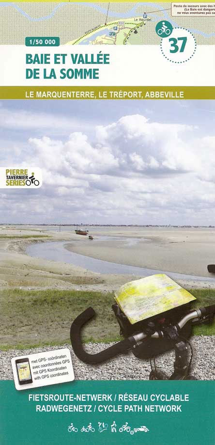
Upper Somme Valley and Estuary: Abbeville – Saint-Valery-sur-Somme area in a series of cycling maps from Sportoena covering Belgium and the adjoining regions of the neighbouring countries, with local routes, long-distance cycling paths, classification according to the density of traffic, campsites and places of interest, etc.Brightly coloured base and the presentation of the road network
North Artois and Pays du Ternois: Arras – Lens – Lille
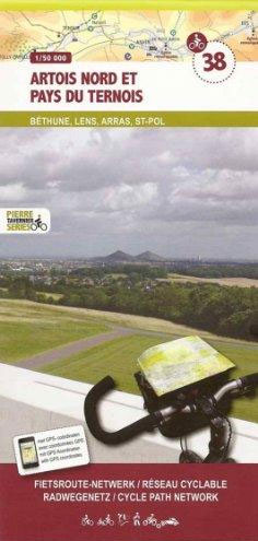
North Artois and Pays du Ternois: Arras – Lens – Lille area in a series of cycling maps from Sportoena covering Belgium and the adjoining regions of the neighbouring countries, with local routes, long-distance cycling paths, classification according to the density of traffic, campsites and places of interest, etc.Brightly coloured base and the presentation of
Scandinavia Norstedts Wall Map
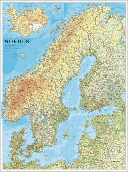
Clear and colourful 79x99cm wallmap of Norway, Sweden, Denmark, Finland and the Baltic States. Iceland & the Faeroes are shown in an inset. Towns, main roads and railways are marked, along with elevation colouring and provincial boundaries. Legend in English.The publishers, Norstedts Kartfรถrlaget, is the now privatized section of Sweden’s national survey organization, Lantmรคteriet.
Le Pays des Grues Cendrรฉes – Lac du Der – les Lacs Aubois: Troyes – Saint Dizier
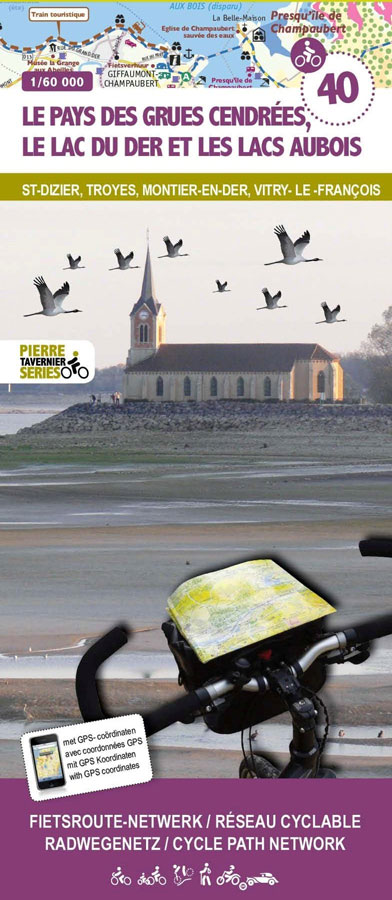
Le Pays des Grues Cendrรฉes – Lac du Der – les Lacs Aubois: Troyes – Saint Dizier area in a series of cycling maps from Sportoena covering Belgium and the adjoining regions of the neighbouring countries, with local routes, long-distance cycling paths, classification according to the density of traffic, campsites and places of interest, etc.Brightly
Amsterdam Waterland
Amsterdam Waterland on a waterproof, tear-resistant, GPS compatible walking map at 1:25,000 from Trage Paden, in a series of maps with extensive overprint for long-distance and local walking routes. GPS waypoints and route profiles are available for download from the publisher’s website.Contours used in this map series vary between 2,5 to 5m according to the
Central Veluwe
Central Veluwe on a waterproof, tear-resistant, GPS compatible walking map at 1:25,000 from Trage Paden, in a series of maps with extensive overprint for long-distance and local walking routes. GPS waypoints and route profiles are available for download from the publisher’s website.Contours used in this map series vary between 2,5 to 5m according to the
Northwest Achterhoek
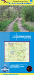
Northwest Achterhoek on a waterproof, tear-resistant, GPS compatible walking map at 1:25,000 from Trage Paden, in a series of maps with extensive overprint for long-distance and local walking routes. GPS waypoints and route profiles are available for download from the publisher’s website.Contours used in this map series vary between 2,5 to 5m according to the
Southwest Achterhoek
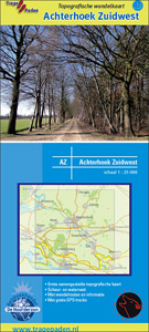
Southwest Achterhoek on a waterproof, tear-resistant, GPS compatible walking map at 1:25,000 from Trage Paden, in a series of maps with extensive overprint for long-distance and local walking routes. GPS waypoints and route profiles are available for download from the publisher’s website.Contours used in this map series vary between 2,5 to 5m according to the
Gelderse Valley
Gelderse Valley on a waterproof, tear-resistant, GPS compatible walking map at 1:25,000 from Trage Paden, in a series of maps with extensive overprint for long-distance and local walking routes. GPS waypoints and route profiles are available for download from the publisher’s website.Contours used in this map series vary between 2,5 to 5m according to the
North Veluwe
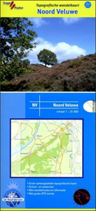
North Veluwe on a waterproof, tear-resistant, GPS compatible walking map at 1:25,000 from Trage Paden, in a series of maps with extensive overprint for long-distance and local walking routes. GPS waypoints and route profiles are available for download from the publisher’s website.Contours used in this map series vary between 2,5 to 5m according to the


