Category Archives: Maps
Southern Norway North: Sognefjorden – Jotunheimen NP – Rondane NP – Trondheim

The northern part of southern Norway South, between the Sognefjorden and Trondheim including the Jotunheimen and Rondane National parks, at 1:345,000 in a series indexed, double-sided regional road maps from the Norstedts Kartforlaget presenting the country on five maps at scales varying from 1:275,000 to 1:440,000. Topography is indicated by relief shading, with colouring for
Adolfstrรถm – Hemavan Kungsleden Map & Guide Set 5
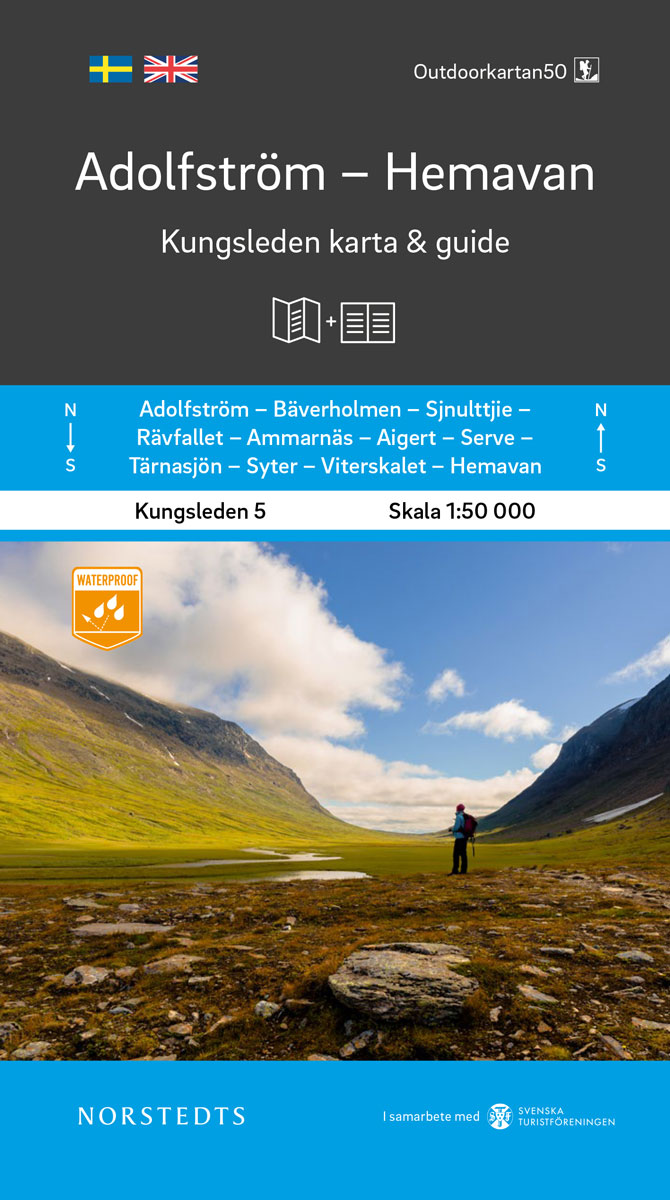
Kungsleden – easily accessible hike through Sweden`s magical mountain world!Kungsleden Kart & Guide is a series of 5 parts between Abisko and Hemavan, which have been developed in collaboration with the Swedish Tourist Association. Each part consists of a set with a completely water-resistant mountain map in scale 1:50 000 and an accompanying guide describing
Central Norway: Trondheim – Mo i Rana
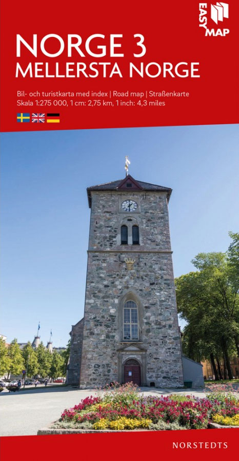
The central part of Norway between Tronheim and Mo I Rana at 1:275,000 in a series indexed, double-sided regional road maps from the Norstedts Kartforlaget presenting the country on five maps at scales varying from 1:275,000 to 1:440,000. Topography is indicated by relief shading, with colouring for forested areas and boundaries of Norway’s numerous national
Central and North Norway: Bodรธ – Lofoten
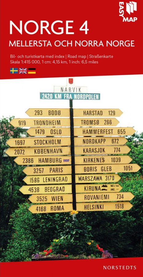
Northern Norway from Bodรธ to the Lofoten Islands at 1:415,000 in a series indexed, double-sided regional road maps from the Norstedts Kartforlaget presenting the country on five maps at scales varying from 1:275,000 to 1:440,000. Topography is indicated by relief shading, with colouring for forested areas and boundaries of Norway’s numerous national parks.Road network highlights
North Norway: Narvik – Tromsรธ ‘“ Hammerfest – Vadsรธ

The northern Norway from Narvik to Kirkness at 1:440,000 in a series indexed, double-sided regional road maps from the Norstedts Kartforlaget presenting the country on five maps at scales varying from 1:275,000 to 1:440,000. Topography is indicated by relief shading, with colouring for forested areas and boundaries of Norway’s numerous national parks.Road network highlights National
Malaren
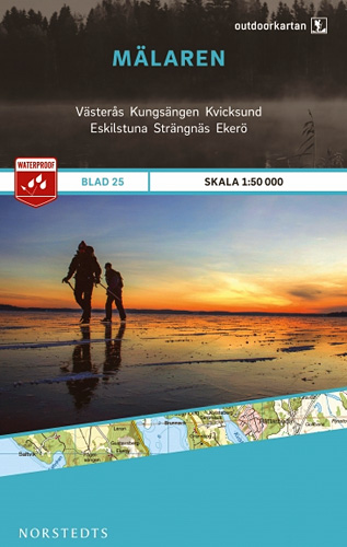
This map of Malaren in 1:50,000 is part of a series of topographic maps from Norstedts Kartforlaget which includes 28 outdoor maps covering the mountain areas and popular recreation areas in southern Sweden. The maps in this series have a new look and are printed on a durable and water resistant paper. Cartography, material and
Stockholms Skargard Norstedts Outdoor 27

This map of Stockholms Skargard in 1:50,000 is part of a series of topographic maps from Norstedts Kartforlaget which includes 28 outdoor maps covering the mountain areas and popular recreation areas in southern Sweden. The maps in this series have a new look and are printed on a durable and water resistant paper. Cartography, material
Orskar Grisslehamn Furusund
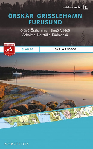
This map of Orskar Grisslehamn Furusund in 1:50,000 is part of a series of topographic maps from Norstedts Kartforlaget which includes 28 outdoor maps covering the mountain areas and popular recreation areas in southern Sweden. The maps in this series have a new look and are printed on a durable and water resistant paper. Cartography,
Stockholm County Norstedts Road Map
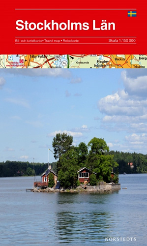
The environs of Stockholm and Uppsala on a detailed road map at 1:150,000 from Norstedts, highlighting campsites and youth hostels, golf courses, marinas, places of interest, etc. The map presents the area’s road network in great detail, including privately maintained roads opened to general traffic. Railway lines are shown with stations and car ferry routes
Ammarnas – Hemavan – Lill-Bjorkvattnet Norstedts Outdoor 6
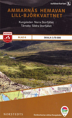
This map of Ammarnas Hemavan Lill Bjorkvattnet in 1:75,000 is part of a series of topographic maps from Norstedts Kartforlaget which includes 28 outdoor maps covering the mountain areas and popular recreation areas in southern Sweden. The maps in this series have a new look and are printed on a durable and water resistant paper.
Stockholm Tourist Map
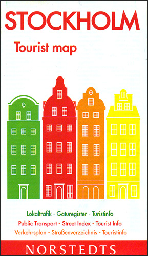
Stockholm on an indexed street plan at 1:13,000 from the Swedish publishers Norstedts with a more detailed enlargement of the historic Gamla Stan district, a list of places of interest, and a diagram of the transport network.The main plan covers the city with its outer districts, extending north to Solna and Hjorthagen, east to Nacka,
Charlottenberg Arvika
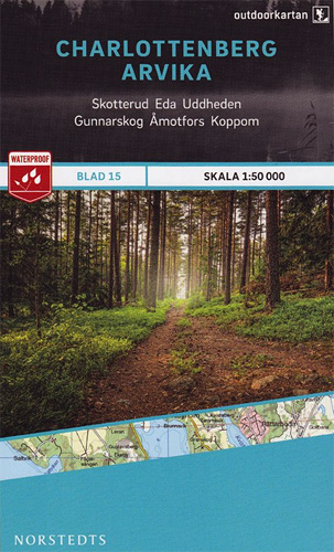
This map of Charlottenberg Arvika in 1:50,000 is part of a series of topographic maps from Norstedts Kartforlaget which includes 28 outdoor maps covering the mountain areas and popular recreation areas in southern Sweden. The maps in this series have a new look and are printed on a durable and water resistant paper. Cartography, material
Tocksfors – Arjang – Nysater Norstedts Outdoor 16
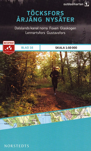
This map of Tocksfors Arjang Nysater in 1:50,000 is part of a series of topographic maps from Norstedts Kartforlaget which includes 28 outdoor maps covering the mountain areas and popular recreation areas in southern Sweden. The maps in this series have a new look and are printed on a durable and water resistant paper. Cartography,
Ed Amal Kopmannebro
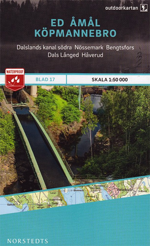
This map of Ed Amal Kopmannebro in 1:50,000 is part of a series of topographic maps from Norstedts Kartforlaget which includes 28 outdoor maps covering the mountain areas and popular recreation areas in southern Sweden. The maps in this series have a new look and are printed on a durable and water resistant paper. Cartography,
World Norstedts Black & White Political Wall Map

Black and white map of the world from Norstedts for all those who want a contemporary political world map without other colours and yet not just an outline map.Names of countries, oceans and seas, and islands are given in English. Only capital cities are marked (even in large countries such as Russia, USA or Australia);
Svinesund Stromstad Hamburgsund
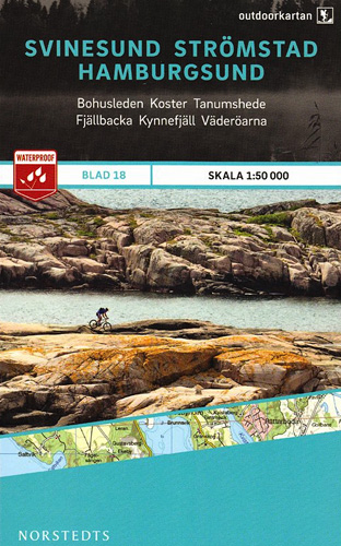
This map of Svinesund Stromstad Hamburgsund in 1:50,000 is part of a series of topographic maps from Norstedts Kartforlaget which includes 28 outdoor maps covering the mountain areas and popular recreation areas in southern Sweden. The maps in this series have a new look and are printed on a durable and water resistant paper. Cartography,
Munkedal Lysekil Tjorn
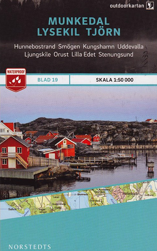
This map of Munkedal Lysekil Tjorn in 1:50,000 is part of a series of topographic maps from Norstedts Kartforlaget which includes 28 outdoor maps covering the mountain areas and popular recreation areas in southern Sweden. The maps in this series have a new look and are printed on a durable and water resistant paper. Cartography,
Marstrand – Gothenburg – Asa
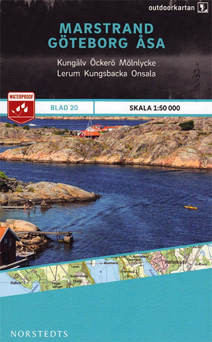
This map of Marstrand Goteborg Asa in 1:50,000 is part of a series of topographic maps from Norstedts Kartforlaget which includes 28 outdoor maps covering the mountain areas and popular recreation areas in southern Sweden. The maps in this series have a new look and are printed on a durable and water resistant paper. Cartography,


