Category Archives: Maps
Skรคckerfjรคllen – Storlien – ร…re Norstedts Outdoor 10
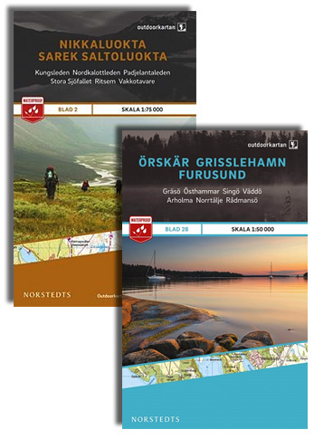
This map of Skackerfjallen Storlien Are in 1:75,000 is part of a series of topographic maps from Norstedts Kartforlaget which includes 28 outdoor maps covering the mountain areas and popular recreation areas in southern Sweden. The maps in this series have a new look and are printed on a durable and water resistant paper. Cartography,
Jรคmtlandsfjรคllen Norstedts Outdoor 11

This map of Jamtlandsfjallen in 1:75,000 is part of a series of topographic maps from Norstedts Kartforlaget which includes 28 outdoor maps covering the mountain areas and popular recreation areas in southern Sweden. The maps in this series have a new look and are printed on a durable and water resistant paper. Cartography, material and
Ramundberget – Funรคsdalen – Vemdalen Norstedts Outdoor 12

This map of Ramundberget Funasdalen Vemdalen in 1:75,000 is part of a series of topographic maps from Norstedts Kartforlaget which includes 28 outdoor maps covering the mountain areas and popular recreation areas in southern Sweden. The maps in this series have a new look and are printed on a durable and water resistant paper. Cartography,
Rogen – Grรถvelsjรถn – Idre Norstedts Outdoor 13

This map of Rogen Grovelsjon Idre in 1:75,000 is part of a series of topographic maps from Norstedts Kartforlaget which includes 28 outdoor maps covering the mountain areas and popular recreation areas in southern Sweden. The maps in this series have a new look and are printed on a durable and water resistant paper. Cartography,
Gotland Norstedts Road Map
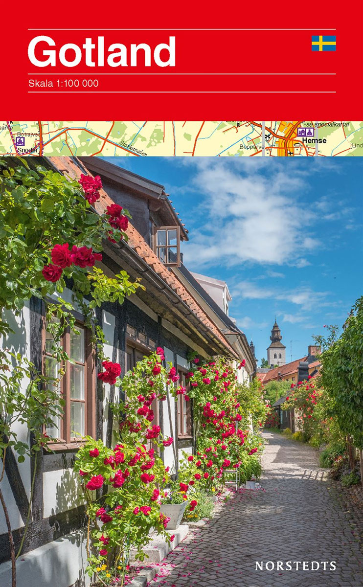
Gotland at 1:100,000 on a double-sided road map from Norstedts with street plans of the island’s four main towns and brief descriptions of 48 places of interest, including fauna and flora and examples of local architecture, all cross-reference to the map.The map show the island’s road network, including small local roads (incorrectly translated in the
Saltoluokta – Kvikkjokk Kungsleden Map & Guide Set 3
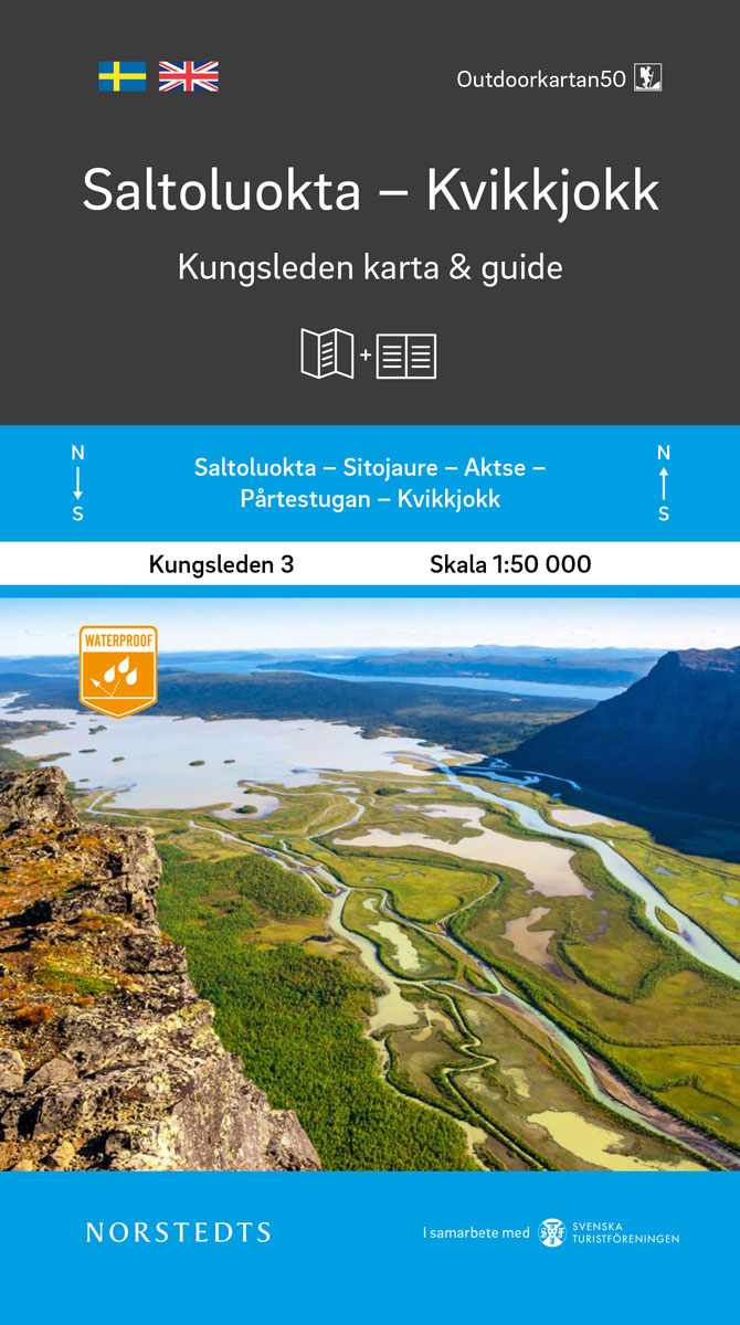
Kungsleden – easily accessible hike through Sweden`s magical mountain world!Kungsleden Kart & Guide is a series of 5 parts between Abisko and Hemavan, which have been developed in collaboration with the Swedish Tourist Association. Each part consists of a set with a completely water-resistant mountain map in scale 1:50 000 and an accompanying guide describing
Southern Norway South: Oslo – Stavanger – Bergen – Hardangervidda NP

Southern Norway South, including Oslo, Stavanger and Bergen, at 1:330,000 in a series indexed, double-sided regional road maps from the Norstedts Kartforlaget presenting the country on five maps at scales varying from 1:275,000 to 1:440,000. Topography is indicated by relief shading, with colouring for forested areas and boundaries of Norway’s numerous national parks.Road network highlights
Kvikkjokk – Adolfstrรถm Kungsleden Map & Guide Set 4
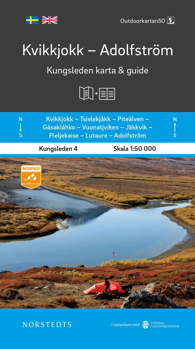
Kungsleden – easily accessible hike through Sweden`s magical mountain world!Kungsleden Kart & Guide is a series of 5 parts between Abisko and Hemavan, which have been developed in collaboration with the Swedish Tourist Association. Each part consists of a set with a completely water-resistant mountain map in scale 1:50 000 and an accompanying guide describing
Southern Norway North: Sognefjorden – Jotunheimen NP – Rondane NP – Trondheim

The northern part of southern Norway South, between the Sognefjorden and Trondheim including the Jotunheimen and Rondane National parks, at 1:345,000 in a series indexed, double-sided regional road maps from the Norstedts Kartforlaget presenting the country on five maps at scales varying from 1:275,000 to 1:440,000. Topography is indicated by relief shading, with colouring for
Adolfstrรถm – Hemavan Kungsleden Map & Guide Set 5
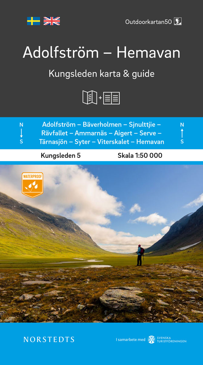
Kungsleden – easily accessible hike through Sweden`s magical mountain world!Kungsleden Kart & Guide is a series of 5 parts between Abisko and Hemavan, which have been developed in collaboration with the Swedish Tourist Association. Each part consists of a set with a completely water-resistant mountain map in scale 1:50 000 and an accompanying guide describing
Central Norway: Trondheim – Mo i Rana
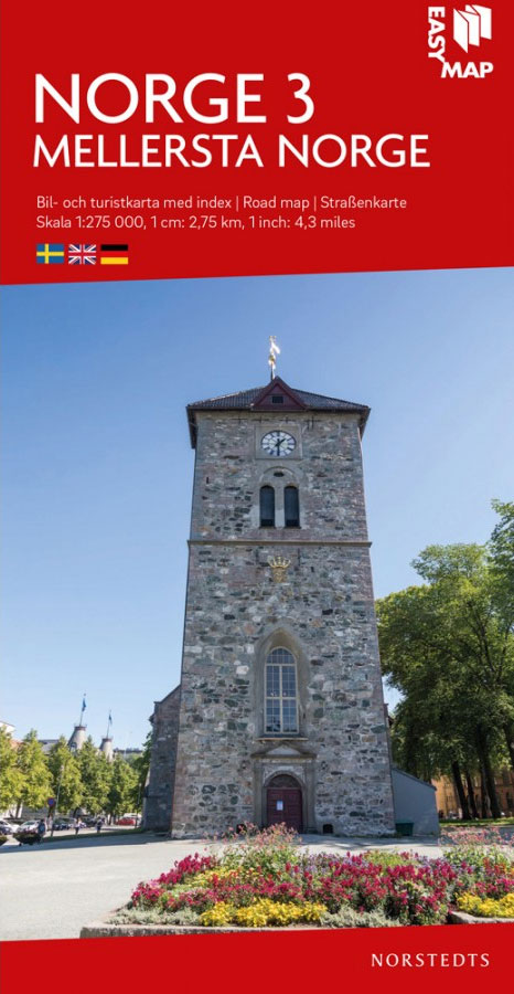
The central part of Norway between Tronheim and Mo I Rana at 1:275,000 in a series indexed, double-sided regional road maps from the Norstedts Kartforlaget presenting the country on five maps at scales varying from 1:275,000 to 1:440,000. Topography is indicated by relief shading, with colouring for forested areas and boundaries of Norway’s numerous national
Central and North Norway: Bodรธ – Lofoten
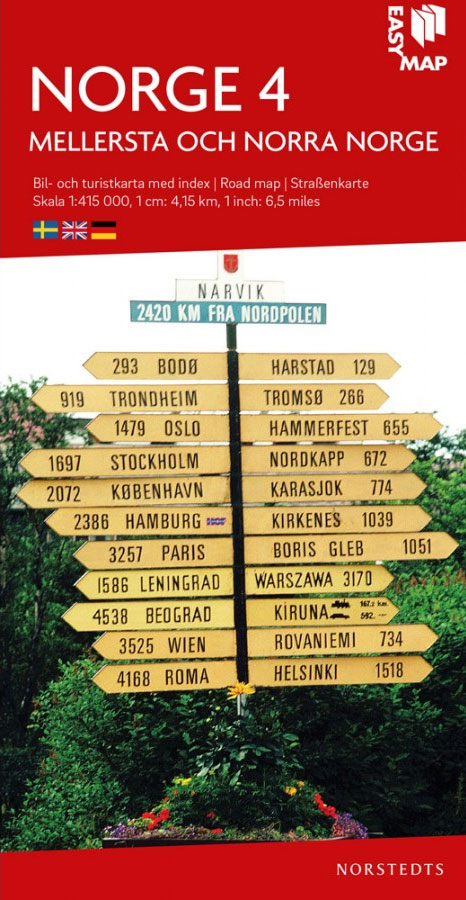
Northern Norway from Bodรธ to the Lofoten Islands at 1:415,000 in a series indexed, double-sided regional road maps from the Norstedts Kartforlaget presenting the country on five maps at scales varying from 1:275,000 to 1:440,000. Topography is indicated by relief shading, with colouring for forested areas and boundaries of Norway’s numerous national parks.Road network highlights
North Norway: Narvik – Tromsรธ ‘“ Hammerfest – Vadsรธ

The northern Norway from Narvik to Kirkness at 1:440,000 in a series indexed, double-sided regional road maps from the Norstedts Kartforlaget presenting the country on five maps at scales varying from 1:275,000 to 1:440,000. Topography is indicated by relief shading, with colouring for forested areas and boundaries of Norway’s numerous national parks.Road network highlights National
Sweden Norstedts EasyMap
Southern Gรถtaland Norstedts Regional Map 1
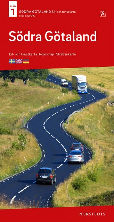
Southern Gรถtaland at 1:250,000 in a series of GPS compatible touring road maps of Sweden produced by Norstedts Kartfรถrlaget in cooperation with the country’s national survey organization and highlighting places of interest, campsites, recreational facilities, etc.The series covers southern and central Sweden at 1:250,000, with the north at 1:400,000. Spot heights and relief colouring in
Eastern Svealand Norstedts Regional Map 3

Eastern Svealand at 1:250,000 in a series of GPS compatible touring road maps of Sweden produced by Norstedts Kartfรถrlaget in cooperation with the country’s national survey organization and highlighting places of interest, campsites, recreational facilities, etc.The series covers southern and central Sweden at 1:250,000, with the north at 1:400,000. Spot heights and relief colouring in
Central Norrland Norstedts Regional Map 5

Central Norrland at 1:400,000 in a series of GPS compatible touring road maps of Sweden produced by Norstedts Kartfรถrlaget in cooperation with the country’s national survey organization and highlighting places of interest, campsites, recreational facilities, etc.The series covers southern and central Sweden at 1:250,000, with the north at 1:400,000. Spot heights and relief colouring in
Cap of the North / Nordkalotten Norstedts Road Map
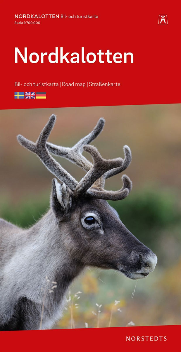
Nordkalotten (Cap of the North) ‘“ the northernmost tip of Scandinavia across Norway, Sweden, Finland and Russia, presented at 1:700,000 on a road map from the Swedish publishers Norstedts. Coverage extends south well beyond the Arctic Circle to include the northern part of the Gulf of Bothnia, and within Russia eastwards to Murmansk and Monchegorsk.Shading


