Category Archives: Maps
Malmรถ – Lund Pocket Street Atlas
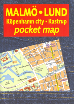
Malmรถ and the nearby Lund in an indexed pocket street atlas fro Liber Kartor, with diagrams of local bus and train lines, plus a street plan of central Copenhagen and the city’s international airport at Kastrup.All the plans are at the same scale of 1:12,000. There is no map legend, but the plans are self-explanatory.
Malmรถ
Topographic survey of Sweden at 1:100,000, the Vรคgkartan, from the Lantmรคteriet, covering most of the country in 79 double-sided maps. Please note: the mountainous regions of central and northern Sweden are not covered by this series but presented in a separate ‘Fjรคllkartan – Mountain Map” series also listed on our website.Each 1:100,000 topographic survey map
Simrishamn

Topographic survey of Sweden at 1:100,000, the Vรคgkartan, from the Lantmรคteriet, covering most of the country in 79 double-sided maps. Please note: the mountainous regions of central and northern Sweden are not covered by this series but presented in a separate ‘Fjรคllkartan – Mountain Map” series also listed on our website.Each 1:100,000 topographic survey map
Kristianstad

Topographic survey of Sweden at 1:100,000, the Vรคgkartan, from the Lantmรคteriet, covering most of the country in 79 double-sided maps. Please note: the mountainous regions of central and northern Sweden are not covered by this series but presented in a separate ‘Fjรคllkartan – Mountain Map” series also listed on our website.Each 1:100,000 topographic survey map
Karlskrona

Topographic survey of Sweden at 1:100,000, the Vรคgkartan, from the Lantmรคteriet, covering most of the country in 79 double-sided maps. Please note: the mountainous regions of central and northern Sweden are not covered by this series but presented in a separate ‘Fjรคllkartan – Mountain Map” series also listed on our website.Each 1:100,000 topographic survey map
Kalmar

Topographic survey of Sweden at 1:100,000, the Vรคgkartan, from the Lantmรคteriet, covering most of the country in 79 double-sided maps. Please note: the mountainous regions of central and northern Sweden are not covered by this series but presented in a separate ‘Fjรคllkartan – Mountain Map” series also listed on our website.Each 1:100,000 topographic survey map
Jรคmtlandsfjรคllen Norstedts Outdoor 11
This map of Jamtlandsfjallen in 1:75,000 is part of a series of topographic maps from Norstedts Kartforlaget which includes 28 outdoor maps covering the mountain areas and popular recreation areas in southern Sweden. The maps in this series have a new look and are printed on a durable and water resistant paper. Cartography, material and
Ramundberget – Funรคsdalen – Vemdalen Norstedts Outdoor 12

This map of Ramundberget Funasdalen Vemdalen in 1:75,000 is part of a series of topographic maps from Norstedts Kartforlaget which includes 28 outdoor maps covering the mountain areas and popular recreation areas in southern Sweden. The maps in this series have a new look and are printed on a durable and water resistant paper. Cartography,
Rogen – Grรถvelsjรถn – Idre Norstedts Outdoor 13

This map of Rogen Grovelsjon Idre in 1:75,000 is part of a series of topographic maps from Norstedts Kartforlaget which includes 28 outdoor maps covering the mountain areas and popular recreation areas in southern Sweden. The maps in this series have a new look and are printed on a durable and water resistant paper. Cartography,
Fulufjรคllet – Trysil – Sรคlen Norstedts Outdoor 14

This map of Fulufjallet Trysil Salen in 1:75,000 is part of a series of topographic maps from Norstedts Kartforlaget which includes 28 outdoor maps covering the mountain areas and popular recreation areas in southern Sweden. The maps in this series have a new look and are printed on a durable and water resistant paper. Cartography,
Sweden Norstedts Large Road Atlas
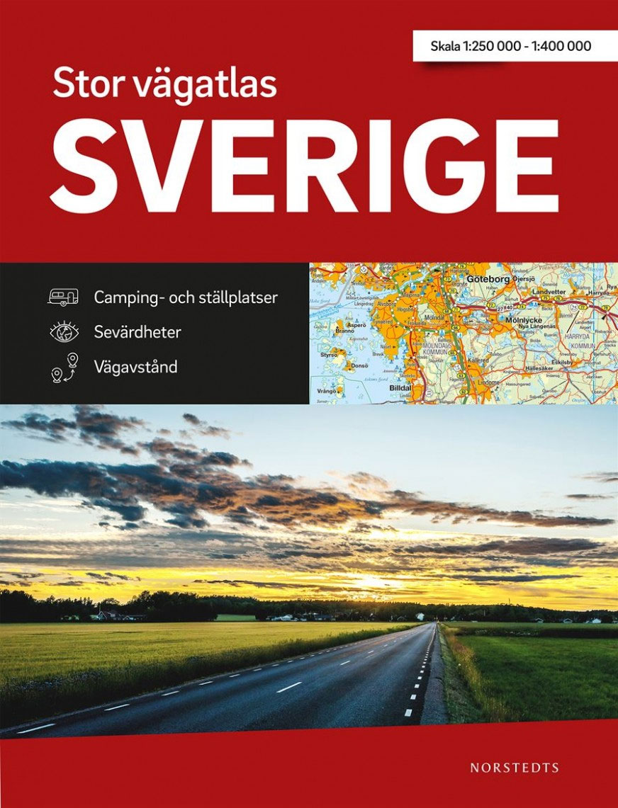
In addition to detailed tourist information in the map section, the Auto Atlas contains 26 town plans, distance tables, an overview map with charging stations, an overview map for Stockholm and much more. A detailed register with 33,700 entries opens up this practical travel companion .The map image includes: Roads, Routes, Distances, Railways, Ferries, Places,
Western Svealand Norstedts Regional Map 2
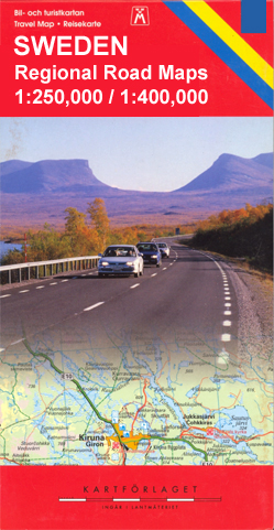
Western Svealand at 1:250,000 in a series of GPS compatible touring road maps of Sweden produced by Norstedts Kartfรถrlaget in cooperation with the country’s national survey organization and highlighting places of interest, campsites, recreational facilities, etc.The series covers southern and central Sweden at 1:250,000, with the north at 1:400,000. Spot heights and relief colouring in
Abisko – Kebnekaise – Nikkaluokta Norstedts Outdoor 1

This map of Abisko Kebnekaise Nikkaluokta in 1:75,000 is part of a series of topographic maps from Norstedts Kartforlaget which includes 28 outdoor maps covering the mountain areas and popular recreation areas in southern Sweden. The maps in this series have a new look and are printed on a durable and water resistant paper. Cartography,
Northern Svealand – Southern Norrland Norstedts Regional Map 4

Northern Svealand – Southern Norrland at 1:250,000 in a series of GPS compatible touring road maps of Sweden produced by Norstedts Kartfรถrlaget in cooperation with the country’s national survey organization and highlighting places of interest, campsites, recreational facilities, etc.The series covers southern and central Sweden at 1:250,000, with the north at 1:400,000. Spot heights and
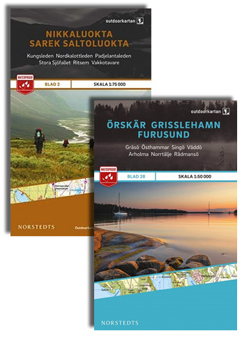
Nikkaluokta – Sarek – Saltoluokta Norstedts Outdoor 2

This map of Nikkaluokta Sarek Saltoluokta in 1:75,000 is part of a series of topographic maps from Norstedts Kartforlaget which includes 28 outdoor maps covering the mountain areas and popular recreation areas in southern Sweden. The maps in this series have a new look and are printed on a durable and water resistant paper. Cartography,
Saltoluokta – Padjelanta – Kvikkjokk Norstedts Outdoor 3

This map of Saltoluokta Padjelanta Kvikkjokk in 1:75,000 is part of a series of topographic maps from Norstedts Kartforlaget which includes 28 outdoor maps covering the mountain areas and popular recreation areas in southern Sweden. The maps in this series have a new look and are printed on a durable and water resistant paper. Cartography,
Sweden Norstedts Road Atlas 2021
In addition to detailed tourist information in the map section, the Auto Atlas contains 50 city maps, distance tables, an overview map with charging stations, an overview map for Stockholm and much more. A detailed register with 33,700 entries opens up this practical travel companion .The map image includes: Roads, Routes, Distances, Railways, Ferries, Places,
Kvikkjokk – Jรคkkvik Norstedts Outdoor 4

This map of Kvikkjokk Jakkvik in 1:75,000 is part of a series of topographic maps from Norstedts Kartforlaget which includes 28 outdoor maps covering the mountain areas and popular recreation areas in southern Sweden. The maps in this series have a new look and are printed on a durable and water resistant paper. Cartography, material
Jรคkkvik – Ammarnรคs Norstedts Outdoor 5
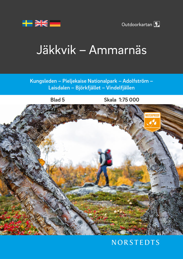
This map of Jakkvik Ammarnas in 1:75,000 is part of a series of topographic maps from Norstedts Kartforlaget which includes 28 outdoor maps covering the mountain areas and popular recreation areas in southern Sweden. The maps in this series have a new look and are printed on a durable and water resistant paper. Cartography, material


