Category Archives: Maps
Arjeplog Lantmateriet BD12

Mountain areas of central and northern Sweden on waterproof and tear-resistant, GPS compatible topographic ‘Fjรคllkartan” maps at 1:100,000 and 1:50,000 from Lantmรคteriet – the country’s national survey organization, with hiking and ski routes, campsites and youth hostels, etc. Relief is shown by contours at 20m intervals and enhanced by relief shading, plus colouring and/or graphics
Storlien – Ljungdalen Lantmateriet Z6
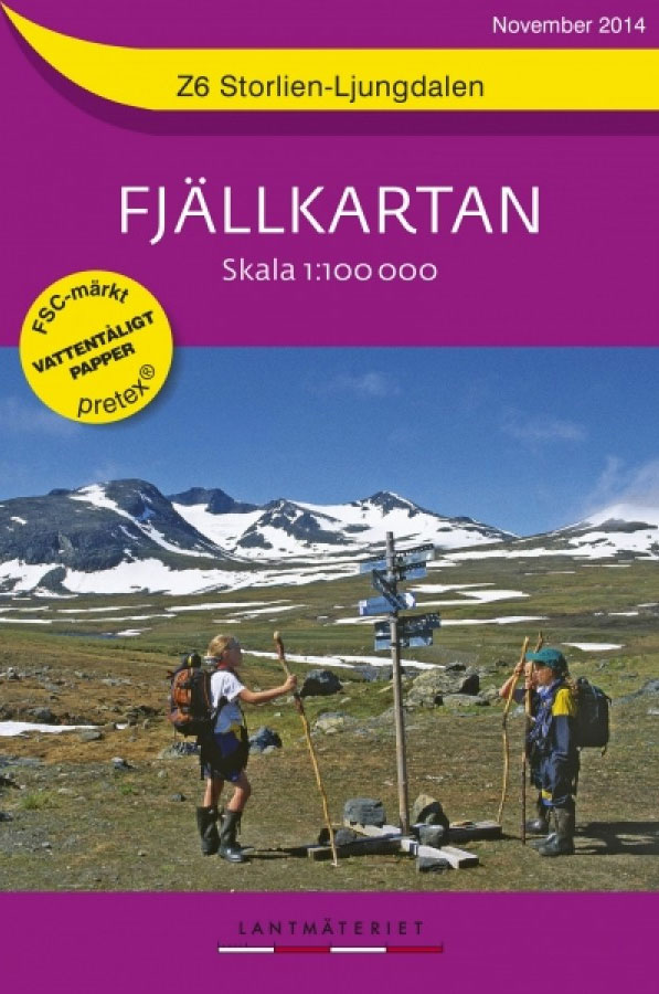
Mountain areas of central and northern Sweden on waterproof and tear-resistant, GPS compatible topographic ‘Fjรคllkartan” maps at 1:100,000 and 1:50,000 from Lantmรคteriet – the country’s national survey organization, with hiking and ski routes, campsites and youth hostels, etc. Relief is shown by contours at 20m intervals and enhanced by relief shading, plus colouring and/or graphics
Grรถvelsjรถn – Lofsdalen Lantmateriet W1

Mountain areas of central and northern Sweden on waterproof and tear-resistant, GPS compatible topographic ‘Fjรคllkartan” maps at 1:100,000 and 1:50,000 from Lantmรคteriet – the country’s national survey organization, with hiking and ski routes, campsites and youth hostels, etc. Relief is shown by contours at 20m intervals and enhanced by relief shading, plus colouring and/or graphics
Boden
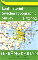
Topographic survey of Sweden at 1:50,000, the Terrรคngkartan, from the Lantmรคteriet, covering most of the country in 244 double-sided maps. Please note: the mountainous regions of central and northern Sweden are not covered by this series but presented in a separate ‘Fjรคllkartan – Mountain Map” series also listed on our website.Each 1:50,000 topographic survey map
Renskaret

Topographic survey of Sweden at 1:50,000, the Terrรคngkartan, from the Lantmรคteriet, covering most of the country in 244 double-sided maps. Please note: the mountainous regions of central and northern Sweden are not covered by this series but presented in a separate ‘Fjรคllkartan – Mountain Map” series also listed on our website.Each 1:50,000 topographic survey map
Luleรฅ

Topographic survey of Sweden at 1:50,000, the Terrรคngkartan, from the Lantmรคteriet, covering most of the country in 244 double-sided maps. Please note: the mountainous regions of central and northern Sweden are not covered by this series but presented in a separate ‘Fjรคllkartan – Mountain Map” series also listed on our website.Each 1:50,000 topographic survey map
Seskarรถ

Topographic survey of Sweden at 1:50,000, the Terrรคngkartan, from the Lantmรคteriet, covering most of the country in 244 double-sided maps. Please note: the mountainous regions of central and northern Sweden are not covered by this series but presented in a separate ‘Fjรคllkartan – Mountain Map” series also listed on our website.Each 1:50,000 topographic survey map
Kalix

Topographic survey of Sweden at 1:50,000, the Terrรคngkartan, from the Lantmรคteriet, covering most of the country in 244 double-sided maps. Please note: the mountainous regions of central and northern Sweden are not covered by this series but presented in a separate ‘Fjรคllkartan – Mountain Map” series also listed on our website.Each 1:50,000 topographic survey map
Gunnarsbyn

Topographic survey of Sweden at 1:50,000, the Terrรคngkartan, from the Lantmรคteriet, covering most of the country in 244 double-sided maps. Please note: the mountainous regions of central and northern Sweden are not covered by this series but presented in a separate ‘Fjรคllkartan – Mountain Map” series also listed on our website.Each 1:50,000 topographic survey map
Rรฅneรฅ

Topographic survey of Sweden at 1:50,000, the Terrรคngkartan, from the Lantmรคteriet, covering most of the country in 244 double-sided maps. Please note: the mountainous regions of central and northern Sweden are not covered by this series but presented in a separate ‘Fjรคllkartan – Mountain Map” series also listed on our website.Each 1:50,000 topographic survey map
Harads

Topographic survey of Sweden at 1:50,000, the Terrรคngkartan, from the Lantmรคteriet, covering most of the country in 244 double-sided maps. Please note: the mountainous regions of central and northern Sweden are not covered by this series but presented in a separate ‘Fjรคllkartan – Mountain Map” series also listed on our website.Each 1:50,000 topographic survey map
Haparanda

Topographic survey of Sweden at 1:50,000, the Terrรคngkartan, from the Lantmรคteriet, covering most of the country in 244 double-sided maps. Please note: the mountainous regions of central and northern Sweden are not covered by this series but presented in a separate ‘Fjรคllkartan – Mountain Map” series also listed on our website.Each 1:50,000 topographic survey map
ร–vertorneรฅ

Topographic survey of Sweden at 1:50,000, the Terrรคngkartan, from the Lantmรคteriet, covering most of the country in 244 double-sided maps. Please note: the mountainous regions of central and northern Sweden are not covered by this series but presented in a separate ‘Fjรคllkartan – Mountain Map” series also listed on our website.Each 1:50,000 topographic survey map
ร–verkalix

Topographic survey of Sweden at 1:50,000, the Terrรคngkartan, from the Lantmรคteriet, covering most of the country in 244 double-sided maps. Please note: the mountainous regions of central and northern Sweden are not covered by this series but presented in a separate ‘Fjรคllkartan – Mountain Map” series also listed on our website.Each 1:50,000 topographic survey map
Korpilompolo

Topographic survey of Sweden at 1:50,000, the Terrรคngkartan, from the Lantmรคteriet, covering most of the country in 244 double-sided maps. Please note: the mountainous regions of central and northern Sweden are not covered by this series but presented in a separate ‘Fjรคllkartan – Mountain Map” series also listed on our website.Each 1:50,000 topographic survey map
Svanstein

Topographic survey of Sweden at 1:50,000, the Terrรคngkartan, from the Lantmรคteriet, covering most of the country in 244 double-sided maps. Please note: the mountainous regions of central and northern Sweden are not covered by this series but presented in a separate ‘Fjรคllkartan – Mountain Map” series also listed on our website.Each 1:50,000 topographic survey map
Sweden Wall Map
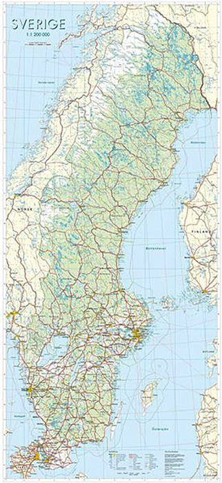
Sweden on a wall map at 1:1,000,000 from Norstedts, size 74x160cm (29″x63″ approx), showing the country’s road and rail networks on a base with very effective presentation of the landscape by satellite-based relief shading and colouring for woodlands, marshes, etc, plus plenty of spot heights, names of various topographic features and boundaries of national parks.
ร…re Lantmateriet Z51
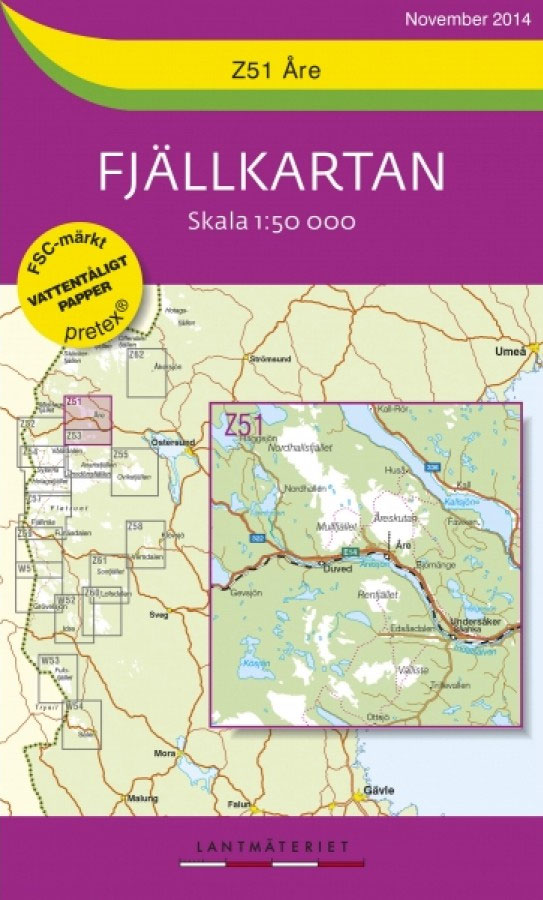
Mountain areas of central and northern Sweden on waterproof and tear-resistant, GPS compatible topographic ‘Fjรคllkartan” maps at 1:100,000 and 1:50,000 from Lantmรคteriet – the country’s national survey organization, with hiking and ski routes, campsites and youth hostels, etc. Relief is shown by contours at 20m intervals and enhanced by relief shading, plus colouring and/or graphics
Storlien – Blรฅhammaren Lantmateriet Z52
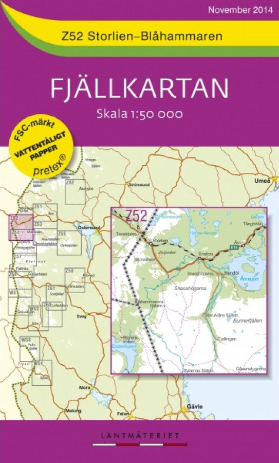
Mountain areas of central and northern Sweden on waterproof and tear-resistant, GPS compatible topographic ‘Fjรคllkartan” maps at 1:100,000 and 1:50,000 from Lantmรคteriet – the country’s national survey organization, with hiking and ski routes, campsites and youth hostels, etc. Relief is shown by contours at 20m intervals and enhanced by relief shading, plus colouring and/or graphics
Valadalsfjallen Lantmateriet Z53

Mountain areas of central and northern Sweden on waterproof and tear-resistant, GPS compatible topographic ‘Fjรคllkartan” maps at 1:100,000 and 1:50,000 from Lantmรคteriet – the country’s national survey organization, with hiking and ski routes, campsites and youth hostels, etc. Relief is shown by contours at 20m intervals and enhanced by relief shading, plus colouring and/or graphics


