Category Archives: Maps
Chennai (Madras)
Indexed street plan of Chennai (Madras) covering the city with its outer districts including Tambaram, Ambattur and Ennore, plus a road map of the surrounding region and a booklet with practical information and descriptions of main sights.The plan shows names of local neighbourhoods (colonies) and districts. Only main streets are named, principal traffic routes are
Sรคlen Lantmateriet W54
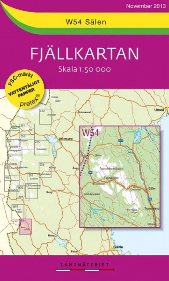
Mountain areas of central and northern Sweden on waterproof and tear-resistant, GPS compatible topographic ‘Fjรคllkartan” maps at 1:100,000 and 1:50,000 from Lantmรคteriet – the country’s national survey organization, with hiking and ski routes, campsites and youth hostels, etc. Relief is shown by contours at 20m intervals and enhanced by relief shading, plus colouring and/or graphics
India Road Atlas
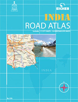
Road Atlas of India from Eicher Goodearth in a hand, 17.5x23cm paperback format, with 17 city centre street plans of main cities, 14 plans of heritage sites, extensive index, etc.The atlas covers the whole country at 1:1,000,000, with Jammu and Kashmir plus Lakshadweep, Andaman and Nicobar Islands at 1:2,000,000, and the environs of Delhi at
Tรคrnaby – Hemavan – Ammarnรคs Lantmateriet AC2
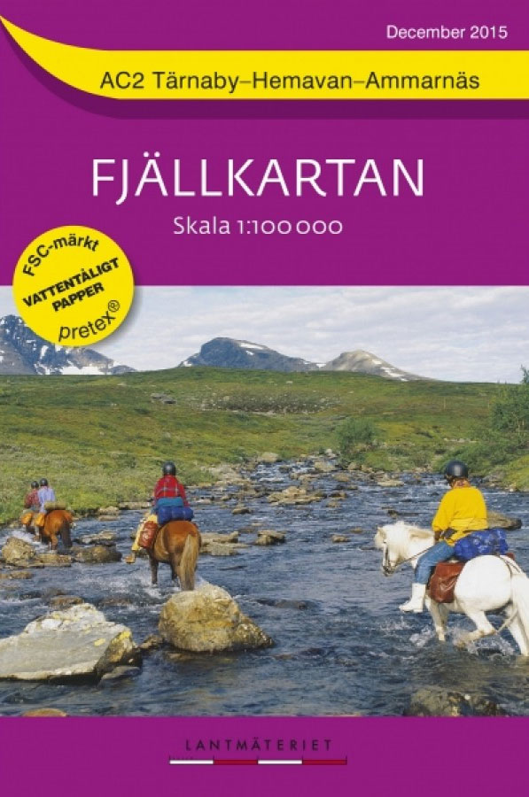
Mountain areas of central and northern Sweden on waterproof and tear-resistant, GPS compatible topographic ‘Fjรคllkartan” maps at 1:100,000 and 1:50,000 from Lantmรคteriet – the country’s national survey organization, with hiking and ski routes, campsites and youth hostels, etc. Relief is shown by contours at 20m intervals and enhanced by relief shading, plus colouring and/or graphics
Kvikkjokk – Jรคkkvik Lantmateriet BD14

Mountain areas of central and northern Sweden on waterproof and tear-resistant, GPS compatible topographic ‘Fjรคllkartan” maps at 1:100,000 and 1:50,000 from Lantmรคteriet – the country’s national survey organization, with hiking and ski routes, campsites and youth hostels, etc. Relief is shown by contours at 20m intervals and enhanced by relief shading, plus colouring and/or graphics
Nasafjรคllet Lantmateriet BD15
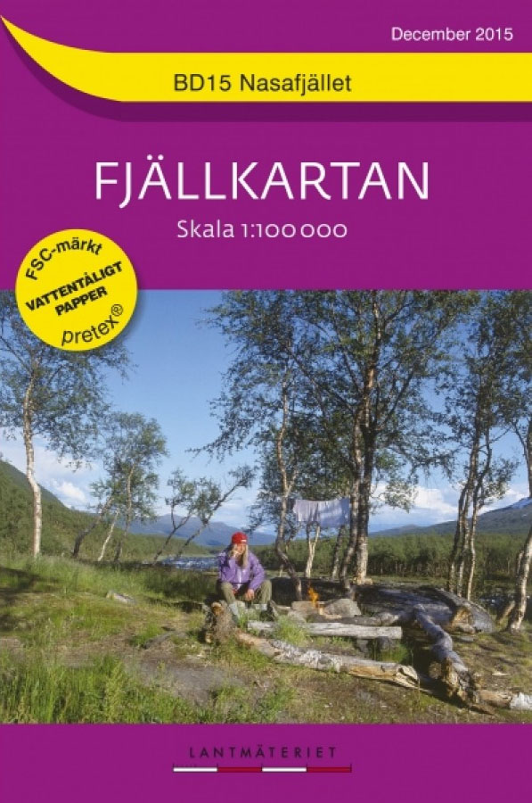
Mountain areas of central and northern Sweden on waterproof and tear-resistant, GPS compatible topographic ‘Fjรคllkartan” maps at 1:100,000 and 1:50,000 from Lantmรคteriet – the country’s national survey organization, with hiking and ski routes, campsites and youth hostels, etc. Relief is shown by contours at 20m intervals and enhanced by relief shading, plus colouring and/or graphics
Treriksrรถset – Rostojavri Lantmateriet BD1
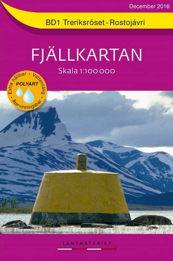
Mountain areas of central and northern Sweden on waterproof and tear-resistant, GPS compatible topographic ‘Fjรคllkartan” maps at 1:100,000 and 1:50,000 from Lantmรคteriet – the country’s national survey organization, with hiking and ski routes, campsites and youth hostels, etc. Relief is shown by contours at 20m intervals and enhanced by relief shading, plus colouring and/or graphics
Rensjon – Pulsujarvi Lantmateriet BD3

Mountain areas of central and northern Sweden on waterproof and tear-resistant, GPS compatible topographic ‘Fjรคllkartan” maps at 1:100,000 and 1:50,000 from Lantmรคteriet – the country’s national survey organization, with hiking and ski routes, campsites and youth hostels, etc. Relief is shown by contours at 20m intervals and enhanced by relief shading, plus colouring and/or graphics
Kiruna Lantmateriet BD4
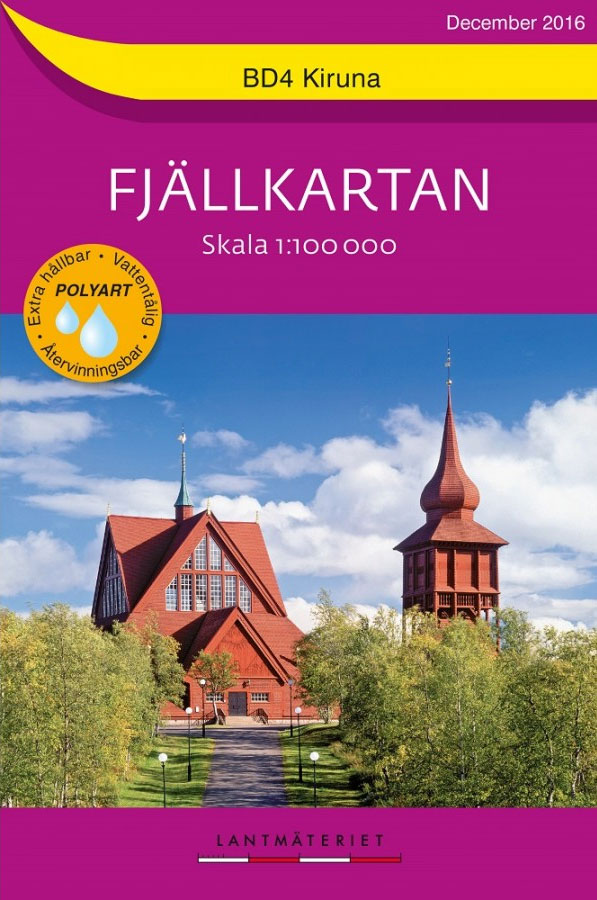
Mountain areas of central and northern Sweden on waterproof and tear-resistant, GPS compatible topographic ‘Fjรคllkartan” maps at 1:100,000 and 1:50,000 from Lantmรคteriet – the country’s national survey organization, with hiking and ski routes, campsites and youth hostels, etc. Relief is shown by contours at 20m intervals and enhanced by relief shading, plus colouring and/or graphics
Padjelanta – Sulitelma Lantmateriet BD9
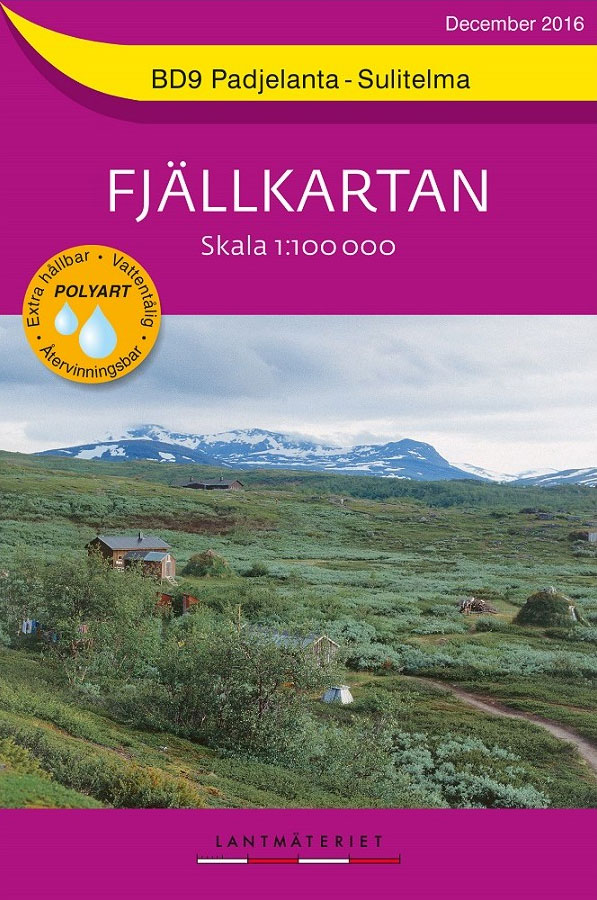
Mountain areas of central and northern Sweden on waterproof and tear-resistant, GPS compatible topographic ‘Fjรคllkartan” maps at 1:100,000 and 1:50,000 from Lantmรคteriet – the country’s national survey organization, with hiking and ski routes, campsites and youth hostels, etc. Relief is shown by contours at 20m intervals and enhanced by relief shading, plus colouring and/or graphics
Sareks National Park Lantmateriet BD10

Mountain areas of central and northern Sweden on waterproof and tear-resistant, GPS compatible topographic ‘Fjรคllkartan” maps at 1:100,000 and 1:50,000 from Lantmรคteriet – the country’s national survey organization, with hiking and ski routes, campsites and youth hostels, etc. Relief is shown by contours at 20m intervals and enhanced by relief shading, plus colouring and/or graphics
Tjamotis Lantmateriet BD11

Mountain areas of central and northern Sweden on waterproof and tear-resistant, GPS compatible topographic ‘Fjรคllkartan” maps at 1:100,000 and 1:50,000 from Lantmรคteriet – the country’s national survey organization, with hiking and ski routes, campsites and youth hostels, etc. Relief is shown by contours at 20m intervals and enhanced by relief shading, plus colouring and/or graphics
Oviksfjรคllen Lantmateriet Z55

Mountain areas of central and northern Sweden on waterproof and tear-resistant, GPS compatible topographic ‘Fjรคllkartan” maps at 1:100,000 and 1:50,000 from Lantmรคteriet – the country’s national survey organization, with hiking and ski routes, campsites and youth hostels, etc. Relief is shown by contours at 20m intervals and enhanced by relief shading, plus colouring and/or graphics
Arjeplog Lantmateriet BD12

Mountain areas of central and northern Sweden on waterproof and tear-resistant, GPS compatible topographic ‘Fjรคllkartan” maps at 1:100,000 and 1:50,000 from Lantmรคteriet – the country’s national survey organization, with hiking and ski routes, campsites and youth hostels, etc. Relief is shown by contours at 20m intervals and enhanced by relief shading, plus colouring and/or graphics
Storlien – Ljungdalen Lantmateriet Z6
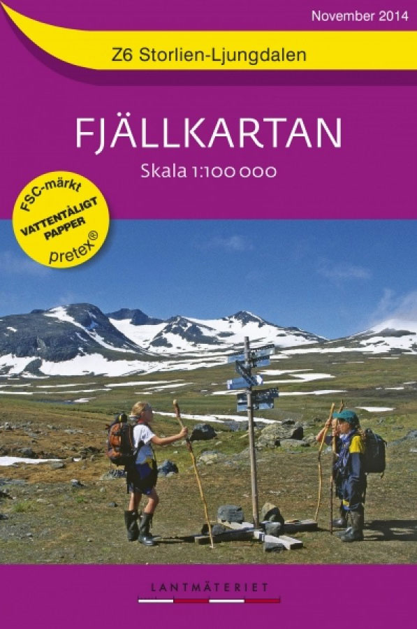
Mountain areas of central and northern Sweden on waterproof and tear-resistant, GPS compatible topographic ‘Fjรคllkartan” maps at 1:100,000 and 1:50,000 from Lantmรคteriet – the country’s national survey organization, with hiking and ski routes, campsites and youth hostels, etc. Relief is shown by contours at 20m intervals and enhanced by relief shading, plus colouring and/or graphics
Grรถvelsjรถn – Lofsdalen Lantmateriet W1

Mountain areas of central and northern Sweden on waterproof and tear-resistant, GPS compatible topographic ‘Fjรคllkartan” maps at 1:100,000 and 1:50,000 from Lantmรคteriet – the country’s national survey organization, with hiking and ski routes, campsites and youth hostels, etc. Relief is shown by contours at 20m intervals and enhanced by relief shading, plus colouring and/or graphics
ร…re – Vรฅlรฅdalen – Bydalen Lantmateriet Z7
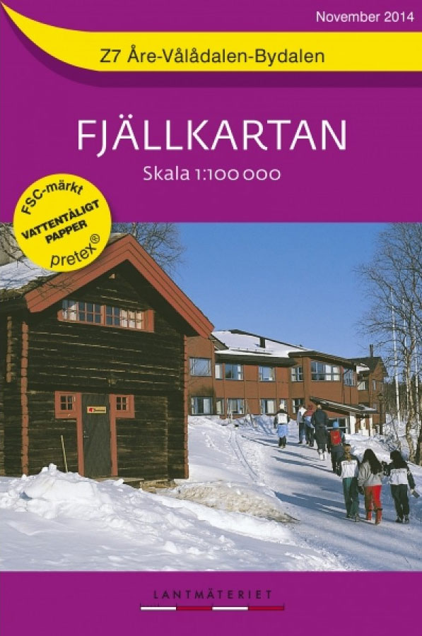
Mountain areas of central and northern Sweden on waterproof and tear-resistant, GPS compatible topographic ‘Fjรคllkartan” maps at 1:100,000 and 1:50,000 from Lantmรคteriet – the country’s national survey organization, with hiking and ski routes, campsites and youth hostels, etc. Relief is shown by contours at 20m intervals and enhanced by relief shading, plus colouring and/or graphics
Fulufjรคllet – Sรคlen Lantmateriet W2
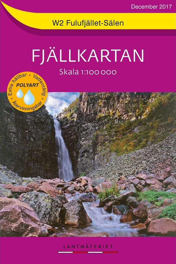
Mountain areas of central and northern Sweden on waterproof and tear-resistant, GPS compatible topographic ‘Fjรคllkartan” maps at 1:100,000 and 1:50,000 from Lantmรคteriet – the country’s national survey organization, with hiking and ski routes, campsites and youth hostels, etc. Relief is shown by contours at 20m intervals and enhanced by relief shading, plus colouring and/or graphics
Helags – Funรคsdalen – Rogen Lantmateriet Z8

Mountain areas of central and northern Sweden on waterproof and tear-resistant, GPS compatible topographic ‘Fjรคllkartan” maps at 1:100,000 and 1:50,000 from Lantmรคteriet – the country’s national survey organization, with hiking and ski routes, campsites and youth hostels, etc. Relief is shown by contours at 20m intervals and enhanced by relief shading, plus colouring and/or graphics
Grรถvelsjรถn – Rogen Lantmateriet W51
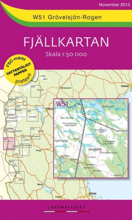
Mountain areas of central and northern Sweden on waterproof and tear-resistant, GPS compatible topographic ‘Fjรคllkartan” maps at 1:100,000 and 1:50,000 from Lantmรคteriet – the country’s national survey organization, with hiking and ski routes, campsites and youth hostels, etc. Relief is shown by contours at 20m intervals and enhanced by relief shading, plus colouring and/or graphics


