Category Archives: Maps
Arlon NGI Topo 68-69

Topographical survey of Belgium at 1:50,000 from the country’s national survey organization, Nationaal Geografisch Instituut / Institut Gรฉographique National. Contour interval varies according to the terrain, from 2.5 metres in the coastal areas to 10 metres in the Ardennes. The maps provide all the information expected of topographic mapping at this scale and additionally have
The Purveyors of Destiny: A Cultural Biography of the Indian Railways
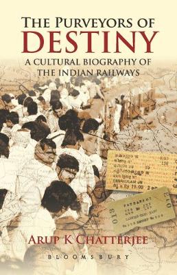
In 1853 Karl Marx predicted the Indian Railways would foster the growth of parallel industries `not immediately connected with the railways.` But the most successful industry-which Marx could not possibly have dreamed of-was that of cultural representations of the railways, which began even before the railways, themselves. From Rudyard Kipling to Mark Twain to R.K.
Tokyo Street Food

The latest episode in the adventures of culinary explorer Tom Vandenberghe and food photographer Luk Thys takes place in Tokyo. With an eye for authenticity and a nose for delicious dishes, they stroll around in the Japanese capital, seeking new culinary discoveries. They taste as much as possible and share their surprising experiences in this
The Konyaks: Last of the Tattooed Headhunters
Kolkata / Calcutta Street Atlas
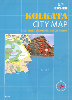
Kolkata Street Atlas (publisher title Kolkata City Map) from Eicher Goodearth, indexed by road and place name and at a scale of 1:10,000, is actually more accurately described as a street atlas of Kolkata and its surrounding areas. Coverage includes Hoara, Barrackpur, Kalyani and Barsat, with more detailed pages showing Kolkata centre at a scale
Delhi Street Atlas
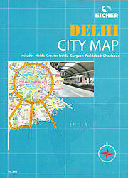
Delhi in a paperback, 17x24cm, 315-page paperback street atlas at 1:12,500, including the neighbouring Noida, Gurgaon, Ghaziabad and Faridabad, with details including house numbers, plus an index listing 15,000 roads, colonies, important buildings, places of interest, etc. The atlas has very well designed, clear cartography, with colours indicating residential and industrial areas, slums (Jhuggi Jhompri
Golden Triangle Road Map – Delhi – Agra – Jaipur
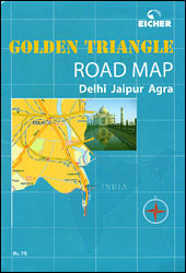
India’s Golden Triangle between Delhi, Agra and Jaipur on a road map at approx. 1:400,000 with on the reverse large, clear street plans of these three cities, all indexed, plus a 19-page colour booklet with general information and descriptions of main sights.On one side is a road map showing the network of main and selected
Idre Lantmateriet W52
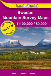
Mountain areas of central and northern Sweden on waterproof and tear-resistant, GPS compatible topographic ‘Fjรคllkartan” maps at 1:100,000 and 1:50,000 from Lantmรคteriet – the country’s national survey organization, with hiking and ski routes, campsites and youth hostels, etc. Relief is shown by contours at 20m intervals and enhanced by relief shading, plus colouring and/or graphics
Hyderabad
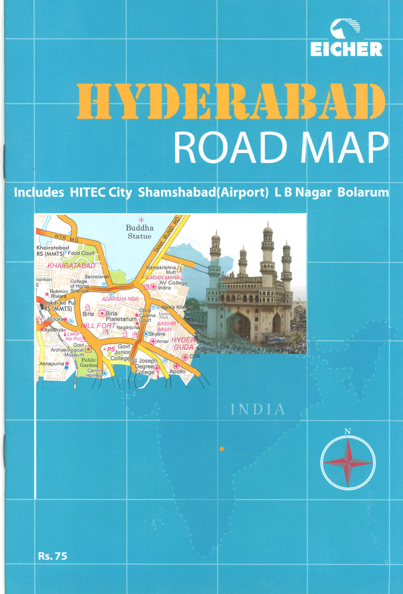
Hyderabad and Secunderabad on an indexed street plan at 1:41,700 approx. from Eicher with enlargements of the city centre and the Cyberbad Hitech City area, plus a road map of Andhra Pradesh, and a 16-page booklet describing the city’s sights.On one side is a street plan covering the whole city at 1:41,700 approx. Coverage includes
Fulufjรคllet Lantmateriet W53
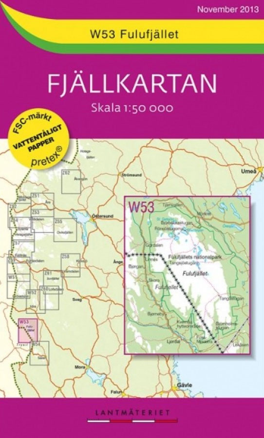
Mountain areas of central and northern Sweden on waterproof and tear-resistant, GPS compatible topographic ‘Fjรคllkartan” maps at 1:100,000 and 1:50,000 from Lantmรคteriet – the country’s national survey organization, with hiking and ski routes, campsites and youth hostels, etc. Relief is shown by contours at 20m intervals and enhanced by relief shading, plus colouring and/or graphics
Chennai (Madras)
Indexed street plan of Chennai (Madras) covering the city with its outer districts including Tambaram, Ambattur and Ennore, plus a road map of the surrounding region and a booklet with practical information and descriptions of main sights.The plan shows names of local neighbourhoods (colonies) and districts. Only main streets are named, principal traffic routes are
Sรคlen Lantmateriet W54
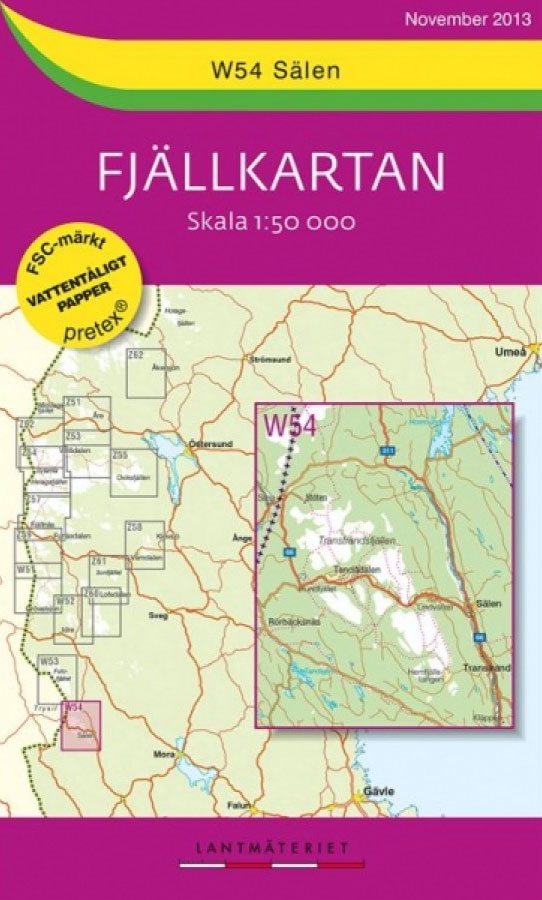
Mountain areas of central and northern Sweden on waterproof and tear-resistant, GPS compatible topographic ‘Fjรคllkartan” maps at 1:100,000 and 1:50,000 from Lantmรคteriet – the country’s national survey organization, with hiking and ski routes, campsites and youth hostels, etc. Relief is shown by contours at 20m intervals and enhanced by relief shading, plus colouring and/or graphics
India Road Atlas
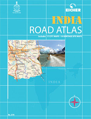
Road Atlas of India from Eicher Goodearth in a hand, 17.5x23cm paperback format, with 17 city centre street plans of main cities, 14 plans of heritage sites, extensive index, etc.The atlas covers the whole country at 1:1,000,000, with Jammu and Kashmir plus Lakshadweep, Andaman and Nicobar Islands at 1:2,000,000, and the environs of Delhi at
Klรถvsjรถ – Vemdalen Lantmateriet Z58
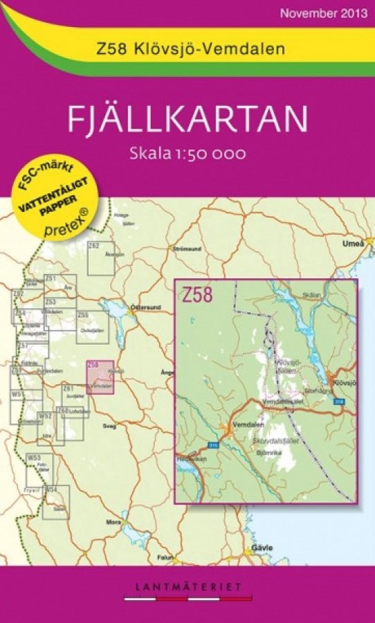
Mountain areas of central and northern Sweden on waterproof and tear-resistant, GPS compatible topographic ‘Fjรคllkartan” maps at 1:100,000 and 1:50,000 from Lantmรคteriet – the country’s national survey organization, with hiking and ski routes, campsites and youth hostels, etc. Relief is shown by contours at 20m intervals and enhanced by relief shading, plus colouring and/or graphics
The Circle of Karma
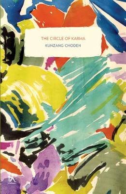
The first English-language novel ever written by a woman from the Himalayan nation of Bhutan, The Circle of Karma has engaged and absorbed readers from around the world since its 2005 publication. Written originally in English, it tells the story of Tsomo, a fifteen-year-old girl caught up in the everyday realities of household life and
Lofsdalen Lantmateriet Z60

Mountain areas of central and northern Sweden on waterproof and tear-resistant, GPS compatible topographic ‘Fjรคllkartan” maps at 1:100,000 and 1:50,000 from Lantmรคteriet – the country’s national survey organization, with hiking and ski routes, campsites and youth hostels, etc. Relief is shown by contours at 20m intervals and enhanced by relief shading, plus colouring and/or graphics
Sonfjรคllet Lantmateriet Z61

Mountain areas of central and northern Sweden on waterproof and tear-resistant, GPS compatible topographic ‘Fjรคllkartan” maps at 1:100,000 and 1:50,000 from Lantmรคteriet – the country’s national survey organization, with hiking and ski routes, campsites and youth hostels, etc. Relief is shown by contours at 20m intervals and enhanced by relief shading, plus colouring and/or graphics


