Category Archives: Maps
Geel NGI Topo 16/7-8

Topographical survey of Belgium at 1:20,000 from Nationaal Geografisch Instituut / Institut Gรฉographique National, the country’s national survey organization. Each 20K map covers one quarter of the corresponding 1:50,000 map (with adjustments in the border and coastal areas). The maps provide all the information expected of topographic mapping at this scale and additionally have an
Ciney NGI Topo 54/1-2
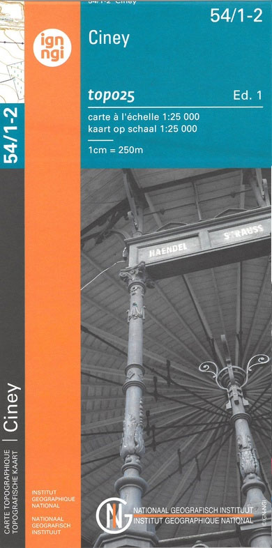
Topographical survey of Belgium at 1:20,000 from Nationaal Geografisch Instituut / Institut Gรฉographique National, the country’s national survey organization. Each 20K map covers one quarter of the corresponding 1:50,000 map (with adjustments in the border and coastal areas). The maps provide all the information expected of topographic mapping at this scale and additionally have an
Somme-Leuze NGI Topo 54/3-4
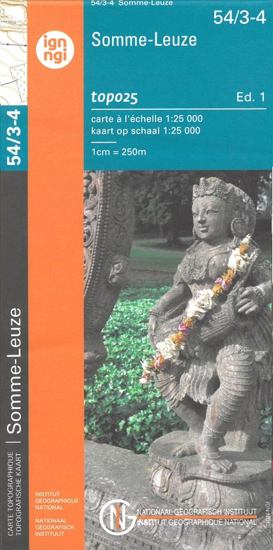
Topographical survey of Belgium at 1:20,000 from Nationaal Geografisch Instituut / Institut Gรฉographique National, the country’s national survey organization. Each 20K map covers one quarter of the corresponding 1:50,000 map (with adjustments in the border and coastal areas). The maps provide all the information expected of topographic mapping at this scale and additionally have an
The Purveyors of Destiny: A Cultural Biography of the Indian Railways
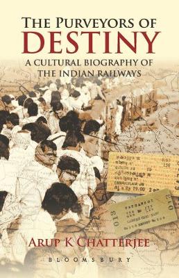
In 1853 Karl Marx predicted the Indian Railways would foster the growth of parallel industries `not immediately connected with the railways.` But the most successful industry-which Marx could not possibly have dreamed of-was that of cultural representations of the railways, which began even before the railways, themselves. From Rudyard Kipling to Mark Twain to R.K.
Tokyo Street Food

The latest episode in the adventures of culinary explorer Tom Vandenberghe and food photographer Luk Thys takes place in Tokyo. With an eye for authenticity and a nose for delicious dishes, they stroll around in the Japanese capital, seeking new culinary discoveries. They taste as much as possible and share their surprising experiences in this
Vodka: The Complete Guide
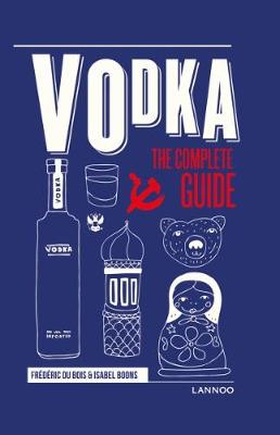
For a long time vodka has been more than just Russia and Poland`s national drink. From Asia and Great-Britain to the United States: this fire water has conquered the world and is now the most sold spirit internationally. The term `fire water` refers to its most distinguishable quality: a neutral spirit, without smell and with
Cycling in the Great War
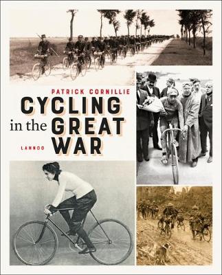
On 28 June 1914, there were two almost simultaneous shots. In Paris, the twelfth Tour de France was about to start, while in Sarajevo the Austrian crown prince Franz Ferdinand was assassinated. Professional cycle racing came to a halt, but the first cycling heroes continued to race. The Belgian cycling author Patrick Cornillie takes us
Tongres NGI Topographic Map 34
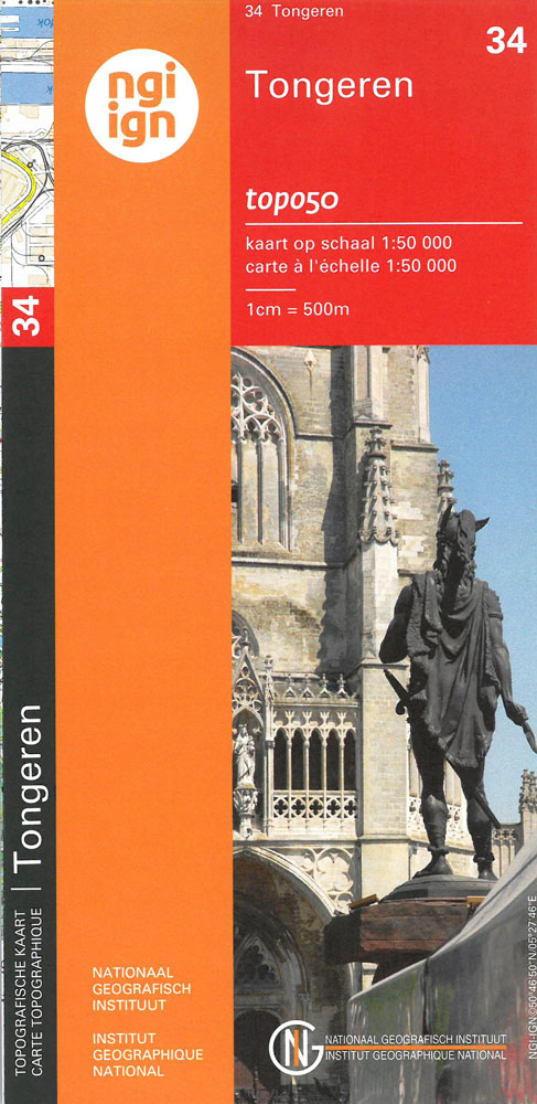
Topographical survey of Belgium at 1:50,000 from the country’s national survey organization, Nationaal Geografisch Instituut / Institut Gรฉographique National. Contour interval varies according to the terrain, from 2.5 metres in the coastal areas to 10 metres in the Ardennes. The maps provide all the information expected of topographic mapping at this scale and additionally have
Nivelles NGI Topo 39 – Battle of Waterloo Area
Nivelles, map No. 39 in the topographic survey of Belgium at 1:50, covering both the main area of the Battle of Waterloo on 18th June 1815 including the Mont St-Jean escarpment, the Lion’s Mound (Lion’s Hillock) and the museum, and the Les Quatre Bras crossroads – the site of French victory on 16th June.Although not
Mechelen NGI Topo 23

Topographical survey of Belgium at 1:50,000 from the country’s national survey organization, Nationaal Geografisch Instituut / Institut Gรฉographique National. Contour interval varies according to the terrain, from 2.5 metres in the coastal areas to 10 metres in the Ardennes. The maps provide all the information expected of topographic mapping at this scale and additionally have
Brussels NGI Topographic Map 31
Topographical survey of Belgium at 1:50,000 from the country’s national survey organization, Nationaal Geografisch Instituut / Institut Gรฉographique National. Contour interval varies according to the terrain, from 2.5 metres in the coastal areas to 10 metres in the Ardennes. The maps provide all the information expected of topographic mapping at this scale and additionally have
Leuven NGI Topographic Map 32
Topographical survey of Belgium at 1:50,000 from the country’s national survey organization, Nationaal Geografisch Instituut / Institut Gรฉographique National. Contour interval varies according to the terrain, from 2.5 metres in the coastal areas to 10 metres in the Ardennes. The maps provide all the information expected of topographic mapping at this scale and additionally have
Tournai NGI Topographic Map 37
Topographical survey of Belgium at 1:50,000 from the country’s national survey organization, Nationaal Geografisch Instituut / Institut Gรฉographique National. Contour interval varies according to the terrain, from 2.5 metres in the coastal areas to 10 metres in the Ardennes. The maps provide all the information expected of topographic mapping at this scale and additionally have
Limerlรฉ NGI Topographic Map 61
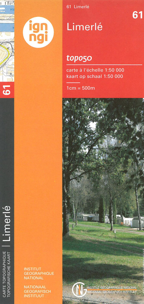
Topographical survey of Belgium at 1:50,000 from the country’s national survey organization, Nationaal Geografisch Instituut / Institut Gรฉographique National. Contour interval varies according to the terrain, from 2.5 metres in the coastal areas to 10 metres in the Ardennes. The maps provide all the information expected of topographic mapping at this scale and additionally have
Do!
Do! is a set of action pictures, rendered in the Warli style of tribal art. It introduces basic verbs to the young reader through a seriesof brilliantly drawn pictograms, which illustrate the verb and tell a story. Warli art is done by people belonging to a tribal community that lives in Maharashtra, in Western India.
Spa NGI Topo 49

Topographical survey of Belgium at 1:50,000 from the country’s national survey organization, Nationaal Geografisch Instituut / Institut Gรฉographique National. Contour interval varies according to the terrain, from 2.5 metres in the coastal areas to 10 metres in the Ardennes. The maps provide all the information expected of topographic mapping at this scale and additionally have
Sultana`s Dream
Sultana`s Dream first appeared in 1905, ten years before the American feminist and novelist, Charlotte P. Gilman, published her feminist utopia Herland. Sultana`s Dream is an appealing story of reversed purdah – the seclusion of women – in Ladyland, where peace-loving women overpower aggressive men through the power of their brains. This edition of Sultana`s
Saint-Hubert NGI Topo 59
Topographical survey of Belgium at 1:50,000 from the country’s national survey organization, Nationaal Geografisch Instituut / Institut Gรฉographique National. Contour interval varies according to the terrain, from 2.5 metres in the coastal areas to 10 metres in the Ardennes. The maps provide all the information expected of topographic mapping at this scale and additionally have
Captain Coconut: And the Case of the Missing Bananas
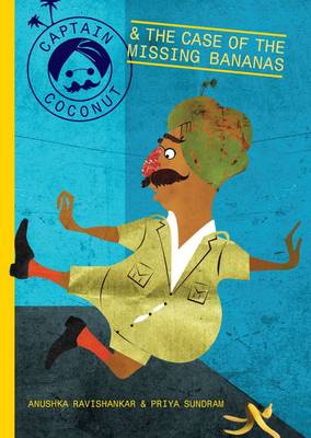
Ace Detective Captain Coconut, who proclaims he can solve any mystery large or small, is called in to investigate the case of the missing bananas. He soon finds himself on a slippery trail of peels and missing numbers. Anushka Ravishankar, India`s best known writer of nonsense verse, is at her best in this absurd yet


