Category Archives: Maps
Alken NGI Topo 33/3-4
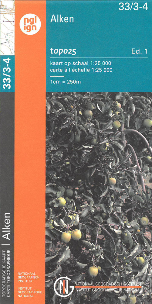
Topographical survey of Belgium at 1:20,000 from Nationaal Geografisch Instituut / Institut Gรฉographique National, the country’s national survey organization. Each 20K map covers one quarter of the corresponding 1:50,000 map (with adjustments in the border and coastal areas). The maps provide all the information expected of topographic mapping at this scale and additionally have an
Sint-Truiden NGI Topo 33/5-6
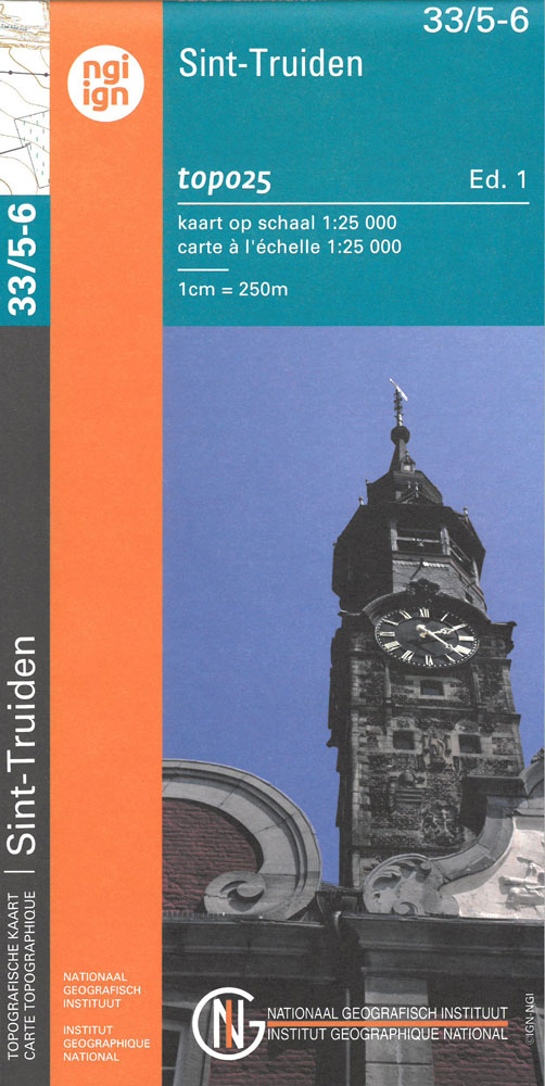
Topographical survey of Belgium at 1:20,000 from Nationaal Geografisch Instituut / Institut Gรฉographique National, the country’s national survey organization. Each 20K map covers one quarter of the corresponding 1:50,000 map (with adjustments in the border and coastal areas). The maps provide all the information expected of topographic mapping at this scale and additionally have an
Borgloon NGI Topo 33/7-8
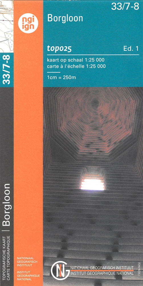
Topographical survey of Belgium at 1:20,000 from Nationaal Geografisch Instituut / Institut Gรฉographique National, the country’s national survey organization. Each 20K map covers one quarter of the corresponding 1:50,000 map (with adjustments in the border and coastal areas). The maps provide all the information expected of topographic mapping at this scale and additionally have an
Durbuy NGI Topo 55
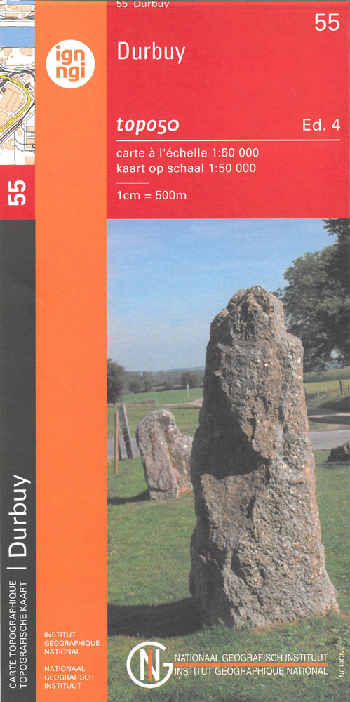
Topographical survey of Belgium at 1:50,000 from the country’s national survey organization, Nationaal Geografisch Instituut / Institut Gรฉographique National. Contour interval varies according to the terrain, from 2.5 metres in the coastal areas to 10 metres in the Ardennes. The maps provide all the information expected of topographic mapping at this scale and additionally have
Beveren NGI Topo 15/1-2
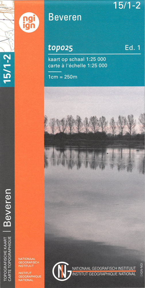
Topographical survey of Belgium at 1:20,000 from Nationaal Geografisch Instituut / Institut Gรฉographique National, the country’s national survey organization. Each 20K map covers one quarter of the corresponding 1:50,000 map (with adjustments in the border and coastal areas). The maps provide all the information expected of topographic mapping at this scale and additionally have an
Sankt Vith NGI Topo 56-56A
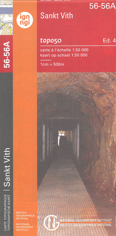
Topographical survey of Belgium at 1:50,000 from the country’s national survey organization, Nationaal Geografisch Instituut / Institut Gรฉographique National. Contour interval varies according to the terrain, from 2.5 metres in the coastal areas to 10 metres in the Ardennes. The maps provide all the information expected of topographic mapping at this scale and additionally have
Meerle NGI Topo 02/6-7
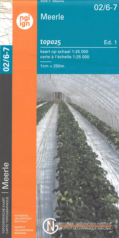
Topographical survey of Belgium at 1:20,000 from Nationaal Geografisch Instituut / Institut Gรฉographique National, the country’s national survey organization. Each 20K map covers one quarter of the corresponding 1:50,000 map (with adjustments in the border and coastal areas). The maps provide all the information expected of topographic mapping at this scale and additionally have an
Hoogstraten NGI Topo 08/1-2
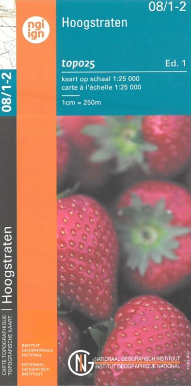
Topographical survey of Belgium at 1:20,000 from Nationaal Geografisch Instituut / Institut Gรฉographique National, the country’s national survey organization. Each 20K map covers one quarter of the corresponding 1:50,000 map (with adjustments in the border and coastal areas). The maps provide all the information expected of topographic mapping at this scale and additionally have an
Baarle-Hertog NGI Topo 08/3-4
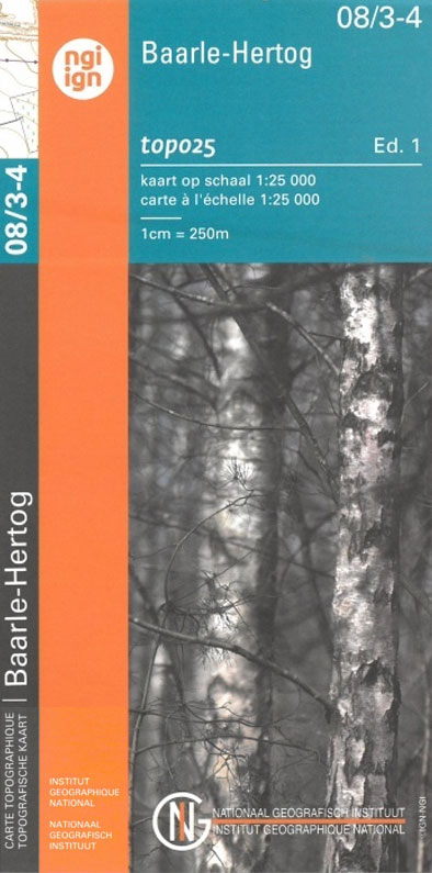
Topographical survey of Belgium at 1:20,000 from Nationaal Geografisch Instituut / Institut Gรฉographique National, the country’s national survey organization. Each 20K map covers one quarter of the corresponding 1:50,000 map (with adjustments in the border and coastal areas). The maps provide all the information expected of topographic mapping at this scale and additionally have an
Brecht NGI Topo 08/5-6
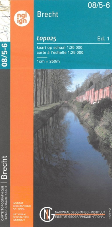
Topographical survey of Belgium at 1:20,000 from Nationaal Geografisch Instituut / Institut Gรฉographique National, the country’s national survey organization. Each 20K map covers one quarter of the corresponding 1:50,000 map (with adjustments in the border and coastal areas). The maps provide all the information expected of topographic mapping at this scale and additionally have an
Turnhout NGI Topo 08/7-8
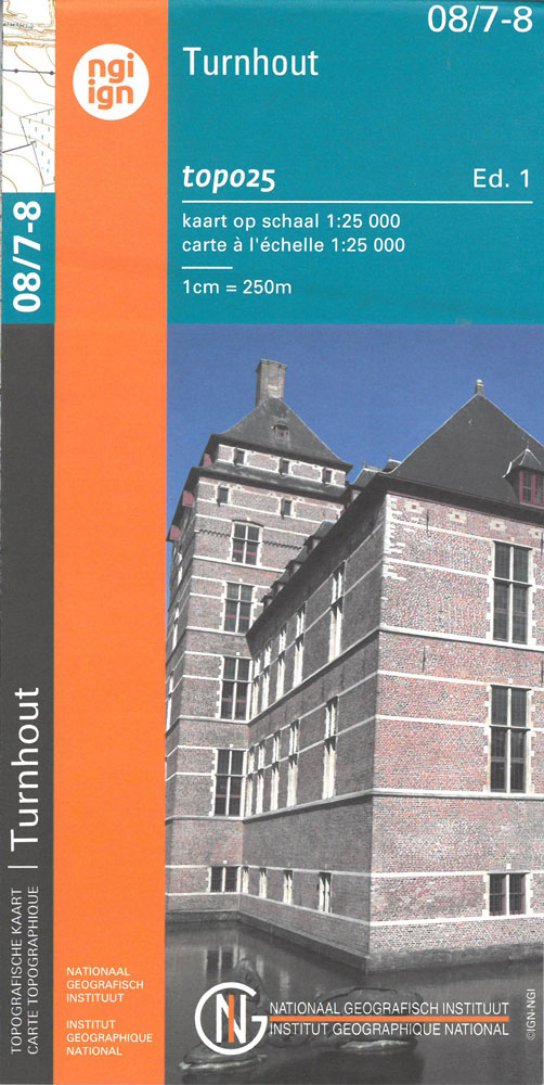
Topographical survey of Belgium at 1:20,000 from Nationaal Geografisch Instituut / Institut Gรฉographique National, the country’s national survey organization. Each 20K map covers one quarter of the corresponding 1:50,000 map (with adjustments in the border and coastal areas). The maps provide all the information expected of topographic mapping at this scale and additionally have an
Achel-Station NGI Topo 10/5-6
Topographical survey of Belgium at 1:20,000 from Nationaal Geografisch Instituut / Institut Gรฉographique National, the country’s national survey organization. Each 20K map covers one quarter of the corresponding 1:50,000 map (with adjustments in the border and coastal areas). The maps provide all the information expected of topographic mapping at this scale and additionally have an
Brugge NGI Topo 13/1-2
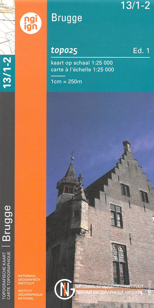
Topographical survey of Belgium at 1:20,000 from Nationaal Geografisch Instituut / Institut Gรฉographique National, the country’s national survey organization. Each 20K map covers one quarter of the corresponding 1:50,000 map (with adjustments in the border and coastal areas). The maps provide all the information expected of topographic mapping at this scale and additionally have an
Eeklo NGI Topo 13/3-4
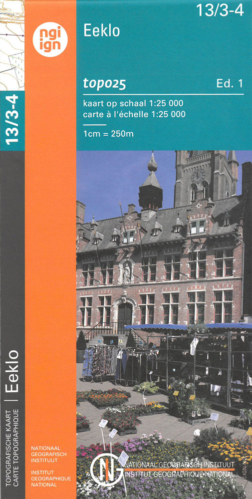
Topographical survey of Belgium at 1:20,000 from Nationaal Geografisch Instituut / Institut Gรฉographique National, the country’s national survey organization. Each 20K map covers one quarter of the corresponding 1:50,000 map (with adjustments in the border and coastal areas). The maps provide all the information expected of topographic mapping at this scale and additionally have an
Oostkamp NGI Topo 13/5-6
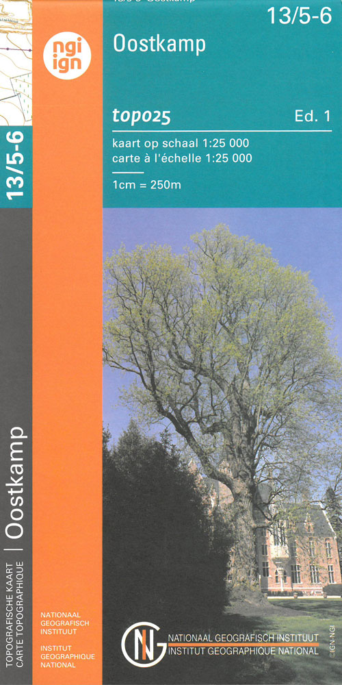
Topographical survey of Belgium at 1:20,000 from Nationaal Geografisch Instituut / Institut Gรฉographique National, the country’s national survey organization. Each 20K map covers one quarter of the corresponding 1:50,000 map (with adjustments in the border and coastal areas). The maps provide all the information expected of topographic mapping at this scale and additionally have an
Zomergem NGI Topo 13/7-8
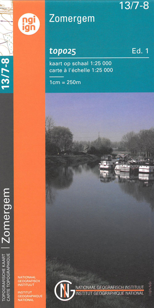
Topographical survey of Belgium at 1:20,000 from Nationaal Geografisch Instituut / Institut Gรฉographique National, the country’s national survey organization. Each 20K map covers one quarter of the corresponding 1:50,000 map (with adjustments in the border and coastal areas). The maps provide all the information expected of topographic mapping at this scale and additionally have an
Assenede NGI Topo 14/1-2

Topographical survey of Belgium at 1:20,000 from Nationaal Geografisch Instituut / Institut Gรฉographique National, the country’s national survey organization. Each 20K map covers one quarter of the corresponding 1:50,000 map (with adjustments in the border and coastal areas). The maps provide all the information expected of topographic mapping at this scale and additionally have an
Mol NGI Topo 17

Topographical survey of Belgium at 1:50,000 from the country’s national survey organization, Nationaal Geografisch Instituut / Institut Gรฉographique National. Contour interval varies according to the terrain, from 2.5 metres in the coastal areas to 10 metres in the Ardennes. The maps provide all the information expected of topographic mapping at this scale and additionally have
Stekene NGI Topo 14/3-4
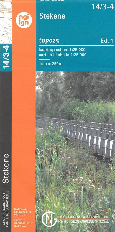
Topographical survey of Belgium at 1:20,000 from Nationaal Geografisch Instituut / Institut Gรฉographique National, the country’s national survey organization. Each 20K map covers one quarter of the corresponding 1:50,000 map (with adjustments in the border and coastal areas). The maps provide all the information expected of topographic mapping at this scale and additionally have an
Hasselt NGI Topo 25
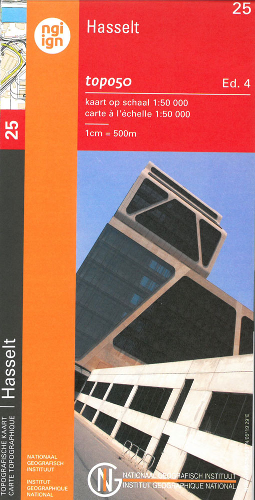
Topographical survey of Belgium at 1:50,000 from the country’s national survey organization, Nationaal Geografisch Instituut / Institut Gรฉographique National. Contour interval varies according to the terrain, from 2.5 metres in the coastal areas to 10 metres in the Ardennes. The maps provide all the information expected of topographic mapping at this scale and additionally have


