Category Archives: Maps
Arendonk NGI Topo 09/5-6
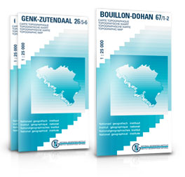
Topographical survey of Belgium at 1:20,000 from Nationaal Geografisch Instituut / Institut Gรฉographique National, the country’s national survey organization. Each 20K map covers one quarter of the corresponding 1:50,000 map (with adjustments in the border and coastal areas). The maps provide all the information expected of topographic mapping at this scale and additionally have an
Virton NGI Topo 71/1-2
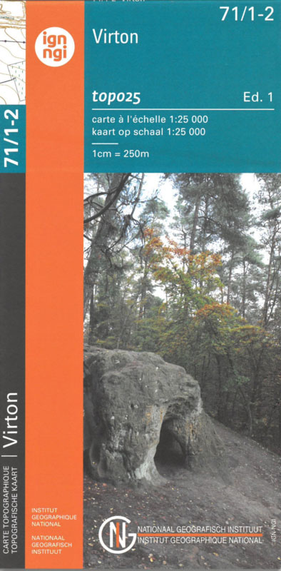
Topographical survey of Belgium at 1:20,000 from Nationaal Geografisch Instituut / Institut Gรฉographique National, the country’s national survey organization. Each 20K map covers one quarter of the corresponding 1:50,000 map (with adjustments in the border and coastal areas). The maps provide all the information expected of topographic mapping at this scale and additionally have an
Achthoek NGI Topo 09/7-8

Topographical survey of Belgium at 1:20,000 from Nationaal Geografisch Instituut / Institut Gรฉographique National, the country’s national survey organization. Each 20K map covers one quarter of the corresponding 1:50,000 map (with adjustments in the border and coastal areas). The maps provide all the information expected of topographic mapping at this scale and additionally have an
Bree NGI Topo 18/5-6

Topographical survey of Belgium at 1:20,000 from Nationaal Geografisch Instituut / Institut Gรฉographique National, the country’s national survey organization. Each 20K map covers one quarter of the corresponding 1:50,000 map (with adjustments in the border and coastal areas). The maps provide all the information expected of topographic mapping at this scale and additionally have an
Maaseik NGI Topo 18/7-8

Topographical survey of Belgium at 1:20,000 from Nationaal Geografisch Instituut / Institut Gรฉographique National, the country’s national survey organization. Each 20K map covers one quarter of the corresponding 1:50,000 map (with adjustments in the border and coastal areas). The maps provide all the information expected of topographic mapping at this scale and additionally have an
Kortrijk NGITopo 29/1-2
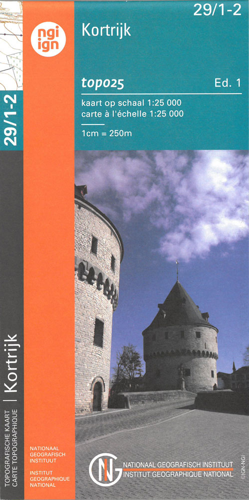
Topographical survey of Belgium at 1:20,000 from Nationaal Geografisch Instituut / Institut Gรฉographique National, the country’s national survey organization. Each 20K map covers one quarter of the corresponding 1:50,000 map (with adjustments in the border and coastal areas). The maps provide all the information expected of topographic mapping at this scale and additionally have an
Oudenaarde NGI Topo 29/3-4
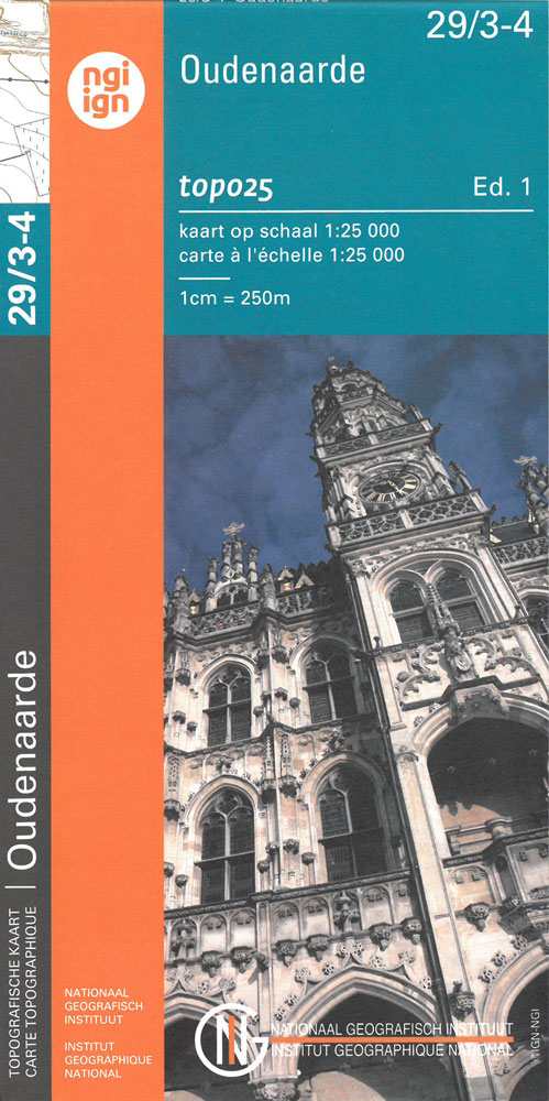
Topographical survey of Belgium at 1:20,000 from Nationaal Geografisch Instituut / Institut Gรฉographique National, the country’s national survey organization. Each 20K map covers one quarter of the corresponding 1:50,000 map (with adjustments in the border and coastal areas). The maps provide all the information expected of topographic mapping at this scale and additionally have an
Mouscron / Moeskroen NGI Topo 29/5-6
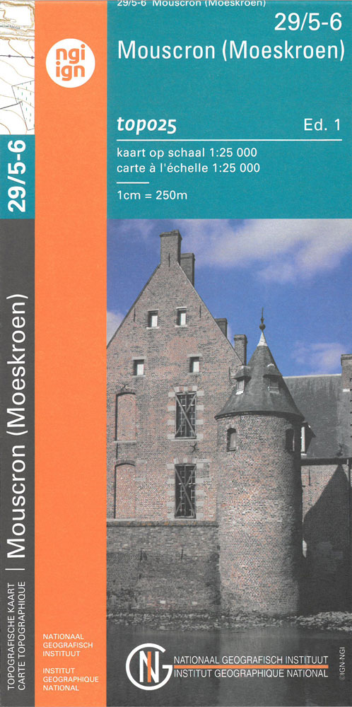
Topographical survey of Belgium at 1:20,000 from Nationaal Geografisch Instituut / Institut Gรฉographique National, the country’s national survey organization. Each 20K map covers one quarter of the corresponding 1:50,000 map (with adjustments in the border and coastal areas). The maps provide all the information expected of topographic mapping at this scale and additionally have an
Ronse NGI Topo 29/7-8
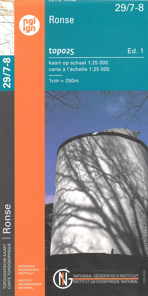
Topographical survey of Belgium at 1:20,000 from Nationaal Geografisch Instituut / Institut Gรฉographique National, the country’s national survey organization. Each 20K map covers one quarter of the corresponding 1:50,000 map (with adjustments in the border and coastal areas). The maps provide all the information expected of topographic mapping at this scale and additionally have an
Zoutleeuw NGI Topo 33/1-2
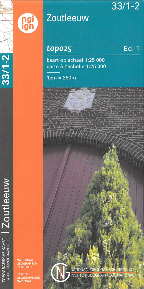
Topographical survey of Belgium at 1:20,000 from Nationaal Geografisch Instituut / Institut Gรฉographique National, the country’s national survey organization. Each 20K map covers one quarter of the corresponding 1:50,000 map (with adjustments in the border and coastal areas). The maps provide all the information expected of topographic mapping at this scale and additionally have an
Alken NGI Topo 33/3-4
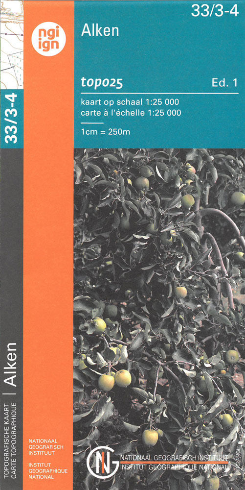
Topographical survey of Belgium at 1:20,000 from Nationaal Geografisch Instituut / Institut Gรฉographique National, the country’s national survey organization. Each 20K map covers one quarter of the corresponding 1:50,000 map (with adjustments in the border and coastal areas). The maps provide all the information expected of topographic mapping at this scale and additionally have an
Sint-Truiden NGI Topo 33/5-6
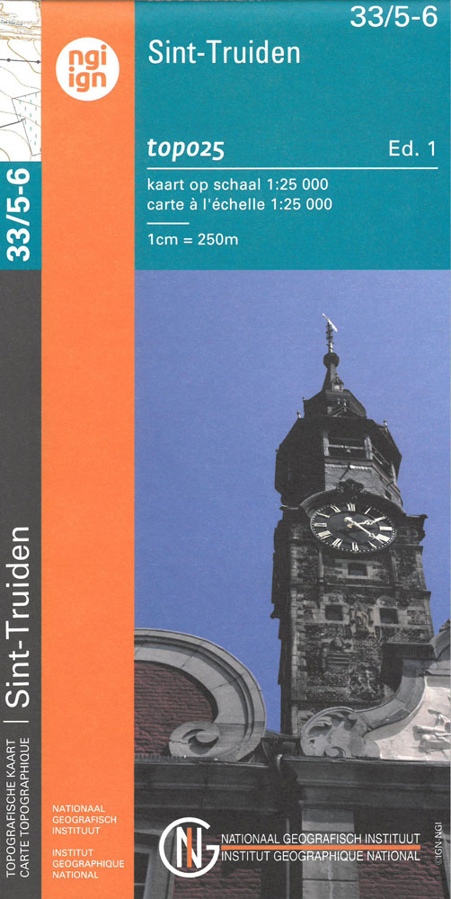
Topographical survey of Belgium at 1:20,000 from Nationaal Geografisch Instituut / Institut Gรฉographique National, the country’s national survey organization. Each 20K map covers one quarter of the corresponding 1:50,000 map (with adjustments in the border and coastal areas). The maps provide all the information expected of topographic mapping at this scale and additionally have an
Borgloon NGI Topo 33/7-8
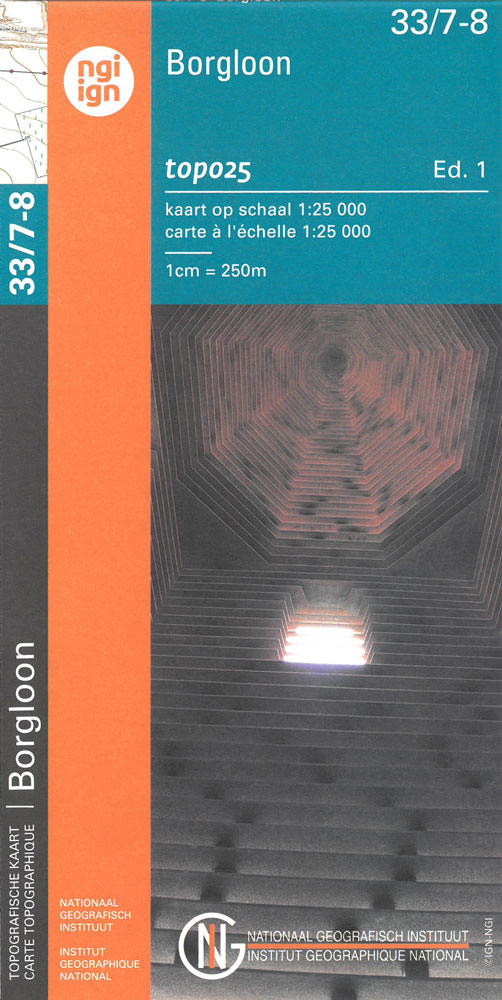
Topographical survey of Belgium at 1:20,000 from Nationaal Geografisch Instituut / Institut Gรฉographique National, the country’s national survey organization. Each 20K map covers one quarter of the corresponding 1:50,000 map (with adjustments in the border and coastal areas). The maps provide all the information expected of topographic mapping at this scale and additionally have an
Leglise NGI Topo 68/1-2
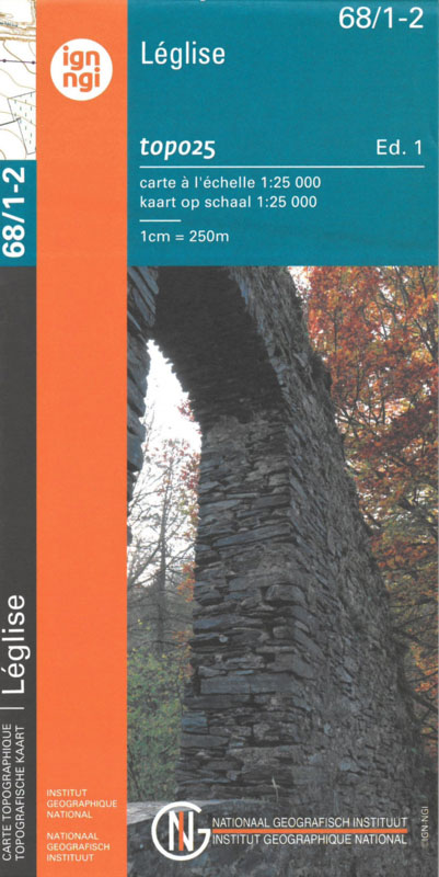
Topographical survey of Belgium at 1:20,000 from Nationaal Geografisch Instituut / Institut Gรฉographique National, the country’s national survey organization. Each 20K map covers one quarter of the corresponding 1:50,000 map (with adjustments in the border and coastal areas). The maps provide all the information expected of topographic mapping at this scale and additionally have an
Antwerpen NGI Topo 15/3-4
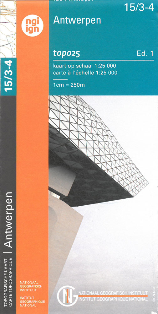
Topographical survey of Belgium at 1:20,000 from Nationaal Geografisch Instituut / Institut Gรฉographique National, the country’s national survey organization. Each 20K map covers one quarter of the corresponding 1:50,000 map (with adjustments in the border and coastal areas). The maps provide all the information expected of topographic mapping at this scale and additionally have an
Attert NGI Topo 68/3-4
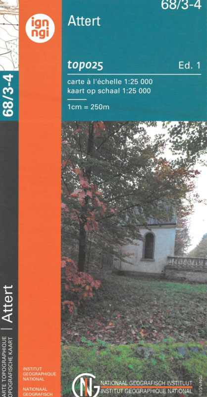
Topographical survey of Belgium at 1:20,000 from Nationaal Geografisch Instituut / Institut Gรฉographique National, the country’s national survey organization. Each 20K map covers one quarter of the corresponding 1:50,000 map (with adjustments in the border and coastal areas). The maps provide all the information expected of topographic mapping at this scale and additionally have an
Sint-Niklaas NGI Topo 15/5-6
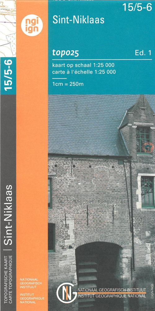
Topographical survey of Belgium at 1:20,000 from Nationaal Geografisch Instituut / Institut Gรฉographique National, the country’s national survey organization. Each 20K map covers one quarter of the corresponding 1:50,000 map (with adjustments in the border and coastal areas). The maps provide all the information expected of topographic mapping at this scale and additionally have an
Etalle NGI Topo 68/5-6
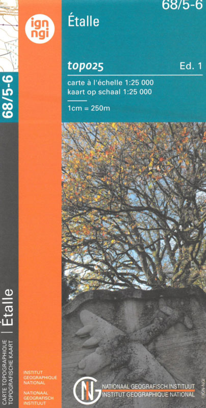
Topographical survey of Belgium at 1:20,000 from Nationaal Geografisch Instituut / Institut Gรฉographique National, the country’s national survey organization. Each 20K map covers one quarter of the corresponding 1:50,000 map (with adjustments in the border and coastal areas). The maps provide all the information expected of topographic mapping at this scale and additionally have an
Kontich NGI Topo 15/7-8
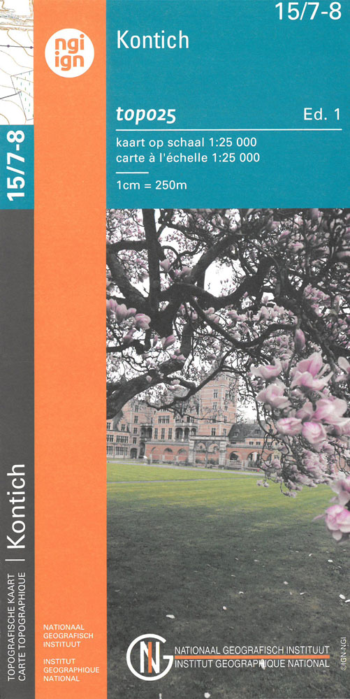
Topographical survey of Belgium at 1:20,000 from Nationaal Geografisch Instituut / Institut Gรฉographique National, the country’s national survey organization. Each 20K map covers one quarter of the corresponding 1:50,000 map (with adjustments in the border and coastal areas). The maps provide all the information expected of topographic mapping at this scale and additionally have an
Arlon NGI Topo 68/7-8
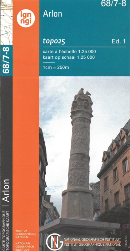
Topographical survey of Belgium at 1:20,000 from Nationaal Geografisch Instituut / Institut Gรฉographique National, the country’s national survey organization. Each 20K map covers one quarter of the corresponding 1:50,000 map (with adjustments in the border and coastal areas). The maps provide all the information expected of topographic mapping at this scale and additionally have an


