Category Archives: Maps
Repovesi – Mรคntyharju Karttakeskus Outdoor Map
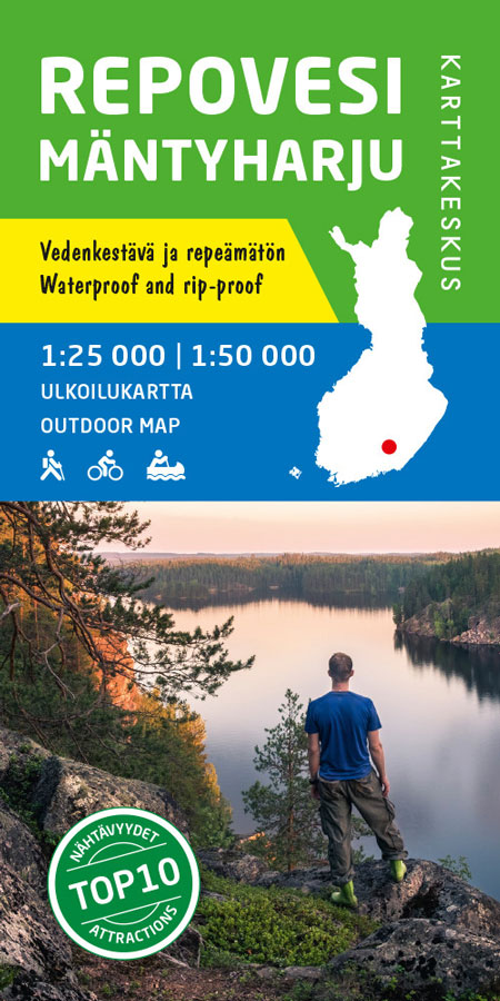
Repovesi area of Finland at 1:25,000/50,000 in a series of beautiful and informative maps of popular outdoor leisure areas with cartography of the country’s topographic survey. Excellent use of colours, shading and symbols provides a very detailed picture of the terrain and vegetation. Extensive overprint highlights routes for hiking, and/or other outdoor pursuits, a wide
Finland in 1917 Map
Kuusamo Karttakeskus Outdoor Map

Kuusamo area of Finland at 1:100,000 in a series of beautiful and informative maps of popular outdoor leisure areas with cartography of the country’s topographic survey. Excellent use of colours, shading and symbols provides a very detailed picture of the terrain and vegetation. Extensive overprint highlights routes for hiking, and/or other outdoor pursuits, a wide
Utsjoki – Kevo Nature Reserve
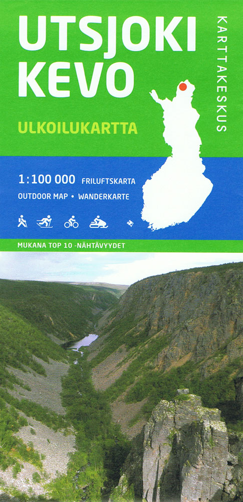
Utsjoki – Kevo Nature Reserve at 1:100,000 in a series of beautiful and informative maps of Finland’s most popular outdoor leisure areas with cartography of the country’s topographic survey. Excellent use of colours, shading and symbols provides a very detailed picture of the terrain and vegetation. Extensive overprint highlights routes for hiking, and/or other outdoor
Evo Pรคijรคnne Ilvesvaellus
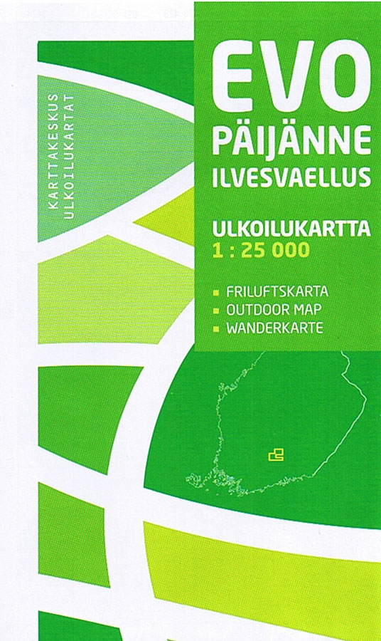
Evo Pรคijรคnne Ilvesvaellus area of Finland at 1:25,000 in a series of beautiful and informative maps of popular outdoor leisure areas with cartography of the country’s topographic survey. Excellent use of colours, shading and symbols provides a very detailed picture of the terrain and vegetation. Extensive overprint highlights routes for hiking, and/or other outdoor pursuits,
Teijo
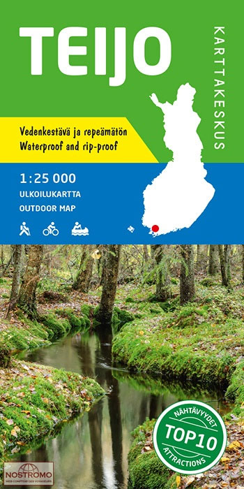
Teijo area at 1:25,000 on a double-sided map in a series of beautiful and informative maps covering Finland’s most popular outdoor leisure areas with cartography from Karttakeskus, the country’s topographic survey. Maps in this series have excellent use of colours, shading and symbols to provide a very detailed picture of the terrain and vegetation. Extensive
Veluwe South
South Veluwe on a waterproof, tear-resistant, GPS compatible walking map at 1:25,000 from Trage Paden, in a series of maps with extensive overprint for long-distance and local walking routes. GPS waypoints and route profiles are available for download from the publisher’s website.Contours used in this map series vary between 2,5 to 5m according to the
Brasil`s Southern Beaches de Dios Map
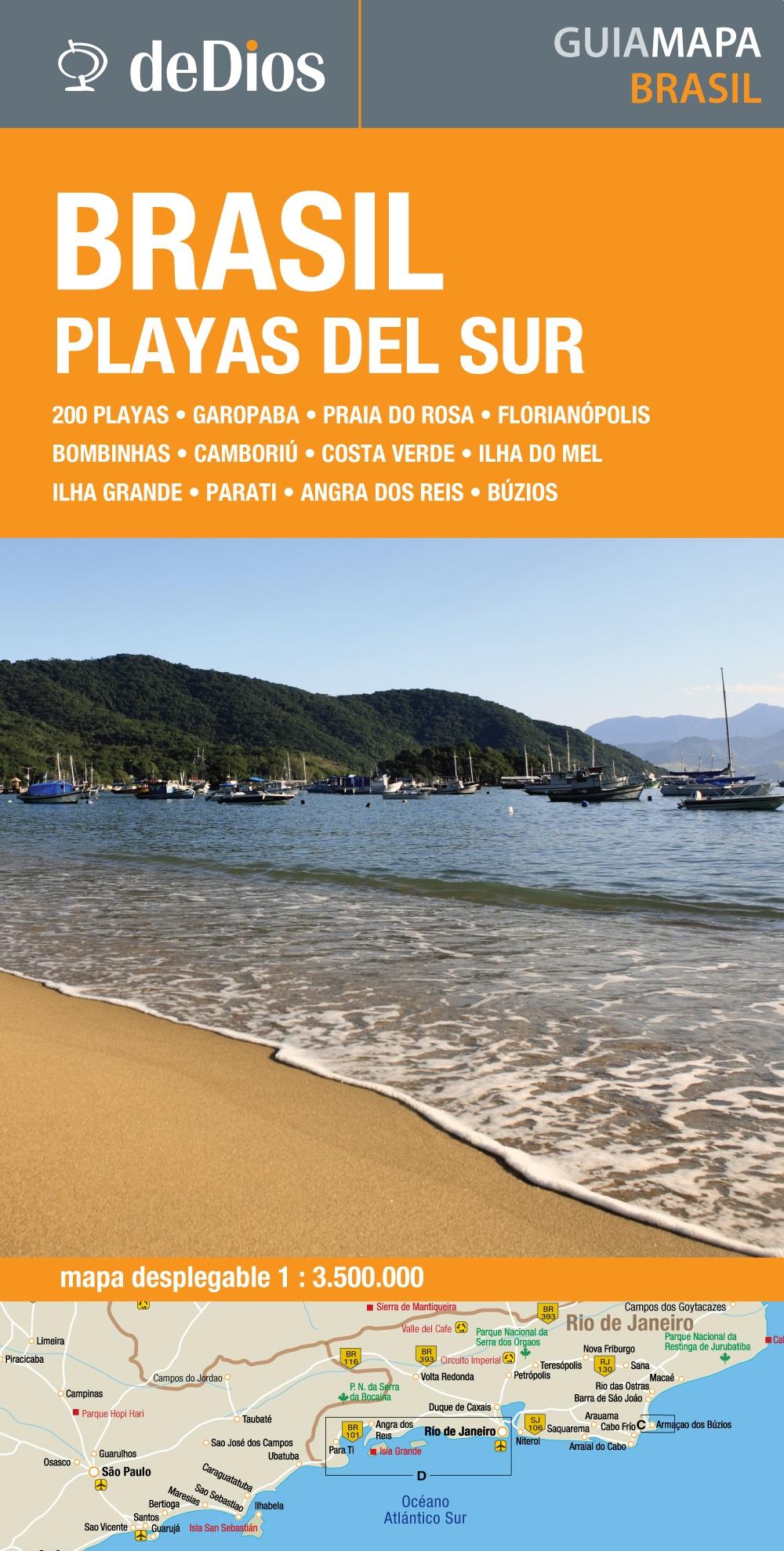
The coast of southern Brazil on a map from the Argentinian publishers de Dios designed to highlight the region’s numerous beaches, with more detailed enlargements for the six most visited areas, classification according to their character, recommendations for accommodation, etc.On one side is a map of the whole region, extending from the Uruguay border north
Buenos Aires Milongas de Dios Street Plan
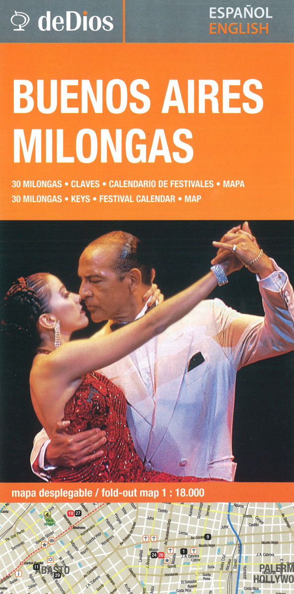
Central districts of Buenos Aires on a handy concertina map at 1:18,000 from the locally-based publisher de Dios Editores, specifically showing locations of interest to Milongas, all listed on the reverse together with the street index. The plan includes a list of important Milonga locations, with keys, festival calendar and brief description and history. Metro
Tierra del Fuego de Dios Map-Guide SPANISH
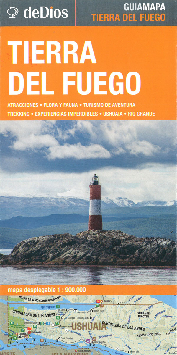
Tierra del Fuego map by deDios at 1:900,000 scale. Texts in Spanish.- Main attractions of the province and the city of Ushuaia, with descriptions and locations on the map. – Flora and fauna of the region, main species and fishing information. – Detail of Rio Grande with maps and main attractions. – Skiing on Cerro
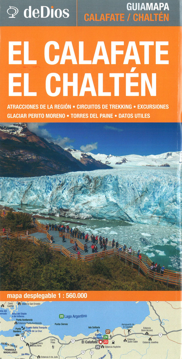
El Calafate – El Chaten de Dios Map-Guide SPANISH
Peninsula Valdes de Dios Map-Guide SPANISH

Peninsula Valdรฉs map by deDios at 1:475,000 scale. All texts in Spanish. – Main attractions of Peninsula Valdรฉs, with its description and location on the map. – Wildlife calendar to find out the best time to observe each species – Main attractions of Trelew, Rawson, Puerto Madryn, Las Grutas and Puerto Pirรกmides, with their description
Nellim
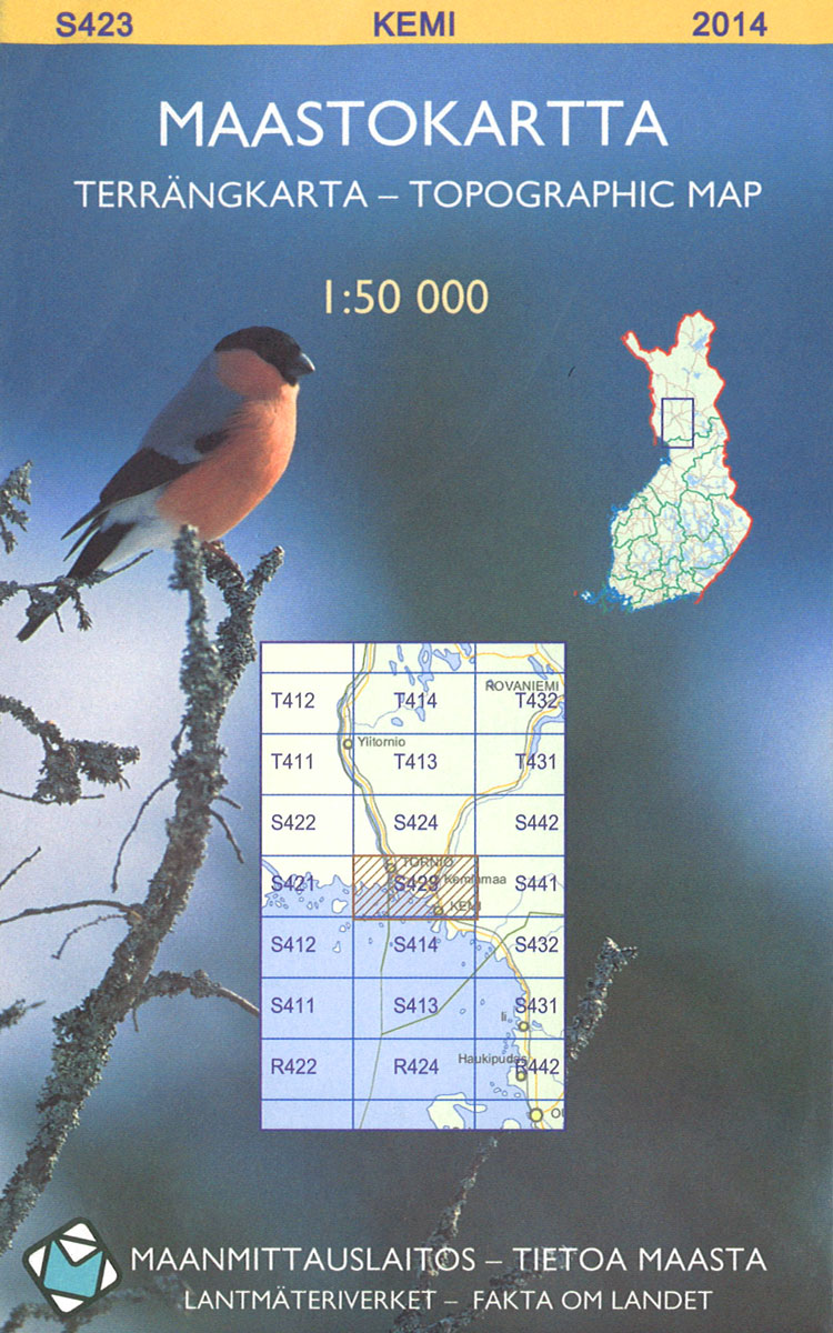
The 1:50 000 topographic map gives a more general picture of the ground features than a basic map. It shows settlements, houses, roads, cultivated areas, waterways, cutting areas, mires, rock exposures, and relief. One map sheet covers an area of 30 x 40 km and one centimetre corresponds to 500 metres on the ground.The 1:50,000
Netherlands North Super-Durable Cycling Map 1
The northern half of the Netherlands on a Super-Durable Cycling Map at 1:200,000 from Buijten & Schipperheijn, showing the country’s extensive network of signposted cycling routes, with highlighting for the LF long-distance paths and recommended other trails, plus locations of campsites. The map is double-sided and coverage in this title extends south to the line
Oikarainen

The 1:50 000 topographic map gives a more general picture of the ground features than a basic map. It shows settlements, houses, roads, cultivated areas, waterways, cutting areas, mires, rock exposures, and relief. One map sheet covers an area of 30 x 40 km and one centimetre corresponds to 500 metres on the ground.The 1:50,000
Oulu

The 1:50 000 topographic map gives a more general picture of the ground features than a basic map. It shows settlements, houses, roads, cultivated areas, waterways, cutting areas, mires, rock exposures, and relief. One map sheet covers an area of 30 x 40 km and one centimetre corresponds to 500 metres on the ground.The 1:50,000
Netherlands Cycling Atlas Slim Format
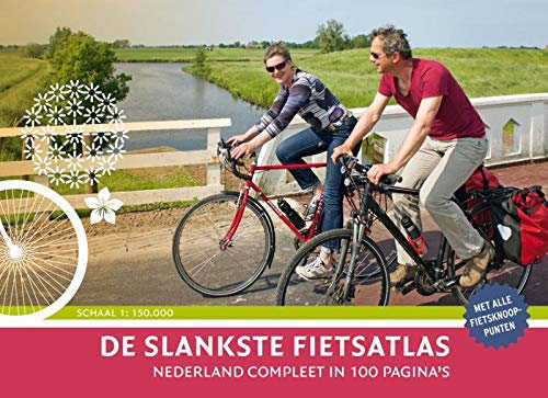
A complete atlas of the Netherlands in a 100-page guidebook, scale 1: 150 000 (1cm = 1.5km)’: compact and extremely easy to read’: size suitable for handlebar bags’: low weight’: clear cartography’: renewed node routes’: tourist routes, including LF roads’: All campsites of nederland-camping.nl’: Landmarks’: all roads and trails, even hiking routes


