Category Archives: Maps
Pyhรค – Luosto Karttakeskus Outdoor Map
Pyhรค – Luosto area of Finland at 1:50,000 in a series of beautiful and informative maps of popular outdoor leisure areas with cartography of the country’s topographic survey. Excellent use of colours, shading and symbols provides a very detailed picture of the terrain and vegetation. Extensive overprint highlights routes for hiking, and/or other outdoor pursuits,
Koli – Ruunaa – Patvinsuo – Petkeljรคrvi Karttakeskus Outdoor Map

Koli Ruunaa Patvinsuo Petkeljรคrvi area of Finland at 1:25,000 in a series of beautiful and informative maps of popular outdoor leisure areas with cartography of the country’s topographic survey. Excellent use of colours, shading and symbols provides a very detailed picture of the terrain and vegetation. Extensive overprint highlights routes for hiking, and/or other outdoor
Lemmenjoki National Park

Lemmenjoki National Park at 1:100,000 in a series of beautiful and informative maps of Finland’s most popular outdoor leisure areas with cartography of the country’s topographic survey. Excellent use of colours, shading and symbols provides a very detailed picture of the terrain and vegetation. Extensive overprint highlights routes for hiking, and/or other outdoor pursuits, a
Repovesi – Mรคntyharju Karttakeskus Outdoor Map
Repovesi area of Finland at 1:25,000/50,000 in a series of beautiful and informative maps of popular outdoor leisure areas with cartography of the country’s topographic survey. Excellent use of colours, shading and symbols provides a very detailed picture of the terrain and vegetation. Extensive overprint highlights routes for hiking, and/or other outdoor pursuits, a wide
Finland in 1917 Map
Kuusamo Karttakeskus Outdoor Map

Kuusamo area of Finland at 1:100,000 in a series of beautiful and informative maps of popular outdoor leisure areas with cartography of the country’s topographic survey. Excellent use of colours, shading and symbols provides a very detailed picture of the terrain and vegetation. Extensive overprint highlights routes for hiking, and/or other outdoor pursuits, a wide
Utsjoki – Kevo Nature Reserve
Utsjoki – Kevo Nature Reserve at 1:100,000 in a series of beautiful and informative maps of Finland’s most popular outdoor leisure areas with cartography of the country’s topographic survey. Excellent use of colours, shading and symbols provides a very detailed picture of the terrain and vegetation. Extensive overprint highlights routes for hiking, and/or other outdoor
Evo Pรคijรคnne Ilvesvaellus
Evo Pรคijรคnne Ilvesvaellus area of Finland at 1:25,000 in a series of beautiful and informative maps of popular outdoor leisure areas with cartography of the country’s topographic survey. Excellent use of colours, shading and symbols provides a very detailed picture of the terrain and vegetation. Extensive overprint highlights routes for hiking, and/or other outdoor pursuits,
Teijo
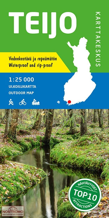
Teijo area at 1:25,000 on a double-sided map in a series of beautiful and informative maps covering Finland’s most popular outdoor leisure areas with cartography from Karttakeskus, the country’s topographic survey. Maps in this series have excellent use of colours, shading and symbols to provide a very detailed picture of the terrain and vegetation. Extensive
Finland 1933 Facsimile Map
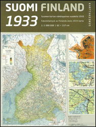
Reproduction of a map of Finland published by the country’s survey organization in 1933, showing its border with Russia before Karelia, Salla and Patsamo were ceded to Russia in 1944 after the Continuation War. Road and rail networks are presented on a base with bold altitude colouring indicating the topography. Map legend is in Finnish
Finland North Karttakeskus Outdoor Road Map

Northern Finland at 1:400,000 on a double-sided cycling map from Karttakeskus with both national and local cycling routes, plus extensive tourist information including different types of accommodation. Enlargements show the routes across Rovaniemi, Tornio and Kemi.Maps in this Outdoor series from Karttakeskus cover southern Finland at 1:250,000, with the northern part of the country at
Finland East Karttakeskus Outdoor Road Map
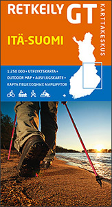
Eastern Finland at 1:250,000 on a double-sided cycling map from Karttakeskus with both national and local cycling routes, plus extensive tourist information including different types of accommodation. Enlargements show the routes in Iisalmi, Joensuu, Kajaani, Kuopio, Mikkeli, Savolinna, and Varkaus. Maps in this Outdoor series from Karttakeskus cover southern Finland at 1:250,000, with the northern
Hammastunturi – South Inari
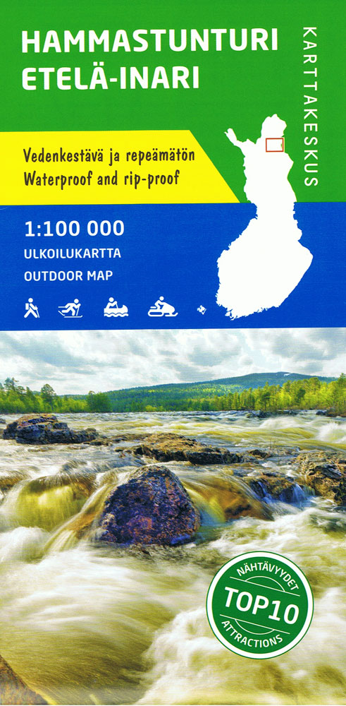
Hammastunturi ‘“ Saariselk area of Finland at 1:100,000 in a series of beautiful and informative maps of popular outdoor leisure areas with cartography of the country’s topographic survey. Excellent use of colours, shading and symbols provides a very detailed picture of the terrain and vegetation. Extensive overprint highlights routes for hiking, and/or other outdoor pursuits,
Vuokatti – Kainuu National Park
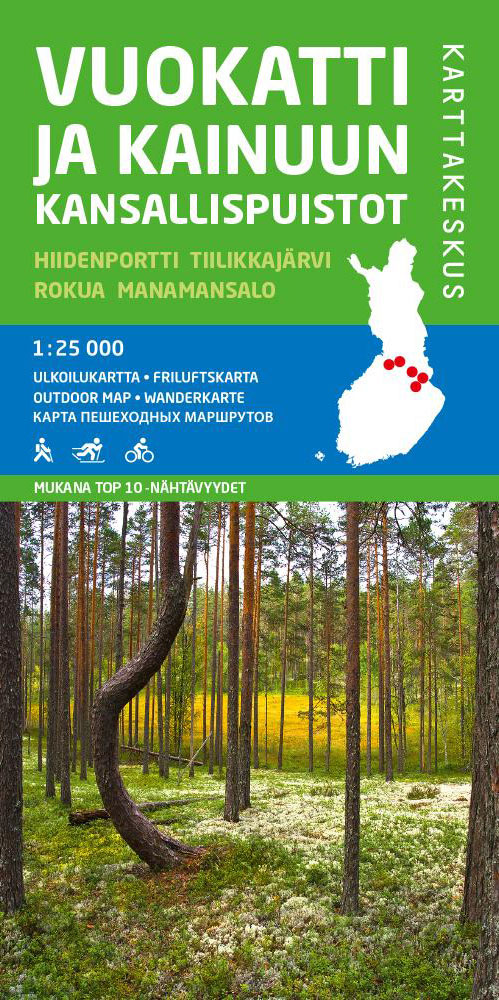
Vuokatti – Kainuu National Park area at 1:25,000 on a double-sided map in a series of beautiful and informative maps covering Finland’s most popular outdoor leisure areas with cartography from Karttakeskus, the country’s topographic survey. Maps in this series have excellent use of colours, shading and symbols to provide a very detailed picture of the
Tuntsa – Tulppio – Sorsatunturi Karttakeskus Topo Map

Saariselkรค Kiilopรครค area of Finland at 1:50,000 in a series of beautiful and informative maps of popular outdoor leisure areas with cartography of the country’s topographic survey. Excellent use of colours, shading and symbols provides a very detailed picture of the terrain and vegetation. Extensive overprint highlights routes for hiking, and/or other outdoor pursuits, a
Aland – Ahvenanmaa Tourist Map
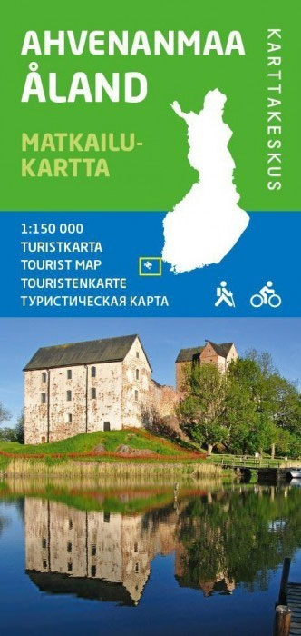
ร…land (Ahvenanmaa) and the neighbouring islands off the south-west coast of Finland on a detailed touring and recreational map at 1:150,000 from the Finnish national survey organization Karttakeskus, with a street plan of Mariehamn (Maarianhamina).Road information includes what is confusingly described in the map legend as ‘private” roads; these are unsurfaced roads, open to the
Finland Road Atlas GLOVEBOX, SPIRAL-BOUND
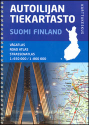
Finland Road Atlas from Karttakeskus in a glovebox size spiral-bound format, covering southern Finland at 1:650,000 with the rest of the country, north of Oulu, at 1:800,000. The atlas includes an enlargement for the Helsinki area, street plans of 12 main towns, plus a distance table.Main roads and connecting routes are very clearly presented and


