Category Archives: Maps
Finland East Karttakeskus Road Map

Eastern Finland at 1:250,000 on a double-sided road map from Karttakeskus, the country’s national survey organization, with both topographic and extensive tourist information, including hotels, campsites, youth hostels, etc.Maps in this series have detailed road classification, from dual carriageways to unsurfaced tracks and privately maintained roads, and indicate the widths of the single carriageway roads.
Ugljan, Rivanj & Sestrunj Islands Croatian Mountain Rescue Service 25K Map
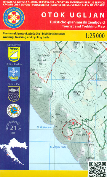
Ugljan Island, with the Rivanj and Sestrunj islands further north, on a contoured and GPS compatible map at 1:25,000 from the Croatian Mountain Rescue Service. Contours at 10m intervals enhanced by relief shading provide excellent presentation of the terrain, with markings for various topographic features. Waymarked hiking paths are highlighted. Symbols indicate various facilities and
Ruka – Oulanka Karhunkierros National Park
Ruka – Oulanka National Park region just south of the Arctic Circle on Finland`s eastern border at 1:50,000 on a double-sided, GPS compatible map from Karttakeskus, the country’s national survey organization, with enlargements for Ruikatunturi area and the Pieni Karhunkierros Bear Trail near Juuma. Contours are at 5m intervals, with colours and/or graphics indicating various
Pรถyrisjรคrvi – Kalmakaltio – Hetta Karttakeskus Topo Map
Saariselkรค Kiilopรครค area of Finland at 1:50,000 in a series of beautiful and informative maps of popular outdoor leisure areas with cartography of the country’s topographic survey. Excellent use of colours, shading and symbols provides a very detailed picture of the terrain and vegetation. Extensive overprint highlights routes for hiking, and/or other outdoor pursuits, a
Karelia Karttakeskus Road Map
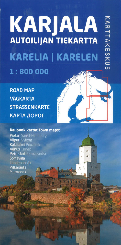
Double-sided, detailed road map at 1:800,000 of the Karelian Republic and the Murmansk Oblast with street plans of nine main cities, published by Finland’s national survey organization. Coverage extends from St. Petersburg to Murmansk, and from the adjoining areas of Norway and Finland eastwards to Ostrovno on the Kola Peninsula and on the southern part
Finland North Karttakeskus Road Map

Northern Finland at 1:400,000 on a double-sided road map from Karttakeskus, the country’s national survey organization, with both topographic and extensive tourist information, including hotels, campsites, youth hostels, etc. Coverage starts just north of Oulu.Maps in this series have detailed road classification, from dual carriageways to unsurfaced tracks and privately maintained roads, and indicate the
Finland Karttakeskus Travel Map + Guide
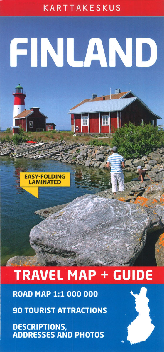
Finland at 1:1,000,000 on a waterproof and tear-resistant, double-sided map from Karttakeskus, Finland’s national survey organization, with English language descriptions of 90 locations highlighted on the map. Where appropriate, Swedish and in Lapland Sami place names are included.The country is divided north/south with a tiny overlap between the sides. Topography is indicated by altitude colouring
Saariselkรค – Sokosti Karttakeskus Outdoor Map

Sokosti ‘“ Suomujoki area of Finland at 1:50,000 in a series of beautiful and informative maps of popular outdoor leisure areas with cartography of the country’s topographic survey. Excellent use of colours, shading and symbols provides a very detailed picture of the terrain and vegetation. Extensive overprint highlights routes for hiking, and/or other outdoor pursuits,
Nunnanen – Kalmakaltio – Suukisjoki
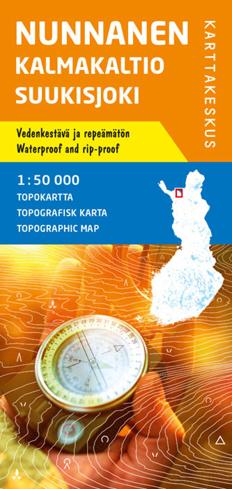
Saariselkรค Kiilopรครค area of Finland at 1:50,000 in a series of beautiful and informative maps of popular outdoor leisure areas with cartography of the country’s topographic survey. Excellent use of colours, shading and symbols provides a very detailed picture of the terrain and vegetation. Extensive overprint highlights routes for hiking, and/or other outdoor pursuits, a
Halti – Kilpisjรคrvi Karttakeskus Outdoor Map

Halti ‘“ Kilpisjรคrvi area of northern Finland at 1:50,000 in a series of beautiful and informative maps of popular outdoor leisure areas from Karttakeskus with cartography of the country’s topographic survey. Contours are at 25m intervals, enhanced by relief shading plus graphics and/ colouring for different types of terrain and vegetation. Overprint highlights hiking routes
Ropi – Kalkkoaivi – Munnikurkkio
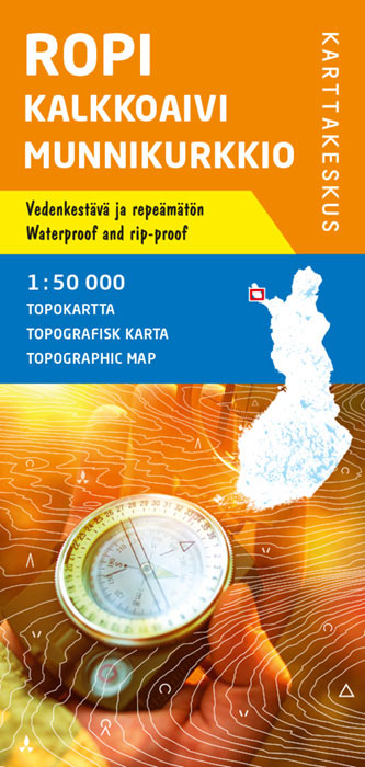
Saariselkรค Kiilopรครค area of Finland at 1:50,000 in a series of beautiful and informative maps of popular outdoor leisure areas with cartography of the country’s topographic survey. Excellent use of colours, shading and symbols provides a very detailed picture of the terrain and vegetation. Extensive overprint highlights routes for hiking, and/or other outdoor pursuits, a
Pallas – Hetta – Olos
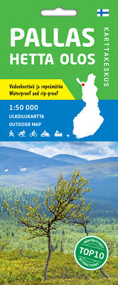
Pallas – Yllรคstunturi area of Finland at 1:50,000 in a series of beautiful and informative maps of popular outdoor leisure areas with cartography of the country’s topographic survey. Excellent use of colours, shading and symbols provides a very detailed picture of the terrain and vegetation. Extensive overprint highlights routes for hiking, and/or other outdoor pursuits,
Helsinki City Map & Guide
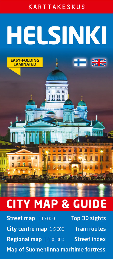
Helsinki on a laminated, waterproof and tear-resistant street plan from Karttakeskus combining a street plan of the city with a detailed enlargement of its town centre, plus a road map of the capital’s environs, a diagram of the tram network, and brief descriptions of 30 most interesting sights prominently highlighted on the plans.Helsinki’s central districts
Finland Karttakeskus Road Atlas
Road Atlas of Finland, 2017 edition in an A4 spiral-bound format covering the southern and central parts of the country at 1:200,000, with the north at 1:250,000, plus city maps of 50 towns, enlargements showing in more details the environs of Helsinki, Oulu, Tampere and Turku, examples of traffic signs, etc. Over 2800 places of
Pyhรค – Luosto Karttakeskus Outdoor Map

Pyhรค – Luosto area of Finland at 1:50,000 in a series of beautiful and informative maps of popular outdoor leisure areas with cartography of the country’s topographic survey. Excellent use of colours, shading and symbols provides a very detailed picture of the terrain and vegetation. Extensive overprint highlights routes for hiking, and/or other outdoor pursuits,
Koli – Ruunaa – Patvinsuo – Petkeljรคrvi Karttakeskus Outdoor Map

Koli Ruunaa Patvinsuo Petkeljรคrvi area of Finland at 1:25,000 in a series of beautiful and informative maps of popular outdoor leisure areas with cartography of the country’s topographic survey. Excellent use of colours, shading and symbols provides a very detailed picture of the terrain and vegetation. Extensive overprint highlights routes for hiking, and/or other outdoor
Lemmenjoki National Park

Lemmenjoki National Park at 1:100,000 in a series of beautiful and informative maps of Finland’s most popular outdoor leisure areas with cartography of the country’s topographic survey. Excellent use of colours, shading and symbols provides a very detailed picture of the terrain and vegetation. Extensive overprint highlights routes for hiking, and/or other outdoor pursuits, a


