Category Archives: Maps
Bulgaria (with Street Plans of Black Sea Resorts)
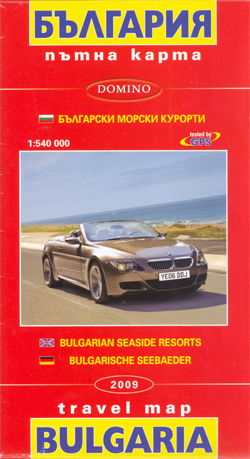
Bulgaria at 1:540,000 from Domino with on the reverse street plans of central Varna and Burgas, plus plans of other Black Sea resorts: Albena, Balchik, Golden Sands, Nesebar, Sozopol, St. Konstantin and Sunny Beach, The main map provides a clear picture of the country’s topography with bright altitude colouring enhanced by relief shading and spot
Sofia Domino Street Plan

Street plan of Sofia at 1:19,000, with an enlargement for the city centre, public transport routes, and an extensive gazetteer of hotels, services, places of interest, etc. All street and place names are in Latin alphabet only.On one side is an indexed street plan of the city, showing tram, trolleybus and bus routes with stops
Plovdiv
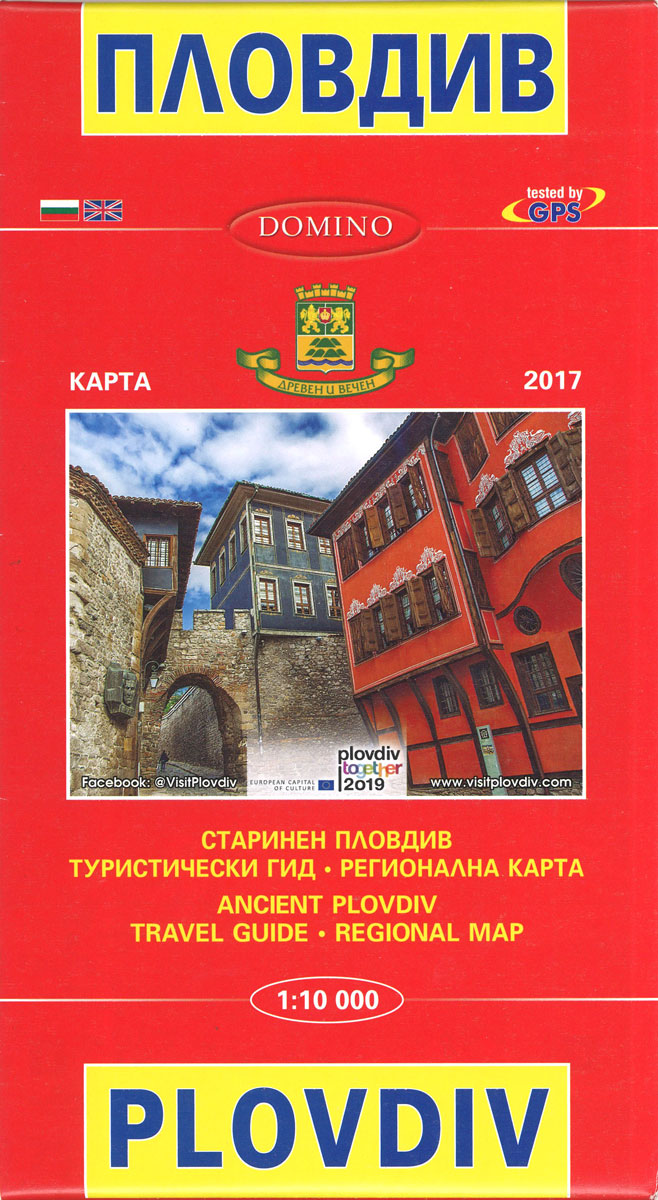
Street plan of Plovdiv at 1:10,000, with a map highlighting the city’s historic sights, plus an extensive English language list of various local services such as hotels, banks, shopping, etc. The plan shows trolleybus, bus and minibus routes with stops and line numbers.On one side is a plan of the whole city with all place
Varna
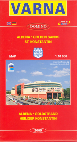
Street plan of Varna at 1:10,000, with an enlargement for the city centre, plans of the nearby resorts of Golden Sands, Albena and St. Konstantin, plus and extensive gazetteer of accommodation and services. All street and place names are in Latin alphabet only.On one side is an indexed street plan of the city with insets
Burgas and the Nearby Black Sea Resorts
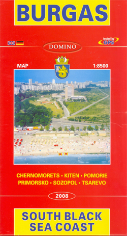
Street plan of Burgas at 1:8,500, with plans of other nearby holiday resorts along the Black Sea coast: Primorsko, Pomorie, Chernomorets, Sozopol, Kiten and Tsarevo. Plus extensive English language information on accommodation, etc. On one side is a street plan of Burgas, with insets at various scales extending coverage to satellite districts of Meden, Dolno
Shumen
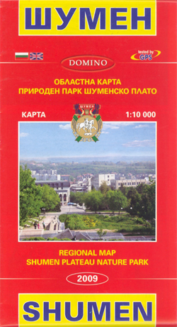
Indexed street plan of Shumen at 1:10,000 with maps of the Shumen Plateau Nature Park and the surrounding region, plus an extensive gazetteer of various services, including hotels, banks, restaurants, entertainment, etc.On one side is a street plan of the city showing bus routes with line numbers and stops, and annotated with symbols indicating various
Finland East Karttakeskus Road Map

Eastern Finland at 1:250,000 on a double-sided road map from Karttakeskus, the country’s national survey organization, with both topographic and extensive tourist information, including hotels, campsites, youth hostels, etc.Maps in this series have detailed road classification, from dual carriageways to unsurfaced tracks and privately maintained roads, and indicate the widths of the single carriageway roads.
Ugljan, Rivanj & Sestrunj Islands Croatian Mountain Rescue Service 25K Map
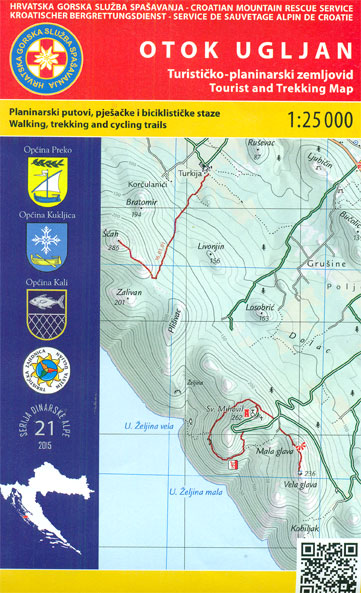
Ugljan Island, with the Rivanj and Sestrunj islands further north, on a contoured and GPS compatible map at 1:25,000 from the Croatian Mountain Rescue Service. Contours at 10m intervals enhanced by relief shading provide excellent presentation of the terrain, with markings for various topographic features. Waymarked hiking paths are highlighted. Symbols indicate various facilities and
Ruka – Oulanka Karhunkierros National Park
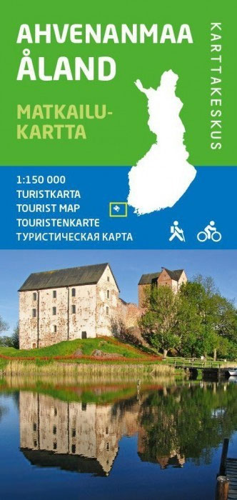
Ruka – Oulanka National Park region just south of the Arctic Circle on Finland`s eastern border at 1:50,000 on a double-sided, GPS compatible map from Karttakeskus, the country’s national survey organization, with enlargements for Ruikatunturi area and the Pieni Karhunkierros Bear Trail near Juuma. Contours are at 5m intervals, with colours and/or graphics indicating various
Pรถyrisjรคrvi – Kalmakaltio – Hetta Karttakeskus Topo Map
Saariselkรค Kiilopรครค area of Finland at 1:50,000 in a series of beautiful and informative maps of popular outdoor leisure areas with cartography of the country’s topographic survey. Excellent use of colours, shading and symbols provides a very detailed picture of the terrain and vegetation. Extensive overprint highlights routes for hiking, and/or other outdoor pursuits, a
Paklenica National Park
Paklenica National Park on the Croatian coast near Zadar on a detailed, contoured and GPS compatible map at 1:25,000 from Astroida, highlighting waymarked hiking paths and cycling routes both within the park and outside its boundary, plus on the reverse notes about the park.The map covers both the Velika and the Mala Paklenica Canyons and
Biokovo Mountains Croatian Mountain Rescue Service 25K Map

Biokovo Mountains on the Adriatic coast of Croatia on a contoured and GPS compatible, double-sided map at 1:25,000 from the Croatian Mountain Rescue Service. Coverage includes the resorts of Baลกka Voda, Makarska,, Tucpi and Podgora.Contours at 10m intervals enhanced by relief shading provide excellent presentation of the terrain, with markings for various topographic features. Waymarked
Omiลกka Dinara
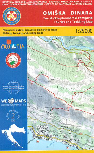
Omiลกka Dinara Mountains on the Adriatic coast of Croatia on a contoured and GPS compatible, double-sided map at 1:25,000 from the Croatian Mountain Rescue Service. Coverage extends from Dugi Rat and Omiลก to just beyond Vruja and inland beyond the A1 motorway to the hill along the Cetina River. Contours at 20m intervals enhanced by
Kameลกnica Mountain Croatian Mountain Rescue Service 25K Map
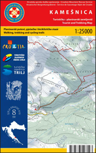
Kameลกnica Mountain and its surrounding area in the Dinaric Alps on a double-sided, contoured and GPS compatible map at 1:25,000 from the Croatian Mountain Rescue Service, with route profiles of seven recommended trails. The map covers an area on the border of southern Croatia and Bosnia-Herzegovina near the town of Sinj, not far from Split.Contours
Dinara – Troglav Group East
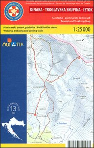
The south-eastern part of the Dinara – Troglav mountain range on the border of southern Croatia and Bosnia-Herzegovina on a contoured and GPS compatible map at 1:25,000 from the Croatian Mountain Rescue Service. Coverage extends southwards from the peak of Troglav to Maljkovo near the Perucko Lake.Contours at 10m intervals enhanced by relief shading provide
Dinara – Troglav Group West
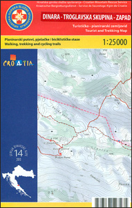
The north-western part of the Dinara – Troglav mountain range on the border of southern Croatia and Bosnia-Herzegovina on a contoured and GPS compatible map at 1:25,000 from the Croatian Mountain Rescue Service. With the peak of Troglav towards the eastern edge of the map, coverage extends from the town of Vrlika northwards to the
Loลกinj Island Croatian Mountain Rescue Service 25K Map
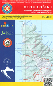
The island of Loลกinj on the Adriatic coast of Croatia on a double-sided, contoured and GPS compatible map at 1:25,000 from the Croatian Mountain Rescue Service, highlighting hiking paths, including trails on the southern part of Cres and on the nearby islands of Unije, Susak and Ilovik.Contours at 10m intervals enhanced by relief shading provide


