Category Archives: Maps
Pirin Mountains Domino

Pirin Mountains at 1:50,000 on a large, double-sided, contoured map with GPS waypoints for shelters and chalets, peaks, etc. and highlighting hiking routes. Topography is shown by contours at 40m intervals with additional relief shading and graphics and colouring for sandstone stacks, single rocks over 5m high, marshlands and different types of woodlands. An overprint
Albena, Kranevo and Balchik
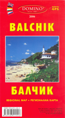
Street plans of the Black Sea resorts of Albena (1:6,000), Balchik (1:8,000) and Kranevo (1:8,500), all with lists of hotels and other accommodation, plus road maps of the surrounding area and of the wider region.On the plans all street, hotel and other place names are shown in Latin alphabet only. Map legend includes English. The
Bulgaria (with Sites and Landmarks)
Bulgaria at 1:620,000 from Domino with on the reverse a panorama map covered with small photos of the country’s 525 most important sites and landmarks, all cross-referenced to a list grouping them by regions and locations.The main map provides a clear picture of the country’s topography with bright altitude colouring enhanced by relief shading and
Bulgaria Wine Map
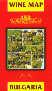
Colourful map of Bulgaria highlighting locations of 152 wine producers, all listed on the reverse with contact details and names of their principal brands, plus a list of award winning and elite wines, details of grape varieties cultivated in Bulgaria, etc.On one side a map of Bulgaria with relief shading and colouring showing the country’s
Balkan Peninsula

The Balkans at 1:1,200,000 on a double-sided map from the Bulgarian publishers Domino, showing the region’s road network in detail and presenting its geography with bright altitude colouring. Coverage with full detail includes Romania and Moldova; the whole of Hungary is also on the map but with information limited to larger towns and principal roads.The
Ahtopol – Sinemorets
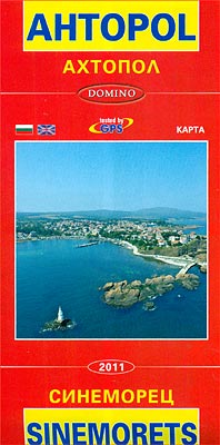
Black Sea resorts of Ahtopol and Sinemorets on a double-sided street plan from Domino, each with a brief description of the town and its sights, plus a list of hotels and other tourist accommodation.The two towns are shown with names of main streets in both Cyrillic and Latin alphabet. Symbols indicate locations of hotels, shopping
Dugi, Iลพ & Sestrunj Islands Croatian Mountain Rescue Service 25K Map
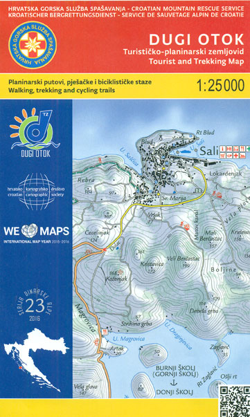
Dugi Otok – the ‘Long Island”, with the nearby Iลพ, Sestrunj, Rava, Zverinac and the surrounding smaller islands on a contoured and GPS compatible, double-sided map at 1:25,000 from the Croatian Mountain Rescue Service. Contours at 10m intervals enhanced by relief shading provide excellent presentation of the terrain, with markings for various topographic features. Waymarked
Sofia Street Atlas with Vitosha Massif
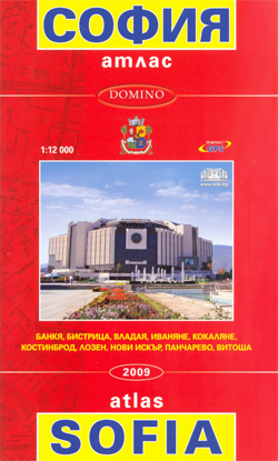
Street Atlas of Sofia with its outer suburbs and satellite districts at 1:12,000, with a topographic map of the Vitosha massif at 1:50,000 and a 4-page English language to the capital. The city’s tram, trolleybus and bus lines are shown with stops and line numbers. One way streets are marked, plus car parks, locations of
Dinara
The south-eastern part of the Dinara – Troglav mountain range on the border of southern Croatia and Bosnia-Herzegovina on a contoured and GPS compatible map at 1:25,000 from the Croatian Mountain Rescue Service. Coverage extends southwards from the peak of Troglav to Maljkovo near the Perucko Lake.Contours at 10m intervals enhanced by relief shading provide
Bulgaria Pocket Road Atlas

Pocket Road Atlas of Bulgaria at 1:560,000 from Domino with very clear presentation of the country’s topography. Road network indicates driving distances on all routes. Railway lines are included. The main holiday areas of the Black Sea coast are shown in greater detail and the atlas also includes plans highlighting main traffic routes across Sofia,
Dubrovacko Primorje
Brac Island
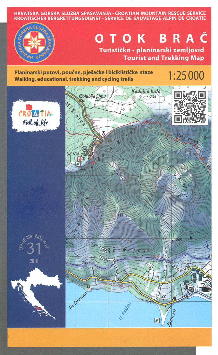
The island of Brac on the Adriatic coast of Croatia on a contoured and GPS compatible map at 1:25,000 from the Croatian Mountain Rescue Service, highlighting recommended cycling routes, with 26 routes profiles. The island is shown on both sides of the map with similar cartography (contours at 10m intervals enhanced by relief shading to
World Executive Ray & Co Wall Map ENCAPSULATED
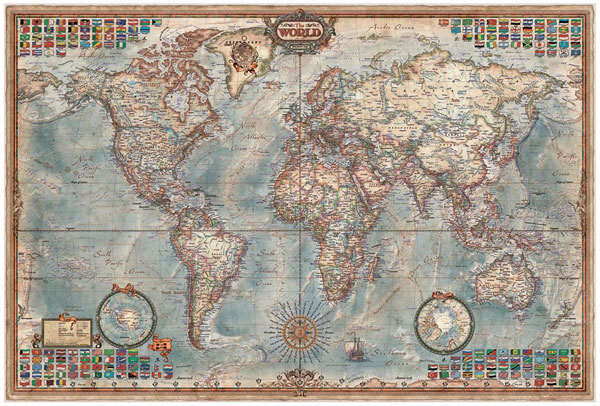
Encapsulated version of The World Executive Map from Ray & Co. (136 x 92 cm / 3’5″ x 3″ approx.) which presents a political map of the world in a style and colouring reminiscent of the old antique maps, with countries defined by different colour borders.Country, city and other place names are given in English.
Eastern Rhodope Mountains
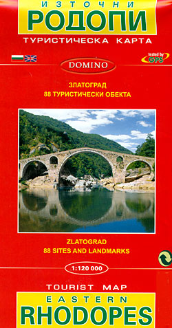
Eastern Rhodope Mountains on a detailed road map at 1:120,000 from Domino with a street plan of Zlatograd, brief descriptions of 87 places of interest, plus on the reverse plans of the archaeological remains at Perperikon and Tatul.On one side is a detailed road map of the eastern part of the Rhodope Mountain along the
Bulgaria – City Centres Domino Road Map

Bulgaria at 1:540,000 on an indexed road from Domino with on the reverse street plans of city centres in the country’s six main towns: Sofia, Plovdiv, Varna, Burgas, Ruse and Stara Zagora. All place and street names are in Latin alphabet.The main map provides a clear picture of the country’s topography with bright altitude colouring
Bulgaria (with Street Plans of Black Sea Resorts)
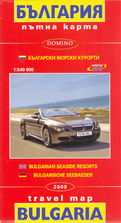
Bulgaria at 1:540,000 from Domino with on the reverse street plans of central Varna and Burgas, plus plans of other Black Sea resorts: Albena, Balchik, Golden Sands, Nesebar, Sozopol, St. Konstantin and Sunny Beach, The main map provides a clear picture of the country’s topography with bright altitude colouring enhanced by relief shading and spot
Sofia Domino Street Plan

Street plan of Sofia at 1:19,000, with an enlargement for the city centre, public transport routes, and an extensive gazetteer of hotels, services, places of interest, etc. All street and place names are in Latin alphabet only.On one side is an indexed street plan of the city, showing tram, trolleybus and bus routes with stops
Plovdiv
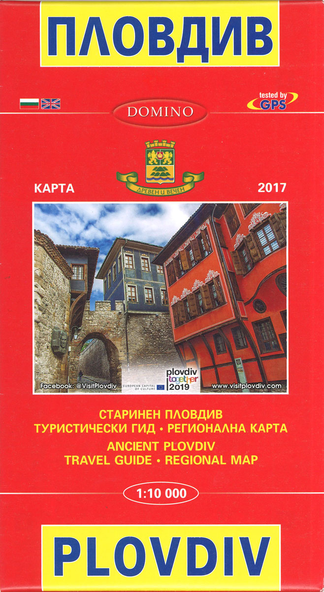
Street plan of Plovdiv at 1:10,000, with a map highlighting the city’s historic sights, plus an extensive English language list of various local services such as hotels, banks, shopping, etc. The plan shows trolleybus, bus and minibus routes with stops and line numbers.On one side is a plan of the whole city with all place
Varna
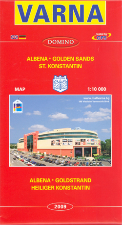
Street plan of Varna at 1:10,000, with an enlargement for the city centre, plans of the nearby resorts of Golden Sands, Albena and St. Konstantin, plus and extensive gazetteer of accommodation and services. All street and place names are in Latin alphabet only.On one side is an indexed street plan of the city with insets
Burgas and the Nearby Black Sea Resorts
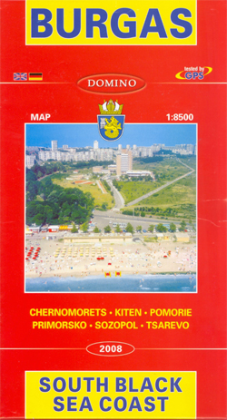
Street plan of Burgas at 1:8,500, with plans of other nearby holiday resorts along the Black Sea coast: Primorsko, Pomorie, Chernomorets, Sozopol, Kiten and Tsarevo. Plus extensive English language information on accommodation, etc. On one side is a street plan of Burgas, with insets at various scales extending coverage to satellite districts of Meden, Dolno


