Category Archives: Maps
Chile`s Lake District: Pto. Varas – Ensenada – Cochamรณ

The southern part of Chile`s Lake District around Pto. Varas, Ensenada and Cochamรณ on a detailed, double-sided map from Pixmap Cartografรญa Digital providing a vivid presentation of the region’s topography. On one side a map at 1:100,000 covers Lago Llanquihue with Puerto Varas (just north of Puerto Montt) and the area to the east including
Rรญo Los Cipreses National Reserve
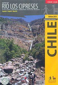
Rรญo Los Cipreses National Reserve on a waterproof and tear-resistant map from Trekkingchile presenting the whole Reserve at 1:100,000, plus its northern part in more detail on an enlargement at 1:25,000. Coverage of the main 100K map extends from El Manzanal southwards to the glaciers around the Cerro Alto de los Arrieros. Contours are at
Volcรกn Villarrica – Lago Caburgua
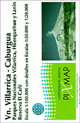
Pucรณn and the region to the east of it with three volcanoes, Villarrica, Quetrupillรกn and Lanรญn, also Lago Tormen, Lago Caburgua, Huerquehue National Park and the Caรฑi Reserve on a map at 1:100,000 from Pixmap Cartografรญa Digital, with on the reverse more detailed enlargements for five areas covered by the main map.The map base, derived
Puyehue
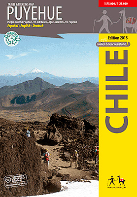
Puyehue at 1:75,000 on a contoured, GPS compatible map form Trekkingchile, printed on light, waterproof and tear-resistant synthetic paper. The main map is at 1:75,000, with insets for Anticura (enlarged at 1:25,000) and Antillanca (at 1:40,000). Contours are at 50m intervals with colouring and graphics showing different types of vegetation. The map shows local roads,
Aconcagua – Cordon del Plata
Aconcagua at 1:60,000 with on the reverse side the Cordรณn del Plata at 1:50,000 on detailed, GPS compatible map from Piximap, with trekking trails, camping sites, etc. The map provides a good picture of the region’s terrain through contours at 50m intervals enhanced by relief shading and colouring for grassland and glaciers, plus plenty of
Torres del Paine – Puerto Natales and Environs
Torres del Paine at 1:75,000 with hiking trails and route profiles on a GPS compatible, contoured map from Piximap, plus on the reverse the fjords west of Puerto Natales at 1:250,000 and a street plan of the town.On one side is the central area of the Torres del Paine National Park, extending from Posada Rio
Bulgaria (with Sites and Landmarks)
Bulgaria at 1:620,000 from Domino with on the reverse a panorama map covered with small photos of the country’s 525 most important sites and landmarks, all cross-referenced to a list grouping them by regions and locations.The main map provides a clear picture of the country’s topography with bright altitude colouring enhanced by relief shading and
Bulgaria Wine Map

Colourful map of Bulgaria highlighting locations of 152 wine producers, all listed on the reverse with contact details and names of their principal brands, plus a list of award winning and elite wines, details of grape varieties cultivated in Bulgaria, etc.On one side a map of Bulgaria with relief shading and colouring showing the country’s
Balkan Peninsula

The Balkans at 1:1,200,000 on a double-sided map from the Bulgarian publishers Domino, showing the region’s road network in detail and presenting its geography with bright altitude colouring. Coverage with full detail includes Romania and Moldova; the whole of Hungary is also on the map but with information limited to larger towns and principal roads.The
Ahtopol – Sinemorets
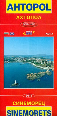
Black Sea resorts of Ahtopol and Sinemorets on a double-sided street plan from Domino, each with a brief description of the town and its sights, plus a list of hotels and other tourist accommodation.The two towns are shown with names of main streets in both Cyrillic and Latin alphabet. Symbols indicate locations of hotels, shopping
Stara Planina Central: Zlatitsa to Kalofer Domino Map
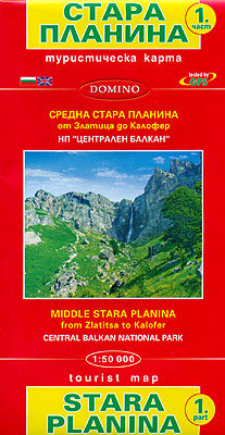
Stara Planina Central: Zlatitsa to Kalofer map at 1:50,000 from Bulgarian publishers Domino, contoured and GPS compatible, with hiking trails, accommodation options including a list of local mountain refuges, etc. The map is double-sided and covers the mountains from just west of Ribaritsa and Zlatitsa eastwards beyond Kalofer to the peak of Zli Vrah.Maps in
Stara Planina Central: Uzana to Vratnik Domino Map
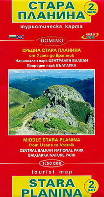
Stara Planina Central: Uzana to Vratnik map at 1:50,000 from Bulgarian publishers Domino, contoured and GPS compatible, with hiking trails, accommodation options including a list of local mountain refuges, etc. The map is double-sided and covers the mountains from just west of the Uzana massif, the geographical centre of Bulgaria, eastwards to the peak of
Smolyan – Chepelare – Pamorovo and the Surrounding Area

Street plans of Smolyan, Chepelare, each annotated with tourist facilities including a list of hotels, plus a contoured map of the surrounding region with hiking routes, and a panorama map of ski runs from the Snezhanka mountain.On one side is a street plan of Smolyan at 1:13,000 with an enlargement showing the town centre in
Stara Planina Western: Belogradchik to Berkovita Domino Map

Stara Planina Western: Belogradchik to Berkovita map at 1:50,000 from Bulgarian publishers Domino, contoured and GPS compatible, with hiking trails, accommodation options including a list of local mountain refuges, etc. The map is double-sided and covers the mountains from the peak of Byala Voda near Belogradchik eastwards to just beyond Berkovita.Maps in the Domino series
Bulgaria Road Atlas

Road Atlas of Bulgaria at 1:330,000 from Domino with street plans of central Sofia, Plovdiv, Varna and Burgas, enlargements for the Black Sea coast holiday areas, plus lists of 100 best tourist sights and 169 monasteries.The atlas provides an excellent picture of the country’s topography with bright altitude colouring enhanced by relief shading and spot
Stara Planina Western: Berkovita to Zlatitsa Domino Map
Stara Planina Western: Berkovita to Zlatitsa map at 1:50,000 from Bulgarian publishers Domino, contoured and GPS compatible, with hiking trails, accommodation options including a list of local mountain refuges, etc. The map is double-sided and covers the mountains from Varshets (directly north of Sofia) to just beyond Etrepole.Maps in the Domino series have contours (interval
Bulgaria Domino DOUBLE-SIDED Road Map

Bulgaria at 1:400,000 on a double-sided map from Domino, the country’s leading map publisher, with very clear presentation of the topography, a distance table, plus notes about driving regulations and road conditions.The map provides an excellent picture of the country’s topography with bright altitude colouring enhanced by relief shading and spot heights. National parks and
Strandzha Mountains: Burgas to the Turkish Border Domino Map
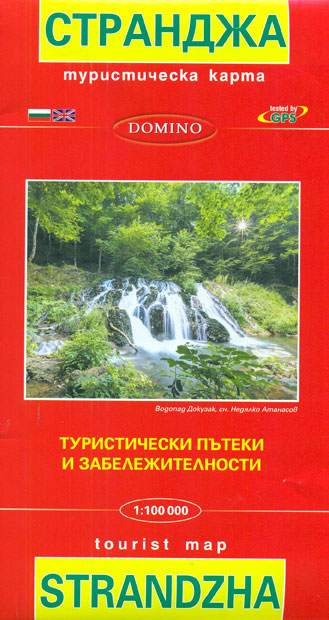
Strandzha Mountains in the south-eastern corner of Bulgaria between Burgas to the Turkish border on a contoured and GPS compatible map from Domino showing local hiking trails and highlighting various interesting sites, with three more detailed enlargements at 1:25,000. Most place names are in both Latin and Cyrillic alphabet; map legend includes English.Contours are at
Rila Mountains Domino
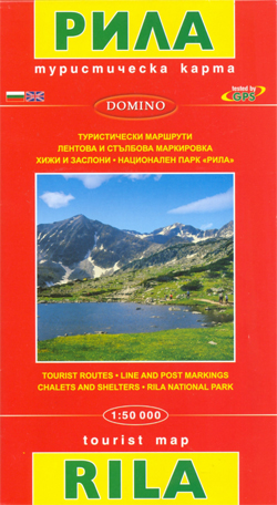
Rila Mountains at 1:50,000 on a large, double-sided, contoured map with GPS waypoints for shelters and chalets, peaks, etc. and highlighting hiking routes. Topography is shown by contours at 50m intervals with additional relief shading and graphics and colouring for scree, single rocks over 5m high, marshlands and pine scrub and forests. An overprint highlights
Sredna Gora

Sredna Gora on a contoured and GPS compatible map from Domino showing local hiking trails and highlighting various interesting sites. Most place names are in both Latin and Cyrillic alphabet; map legend includes English.To see other titles in this series please click on the series link.Maps in the Domino series have contours (interval in most


