Category Archives: Maps
Chile Compass Road Map
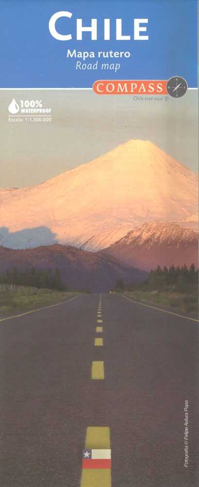
Chile on a waterproof and tear-resistant map at 1:1,300,000 from the locally-based Compass Editorial publishers, presenting the country on five panels. Road network is classified into five types: expressways, main, secondary and dirt roads; driving distances are shown on main and selected secondary routes, plus locations of petrol stations, tolls and borders crossings. Names of
Chiloe
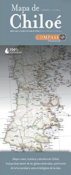
Road and theme map for tourists in Chiloรฉ. Contains a description of the churches declared world heritage as well as of the mythological characters of the islands.With a length of 180km and an average width of 50km, this archipelado is formed by more than fourty small islands and the main island: Isla Grande de Chiloรฉ.
Santiago de Chile
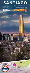
Santiago’s central districts at 1:8,000 on a large street plan from the Chilean publishers Compass Editorial, highlighting a wide range of facilities and places of interest, with extensive tourist information on the reverse, and printed on light, waterproof and tear-resistant synthetic paper.The plan prominently highlights the route of the city’s hop-on / hop-off sightsee bus
Valparaiso
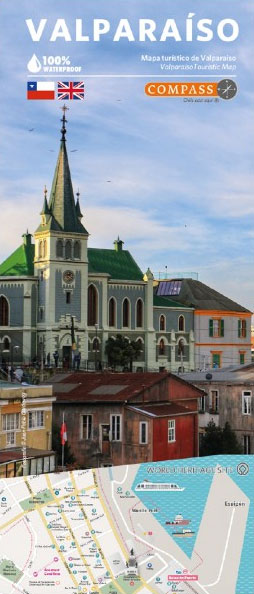
Valparaรญso City Map. Quick location of interest spots and their description in English.Valparaiso, Chile`s main port, was an obligated stop for sea commerce throughout the 18th and 19th centuries. This drammatically changed when the Panama Canal was opened. Valparaiso was declared World Heritage by the UNESCO. Its streets invite to visitors to beautiful views of
Copiapo – Elqui
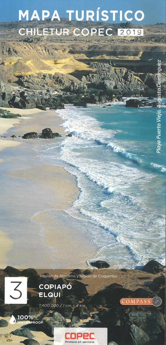
Copiapo Elqui, the valley of the Elqui and the surrounding region of northern Chile at 1:400,000 in a series of nine indexed and GPS compatible regional maps from Compass Editorial, printed on light, waterproof and tear-resistant synthetic paper. The maps provide an excellent representation of the topography and show many more locations than general maps
Zona Central Chile
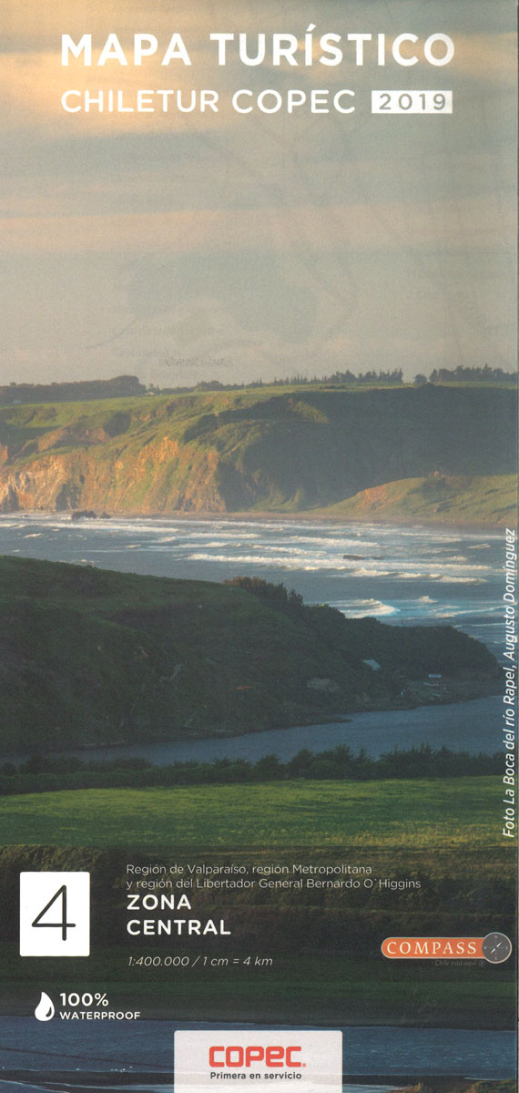
The Central Zone of Chile at 1:400,000 in a series of nine indexed and GPS compatible regional maps from Compass Editorial, printed on light, waterproof and tear-resistant synthetic paper. The maps provide an excellent representation of the topography and show many more locations than general maps of the whole country.Unlike most maps in this series,
Chile`s Lake District: Pto. Varas – Ensenada – Cochamรณ

The southern part of Chile`s Lake District around Pto. Varas, Ensenada and Cochamรณ on a detailed, double-sided map from Pixmap Cartografรญa Digital providing a vivid presentation of the region’s topography. On one side a map at 1:100,000 covers Lago Llanquihue with Puerto Varas (just north of Puerto Montt) and the area to the east including
Rรญo Los Cipreses National Reserve
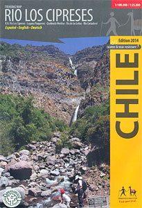
Rรญo Los Cipreses National Reserve on a waterproof and tear-resistant map from Trekkingchile presenting the whole Reserve at 1:100,000, plus its northern part in more detail on an enlargement at 1:25,000. Coverage of the main 100K map extends from El Manzanal southwards to the glaciers around the Cerro Alto de los Arrieros. Contours are at
Volcรกn Villarrica – Lago Caburgua
Pucรณn and the region to the east of it with three volcanoes, Villarrica, Quetrupillรกn and Lanรญn, also Lago Tormen, Lago Caburgua, Huerquehue National Park and the Caรฑi Reserve on a map at 1:100,000 from Pixmap Cartografรญa Digital, with on the reverse more detailed enlargements for five areas covered by the main map.The map base, derived
Puyehue
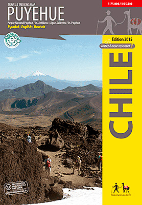
Puyehue at 1:75,000 on a contoured, GPS compatible map form Trekkingchile, printed on light, waterproof and tear-resistant synthetic paper. The main map is at 1:75,000, with insets for Anticura (enlarged at 1:25,000) and Antillanca (at 1:40,000). Contours are at 50m intervals with colouring and graphics showing different types of vegetation. The map shows local roads,
Aconcagua – Cordon del Plata
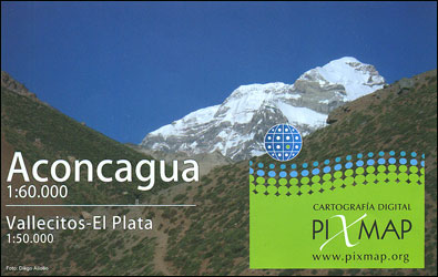
Aconcagua at 1:60,000 with on the reverse side the Cordรณn del Plata at 1:50,000 on detailed, GPS compatible map from Piximap, with trekking trails, camping sites, etc. The map provides a good picture of the region’s terrain through contours at 50m intervals enhanced by relief shading and colouring for grassland and glaciers, plus plenty of
Torres del Paine – Puerto Natales and Environs
Torres del Paine at 1:75,000 with hiking trails and route profiles on a GPS compatible, contoured map from Piximap, plus on the reverse the fjords west of Puerto Natales at 1:250,000 and a street plan of the town.On one side is the central area of the Torres del Paine National Park, extending from Posada Rio
Melado – Volcรกn San Pedro
Melado – Volcรกn San Pedro area at 1:50,000/1:25,000 in a series of contoured, GPS compatible trekking and exploration maps at various scales form Trekkingchile. The main map at 1:50,000 covers the trekking area areas of the Melado River, including Volcรกn San Perdo, Volcรกn San Pablo and the nearby peaks. Contours are at 50m intervals. The
Pucon – Villarrrica NP – Huerquehue NP
Pucรณn and Surrounding Region at 1:100,000 on a waterproof and tear-resistant map in a series of contoured, GPS compatible trekking and exploration maps at various scales form Trekkingchile. The map covers the area around Pucรณn, including Villarrica with Lago Villarrica and Volcรกn Villarrica, Huerquehue National Park, El Caรฑi Reserve, Lakes Caburgua, Colico and Calafquรฉn, and
Easter Island / Rapa Nui
The Easter Island / Rapa Nui at 1:50,000 from Trekkingchile with on the reverse a street plan of Hanga Roa annotated with tourist accommodation and other facilities, plus notes about the island’s famous moai statues.On one side is a map of the island, with contour lines at 25m intervals drawn on a satellite imagery base
Antuco – Laguna del Laja National Park
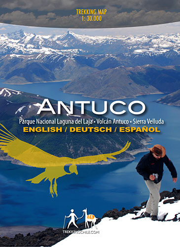
Antuco – Laguna del Laja National Park ‘“ Volcรกn Antuco ‘“ Sierra Velluda area at 1:30,000 in a series of contoured, GPS compatible trekking and exploration maps at various scales form Trekkingchile. The map has contours at 50m intervals, with graphics/colouring to show glaciers and different types of vegetation. Road network indicates paved or gravel
Nevados de Chillรกn
Nevados de Chillรกn group at 1:50,000 in a series of contoured, GPS compatible trekking and exploration maps at various scales form Trekkingchile. The map is centred on El Trumao and extends north-east to include the main group of the volcanos: Nevado, Vidaurre, Chillรกn Nuevo and Chillรกn Viejo. Contours are at 50m intervals. Symbols show campsites,
Chile and Santiago de Chile
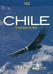
Chile at 1:2,500,000 on a locally produced road map from Trekkingchile, with on the reverse a street plan of central Santiago, plus a map of main roads around the capital. The road map presents Chile on three panels, with an additional inset for Tierra del Fuego.The map has altitude colouring in bands of 1000m and
Cajรณn del Maipo – Volcรกn San Josรฉ
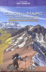
Cajรณn del Maipo – Volcรกn San Josรฉ region of central Chile east of Santiago on a waterproof and tear-resistant map in a series of contoured, GPS compatible trekking and exploration maps at various scales form Trekkingchile. On one side the main map at 1:100,000 covers the region eastwards along the River Maipo from Las Vertientes


