Category Archives: Globes
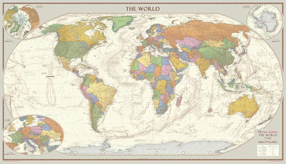
Global Mapping Antique Style World Map – Huge 2000 x 1150 mm

The 1:30M version won Best Printed Map from the British Cartographic Society (BCS) who also awarded it the BCS Cup for the best overall map. The classic design of muted colours and hill shading give an antique feel to the map. The map features insets of the two polar regions as well as an enlargement
Oxford Cartographers Peters Projection World Political Map 863 x 613 mm
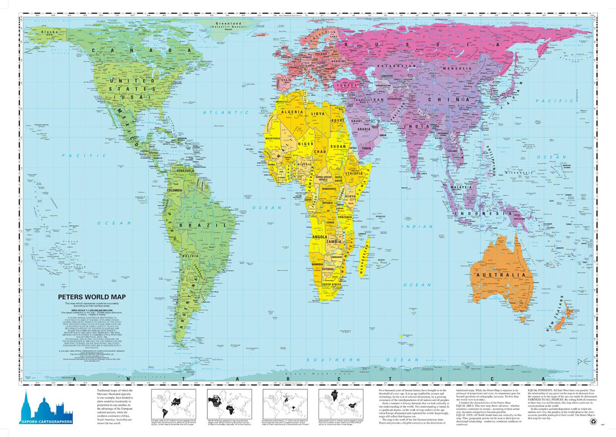
World map, politically coloured, on the Peters ProjectionMaps not only represent the world, they shape the way we see it. The revolutionary Peters Projection map presents countries in their true proportion to one another: it has been adopted by the UN, aid agencies, schools and businesses around the world.What is the Peters Map?The Peters World
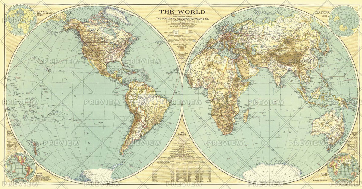
National Geographic World – Published 1935 1107 x 579 mm
Circus Globe for Kids Illuminated
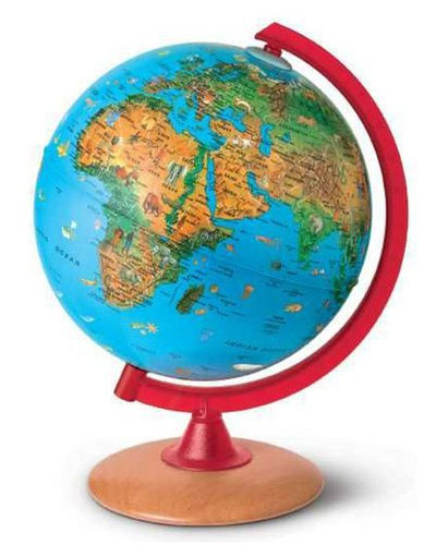
The Nova Rico 25cm Circus Illuminated Children`s Globe features different animals from around the world. The animals are highlighted on the globe in their natural habitats for easy reference. It`s a great tool for teaching kids about geography as well as the environment. Shows main political boundaries and world`s physical features. All wording on the
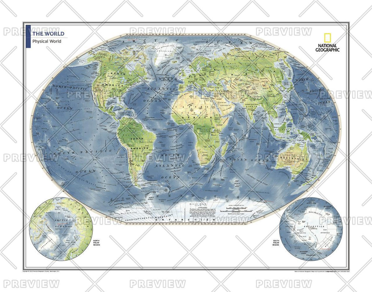
National Geographic World Executive Spanish – Published 2005 988 x 646 mm
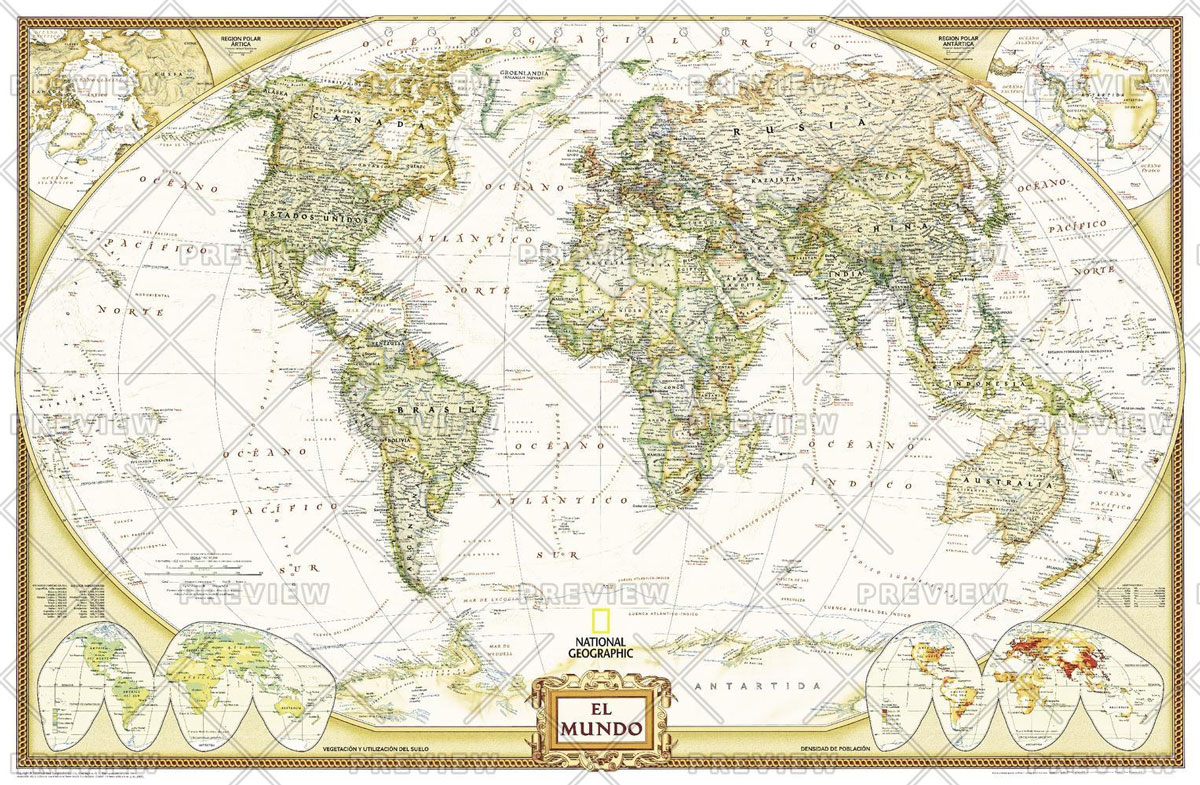
National Geographic`s Executive style World Map translated to Spanish features the Winkel Tripel projection to reduce distortion of land masses as they near the poles. This creates the most visually accurate representation of Earth`s land-masses, versus other projections. The Classic series includes blue oceans, easy-to-read colourful boundaries, and National Geographic`s proprietary fonts. Up-to-date and very
The Charleston Illuminated Globe (Exec NGS)
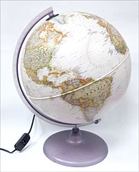
The Charleston is an illuminated 30 cm diameter globe, with a half meridian and a round base. It features antique style National Geographic cartography showing up-to-date political and physical information. The exquisite look of the mapping is matched with a wealth of details. Current world political information, shows states in different colours and names capitals
The Charleston Classic Globe
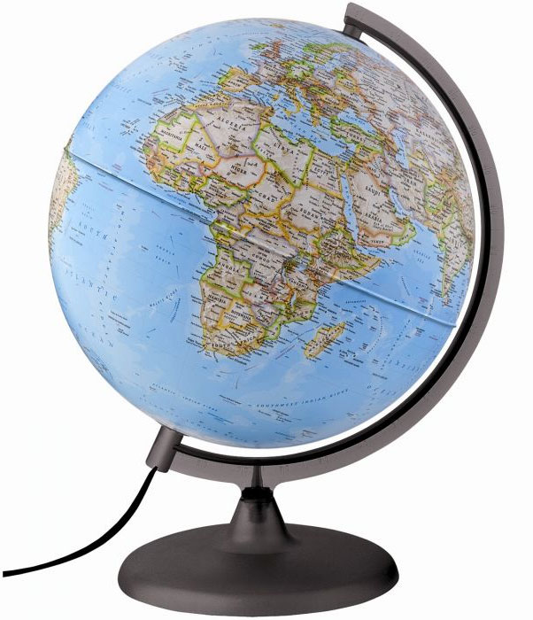
The Charleston Classic is an illuminated 25 cm diameter globe, with a half meridian and a round base. It features classic style National Geographic cartography showing up-to-date political and physical information. The exquisite look of the mapping is matched with a wealth of details. Current world political information, shows states in different colours and names
World Map Passport Wallet
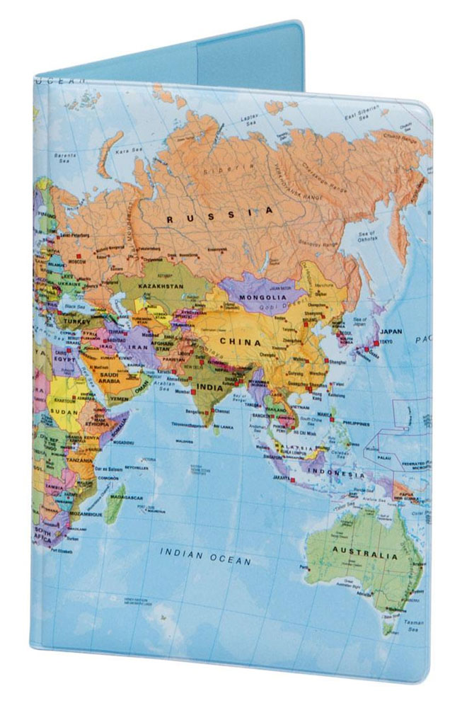
Crafted Lines’ London Underground Map Oyster wallet is the perfect sized accessory for carrying your travel tickets, cards and notes and is designed as the most stylish and practical way to carry your Oyster card for travel on the London Underground and buses.The card-holder`s surface is entirely covered by the Underground map, showing the complete
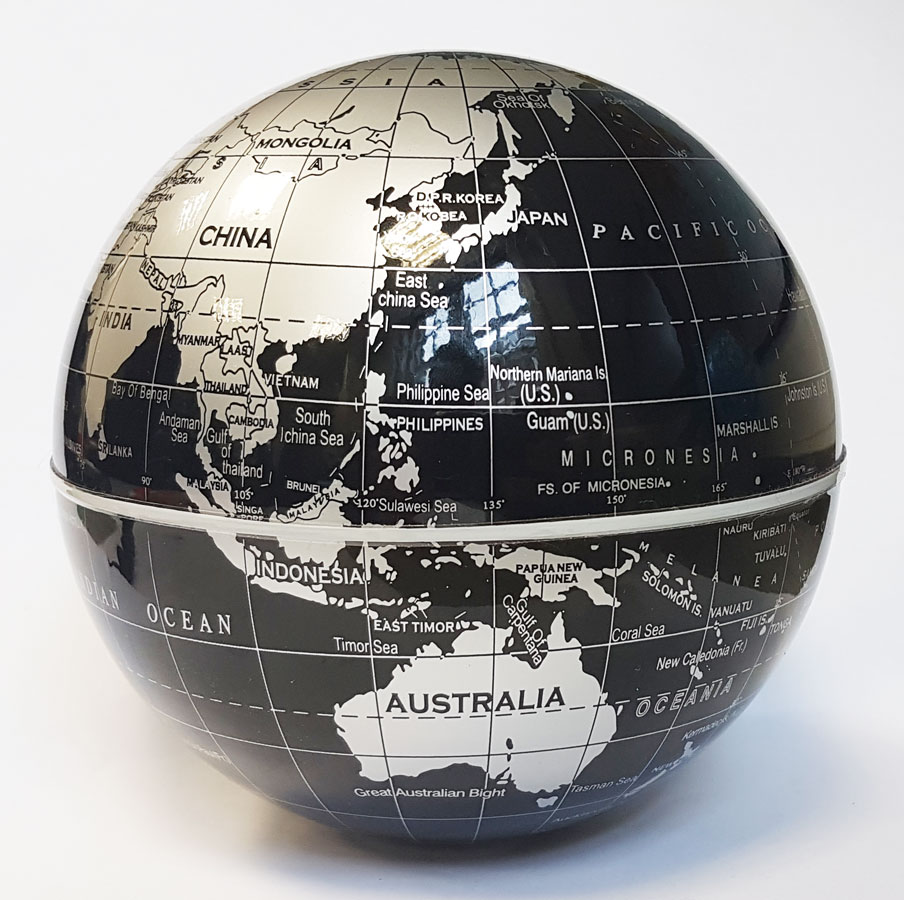
Magnetic Desk Globe (Black)
Great accessory to hold any of our small globe keepsakes. Rosewood base with antique finished brass hanger. Globe sold separately.If we do not have this item in stock we will order it for you from our supplier. Delivery generally takes 3 weeks within the UK. For overseas delivery queries please email sales@stanfords.co.uk
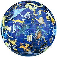
Constellation Celestial Globe (40cm/16″)
World Children`s Illustrated Political Kruger & Schonhoff Wall Map
Antique World Globe 15cm: Swivel and Tilt World Antique Globe
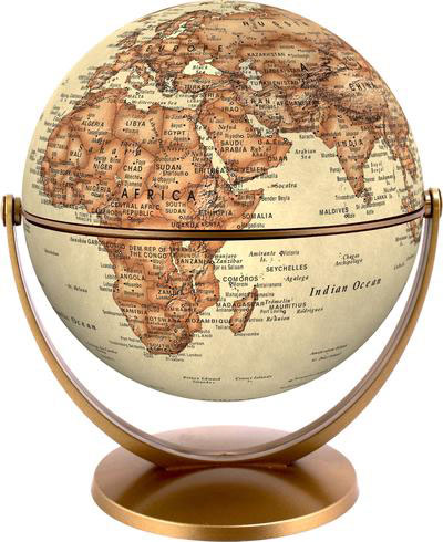
Rotates in all directions – the swivel and tilt mechanism allows users to whiz around the world in all directions.Highly-stable, elegant base – will look stylish in any location and withstand constant use.Bright colours provide a really clear map image – users can easily see the borders between countries.Eye-catching display box – each globe comes
Political World Globe 15cm: Swivel and Tilt World Political Globe
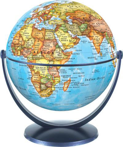
Rotates in all directions – the swivel and tilt mechanism allows users to whiz around the world in all directions.Highly-stable, elegant base – will look stylish in any location and withstand constant use.Bright colours provide a really clear map image – users can easily see the borders between countries.Eye-catching display box – each globe comes
Physical World Globe 15cm: Swivel and Tilt World Physical Globe
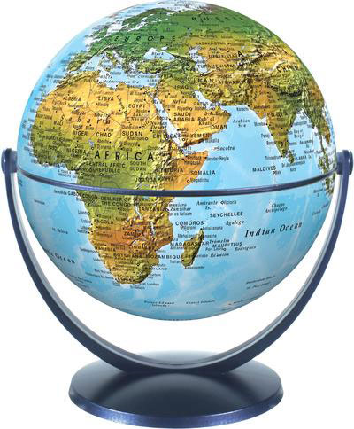
Rotates in all directions – the swivel and tilt mechanism allows users to whiz around the world in all directions.Highly-stable, elegant base – will look stylish in any location and withstand constant use.Bright colours provide a really clear map image – users can easily see the borders between countries.Eye-catching display box – each globe comes


