Category Archives: Caribbean
NGA Chart 21510 – Puerto Madero to Acajutla, Guatemala
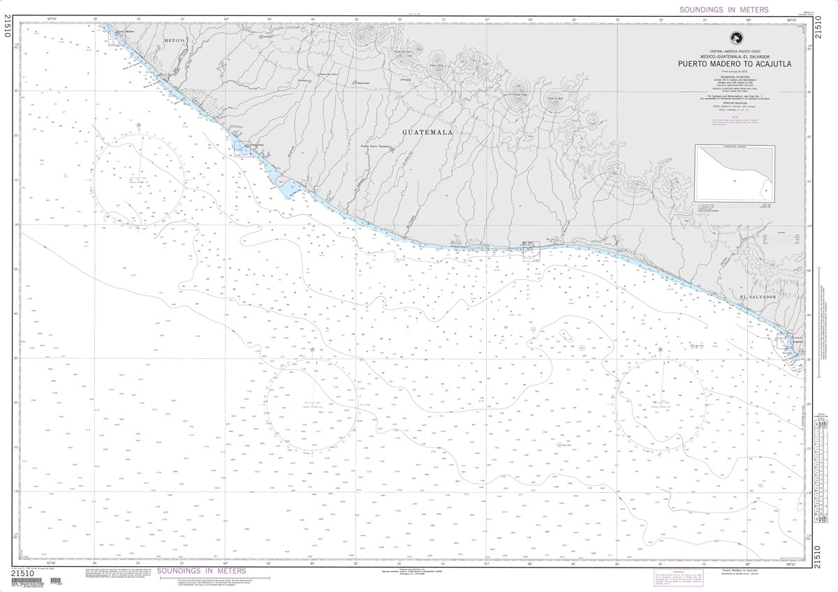
Produced by the US Government, National Geospatial-Intelligence Agency (NGA) charts provide information for the International Waters. They are printed on demand at our London shop and are supplied as flat charts.PLEASE NOTE: NGA charts are not updated often, therefore some may no longer be suitable for safe navigation and should be used for reference only.
NGA Chart 21550 – Cabo Velas to Cabo Blanco, Costa Rica

Produced by the US Government, National Geospatial-Intelligence Agency (NGA) charts provide information for the International Waters. They are printed on demand at our London shop and are supplied as flat charts.PLEASE NOTE: NGA charts are not updated often, therefore some may no longer be suitable for safe navigation and should be used for reference only.
NGA Chart 21601 – Morro de Puercos to Panama

Produced by the US Government, National Geospatial-Intelligence Agency (NGA) charts provide information for the International Waters. They are printed on demand at our London shop and are supplied as flat charts.PLEASE NOTE: NGA charts are not updated often, therefore some may no longer be suitable for safe navigation and should be used for reference only.

Mexico
Mexico stands for barren landscapes and cacti, pyramids and palm beaches, indigenous cultures and scorching sun. The country impresses with its imposing scenery, fascinating archaeological sites and picturesque colonial towns. This volume shows the variety and beauty of Mexico in over 500 stunning photographs.


Mexico – Guatemala – Belize – El Salvador Marco Polo Road Map
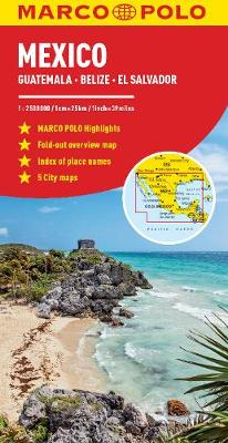
Marco Polo Mexico Map: the ideal map for your tripLet the Marco Polo Mexico Map guide you around this fascinating country. Discover a diverse landscape of mountains, deserts and jungles, ancient ruins, colonial towns and incredible beaches with this highly durable touring map of Mexico. It folds away easily and is always on standby to
20th Century Travel

Over the course of the twentieth century, travel experienced an unprecedented boom. As ocean liners broke speed records, aerodynamic trains roared down tracks, and stylish boat-plane clippers evolved into jumbo jets, travel transformed from a cushioned journey of the elite into a convenient pastime for the general public.With the mass production of automobiles, invention of

Monterrey: Architectural Guide

Monterrey means mountain king, a name befitting its location surrounded by the Sierra Madre in north-eastern Mexico. It was founded in 1596 near the natural springs of Santa Lucia, a luscious oasis in an otherwise arid landscape. Its colonial beginnings are still visible in the architecture of the Barrio Antiguo district in the city centre.
Amaze

Cristina Mittermeier knows a thing or two about water. Trained as a marine biologist and a photographer, the Mexico City-born Mittermeier combines her work behind the lens with her passion for environmentalism, taking pictures around the world to explore our relationship to the earth and ocean and to draw attention to the beauty and the