Category Archives: Accessories
Great Britain: A-Z Regional Road Maps and Atlases
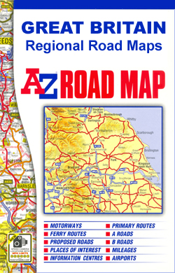
Great Britain in a series of indexed regional road maps from A-Z at scales adjusted to the more traditional ratios expressed in miles to one inch; most titles are at 3 miles to 1โ€ (1:200.000), with clear presentation of the road network, topographic information, places of interest, etc. Publishersโ€ cartography used in their 5 miles
Light Blue Political Globes
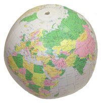
These fantastic inflatable political globes take learning geography from inside the home and onto the beach!
Great Britain: AA Regional Road Maps

Great Britain on nine indexed road maps from the AA, with particularly clear presentation of the road network and places of interest on a plain, unobtrusive base. Each title includes city centre street plans of the regionโ€s main towns, also indexed and showing one way streets. England is covered at 1:200,000 (1โ€ to 3 miles),
Berlitz Language Titles

A selection of language titles from Berlitz, to aid you before and during your travels. Berlitz have been producing language titles and promoting language learning for more than 125years. Catalogue selection comprising the following Berlitz series: Phrase books and Dictionaries, Phrase books and CDs, Shortcuts toโ€ฆ, Travel Packs, i-Phrase, โ€ฆin 60 Minutes, โ€ฆin 30 Days,
Georgia: Geoland 50K Trekking Maps
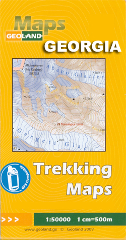
Caucasus Mountains in Georgia and the Borjomi Gorge area at 1:50,000 in a series of double-sided, contoured and GPS compatible maps from the Georgian publishers Geoplan, with an overprint providing tourist information including local accommodation and sights. Selected titles are also available in waterproof and tear-resistant versions.The maps have contours at 20m intervals, with additional
Thailand: ThinkNet Regional Road Maps
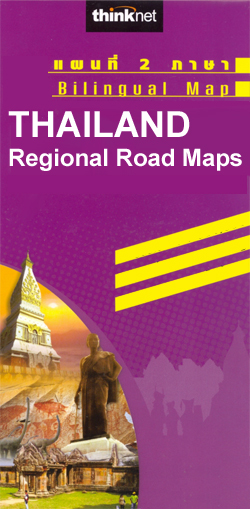
Thailand on regional road maps from the Bangkok based ThinkNet, each combining the main map with several enlargements and/or street plans. All information is bilingual, shown in Thai and English.Road and rail networks are shown on a base with colouring indicating the countryโ€s administrative provinces. The maps offer no topographic information beyond rivers and lakes.
Insight Pocket Guides
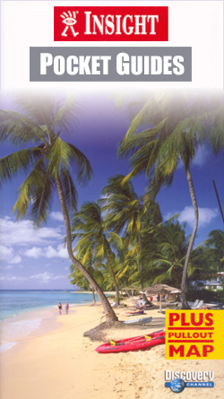
The Pocket Guide series from Insight provides detailed commentary on a collection of itinerary based trips in a handy pocket format. Each guide has an historical and cultural introduction, profiling the growth of the region or city. There is also a large selection of localised and pedestrian friendly tour itineraries designed to take in the
Wainwright`s Guides to the Lakeland Fells and Other Locations
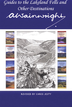
Wainwright`s Guides to the Lakeland Fells and Other Locations is a series collecting together the reproduced volumes of the great fell walker Wainwrightโ€s famous hand drawn and written exhaustive guide to the Lake District in seven volumes plus an additional volume for minor fells (hardback, pocket size) and some related north of England titles.. Each
N/A 167

The Key Guide series from AA Publishing explores a range of international destinations and has recently been re-launched with full colour pages. Thorough and detailed in style, the guides are targeted at an older audience, exploring the principal sights, walks, activities, restaurants and accommodation of the destination. A detailed introductory section provides comprehensive information about
Russia: Merkury 700K Regional Road Maps of Western Russia

The central part of European Russia and the adjoining regions of its western neighbours on detailed touring road maps at 1:700,000 with English language map legend. All place names are in the Cyrillic alphabet only.Roads are graded into 13 different types according to their width and official administrative status. Fuel or car repairs stations as
Great Britain: Philip`s City Street Atlases
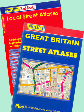
Philip`s โ€Red Booksโ€ Street Atlases, a series of A5 paperback atlases covering Britainโ€s towns and smaller cities. Each title each fully indexed, with different colouring to highlight public or commercial buildings and places of interest (museums, gardens and nature reserves, etc). Where appropriate the city centre is shown enlarged. The โ€Red Booksโ€ atlases were previously
USA: Rand McNally State Maps
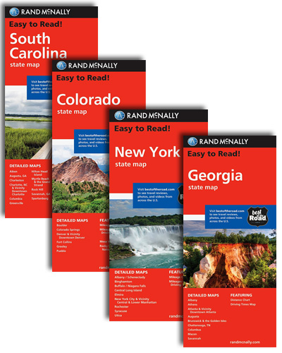
US state maps from Rand McNally, the countryโ€s leading publisher of road maps and street plans, available in two formats: double-sided Easy-to-Read maps with numerous enlargements for cities and/or most visited areas, and laminated Easy-to-Fold maps in a more handy format but with smaller print. For clarity of road information the maps present the road
Cicerone European Cycling Guides (Non UK and Ireland)
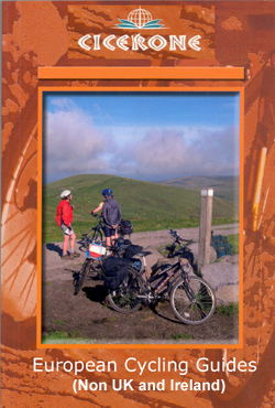
Cicerone European Cycling Guides (Non UK and Ireland) offer a range of specific titles for scenic, primarily long distance, cycle routes on the continent; ideal for planning a cycle touring holiday or for local, longer distacne bike excursions. Relevant accommodation options and nearby points of interest are given, as is summary visitor information to towns
Culture Smart! Guides
The Culture Smart range of pocket-sized guide books provide detailed information on local customs, culture, etiquette and manners; ensuring that visitors are prepared for a diverse range of social environments. The series covers an extensive number of countries worldwide and are designed both for those working and living abroad, as well as for visitors who
Archimap Architecture City Map Guides
Series of folded maps from Archimap Publishers highlighting significant architecture in the European and selected world cities, with an architectural guide on the reverse. The maps focus on contemporary architecture, urban developments and public spaces, with some also exploring historic architecture in selected European cities.The cartography is designed to show clearly the buildings included in
Cicerone Climbing, Mountaineering and Scrambling Guides

Cicerone Climbing, Mountaineering and Scrambling Guides are books about both the activities and techniques themselves, as well as the locations in which to do them, in both Great Britain and the rest of the world. The seriea also includes titles on alpine skiing and some guides include mountain walks to accompany the primary activity featured.Most
Michelin Green Guides: International Destinations
The Green Guide series from Michelin are detailed guides exploring the major sights and attractions of a range of cities, regions and countries. Drawing on a long publishing history, Michelin guides are renowned for their individual โ€star ratingโ€, ranking restaurants, sights and attractions. Listings in each guide are organised alphabetically, allowing readers to access information
Time Out Shortlist Guides

The Shortlist Guide series from Time Out explores a range of international destinations in a handy, pocket-sized format designed to introduce visitors to the best nightlife, entertainment and local attractions in the city. Expert local writers provide an encyclopaedic knowledge of each city, ensuring that the guides have won a reputation for their accuracy and
Michelin Red Guides

Michelin Red Guides are hotel and restaurant guides that have an unparalleled reputation for reliability and consistency, which makes extensive use of keyed information to provide detailed and concise reviews. Guides are predominantly intended for the markets they are reviewing and, as such, are more often than not written in the native language(s) of their
Insight Guides
The Insight Guide series encompass a wide-ranging list of guides dedicated to exploring a variety of destinations in detail with a selection of glossy illustrations. Extensive introductory sections explore the regionโ€s history and culture and there are also short articles written by locals about distinctive local issues. Selective photo-features illustrate the variety of the region.