Category Archives: Accessories
Peru: Alpenvereinskarte Trekking Maps
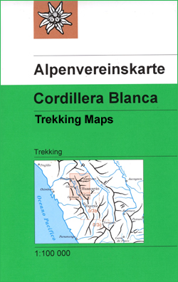
Excellent maps of the Cordillera Blanca and Cordillera Huayhuash, highlighting local hiking trails. The maps, produced by the Austrian Alpine Club and updated in mid-2000s, provide a very clear picture of the topography with contours at 50m intervals (25m in Cordillera Huayhuash), spot heights, relief shading, graphics to indicate rocks, scree and moraine and colouring
USA: Borch Regional Road Maps
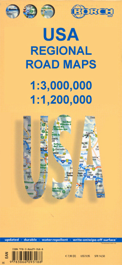
USA on laminated, waterproof and tear-resistant, indexed road maps covering the whole country at 1:3,000,000, with additional coverage of California and Florida at a more detailed scale of 1:1,200,000. Each map provides a selection of city centre street plans and maps of selected popular areas. Road detail includes interstate highways, main and secondary roads, with
Germany: Bavarian 50K Topographic Survey Leisure Maps
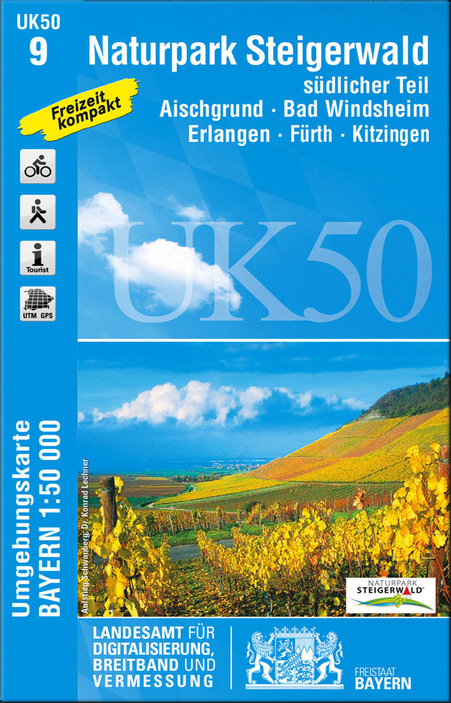
German Alps and the rest of Bavaria on special contoured and GP-compatible recreational maps from the Bavarian state survey organization, with cartography of the German topographic survey at 1:50,000 and extensive additional tourist overprint highlighting waymarked hiking trails and cycling routes, campsites and youth hostels, etc.All the maps have cartography identical to the standard topographic
Belgium: 50K Topographic Survey Maps
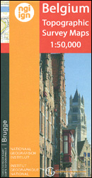
Topographical survey of Belgium at 1:50,000 from the countryโ€s national survey organization, Nationaal Geografisch Instituut / Institut Gรฉographique National. Contour interval varies according to the terrain, from 2.5 metres in the coastal areas to 10 metres in the Ardennes. The maps provide all the information expected of topographic mapping at this scale and additionally have
Germany: Freytag & Berndt Hiking and Leisure Maps
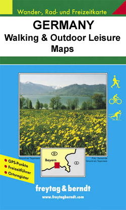
Contoured outdoor leisure maps, extending F&Bโ€s extensive coverage of Austria to the neighbouring regions and other popular hiking areas of Germany. The maps have contours at 100-metre intervals in the mountainous areas, and 50 metres elsewhere, shading and graphic relief. An overprint highlights hiking paths, cycling routes and, on most of the titles, ski routes.
Europe: Bikeline Map/Guides of Long-distance Cycling Routes

Long-distance cycle routes in many European countries in a series of map-guides from Verlag Esterbauer, usually referred to as the โ€Bikelineโ€ series, with detailed mapping showing the route and its variants, plus extensive information conveyed by symbols indicating road surface, campsites and other accommodation, repair workshops, recreational facilities, places of interest, etc. For more detailed
Hungary: Cartographia Hiking Maps
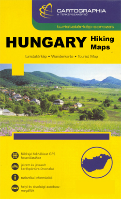
Hungaryโ€s best hiking and recreational areas on a series of contoured maps from the Budapest based Cartographia, with hiking routes and other tourist information, including in many titles street plans, cycling trails, etc. The maps have contours at 10m intervals with relief shading and spot heights, plus colouring and/or graphics to indicate different types of
Spain: 50K Catalan Topographic Survey
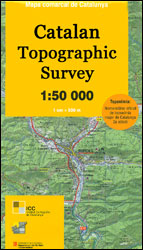
Topographic survey of Catalonia at 1:50,000 from the Institut Cartogrร fic de Catalunya, with vivid presentation of the terrain and an overprint for long-distance GR hiking trails. The series provides an excellent alternative to the much smaller sheets in the civilian or military surveys produced for the whole of Spain. The Catalan 50K series has not
Czech Republic: Kompass 50K Hiking Maps
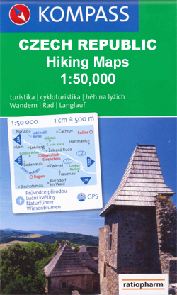
Czech Republicโ€s popular hiking and recreational areas in a series of contoured, GPS compatible maps at 1:50,000 from Kompass, the publishers of several similar series covering central and southern Europe, all listed on our website.The maps have contours at 20m intervals. An overprint highlights footpaths, indicating their waymarking, cycling routes, and where appropriate, ski routes.
Footprint `With Kids` Guides
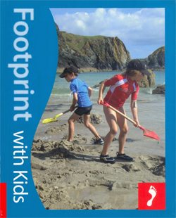
Footprintโ€s โ€With Kidsโ€ series covers a range of guides dedicated to travelling with children in Britain and Europe, incorporating child-friendly days out, activities, places to stay, accommodation and restaurants. Each of the guides in the series provides a comprehensive survey of the region and includes a large selection of recommendations for parents planning a trip
Greece: Anavasi 200K/250K Road Maps
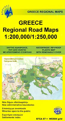
Greece in a series of double-sided, GPS compatible regional road maps from Anavasi printed on light, waterproof and tear-resistant plastic paper. The maps can be easily removed from their protective covers and folded or rolled into smaller size without any damage. Sheets published so far cover Peloponnese at 1:200,000 plus most of the remaining mainland
Berlitz Language Titles

A selection of language titles from Berlitz, to aid you before and during your travels. Berlitz have been producing language titles and promoting language learning for more than 125years. Catalogue selection comprising the following Berlitz series: Phrase books and Dictionaries, Phrase books and CDs, Shortcuts toโ€ฆ, Travel Packs, i-Phrase, โ€ฆin 60 Minutes, โ€ฆin 30 Days,
Georgia: Geoland 50K Trekking Maps
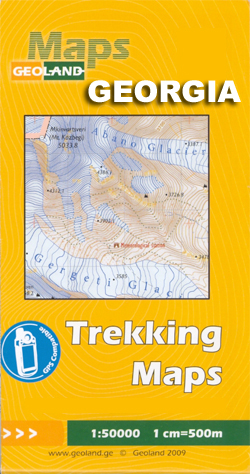
Caucasus Mountains in Georgia and the Borjomi Gorge area at 1:50,000 in a series of double-sided, contoured and GPS compatible maps from the Georgian publishers Geoplan, with an overprint providing tourist information including local accommodation and sights. Selected titles are also available in waterproof and tear-resistant versions.The maps have contours at 20m intervals, with additional
Thailand: ThinkNet Regional Road Maps
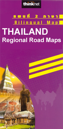
Thailand on regional road maps from the Bangkok based ThinkNet, each combining the main map with several enlargements and/or street plans. All information is bilingual, shown in Thai and English.Road and rail networks are shown on a base with colouring indicating the countryโ€s administrative provinces. The maps offer no topographic information beyond rivers and lakes.
Insight Pocket Guides
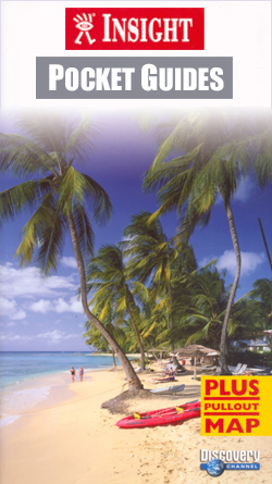
The Pocket Guide series from Insight provides detailed commentary on a collection of itinerary based trips in a handy pocket format. Each guide has an historical and cultural introduction, profiling the growth of the region or city. There is also a large selection of localised and pedestrian friendly tour itineraries designed to take in the
Wainwright`s Guides to the Lakeland Fells and Other Locations
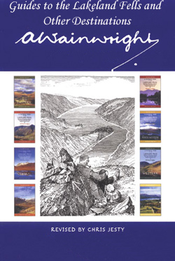
Wainwright`s Guides to the Lakeland Fells and Other Locations is a series collecting together the reproduced volumes of the great fell walker Wainwrightโ€s famous hand drawn and written exhaustive guide to the Lake District in seven volumes plus an additional volume for minor fells (hardback, pocket size) and some related north of England titles.. Each
N/A 167

The Key Guide series from AA Publishing explores a range of international destinations and has recently been re-launched with full colour pages. Thorough and detailed in style, the guides are targeted at an older audience, exploring the principal sights, walks, activities, restaurants and accommodation of the destination. A detailed introductory section provides comprehensive information about
Russia: Merkury 700K Regional Road Maps of Western Russia

The central part of European Russia and the adjoining regions of its western neighbours on detailed touring road maps at 1:700,000 with English language map legend. All place names are in the Cyrillic alphabet only.Roads are graded into 13 different types according to their width and official administrative status. Fuel or car repairs stations as
Great Britain: Freedom to Roam Rambling Guides for England and Wales
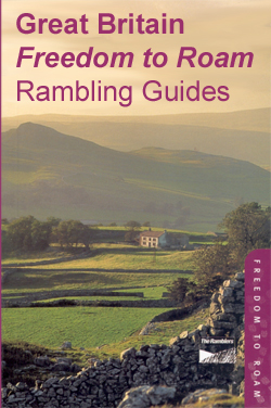
Great Britain: Freedom to Roam Rambling Guides for England and Wales were published in light of the โ€right to roamโ€ legislation, with the aim of creating a series of walking handbooks covering areas of mountains, moorland and heath newly opened up to walkers in England and Wales. Introductions are provided for each title`s overall area,
Hedonist`s Guides
Filmerโ€s Hedonist guide series covers a range of international cities and is designed for and aimed at a younger, sophisticated, up-market and more โ€stylishโ€ audience, with a focus on contemporary city living and recommendations for shopping, drinking, eating and sleeping. Each guide is compiled by a native of the city and aims to provide intelligent