Category Archives: Accessories
Germany: Hesse 50K Topographic Survey Leisure Maps

The German state of Hesse on contoured, GPS compatible recreational maps at 1:50,000 with cartography identical to the standard topographic survey of Germany and extensive additional overprint highlighting numerous local and long-distance hiking paths and cycling routes, tourist accommodation and recreational facilities, etc.The maps have contours at 10m intervals, with colouring for woodlands and graphics
Denmark: 100K Topographic Survey Maps
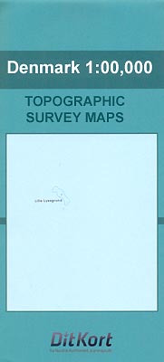
Topographic survey of Denmark at 1:100,000 from Kort & Matrikelstyrelsen, the countryโ€s national survey organization. The maps have contours at 5 metre intervals, with colouring and/or graphics showing various types of terrain and land use: woodlands, orchards, heath, sand and dunes, tidal flats, meadows and marshland, etc. The maps provide detailed presentation of the road
Great Britain and Ireland: Godfrey Editions of Historical Ordnance Survey 25″ Street Plans

Fascinating series of reproductions of old Ordnance Survey plans in the Alan Godfrey Editions, ideal for anyone interested in the history of their neighbourhood or family. Selected towns in Great Britain and Ireland are covered by maps showing the extent of urban development in the last decades of the 19th and early 20th century. The
South Africa: 50K Hiking Maps of the Drakensberg Mountains
Drakensberg Mountains on a series of six contoured and GPS compatible maps at 1:50,000 from the Kwazulu Natal Nature Conservation Service, highlighting hiking routes, entry points and restriction zones, locations of caves, accommodations facilities, etc, plus on the reverse drawings of the local flora and fauna, and other tourist information.A satellite image of the area,
Italy: IGC 25K Walking Maps of the Italian Alps

Italian Alps at 1:25,000 in a series of contoured, GPS compatible walking maps from the Turin based Istituto Geografico Centrale, highlighting hiking trails including long-distance routes, ski routes and alpine accommodation. The maps have contours at 25m intervals, enhanced by shading and graphic relief for very clear presentation of the terrain. An overprint highlights local
Netherlands: 50K Topographic Survey Maps
Kadaster, Holland`s national survey organization, produces one of the most attractive topographic surveys in Europe. The maps are very colourful, with their characteristic patchwork of polders and an unusually large amount of land use information: meadows, arable land, different types of forest, marshes, sand dunes, etc. Contours are shown at 5-metre intervals with numerous spot
Italy: IGC 50K Walking Maps of North-Western Italy
Italian Alps and Piedmont, the lakes and northern Lombardy, and the Italian Riviera at 1:50,000 from the Turin based Istituto Geografico Centrale on contoured hiking maps with local trails, long-distance footpaths, mountain accommodation, etc.The maps have contours at 50m intervals, enhanced by shading and graphic relief. An overprint highlights local footpaths and long-distance routes, including
USA: Earthwalk Press Hiking Maps
Hiking areas mainly in the western USA on detailed, contoured maps from Earthwalk Press with cartography based on the USGS topographic survey of the country plus additional information for visitors, printed on light, waterproof and tear-resistant synthetic paper.Contour interval is usually 40 feet and all heights are also given in feet. Colouring shows forested areas,
Portugal: Turinta Regional Road Maps
Portugal on a series of detailed, indexed touring maps from Turinta, the countryโ€s leading map publishers, each with street plans of main towns. The maps show the road and rail networks on a base with altitude colouring and highlight various places of interest and facilities. Cartography varies slightly according to the map scale – *please
Spain: Editorial Alpina Walking Maps
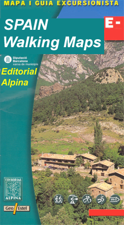
Extensive and very popular series of walking maps from Editorial Alpina covering the Pyrenees, Catalonia and other selected hiking areas in Spain, including Picos de Europa, Sierra Nevada and parts of Andalucรญa, Majorca, etc. Scales vary from 1:50,000 to 1:10,000, with the majority of the titles at 1:25,000. The maps have contours, usually at 20m
Italy: Ed. Multigraphic 100K Road Maps of Tuscany & Adjoining Areas
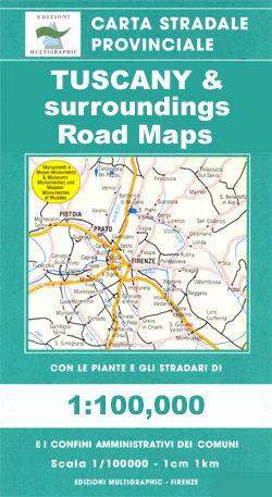
Local road maps based on the Italian topographic survey, with more place names than on other map series, especially of natural features such as mountains, mountain passes, etc. Although most maps have a contoured base, this does not always offer the presentation of the terrain expected of such cartography. The maps do show more minor
Europe: Bikeline Map/Guides of Long-distance Cycling Routes

Long-distance cycle routes in many European countries in a series of map-guides from Verlag Esterbauer, usually referred to as the โ€Bikelineโ€ series, with detailed mapping showing the route and its variants, plus extensive information conveyed by symbols indicating road surface, campsites and other accommodation, repair workshops, recreational facilities, places of interest, etc. For more detailed
Hungary: Cartographia Hiking Maps
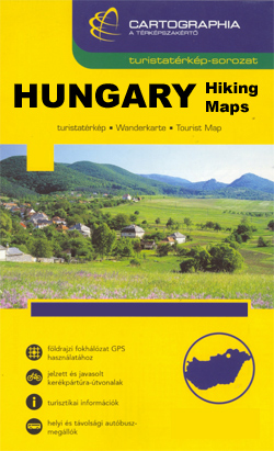
Hungaryโ€s best hiking and recreational areas on a series of contoured maps from the Budapest based Cartographia, with hiking routes and other tourist information, including in many titles street plans, cycling trails, etc. The maps have contours at 10m intervals with relief shading and spot heights, plus colouring and/or graphics to indicate different types of
Spain: 50K Catalan Topographic Survey
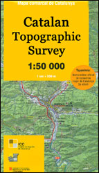
Topographic survey of Catalonia at 1:50,000 from the Institut Cartogrร fic de Catalunya, with vivid presentation of the terrain and an overprint for long-distance GR hiking trails. The series provides an excellent alternative to the much smaller sheets in the civilian or military surveys produced for the whole of Spain. The Catalan 50K series has not
Czech Republic: Kompass 50K Hiking Maps
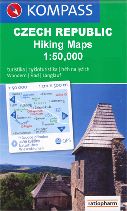
Czech Republicโ€s popular hiking and recreational areas in a series of contoured, GPS compatible maps at 1:50,000 from Kompass, the publishers of several similar series covering central and southern Europe, all listed on our website.The maps have contours at 20m intervals. An overprint highlights footpaths, indicating their waymarking, cycling routes, and where appropriate, ski routes.
Footprint `With Kids` Guides
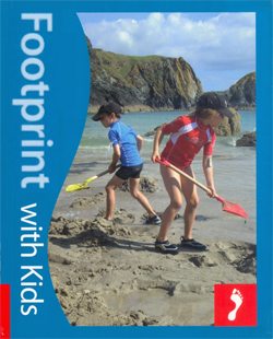
Footprintโ€s โ€With Kidsโ€ series covers a range of guides dedicated to travelling with children in Britain and Europe, incorporating child-friendly days out, activities, places to stay, accommodation and restaurants. Each of the guides in the series provides a comprehensive survey of the region and includes a large selection of recommendations for parents planning a trip
Greece: Anavasi 200K/250K Road Maps
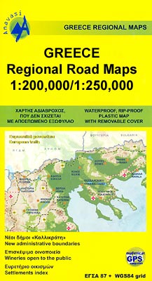
Greece in a series of double-sided, GPS compatible regional road maps from Anavasi printed on light, waterproof and tear-resistant plastic paper. The maps can be easily removed from their protective covers and folded or rolled into smaller size without any damage. Sheets published so far cover Peloponnese at 1:200,000 plus most of the remaining mainland
Germany: ADAC Regional Street Atlases
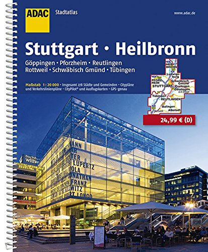
Germany covered by detailed street atlases at 1:20,000 with UTM coordinates for GPS navigation, postal codes and public transport, published by ADAC, the countryโ€s largest motoring organization. The plans name all the individual streets and indicate all the main landmarks and public buildings. All public transport facilities are shown: buses, trams, underground and overland rail
Africa: IGN 1:1,000,000 Topographic Maps of NW Africa

North-West Africa on a series of topographic maps from the IGN, Franceโ€s national survey organization, produced as part of the IMW project (see below) in 1960โ€s. Each map covers an area spanning 6ยฐ in longitude and 4ยฐ in latitude.There is some variation in colouring and the depiction of terrain, but hill-shading, spot heights and contours
Norway: Turkart 25K Topographic Hiking Maps

Selected popular hiking areas of Norway in a series of GPS compatible recreational Turkart maps at 1:25,000 from Nordeca with cartography based on the countryโ€s topographic survey, plus an overprint for additional tourist information. The base map is an enlargement of the standard 1:50,000 topographic survey series. Contours lines are drawn at 20m intervals. The